Cockshot Wood
Wood, Forest in Westmorland South Lakeland
England
Cockshot Wood
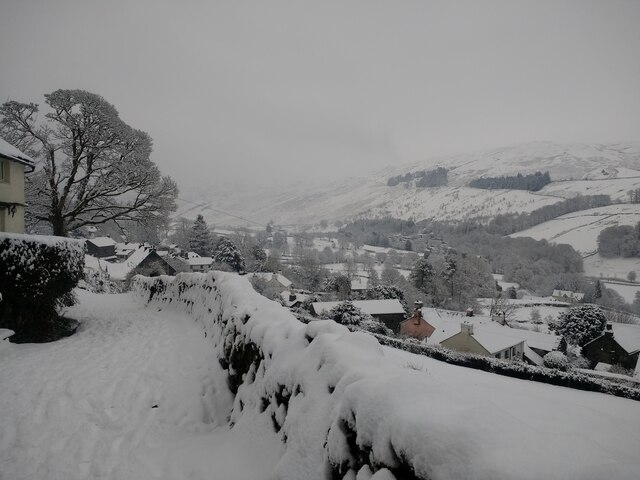
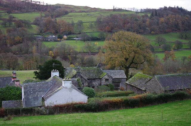
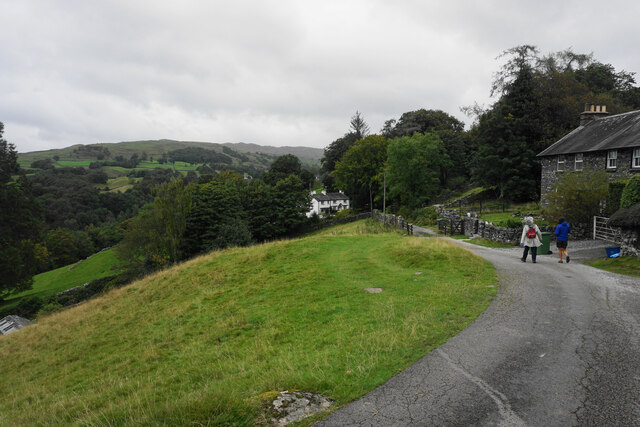
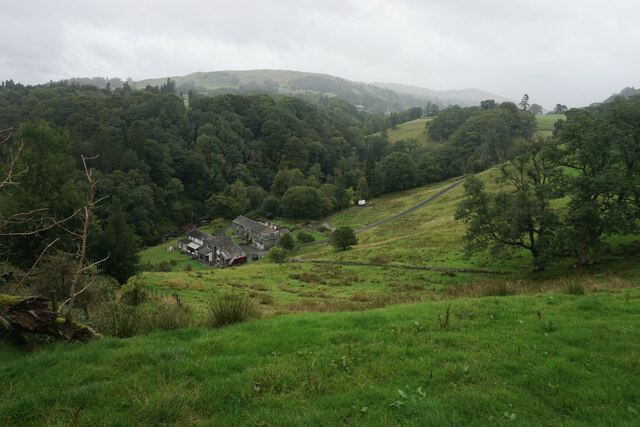
Cockshot Wood is a picturesque forest located in the county of Westmorland, England. Covering an area of approximately 400 acres, this enchanting woodland is a haven for nature lovers and outdoor enthusiasts alike.
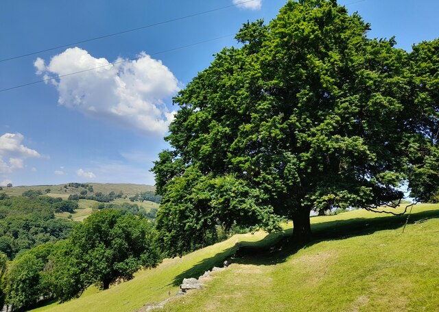
The wood is primarily composed of native broadleaf trees such as oak, ash, and birch, creating a diverse and vibrant ecosystem. These towering trees provide a thick canopy, offering shade and shelter to a wide variety of flora and fauna. Bluebells, primroses, and wild garlic carpet the forest floor in spring, creating a breathtaking display of colors and scents.
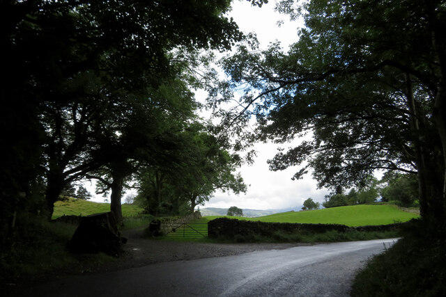
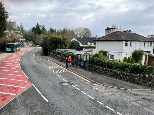
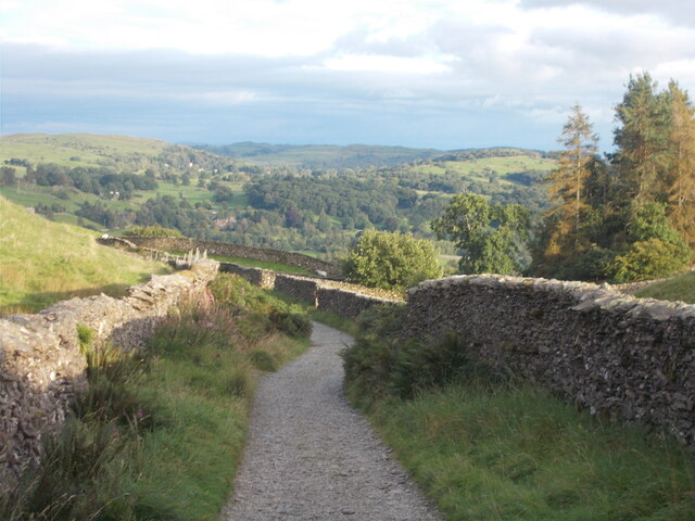
Cockshot Wood is known for its tranquil atmosphere, making it a popular destination for those seeking peace and solitude. Visitors can explore the network of well-maintained footpaths, which wind their way through the wood, offering scenic views at every turn. The sound of birdsong fills the air, with species such as woodpeckers, owls, and various songbirds calling the wood their home.
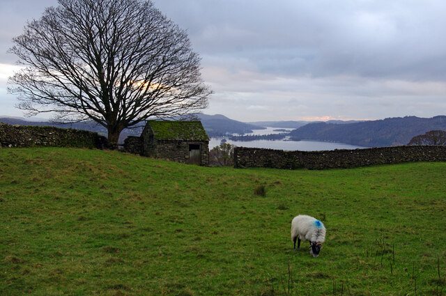
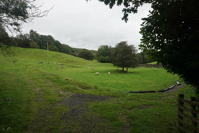
For wildlife enthusiasts, the wood provides a rich habitat for a diverse range of animals. Badgers, foxes, and deer are often spotted roaming among the trees, while the nearby river attracts otters and a variety of water birds.
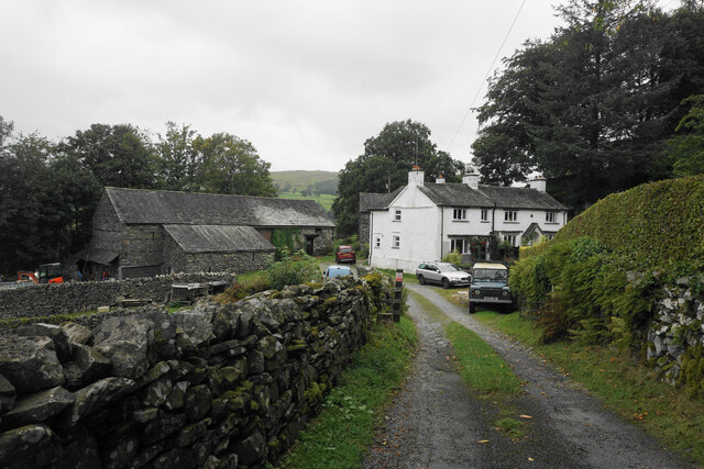
Cockshot Wood is also steeped in history, with evidence of human activity dating back centuries. The remains of an ancient settlement can be found within the wood, adding an aura of mystery and intrigue to the area.
Overall, Cockshot Wood is a natural gem, offering visitors a chance to immerse themselves in the beauty of nature and experience the rich biodiversity that Westmorland has to offer.
If you have any feedback on the listing, please let us know in the comments section below.
Cockshot Wood Images
Images are sourced within 2km of 54.406471/-2.9379838 or Grid Reference NY3901. Thanks to Geograph Open Source API. All images are credited.


Cockshot Wood is located at Grid Ref: NY3901 (Lat: 54.406471, Lng: -2.9379838)
Administrative County: Cumbria
District: South Lakeland
Police Authority: Cumbria
What 3 Words
///hurricane.scornful.enhancement. Near Ambleside, Cumbria
Nearby Locations
Related Wikis

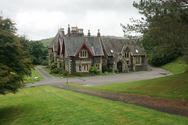
Langdale Chase
Langdale Chase, Windermere is a house of historical significance and is listed on the English heritage register. It consists of six acres of landscaped...

Holbeck Ghyll
Holbeck Ghyll is a restaurant located in Windermere, Cumbria, England. "The late 19th century building was once Lord Lonsdale's hunting lodge and only...

Brockhole
The Brockhole Lake District Visitor Centre, also known as the Brockhole National Park Visitor Centre, is a visitor centre and tourist attraction managed...
The Samling Hotel
The Samling Hotel (previously known as Dove Nest) near Windermere is a building of historical significance and is listed on the English Heritage. It was...
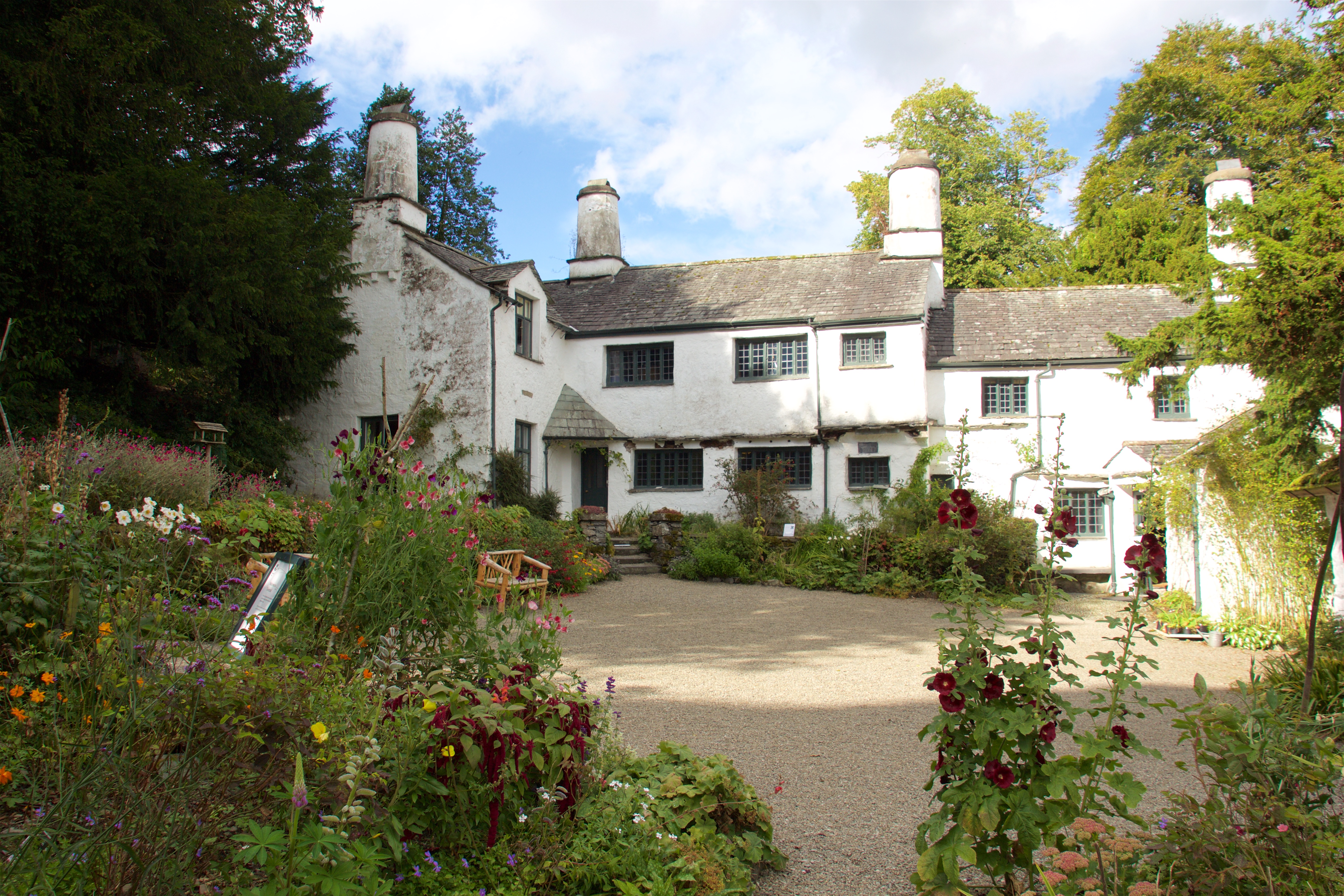
Townend
Townend is a 17th-century house located in Troutbeck, in the civil parish of Lakes, near Windermere, Cumbria, England, and in the ownership of the National...

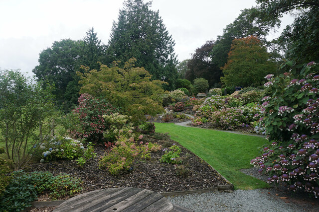
Stagshaw Garden
Stagshaw Garden is a woodland garden situated south of Ambleside, in Cumbria, England, and in the ownership of the National Trust.The garden is noted for...
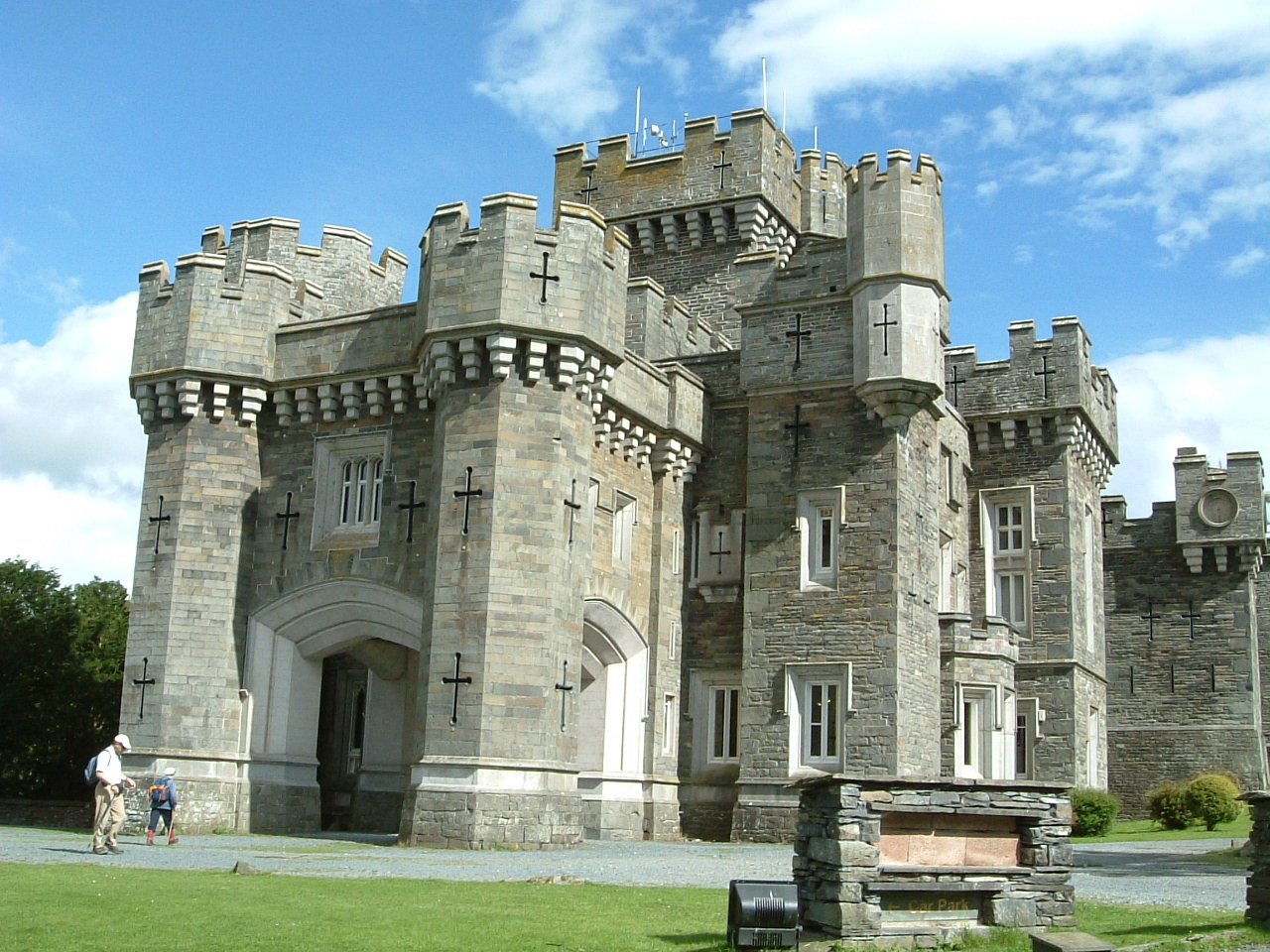
Wray Castle
Wray Castle is a Victorian neo-gothic building at Claife in Cumbria within the boundaries of the historic county of Lancashire. The house and grounds have...

RMS Wray Castle
RMS Wray Castle was a training college for Merchant Navy radio officers based at Wray Castle in the Lake District, from 1958 to 1998.At 11:40 p.m., on...
Related Videos

Limefitt Holiday Park, Lake District
Join us for an exclusive look around our beautiful Limefitt Holiday Park in the Lake District. This park truley encapsulates the very ...
TOUR AND REVIEW OF LATTERBARROW LODGE | LIMEFITT HOLIDAY PARK TROUTBECK | LAKE DISTRICT |The NUGENTs
Hello everyone!We are The NUGENTs! In this video we'll show you our holiday lodge in Troutbeck,Lake District. It's called ...
Wansfell #49
A walk up Wansfell and Wansfell Pike from Troutbeck https://jimearl6.com/a-walk-up-wansfell-and-wansfell-pike/#more-6950 A ...

Solo Hiking Wansfell Pike And Baystones From Ambleside
Parking at Rydal Road car park in Ambleside, I walk the 1½ miles from behind the Salutation Hotel and follow the very quiet Stock ...
Nearby Amenities
Located within 500m of 54.406471,-2.9379838Have you been to Cockshot Wood?
Leave your review of Cockshot Wood below (or comments, questions and feedback).