Mason's Stream
Lake, Pool, Pond, Freshwater Marsh in Dumfriesshire
Scotland
Mason's Stream
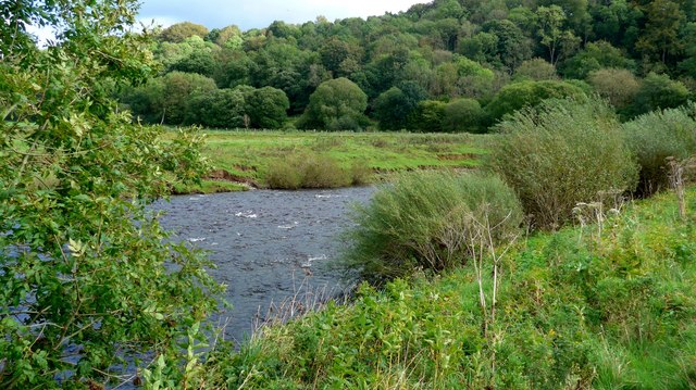
Mason's Stream is a picturesque freshwater marsh located in Dumfriesshire, Scotland. Situated amidst the rolling hills and lush greenery, it is a hidden gem for nature enthusiasts and those seeking tranquility. Spanning over an area of approximately 10 acres, the marsh is a vibrant ecosystem, teeming with diverse flora and fauna.
The stream itself is a narrow watercourse that meanders through the marsh, creating a serene and calming atmosphere. Fed by underground springs, the water is crystal clear and supports a wide variety of aquatic life. The stream is surrounded by dense vegetation, including reeds, cattails, and water lilies, which provide habitat and food for numerous species of birds, insects, and amphibians.
Mason's Stream is also home to several species of fish, such as trout and perch, making it a popular spot for fishing enthusiasts. The marsh offers ample opportunity for birdwatching, with frequent sightings of herons, ducks, and swans. The tranquil surroundings make it an ideal place for nature walks and photography, with the changing seasons adding a touch of magic to the landscape.
Visitors to Mason's Stream can also enjoy the peacefulness of the area by picnicking on the grassy banks or simply sitting and taking in the natural beauty. The marsh is easily accessible and is well-maintained, with designated paths and seating areas provided for visitors.
In conclusion, Mason's Stream in Dumfriesshire is a stunning freshwater marsh that offers a haven of tranquility and natural beauty. With its diverse ecosystem and serene surroundings, it is a must-visit destination for anyone seeking solace in nature.
If you have any feedback on the listing, please let us know in the comments section below.
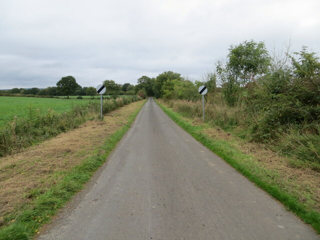
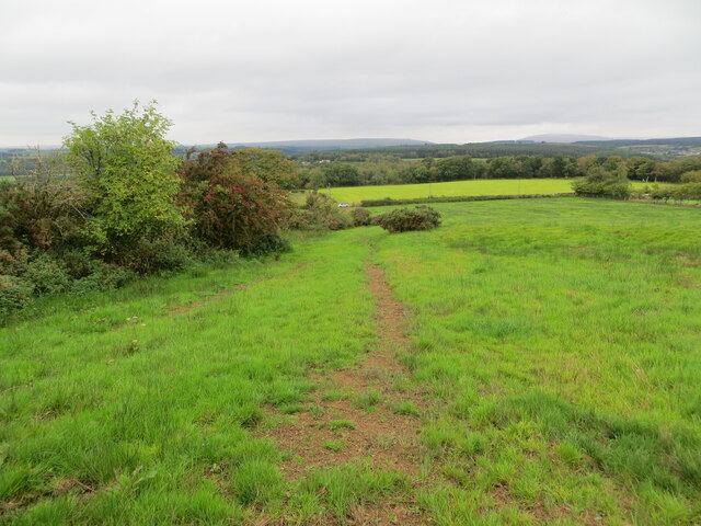
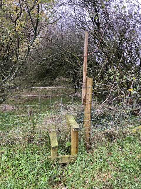
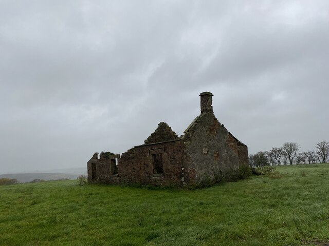
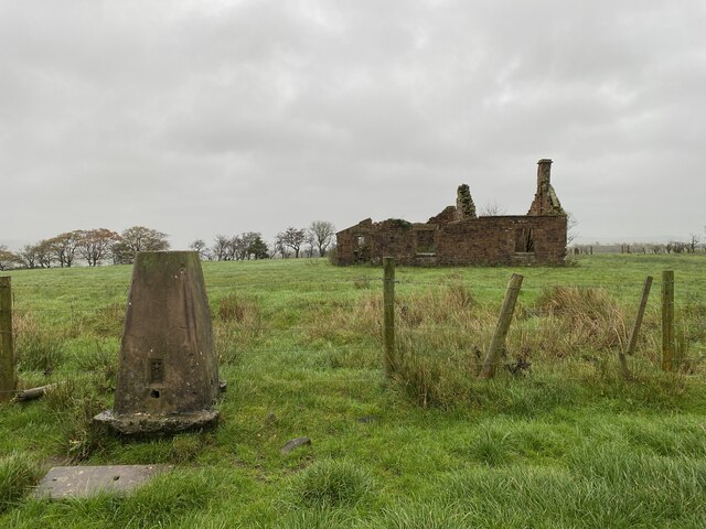
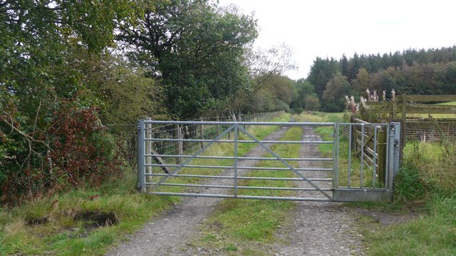
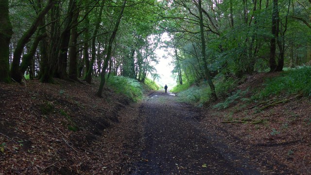
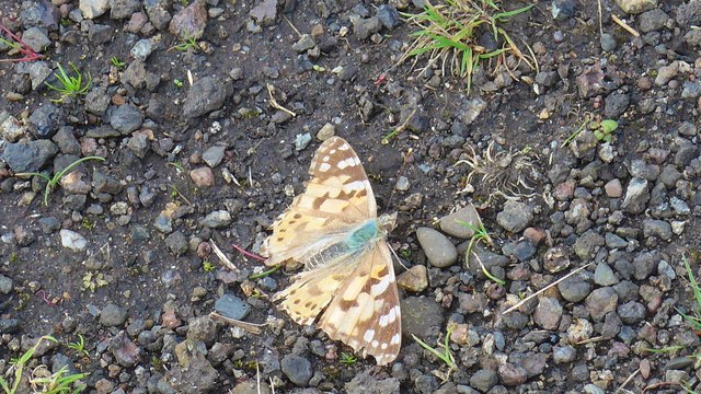
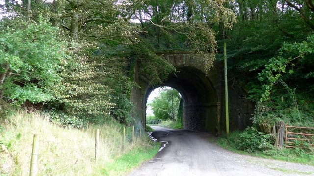
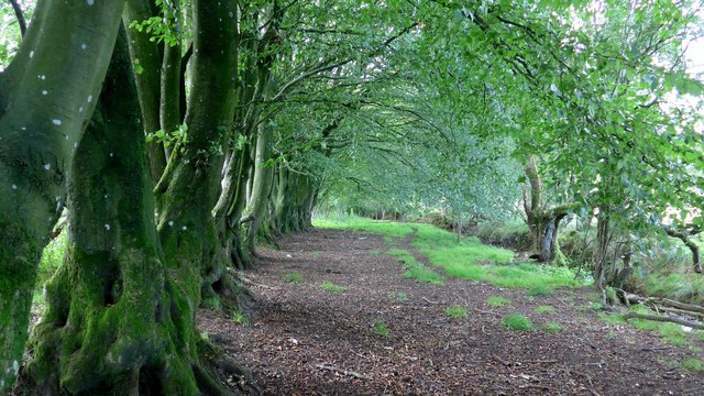
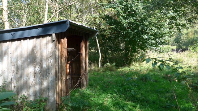
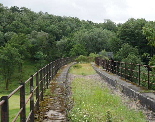
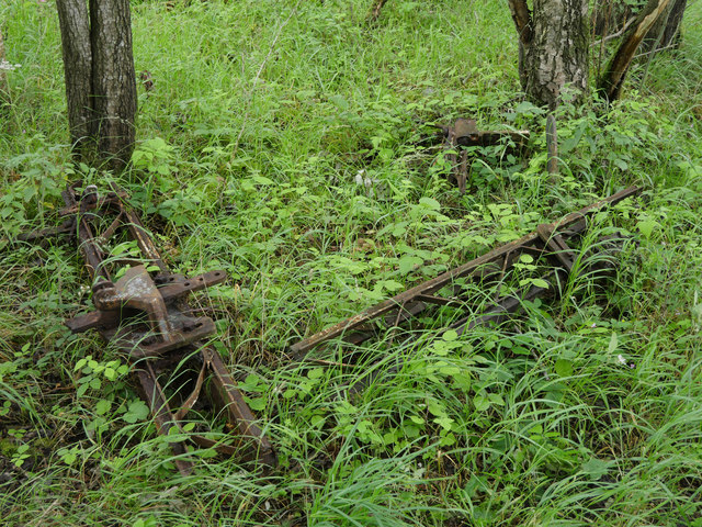
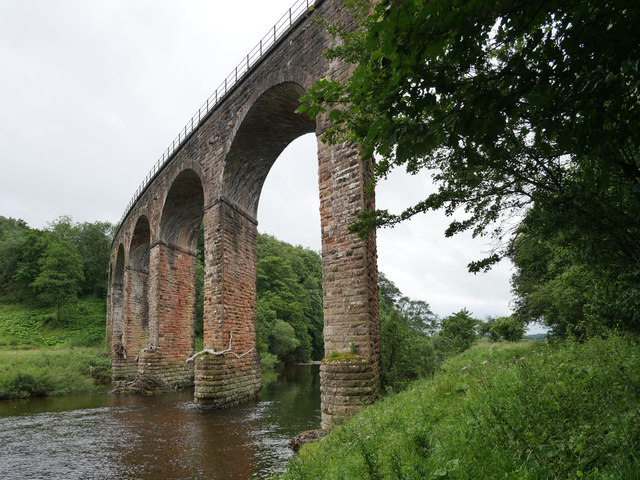
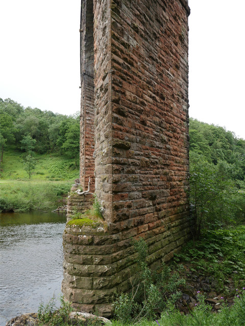
Mason's Stream Images
Images are sourced within 2km of 55.071889/-2.9452522 or Grid Reference NY3975. Thanks to Geograph Open Source API. All images are credited.
Mason's Stream is located at Grid Ref: NY3975 (Lat: 55.071889, Lng: -2.9452522)
Unitary Authority: Dumfries and Galloway
Police Authority: Dumfries and Galloway
What 3 Words
///ambitions.cooking.terms. Near Longtown, Cumbria
Nearby Locations
Related Wikis

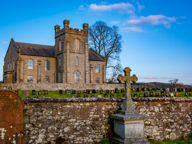
Canonbie
Canonbie (Scottish Gaelic: Canonbaidh) is a small village in Dumfriesshire within the local authority area of Dumfries and Galloway in Scotland, 6 miles...
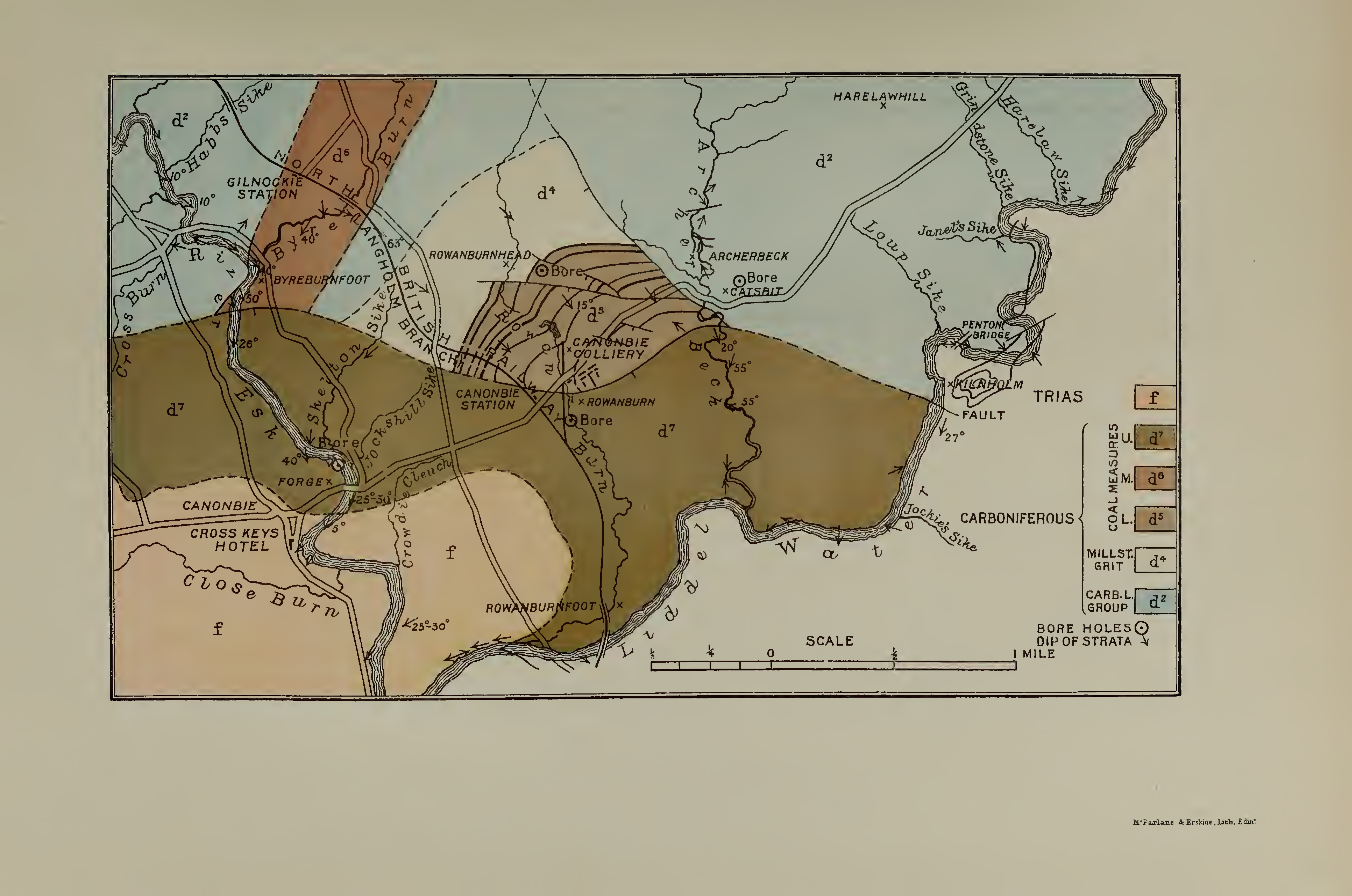
Canonbie Coalfield
The Canonbie Coalfield is a small and largely concealed coalfield at Canonbie in the south of Scotland. A comprehensive survey by Peach and Horne was published...
Riddings Junction railway station
Riddings Junction railway station was a railway station in Cumbria, England, from 1862 to 1967 on the Border Union Railway. == History == The station opened...
Liddel Strength
Liddel Strength is an ancient monument near Carwinley, Cumbria, in northwest England. It consists of the earthwork remains of an Anglo-Norman border fortification...
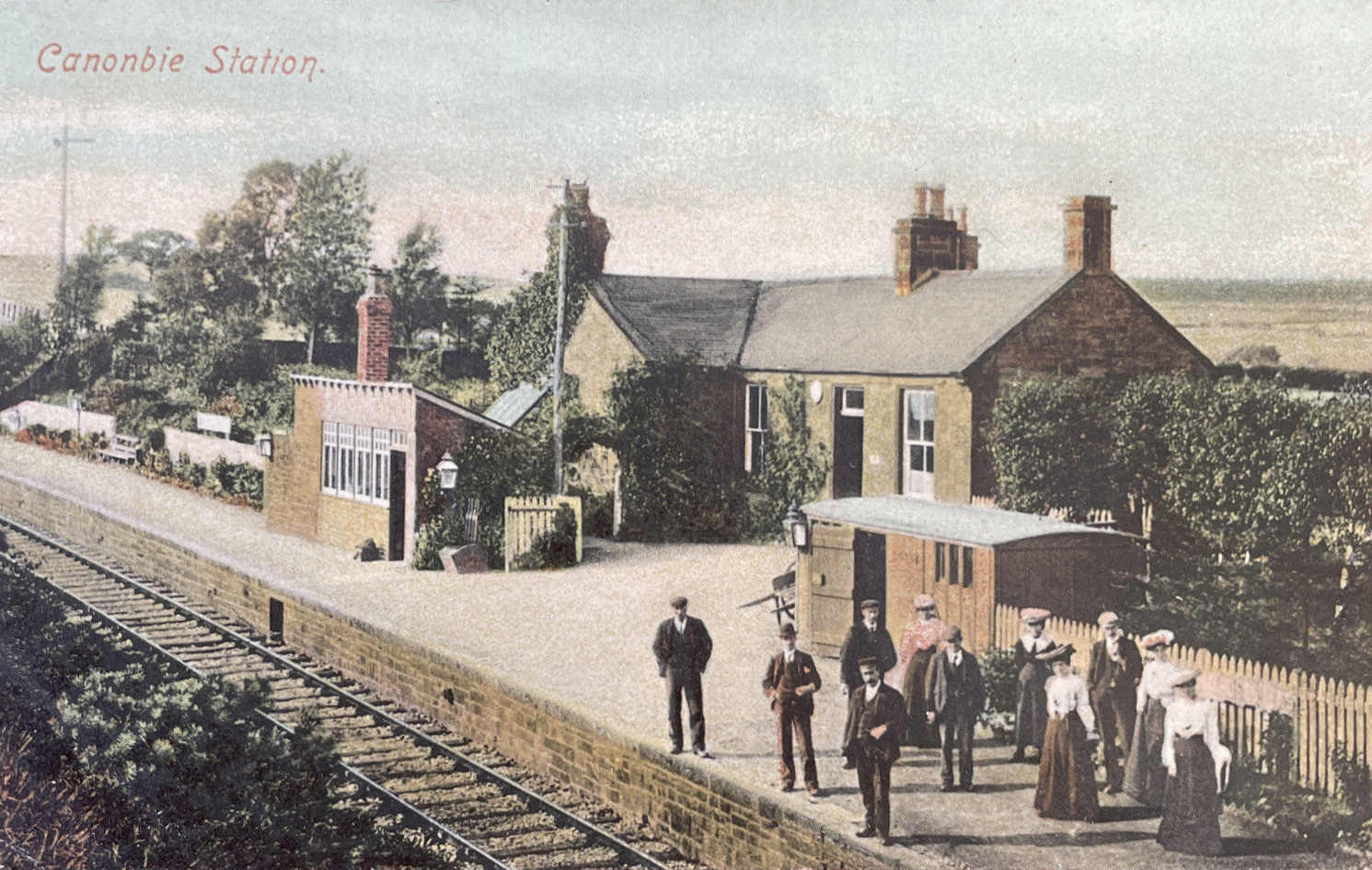
Canonbie railway station
Canonbie railway station served the village of Canonbie, Dumfries and Galloway, Scotland from 1862 to 1967 on the Border Union Railway. == History == The...
Rowanburn
Rowanburn is a hamlet in Eskdale, Dumfries and Galloway, Scotland. Located near Canonbie, it sits around 5 miles south-east of Langholm and about a mile...

Liddel Water
Liddel Water is a river running through southern Scotland and northern England, for much of its course forming the border between the two countries, and...

Fairy Loup
Fairy Loup is a waterfall located on Byre Burn, a tributary of River Esk, in Dumfries and Galloway, Scotland.The waterfall's name originates in a local...
Nearby Amenities
Located within 500m of 55.071889,-2.9452522Have you been to Mason's Stream?
Leave your review of Mason's Stream below (or comments, questions and feedback).