Holehouse Dub
Lake, Pool, Pond, Freshwater Marsh in Dumfriesshire
Scotland
Holehouse Dub
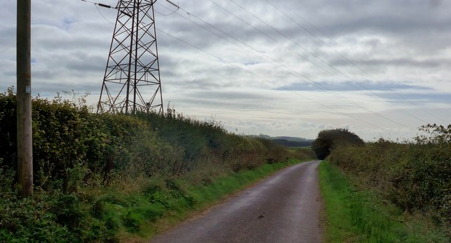
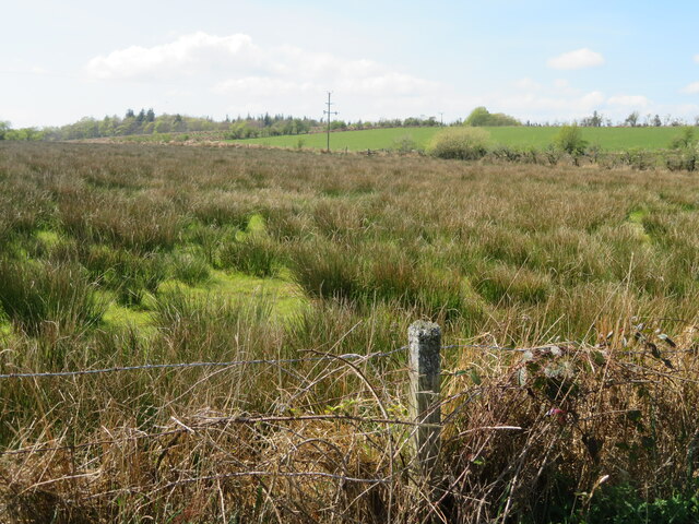
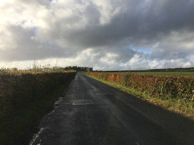
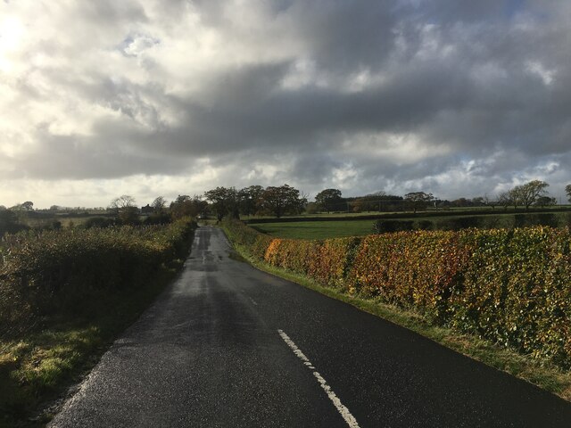
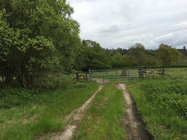
Holehouse Dub is a picturesque freshwater marsh located in Dumfriesshire, Scotland. It is a natural water body that encompasses a combination of features, including a lake, pool, pond, and marsh, making it a diverse and unique ecosystem.
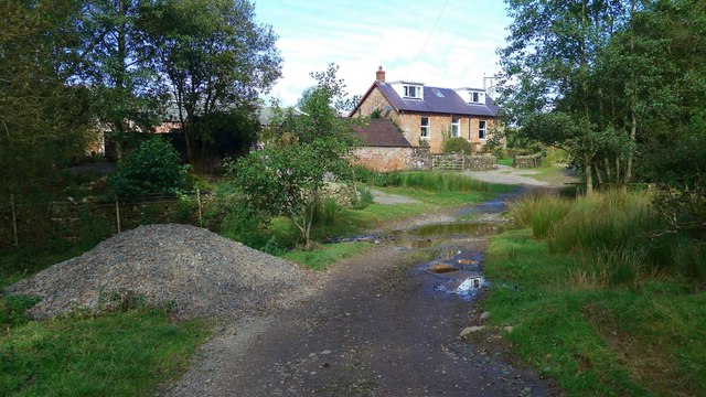
Situated amidst rolling hills and lush greenery, Holehouse Dub covers an area of approximately 10 acres. The lake, with its calm, glassy surface, dominates the landscape, offering a stunning reflection of the surrounding scenery. It provides a habitat for a variety of aquatic plants and supports a diverse range of wildlife.
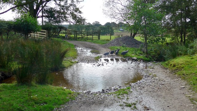
The pool and pond, which are smaller bodies of water within the marsh, add to the overall charm of Holehouse Dub. The pool is characterized by its shallow depth and is teeming with various species of fish, making it a popular spot for anglers. The pond, on the other hand, is slightly deeper and attracts a wide array of waterfowl, including ducks and geese, which can be observed gracefully gliding across the water.
The freshwater marsh, with its extensive vegetation and wetland plants, serves as a refuge for numerous species of birds, amphibians, and insects. It is a vital breeding ground for several bird species, including reed warblers and water rails, which are known to nest within the reeds and tall grasses that border the marsh.
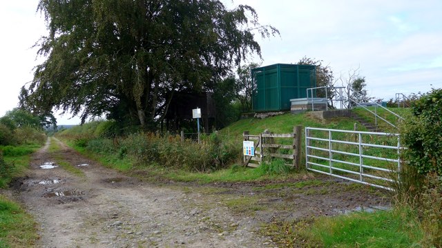
Holehouse Dub offers a tranquil escape for nature enthusiasts, providing opportunities for birdwatching, fishing, and leisurely walks along its banks. Its diverse range of water features and abundant wildlife make it a truly remarkable destination for those seeking to immerse themselves in the beauty of Scotland's natural landscapes.
If you have any feedback on the listing, please let us know in the comments section below.
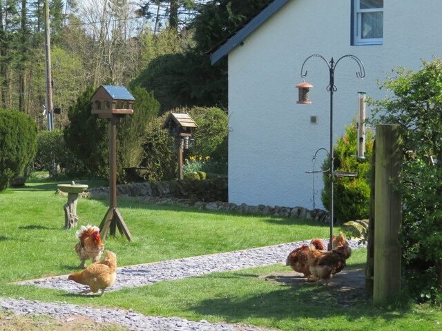
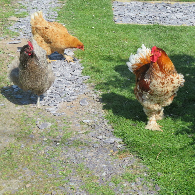
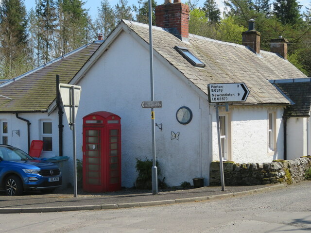
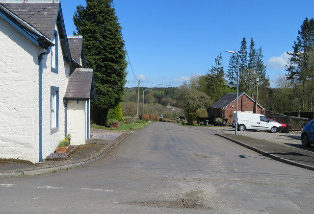
Holehouse Dub Images
Images are sourced within 2km of 55.089377/-2.9589982 or Grid Reference NY3877. Thanks to Geograph Open Source API. All images are credited.

Holehouse Dub is located at Grid Ref: NY3877 (Lat: 55.089377, Lng: -2.9589982)
Unitary Authority: Dumfries and Galloway
Police Authority: Dumfries and Galloway
What 3 Words
///listening.mailers.overused. Near Langholm, Dumfries & Galloway
Nearby Locations
Related Wikis

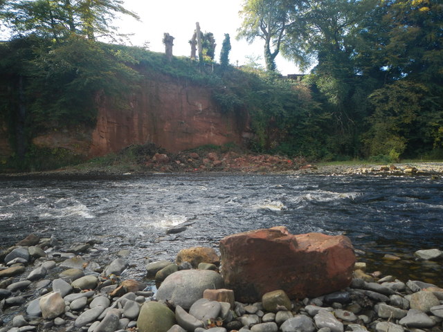
Fairy Loup
Fairy Loup is a waterfall located on Byre Burn, a tributary of River Esk, in Dumfries and Galloway, Scotland.The waterfall's name originates in a local...

Gilnockie railway station
Gilnockie railway station served the hamlet of Hollows, Dumfries and Galloway, Scotland from 1864 to 1967 on the Border Union Railway. == History == The...
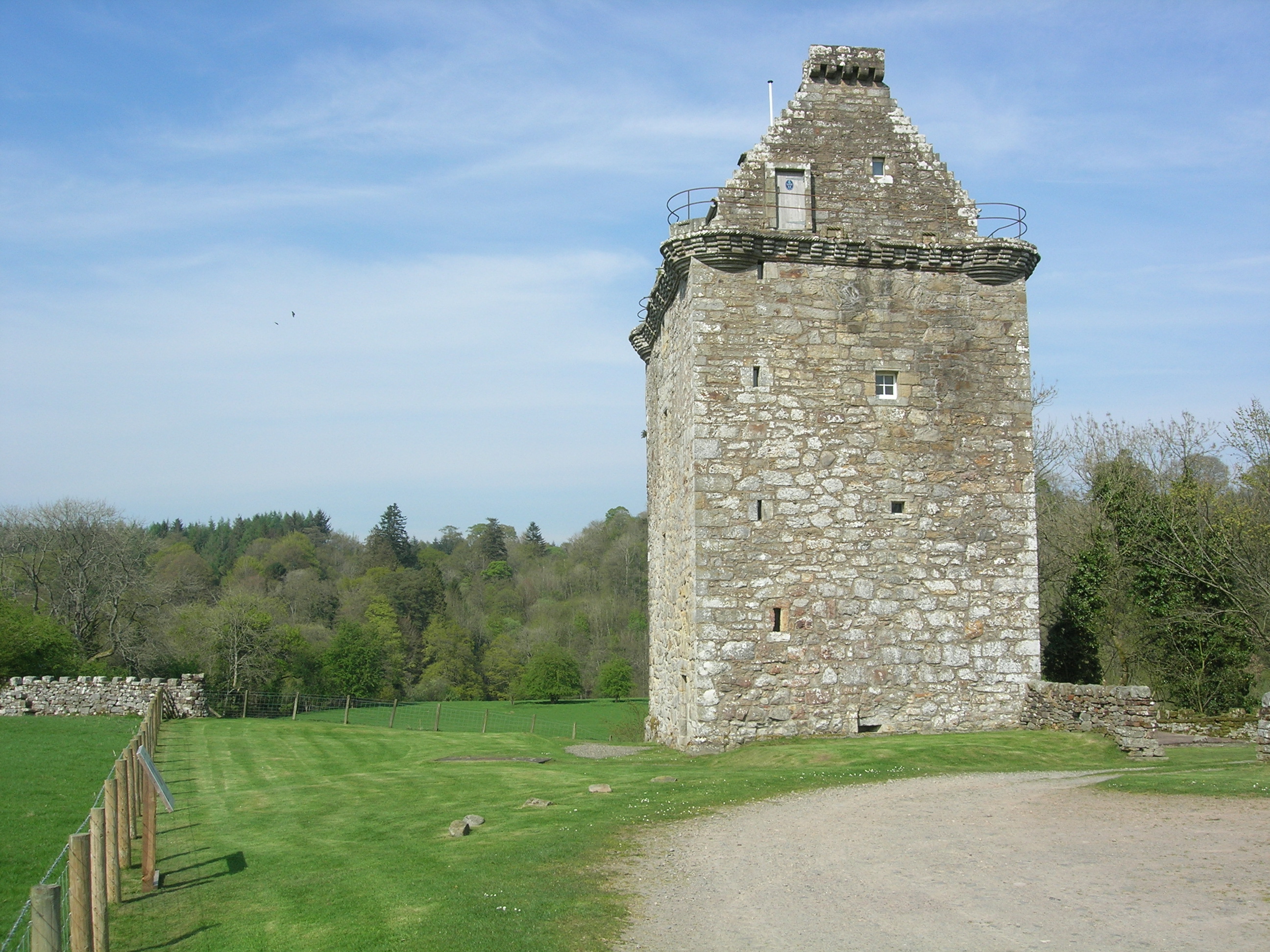
Gilnockie Tower
Gilnockie Tower is a 16th-century tower house, located at the hamlet of Hollows, 2.3 km north of Canonbie, in Dumfriesshire, south-west Scotland. The tower...
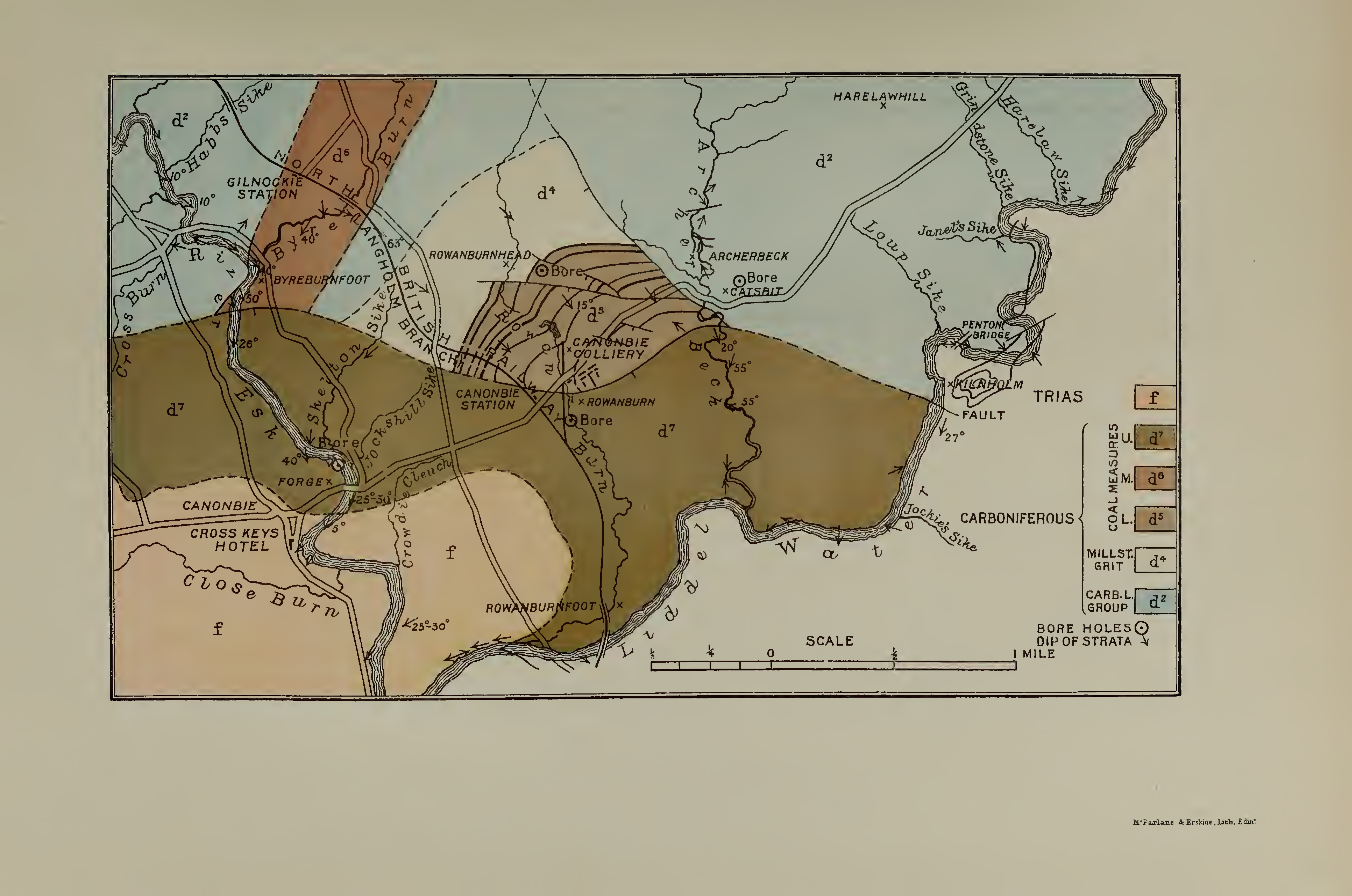
Canonbie Coalfield
The Canonbie Coalfield is a small and largely concealed coalfield at Canonbie in the south of Scotland. A comprehensive survey by Peach and Horne was published...
Canonbie
Canonbie (Scottish Gaelic: Canonbaidh) is a small village in Dumfriesshire within the local authority area of Dumfries and Galloway in Scotland, 6 miles...
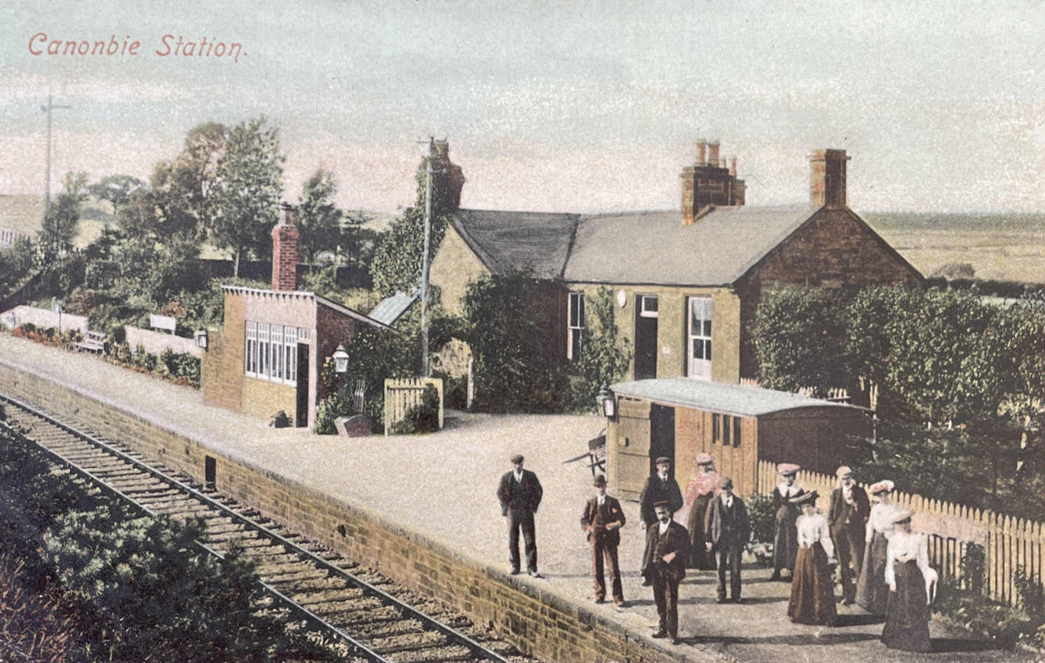
Canonbie railway station
Canonbie railway station served the village of Canonbie, Dumfries and Galloway, Scotland from 1862 to 1967 on the Border Union Railway. == History == The...
Glencartholm
Glencartholm is a location in Dumfries and Galloway, southern Scotland, along the River Esk.The Glencartholm Volcanic Beds contain a Palaeozoic (specifically...
Rowanburn
Rowanburn is a hamlet in Eskdale, Dumfries and Galloway, Scotland. Located near Canonbie, it sits around 5 miles south-east of Langholm and about a mile...
Nearby Amenities
Located within 500m of 55.089377,-2.9589982Have you been to Holehouse Dub?
Leave your review of Holehouse Dub below (or comments, questions and feedback).