Tommy's Pool
Lake, Pool, Pond, Freshwater Marsh in Dumfriesshire
Scotland
Tommy's Pool
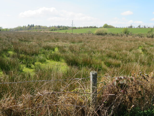
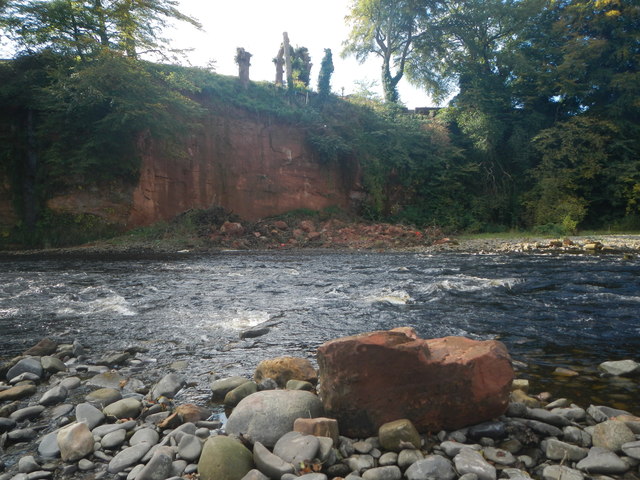
Tommy's Pool is a picturesque freshwater feature located in the scenic region of Dumfriesshire, Scotland. Spanning over an area of approximately 10 acres, this natural body of water is often referred to as a pool, lake, pond, or freshwater marsh due to its diverse characteristics.
Surrounded by lush greenery and rolling hills, Tommy's Pool offers a peaceful and tranquil atmosphere for visitors seeking respite from the bustling city life. The pool is fed by natural springs and rainwater, ensuring a constant flow of clean freshwater throughout the year.
The pool's shallow edges gradually deepen towards the center, making it an ideal habitat for various aquatic species. Local flora and fauna thrive in and around Tommy's Pool, creating a vibrant ecosystem. Common aquatic plants such as water lilies and reeds dot the water's surface, providing shelter and food for a variety of wildlife.
Birdwatchers will be delighted by the numerous avian species that call Tommy's Pool home. Ducks, swans, herons, and kingfishers are frequently spotted, making it a haven for bird enthusiasts. Anglers also frequent the pool, hoping to catch trout or perch that inhabit its depths.
Visitors to Tommy's Pool can enjoy leisurely walks along its banks, taking in the breathtaking scenery and listening to the soothing sounds of nature. The pool is easily accessible, with nearby parking and well-maintained footpaths. Whether one seeks solitude, wildlife spotting, or a peaceful picnic spot, Tommy's Pool offers a serene natural retreat in Dumfriesshire.
If you have any feedback on the listing, please let us know in the comments section below.
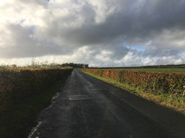
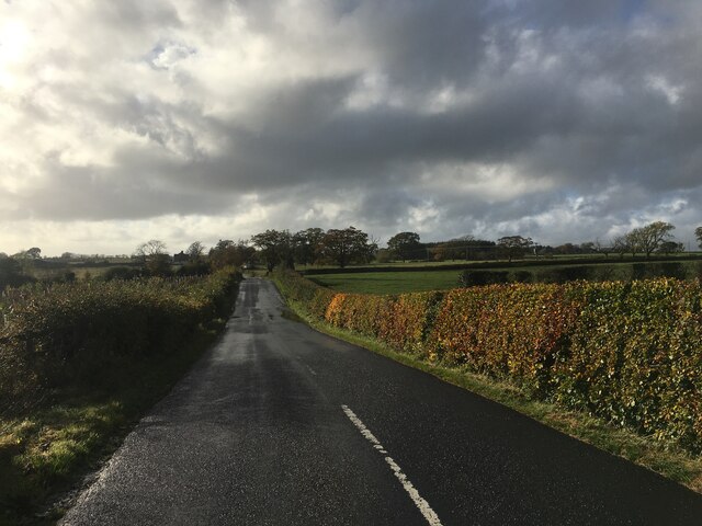
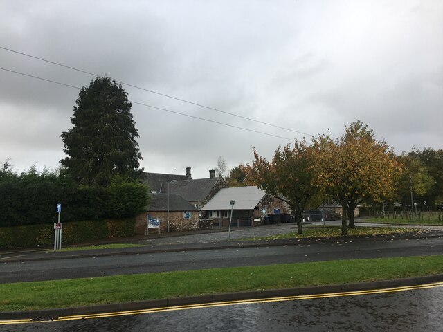
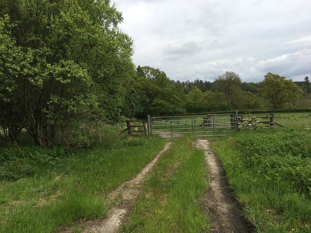
Tommy's Pool Images
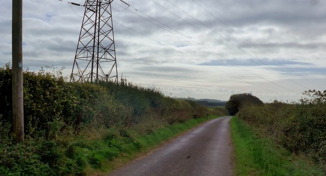
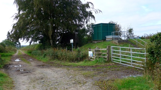
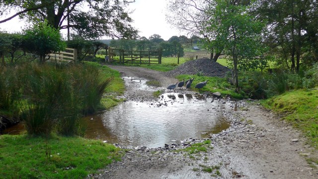
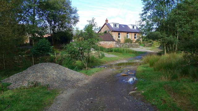
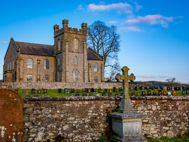
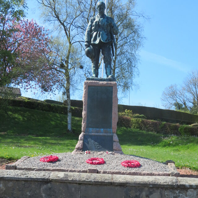
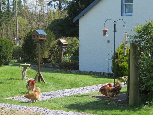
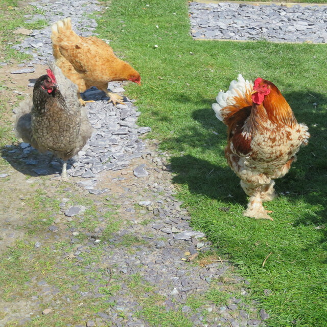
Images are sourced within 2km of 55.087067/-2.9590212 or Grid Reference NY3877. Thanks to Geograph Open Source API. All images are credited.

Tommy's Pool is located at Grid Ref: NY3877 (Lat: 55.087067, Lng: -2.9590212)
Unitary Authority: Dumfries and Galloway
Police Authority: Dumfries and Galloway
What 3 Words
///flop.gobbles.abandons. Near Langholm, Dumfries & Galloway
Nearby Locations
Related Wikis
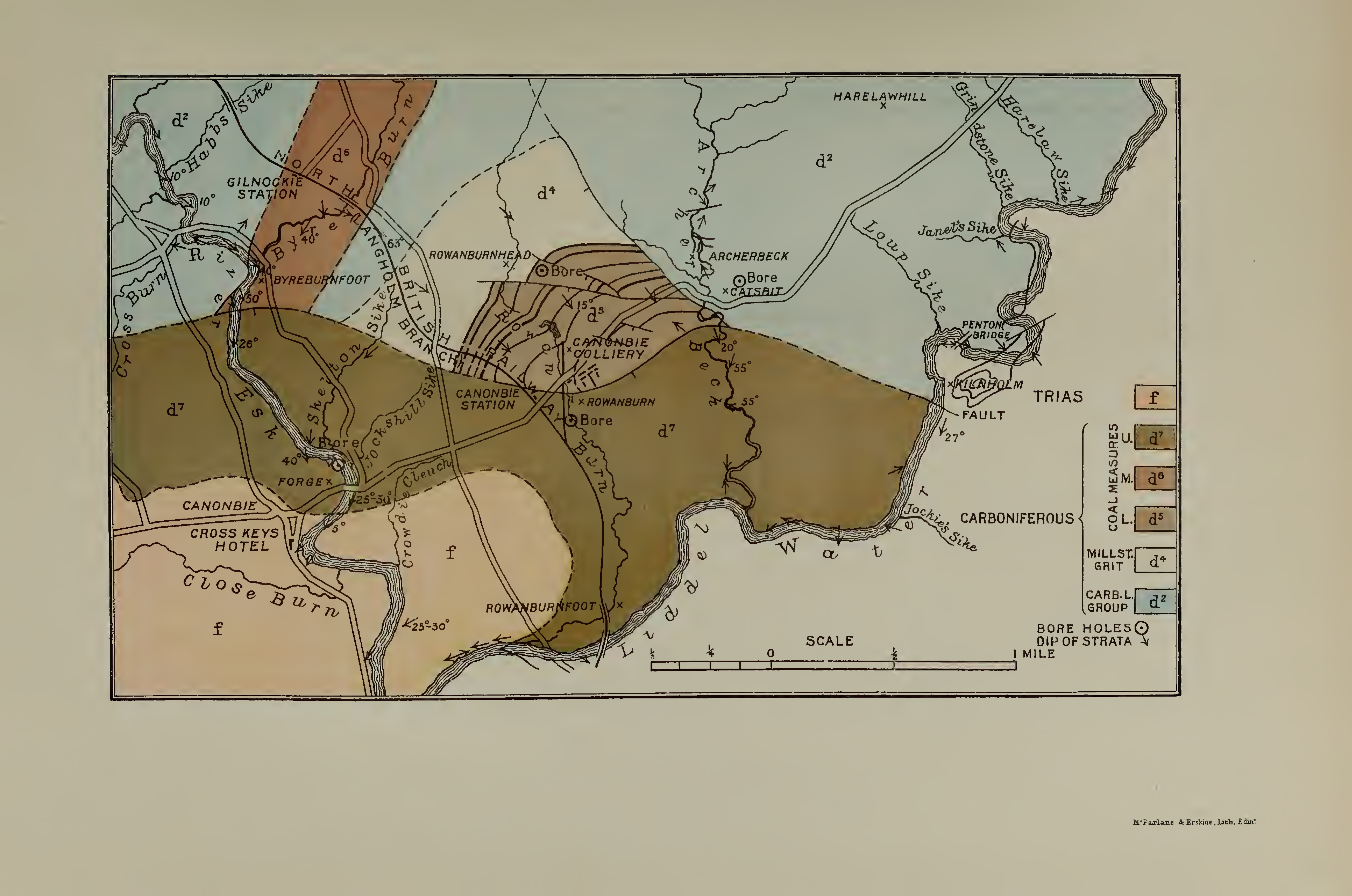
Canonbie Coalfield
The Canonbie Coalfield is a small and largely concealed coalfield at Canonbie in the south of Scotland. A comprehensive survey by Peach and Horne was published...

Fairy Loup
Fairy Loup is a waterfall located on Byre Burn, a tributary of River Esk, in Dumfries and Galloway, Scotland.The waterfall's name originates in a local...

Canonbie
Canonbie (Scottish Gaelic: Canonbaidh) is a small village in Dumfriesshire within the local authority area of Dumfries and Galloway in Scotland, 6 miles...
Gilnockie railway station
Gilnockie railway station served the hamlet of Hollows, Dumfries and Galloway, Scotland from 1864 to 1967 on the Border Union Railway. == History == The...
Nearby Amenities
Located within 500m of 55.087067,-2.9590212Have you been to Tommy's Pool?
Leave your review of Tommy's Pool below (or comments, questions and feedback).