Birkie Throat

Lake, Pool, Pond, Freshwater Marsh in Selkirkshire

Scotland

Birkie Throat

View towards Walkerburn and the River Tweed Line of the disused railway line can clearly be seen between the field and river.
View towards Walkerburn and the River Tweed Credit: Les Hull

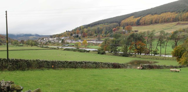
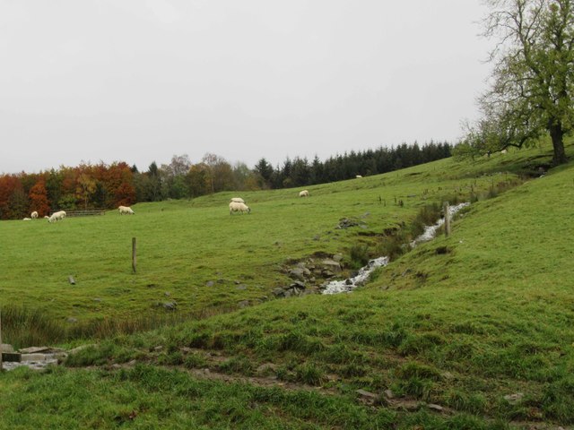
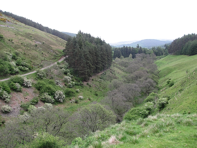
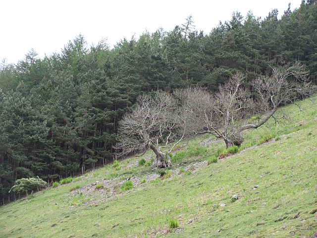
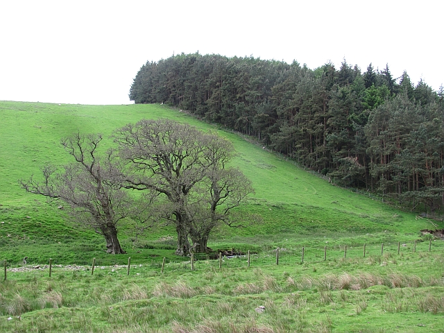
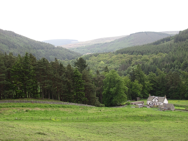
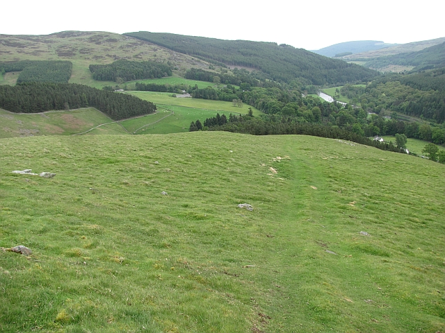
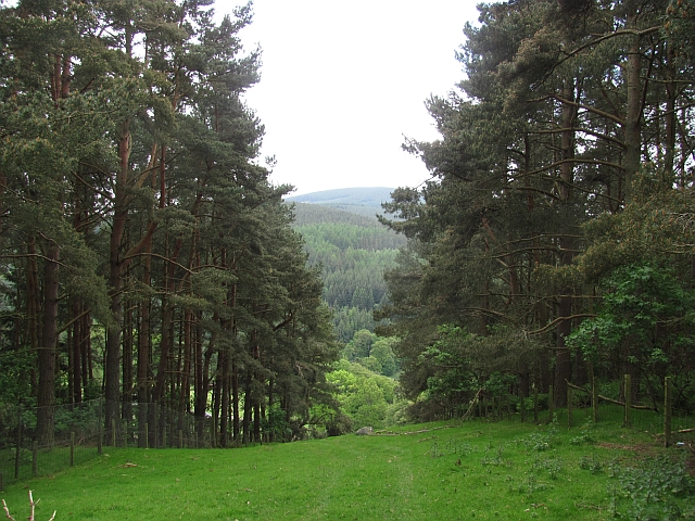
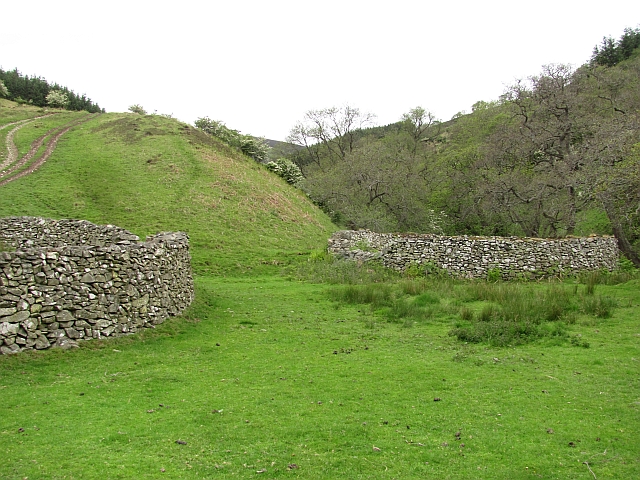
Birkie Throat is a picturesque freshwater marsh located in Selkirkshire, a historic county in Scotland. Nestled amidst lush greenery, this wetland ecosystem is a haven for a variety of aquatic plants, animals, and birds.

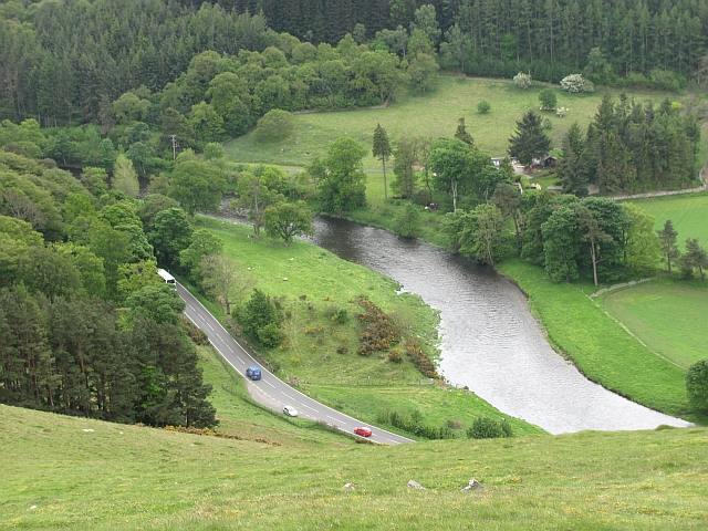
The focal point of Birkie Throat is its beautiful lake, which spans a considerable area and boasts crystal-clear waters. The lake is surrounded by dense vegetation, including reeds, rushes, and water lilies, providing a habitat for numerous species. The calm and serene nature of the lake makes it an ideal spot for fishing enthusiasts, who can try their luck at catching trout, pike, and perch.

Adjacent to the lake, there is a smaller pool that is rich in biodiversity. This pool is characterized by its shallow depth and is home to amphibians such as frogs and newts. It also serves as a breeding ground for various species of insects and provides a feeding ground for water birds.

In addition to the lake and pool, Birkie Throat features a charming pond, which is surrounded by a mixture of open water and emergent vegetation. This pond serves as a watering hole for several bird species, including ducks, herons, and swans. It also attracts dragonflies and damselflies, adding to the vibrant ecosystem of the wetland.

Overall, Birkie Throat in Selkirkshire is a captivating blend of lake, pool, pond, and freshwater marsh, offering a diverse range of habitats for numerous flora and fauna. Visitors to this natural wonderland can enjoy the tranquility of the surroundings, observe a variety of birdlife, and appreciate the beauty of the lush wetland ecosystem.

If you have any feedback on the listing, please let us know in the comments section below.

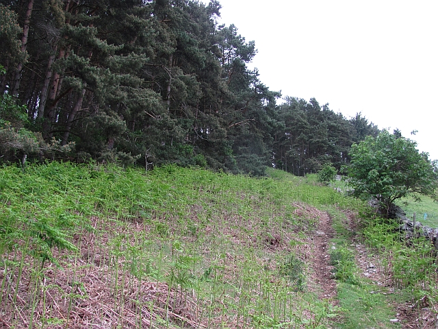
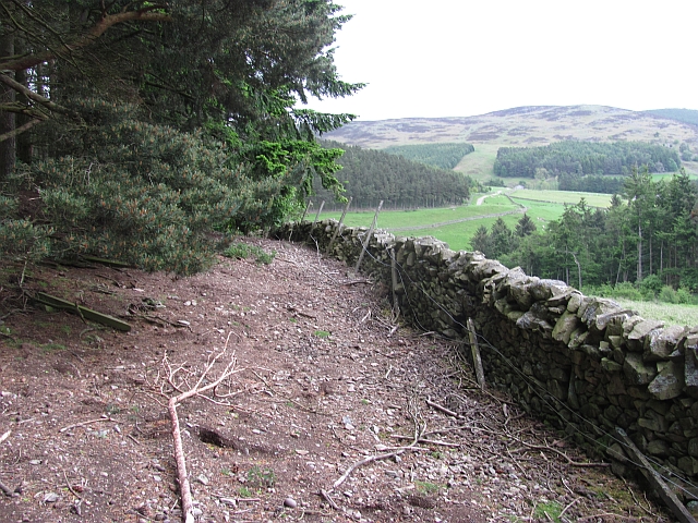
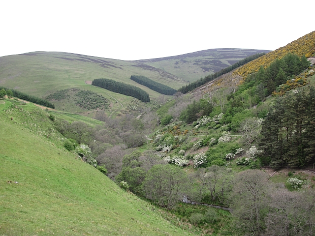
Birkie Throat Images

Images are sourced within 2km of 55.626551/-2.972092 or Grid Reference NT3837. Thanks to Geograph Open Source API. All images are credited.

View towards Walkerburn and the River Tweed Line of the disused railway line can clearly be seen between the field and river.
View towards Walkerburn and the River Tweed
Line of the disused railway line can clearly be seen between the field and river.
Wood End Cottage
Wood End Cottage
Land Rover Hospital? Land Rover repairs and garage.
Land Rover Hospital?
Land Rover repairs and garage.
Juniper Bank
Juniper Bank
Juniperbank Burn
Juniperbank Burn
Quad bike track, Gatehopeknowe It runs up Pyat Hill and is a very useful way on to the hill or to Gate Hope avoiding the houses.
Quad bike track, Gatehopeknowe
It runs up Pyat Hill and is a very useful way on to the hill or to Gate Hope avoiding the houses.
Woodland edge, Gatehopeknowe A useful way into Gate Hope, but watch the rabbit holes. This is death to ankles. There must be some well fed buzzards hereabouts.
Woodland edge, Gatehopeknowe
A useful way into Gate Hope, but watch the rabbit holes. This is death to ankles. There must be some well fed buzzards hereabouts.
Gate Hope A very beautiful glen, north of the Tweed.  I spend a lot of time on Windlestraw Law and this has to be the best way up I have yet found.
Gate Hope
A very beautiful glen, north of the Tweed. I spend a lot of time on Windlestraw Law and this has to be the best way up I have yet found.
Gate Hope A well wooded, hidden glen north of the Tweed. A grassy track runs up the west side and the main estate and house access road runs up the eastern side.
Gate Hope
A well wooded, hidden glen north of the Tweed. A grassy track runs up the west side and the main estate and house access road runs up the eastern side.
Kill Brae It would be a Killer Brae if you tried to run up it. Ashes on a steep scree slope on the east side of Gate Hope.
Hope is word in common usage along both of England's borders and in Northwest England. Usually it means a steep sided and often blind valley.
Kill Brae
It would be a Killer Brae if you tried to run up it. Ashes on a steep scree slope on the east side of Gate Hope. Hope is word in common usage along both of England's borders and in Northwest England. Usually it means a steep sided and often blind valley.
Trees, Gatehopeknowe Burn Look like the same trees as here: <a href="https://www.geograph.org.uk/photo/162214">NT3738 : Trees, Gatehopeknowe Burn</a>
Summer is here, but alders are late coming to leaf.  Gate Hope has some extensive alder woods along the burn.
Trees, Gatehopeknowe Burn
Look like the same trees as here: NT3738 : Trees, Gatehopeknowe Burn Summer is here, but alders are late coming to leaf. Gate Hope has some extensive alder woods along the burn.
Gatehopeknowe View down a well wooded stretch of Tweeddale past Gatehopeknowe.
Gatehopeknowe
View down a well wooded stretch of Tweeddale past Gatehopeknowe.
Track, Gate Hope A grassy track runs up the western side of Gate Hope. The main access to the glen is by a bigger, well surfaced road from Holylee on the eastern side.
Track, Gate Hope
A grassy track runs up the western side of Gate Hope. The main access to the glen is by a bigger, well surfaced road from Holylee on the eastern side.
Back Burn A wooded section of Gate Hope where the Back Burn meets the Gatehopeburn.
Back Burn
A wooded section of Gate Hope where the Back Burn meets the Gatehopeburn.
Pyat Hill A quad bike track descends Pyat Hill. There is a very good view down Tweeddale from here.
Pyat Hill
A quad bike track descends Pyat Hill. There is a very good view down Tweeddale from here.
River Tweed Looking down on the Tweed and A72 from Pyat Hill.
River Tweed
Looking down on the Tweed and A72 from Pyat Hill.
Gap in woodland A quad bike track to release pens and Pyat Hill passes up this gap between two conifer blocks.
Gap in woodland
A quad bike track to release pens and Pyat Hill passes up this gap between two conifer blocks.
Stells, Gate Hope Two circular sheep fanks at the foot of the Back Burn.
Stells, Gate Hope
Two circular sheep fanks at the foot of the Back Burn.
Show me another place!

Birkie Throat is located at Grid Ref: NT3837 (Lat: 55.626551, Lng: -2.972092)

Unitary Authority: The Scottish Borders

Police Authority: The Lothians and Scottish Borders

What 3 Words

///punt.consonant.pounces. Near Innerleithen, Scottish Borders

Related Wikis

Thornielee railway station

Thornielee railway station served the smallholding of Thornielee, Scottish Borders, Scotland from 1866 to 1950 on the Peebles Railway. == History == The...

Walkerburn railway station

Walkerburn railway station served the village of Walkerburn, Scottish Borders, Scotland from 1867 to 1962 on the Peebles Railway. == History == The station...

Walkerburn

Walkerburn (Scottish Gaelic: Allt an Fhùcadair) is a small village in the Scottish Borders area of Scotland, on the A72 about 8 miles (13 km) from Peebles...

The Kirna

The Kirna, known locally as Kirna House (previously also as Grangehill), is a Category A listed villa in Walkerburn, Peeblesshire, Scotland. It is one...

Nearby Amenities

Located within 500m of 55.626551,-2.972092
Bus Stop
Holylee
Bus: yes
Naptan AtcoCode: 69001246
Naptan Bearing: E
Naptan BusStopType: CUS
Naptan CommonName: Holylee
Naptan Indicator: o/s Lodge
Naptan Landmark: Holylee Lodge
Naptan NaptanCode: 72726764
Naptan Street: A72
Naptan Verified: no
Public Transport: platform
Source: naptan_import
Lat/Long: 55.6269392/-2.9695019
Bus Stop
Holylee Lodge
Bus: yes
Naptan AtcoCode: 69001247
Naptan Bearing: W
Naptan CommonName: Holylee Lodge
Naptan Indicator: opp
Naptan NaptanCode: 72726763
Naptan Street: A72
Operator: Scottish Borders Council
Public Transport: platform
Ref: 69001247
Source: NaPTAN
Lat/Long: 55.6268894/-2.9697886
Turning Circle
Lat/Long: 55.6241192/-2.9705197
Gatehopeknowe
Place: locality
Lat/Long: 55.6289985/-2.976933
Power: pole
Lat/Long: 55.62707/-2.9785666
Power: pole
Lat/Long: 55.6261695/-2.9708414
Power: pole
Lat/Long: 55.6254995/-2.9705579
Power: pole
Lat/Long: 55.624771/-2.9715479
Power: pole
Lat/Long: 55.6238/-2.9714189
Power: pole
Lat/Long: 55.6234046/-2.972449
Power: pole
Lat/Long: 55.6231466/-2.9731831
Material: wood
Power: pole
Lat/Long: 55.627642/-2.9781097
Power: pole
Lat/Long: 55.6260322/-2.9693184
Power: pole
Lat/Long: 55.6257742/-2.9677657
Power: pole
Lat/Long: 55.6255604/-2.9663929
Power: pole
Lat/Long: 55.6253395/-2.9650243
Power: pole
Lat/Long: 55.629554/-2.9669048
Power: pole
Lat/Long: 55.6291301/-2.9668857
Power: pole
Lat/Long: 55.6285843/-2.966854
Power: pole
Lat/Long: 55.6283275/-2.9668456
Power: pole
Lat/Long: 55.6278355/-2.9668159
Power: pole
Lat/Long: 55.6272993/-2.9668159
Material: wood
Power: pole
Lat/Long: 55.6270628/-2.967
Power: pole
Lat/Long: 55.6264836/-2.9673173
The data included in this document is from www.openstreetmap.org. The data is made available under ODbL.

Have you been to Birkie Throat?

Leave your review of Birkie Throat below (or comments, questions and feedback).