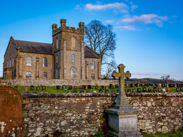
Chapel Pool
Lake, Pool, Pond, Freshwater Marsh in Dumfriesshire
Scotland
Chapel Pool
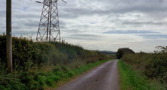
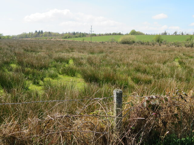
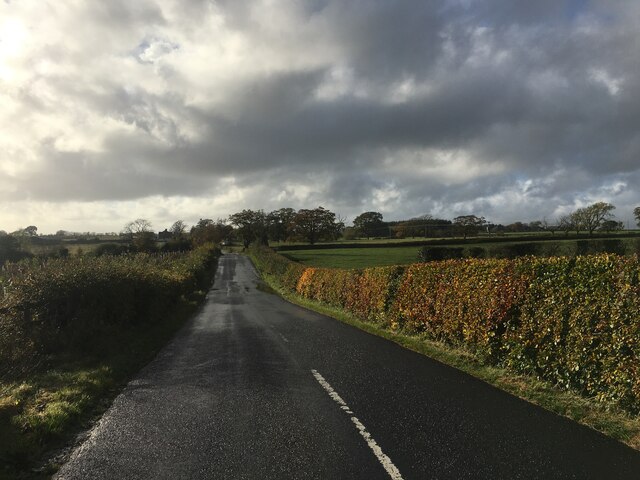
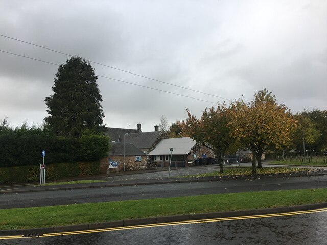
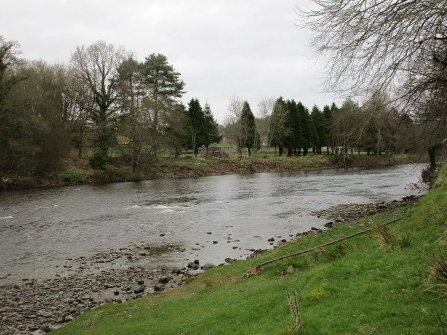
Chapel Pool, located in Dumfriesshire, Scotland, is a picturesque freshwater marsh that offers a serene and tranquil environment for its visitors. Nestled amidst the breathtaking landscapes of the region, this natural marvel attracts nature lovers, photographers, and those seeking a peaceful retreat.
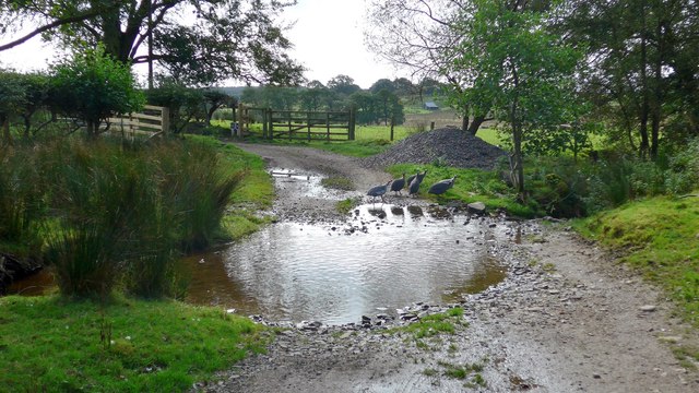
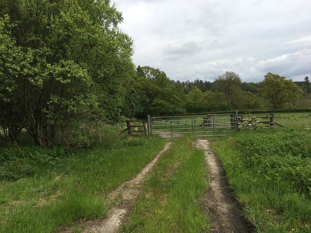
Spanning across a considerable area, Chapel Pool is known for its crystal-clear waters and diverse flora and fauna. The pool is a haven for various species of birds, making it a popular spot for birdwatching enthusiasts. The surrounding marshland is teeming with vibrant plant life, including reeds, water lilies, and other aquatic vegetation, providing a stunning backdrop to the pool's serene waters.
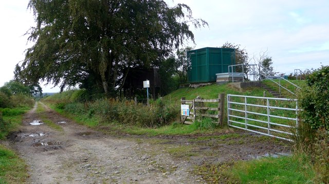
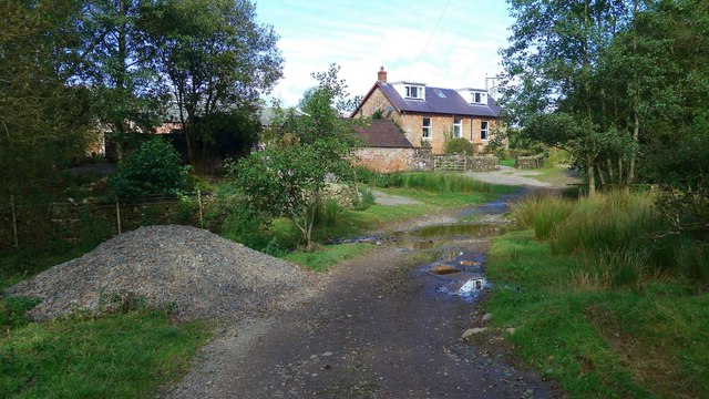
Visitors to Chapel Pool can enjoy a leisurely stroll along the water's edge, taking in the breathtaking views and immersing themselves in the tranquility of the surroundings. The pool's calm and shallow waters also make it an ideal spot for a refreshing swim during warmer months. Its peaceful ambiance and natural beauty make Chapel Pool a popular destination for picnics and family outings.
Moreover, the pool's location provides easy access to several walking trails and hiking routes, allowing visitors to explore the surrounding countryside and enjoy the breathtaking scenery Dumfriesshire has to offer. Whether one is interested in wildlife observation, outdoor activities, or simply seeking a peaceful escape from the hustle and bustle of daily life, Chapel Pool is an idyllic destination that promises a memorable experience for all.
If you have any feedback on the listing, please let us know in the comments section below.
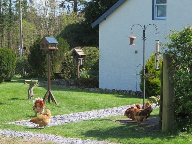
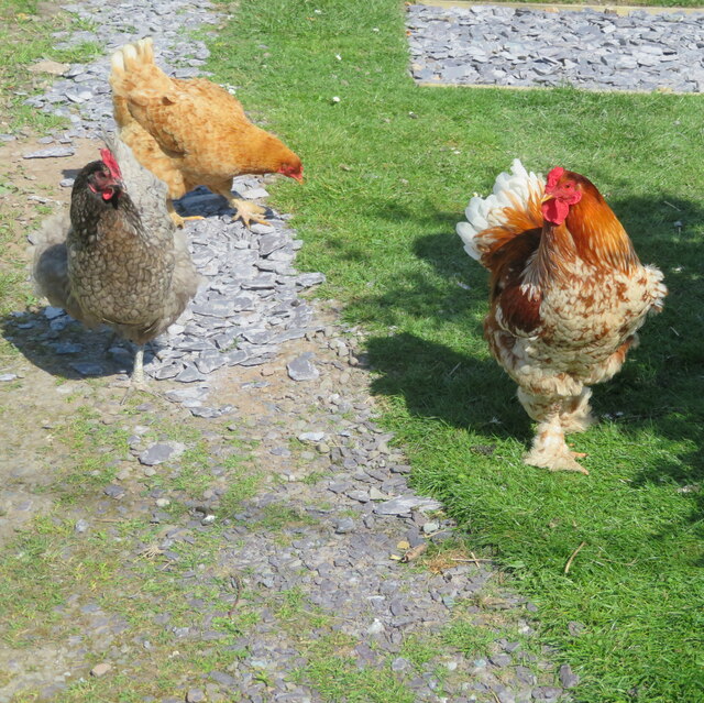
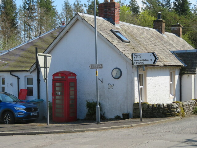
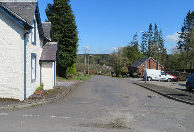
Chapel Pool Images
Images are sourced within 2km of 55.093375/-2.9590939 or Grid Reference NY3878. Thanks to Geograph Open Source API. All images are credited.
Chapel Pool is located at Grid Ref: NY3878 (Lat: 55.093375, Lng: -2.9590939)
Unitary Authority: Dumfries and Galloway
Police Authority: Dumfries and Galloway
What 3 Words
///exchanges.heartless.collapsed. Near Langholm, Dumfries & Galloway
Nearby Locations
Related Wikis

Gilnockie railway station
Gilnockie railway station served the hamlet of Hollows, Dumfries and Galloway, Scotland from 1864 to 1967 on the Border Union Railway. == History == The...

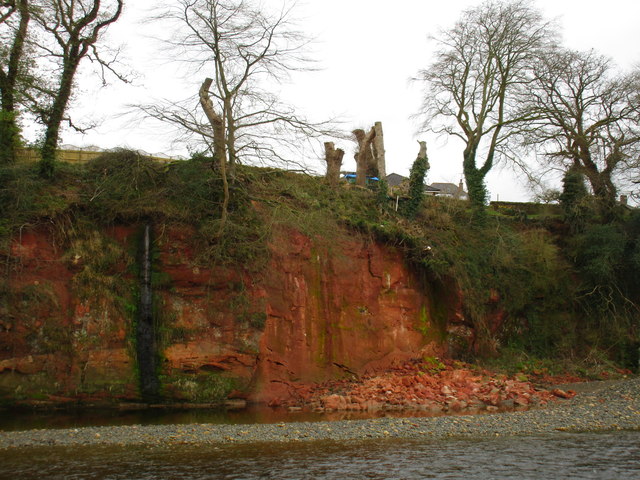
Fairy Loup
Fairy Loup is a waterfall located on Byre Burn, a tributary of River Esk, in Dumfries and Galloway, Scotland.The waterfall's name originates in a local...
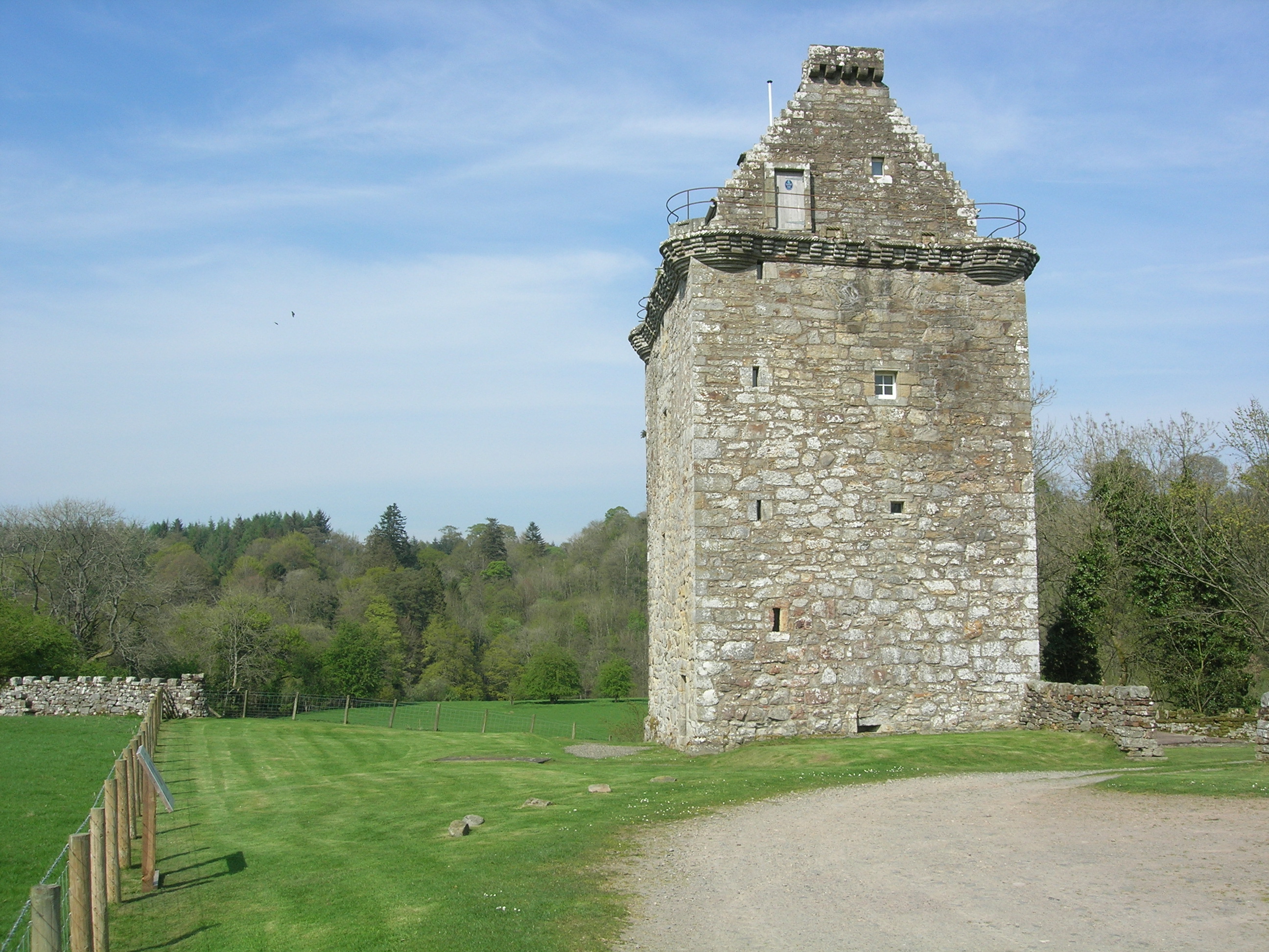
Gilnockie Tower
Gilnockie Tower is a 16th-century tower house, located at the hamlet of Hollows, 2.3 km north of Canonbie, in Dumfriesshire, south-west Scotland. The tower...
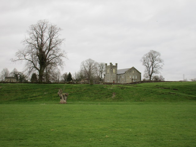
Glencartholm
Glencartholm is a location in Dumfries and Galloway, southern Scotland, along the River Esk.The Glencartholm Volcanic Beds contain a Palaeozoic (specifically...
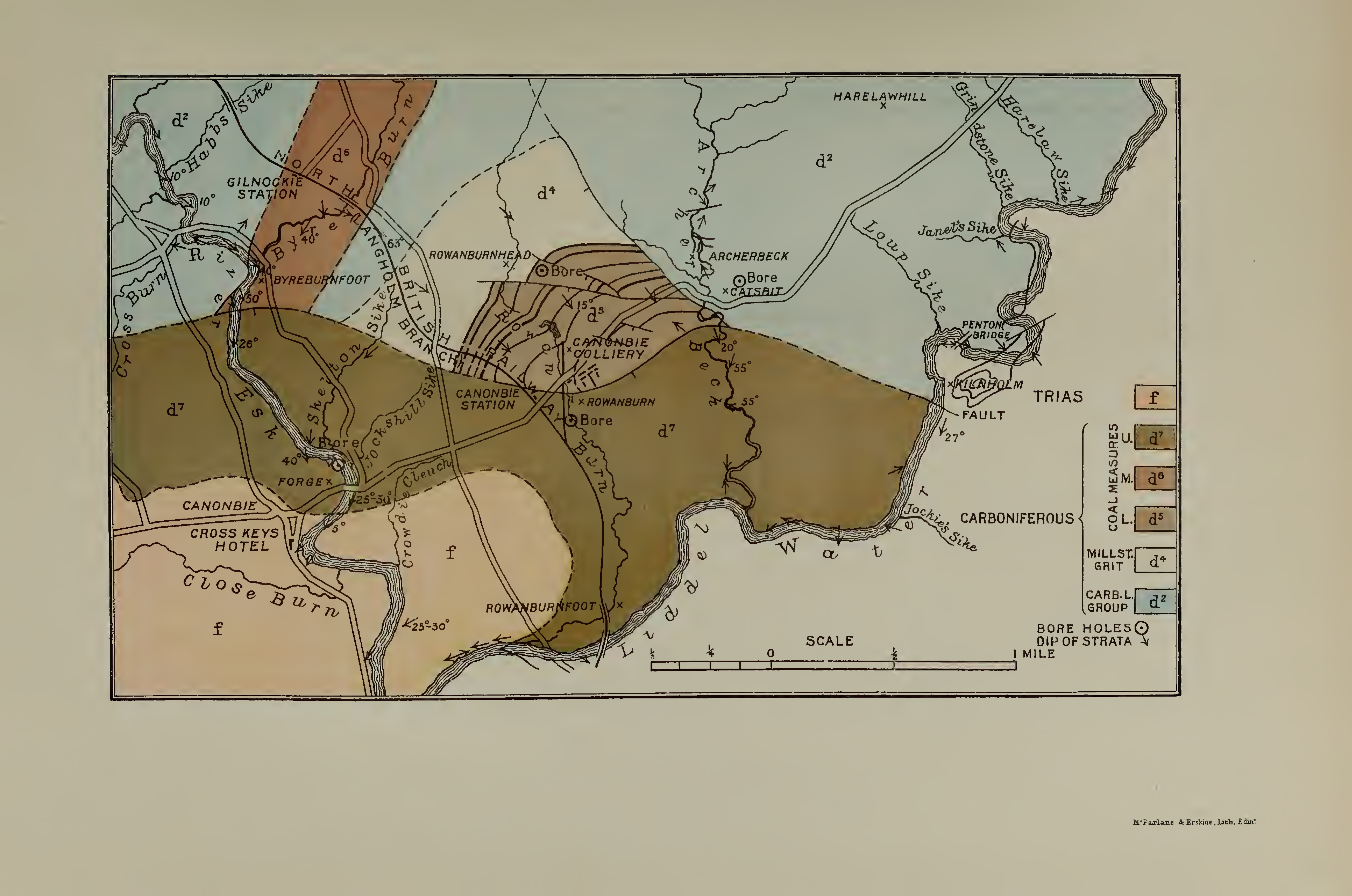
Canonbie Coalfield
The Canonbie Coalfield is a small and largely concealed coalfield at Canonbie in the south of Scotland. A comprehensive survey by Peach and Horne was published...
Canonbie
Canonbie (Scottish Gaelic: Canonbaidh) is a small village in Dumfriesshire within the local authority area of Dumfries and Galloway in Scotland, 6 miles...
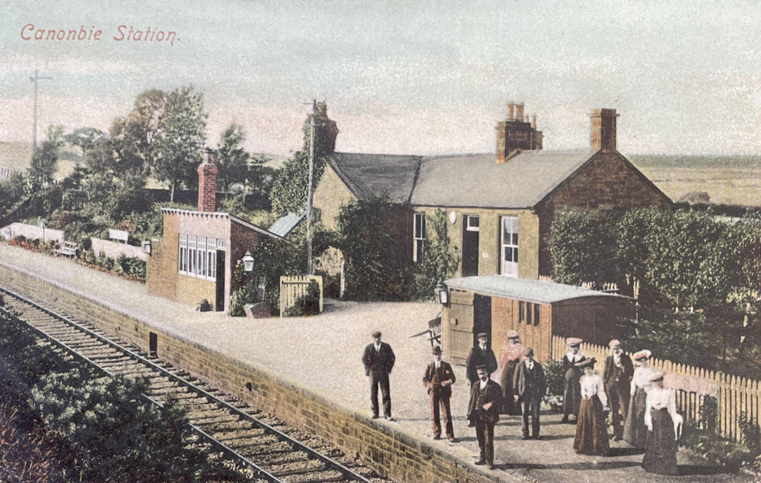
Canonbie railway station
Canonbie railway station served the village of Canonbie, Dumfries and Galloway, Scotland from 1862 to 1967 on the Border Union Railway. == History == The...
Rowanburn
Rowanburn is a hamlet in Eskdale, Dumfries and Galloway, Scotland. Located near Canonbie, it sits around 5 miles south-east of Langholm and about a mile...
Nearby Amenities
Located within 500m of 55.093375,-2.9590939Have you been to Chapel Pool?
Leave your review of Chapel Pool below (or comments, questions and feedback).