Eskbank Wood
Wood, Forest in Dumfriesshire
Scotland
Eskbank Wood
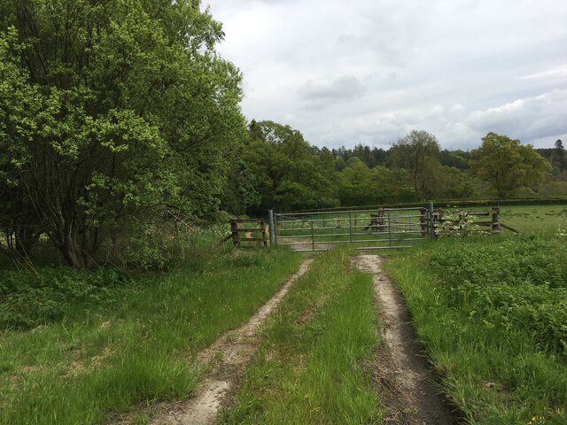
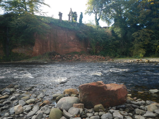
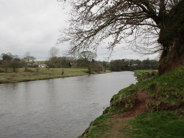
Eskbank Wood is a picturesque forest located in Dumfriesshire, Scotland. Situated near the town of Eskbank, the wood is a popular destination for nature enthusiasts and hikers alike. Covering an area of approximately 150 acres, Eskbank Wood offers a tranquil escape from the hustle and bustle of city life.
The wood is predominantly made up of native Scottish trees, including oak, ash, and birch, creating a diverse and vibrant ecosystem. The dense canopy formed by these trees provides a cool and shaded environment during the summer months, making it an ideal place for a leisurely stroll or a family picnic.
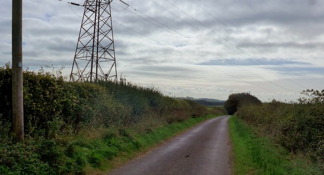
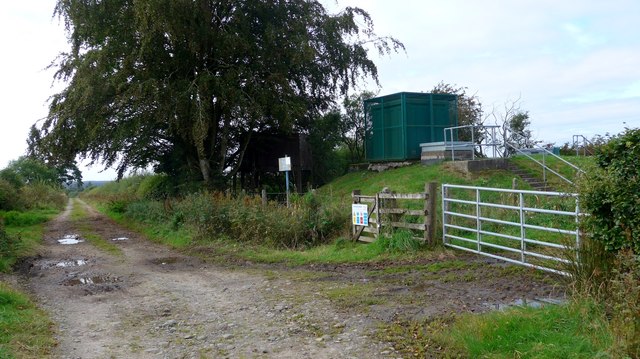
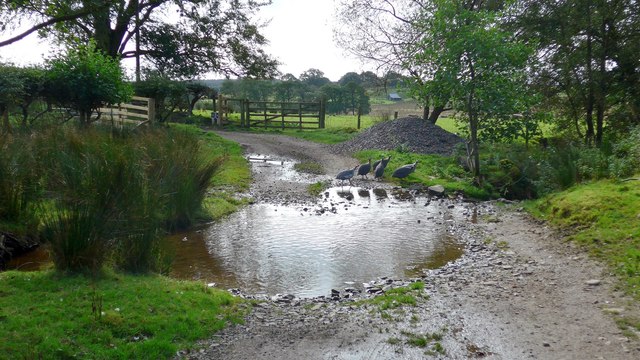
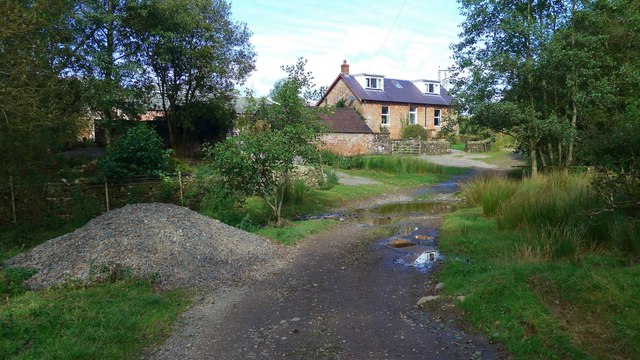
With a network of well-maintained paths and trails, Eskbank Wood offers visitors the opportunity to explore its natural beauty. The paths wind their way through the woodland, allowing visitors to immerse themselves in the sights and sounds of nature. Along the way, one can encounter a variety of wildlife, from woodland birds to small mammals such as red squirrels and rabbits.
In addition to its natural charm, Eskbank Wood also boasts historical significance. The remnants of an ancient hill fort can be found within the wood, serving as a reminder of its rich past. This historical feature adds an extra layer of intrigue for those who wish to delve into the area's heritage.
Overall, Eskbank Wood offers a serene and enchanting experience for nature lovers and history enthusiasts alike. Its combination of natural beauty, well-maintained trails, and historical significance make it a must-visit destination in Dumfriesshire.
If you have any feedback on the listing, please let us know in the comments section below.
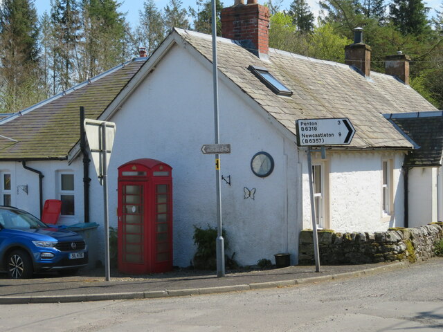
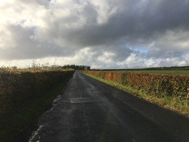
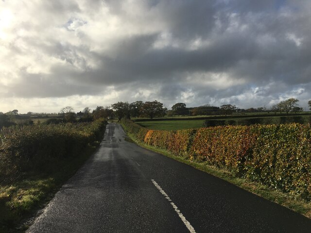
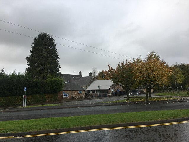
Eskbank Wood Images
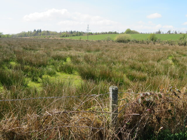
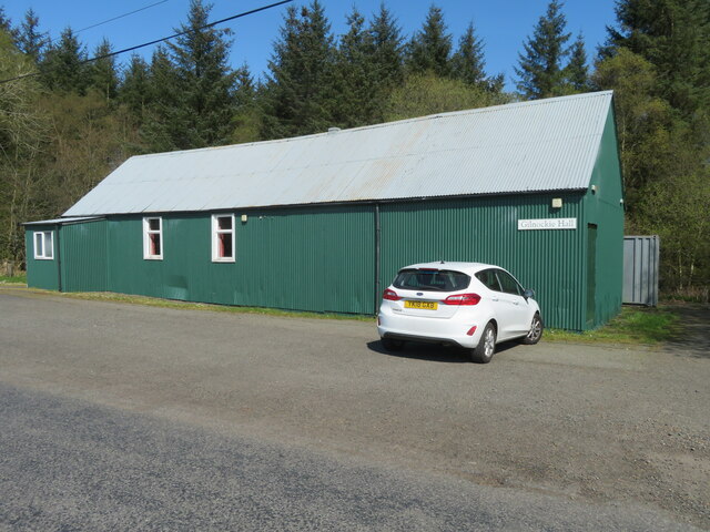
Images are sourced within 2km of 55.086038/-2.9595606 or Grid Reference NY3877. Thanks to Geograph Open Source API. All images are credited.


Eskbank Wood is located at Grid Ref: NY3877 (Lat: 55.086038, Lng: -2.9595606)
Unitary Authority: Dumfries and Galloway
Police Authority: Dumfries and Galloway
What 3 Words
///princely.dries.leans. Near Langholm, Dumfries & Galloway
Nearby Locations
Related Wikis
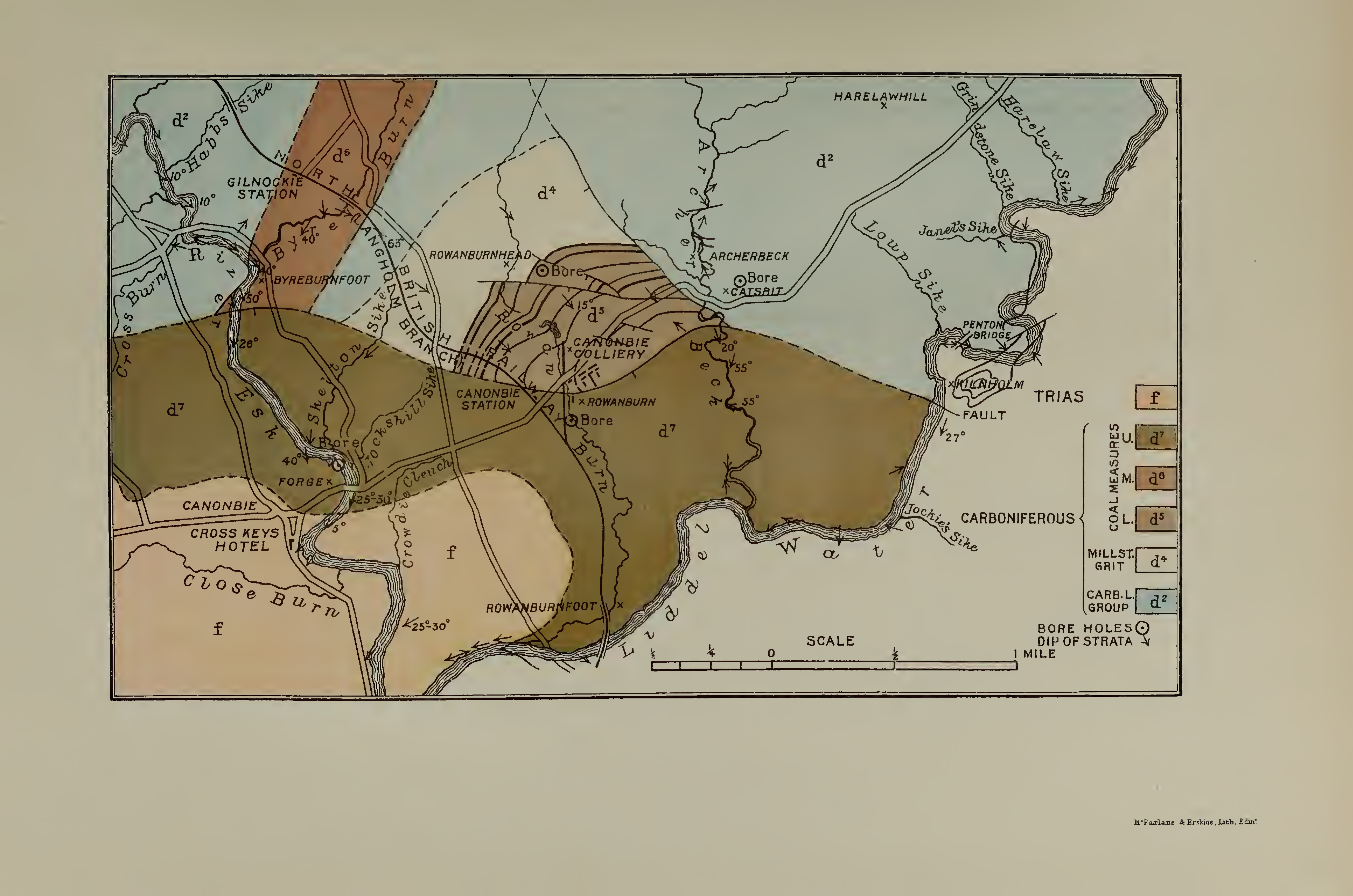
Canonbie Coalfield
The Canonbie Coalfield is a small and largely concealed coalfield at Canonbie in the south of Scotland. A comprehensive survey by Peach and Horne was published...

Canonbie
Canonbie (Scottish Gaelic: Canonbaidh) is a small village in Dumfriesshire within the local authority area of Dumfries and Galloway in Scotland, 6 miles...

Fairy Loup
Fairy Loup is a waterfall located on Byre Burn, a tributary of River Esk, in Dumfries and Galloway, Scotland.The waterfall's name originates in a local...
Gilnockie railway station
Gilnockie railway station served the hamlet of Hollows, Dumfries and Galloway, Scotland from 1864 to 1967 on the Border Union Railway. == History == The...
Nearby Amenities
Located within 500m of 55.086038,-2.9595606Have you been to Eskbank Wood?
Leave your review of Eskbank Wood below (or comments, questions and feedback).