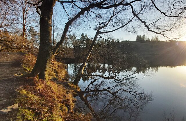
Wharton Tarn

Lake, Pool, Pond, Freshwater Marsh in Lancashire South Lakeland

England

Wharton Tarn

Tom Ghyll Waterfalls
Tom Ghyll Waterfalls Credit: Anthony Parkes

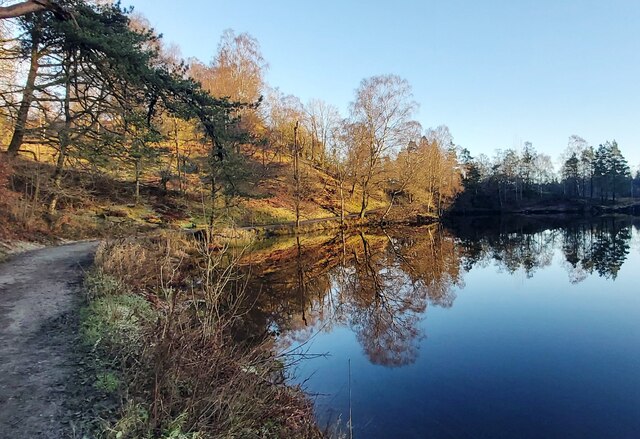
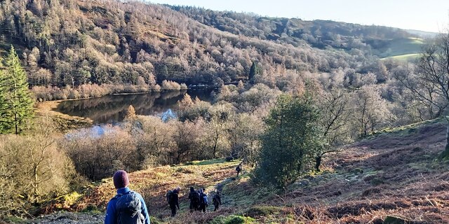
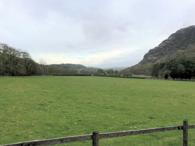
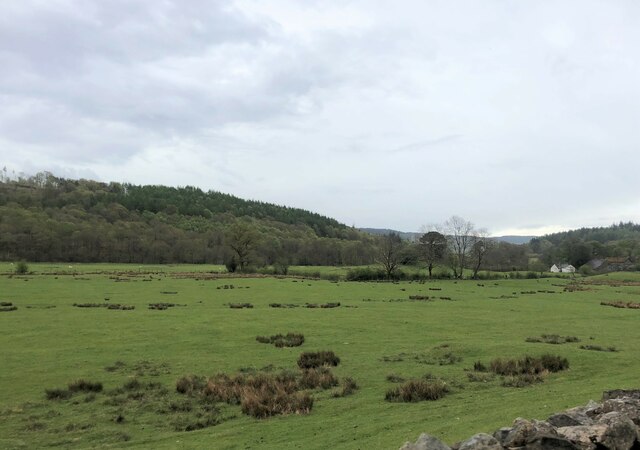
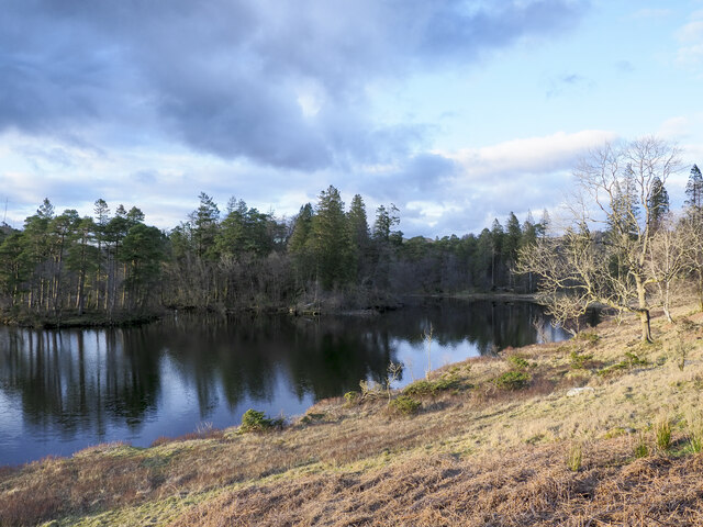
Wharton Tarn is a small freshwater lake located in Lancashire, England. Situated near the town of Wharton, it is a popular destination for locals and tourists alike. Spanning an area of approximately 10 acres, the tarn is surrounded by picturesque countryside and offers breathtaking views.

The lake itself is characterized by its calm and tranquil waters, making it an ideal spot for various recreational activities. Fishing enthusiasts are drawn to Wharton Tarn for its abundance of freshwater fish species, including perch, pike, and roach. Anglers can be seen casting their lines from the banks or from small boats that can be rented nearby.

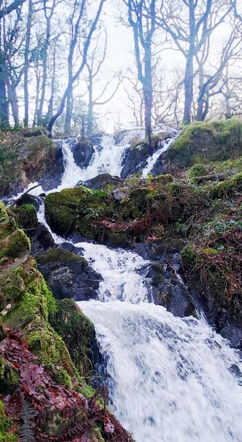
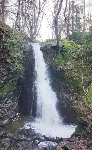
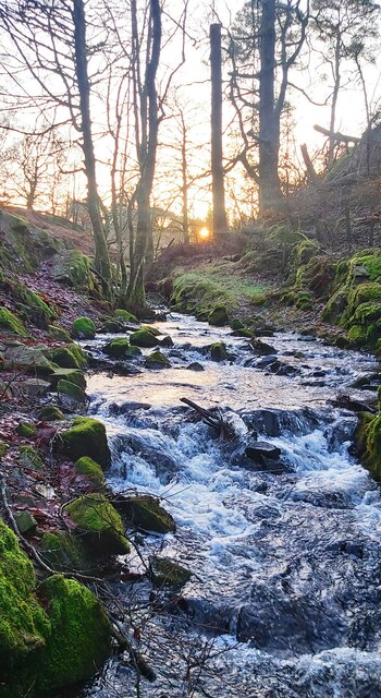
The tarn is also home to a diverse range of wildlife, making it a haven for nature lovers. Birdwatchers can observe a variety of species, such as swans, ducks, and herons, as well as migratory birds during the appropriate seasons. The surrounding vegetation and marshlands provide a habitat for numerous amphibians and insects, adding to the ecological richness of the area.

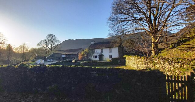
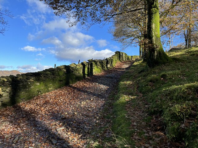
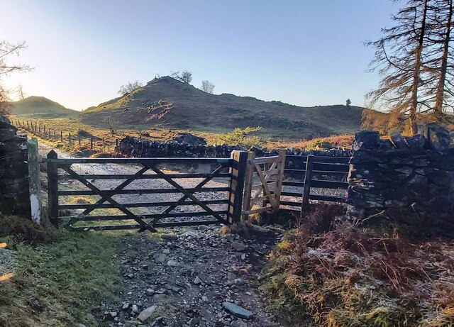
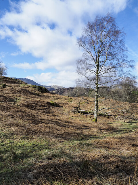
Visitors to Wharton Tarn can enjoy leisurely walks along the designated footpaths that encircle the lake, allowing them to fully appreciate the beauty of the landscape. The natural beauty of Wharton Tarn provides a peaceful escape from the hustle and bustle of everyday life, making it a popular spot for picnics and family outings.

Overall, Wharton Tarn offers a serene and scenic environment for outdoor enthusiasts, providing opportunities for fishing, birdwatching, and leisurely walks. Its natural charm and abundant wildlife make it a must-visit destination for those seeking a peaceful retreat in the heart of Lancashire.

If you have any feedback on the listing, please let us know in the comments section below.

Wharton Tarn Images

Images are sourced within 2km of 54.380436/-3.0314325 or Grid Reference SD3398. Thanks to Geograph Open Source API. All images are credited.

Tom Ghyll Waterfalls
Tom Ghyll Waterfall
Tom Ghyll Waterfall
Tom Ghyll at Dawn
Tom Ghyll at Dawn
Morning Reflections in Tarn Hows
Tarn Hows Reflections
Tarn Hows
Tarn Hows
Yew Tree Farm
Yew Tree Farm
The Cumbria Way, Tarn Hows Wood The Cumbria Way follows the public footpath from Low Yewdale Bridge along the edge of Tarn Hows Wood near Tarn Hows Cottage (next photograph <a href="https://www.geograph.org.uk/photo/7547932">SD3199 : The Cumbria Way in Tarn Hows Wood</a>).
The Cumbria Way, Tarn Hows Wood
The Cumbria Way follows the public footpath from Low Yewdale Bridge along the edge of Tarn Hows Wood near Tarn Hows Cottage (next photograph SD3199 : The Cumbria Way in Tarn Hows Wood).
Footpath near Iron Keld Plantation
Gated track in the morning frost
Yew Tree Tarn
Yew Tree Tarn
Sheep grazing near Tarn Hows Woods
Yewdale Valley Yewdale Crag to the right
Yewdale Valley
Yewdale Crag to the right
Yewdale Valley Poor grazing land here
Yewdale Valley
Poor grazing land here
Monk Coniston Hall Monk Coniston Hall is a National Trust property privately leased to HF Holidays as one of their Country Houses.
Monk Coniston Hall
Monk Coniston Hall is a National Trust property privately leased to HF Holidays as one of their Country Houses.
Counting House at Monk Coniston Monk Coniston is a National Trust Property leased by HF Holidays and operated as a country house hotel. There are several buildings on the site; this is the Counting House.
Counting House at Monk Coniston
Monk Coniston is a National Trust Property leased by HF Holidays and operated as a country house hotel. There are several buildings on the site; this is the Counting House.
Eastern side of Tarn Hows Tarn Hows is an archetypal Lake District location close to the village of Coniston. It's partly an artificial creation, the result of damming one of three tarns to create a larger feature.
Eastern side of Tarn Hows
Tarn Hows is an archetypal Lake District location close to the village of Coniston. It's partly an artificial creation, the result of damming one of three tarns to create a larger feature.
Birch tree on bracken-strewn slope The tree is on a hill slope south-west of Tarn Hows. The bracken is of course dead, the residue of the previous year's growth.
Wetherlam just shows above knolls at the left side horizon.
Birch tree on bracken-strewn slope
The tree is on a hill slope south-west of Tarn Hows. The bracken is of course dead, the residue of the previous year's growth. Wetherlam just shows above knolls at the left side horizon.
Show me another place!

Wharton Tarn is located at Grid Ref: SD3398 (Lat: 54.380436, Lng: -3.0314325)

Administrative County: Cumbria

District: South Lakeland

Police Authority: Cumbria

What 3 Words

///stammer.forge.squares. Near Ambleside, Cumbria

Related Wikis

Tarn Hows

Tarn Hows is an area of the Lake District National Park in North West England, It contains a picturesque tarn, approximately 2 miles (3.2 km) northeast...

Hawkshead Hill

Hawkshead Hill is a hamlet in the South Lakeland district, in the county of Cumbria, England. It is in the Lake District National Park. == Location... ==

Yew Tree Tarn

Yew Tree Tarn is a small lake in the English Lake District situated in between the towns of Ambleside and Coniston. The tarn was formed when the local...

Hawkshead

Hawkshead is a village and civil parish in Westmorland and Furness, Cumbria, England. Within the boundaries of the historic county of Lancashire, the parish...

Nearby Amenities

Located within 500m of 54.380436,-3.0314325
Bus Stop
High Cross
Naptan AtcoCode: 090079284223
Naptan Bearing: N
Naptan CommonName: High Cross
Naptan Indicator: near
Naptan Landmark: Summer Hill Country House
Naptan NaptanCode: cumdpwja
Naptan Street: No Name
Naptan Verified: no
Source: naptan_import
Lat/Long: 54.3787688/-3.0292521
Barrier: kissing_gate
Lat/Long: 54.3812996/-3.0301196
Barrier: kissing_gate
Lat/Long: 54.3814352/-3.0300875
Tourism: picnic_site
Lat/Long: 54.3782515/-3.0305424
Barrier: kissing_gate
Source: survey;gps
Lat/Long: 54.3818919/-3.0266167
Barrier: cattle_grid
Lat/Long: 54.3822905/-3.0261641
Barrier: kissing_gate
Source: survey;gps
Lat/Long: 54.3817856/-3.0247077
The data included in this document is from www.openstreetmap.org. The data is made available under ODbL.

Have you been to Wharton Tarn?

Leave your review of Wharton Tarn below (or comments, questions and feedback).