Boat Pool

Lake, Pool, Pond, Freshwater Marsh in Peeblesshire

Scotland

Boat Pool

Innerleithen from Traquair A view from the Southern Upland Way to the town with Lee Pen in cloud beyond.
Innerleithen from Traquair Credit: Jim Barton

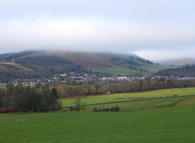
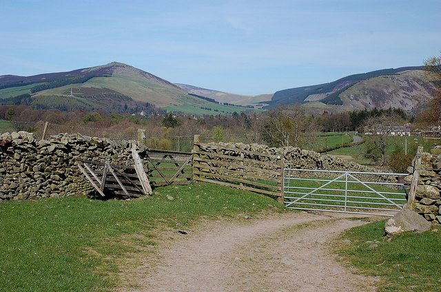
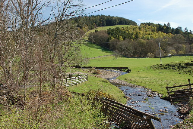
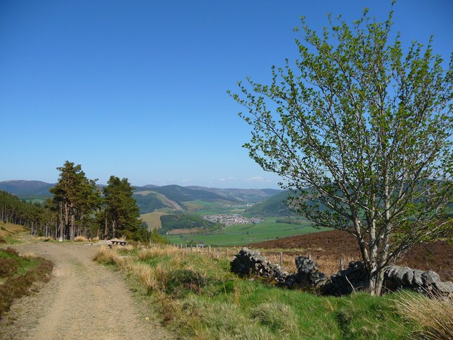
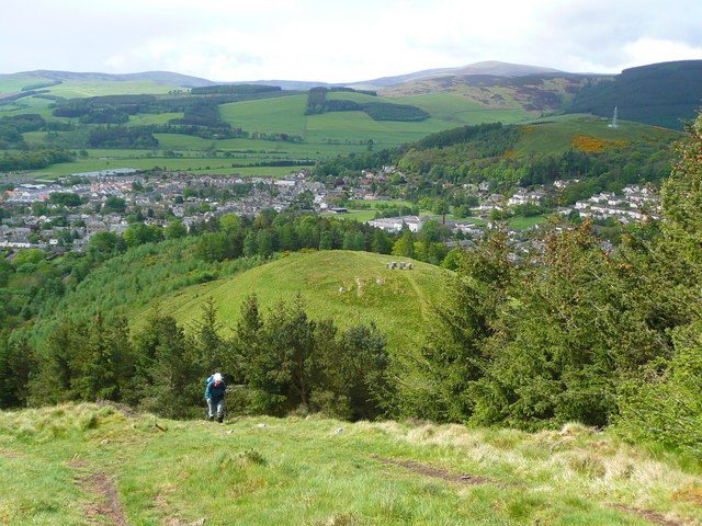
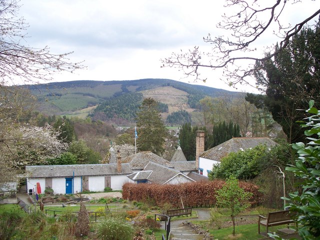
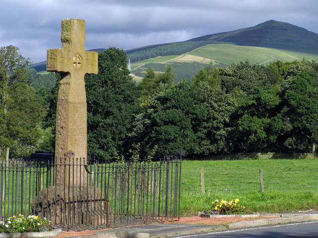
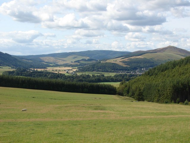
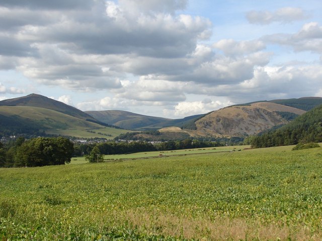
Boat Pool, located in Peeblesshire, is a picturesque freshwater marsh encompassing a lake, pool, pond, and marshland. Spanning approximately 50 acres, Boat Pool is a haven for wildlife and a popular destination for nature enthusiasts.

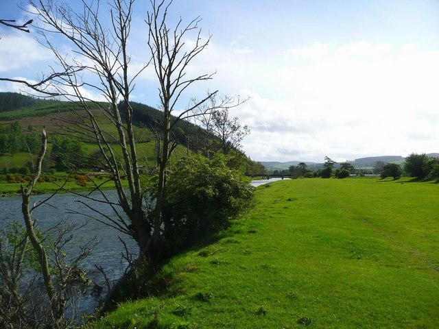
The lake at Boat Pool is a stunning expanse of calm, pristine water, surrounded by lush greenery and native vegetation. It provides a perfect habitat for various species of fish, including trout and perch, making it a haven for anglers seeking a peaceful fishing experience. The lake also attracts a plethora of bird species, such as herons, ducks, and swans, which can be observed gracefully gliding across the water's surface.

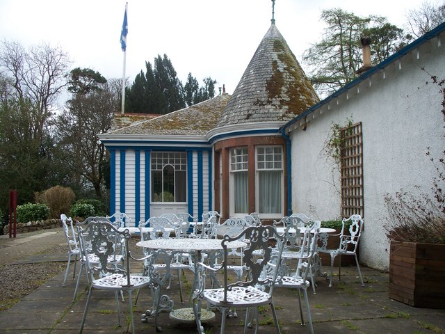
Adjacent to the lake is a smaller pool and pond, both teeming with aquatic life. These smaller bodies of water offer a serene environment for visitors to relax and enjoy the tranquil surroundings. The pond is particularly popular for families, as children can often be seen delighting in feeding the ducks and geese that call this place home.

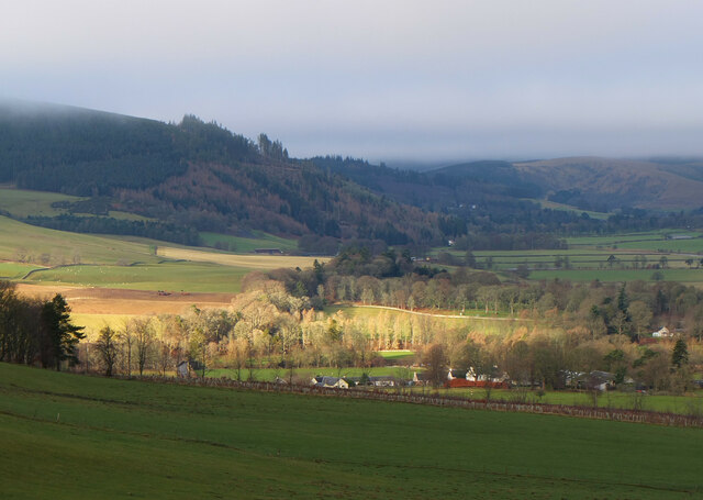
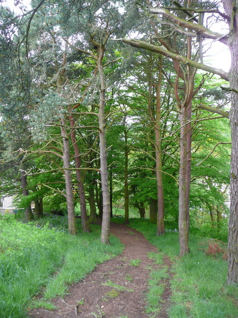
The marshland surrounding Boat Pool is a vital ecosystem, providing a habitat for a diverse range of flora and fauna. Here, visitors can observe various species of wetland plants, including reeds, rushes, and water lilies. The marsh also attracts a myriad of birdlife, including marsh harriers, moorhens, and reed buntings.

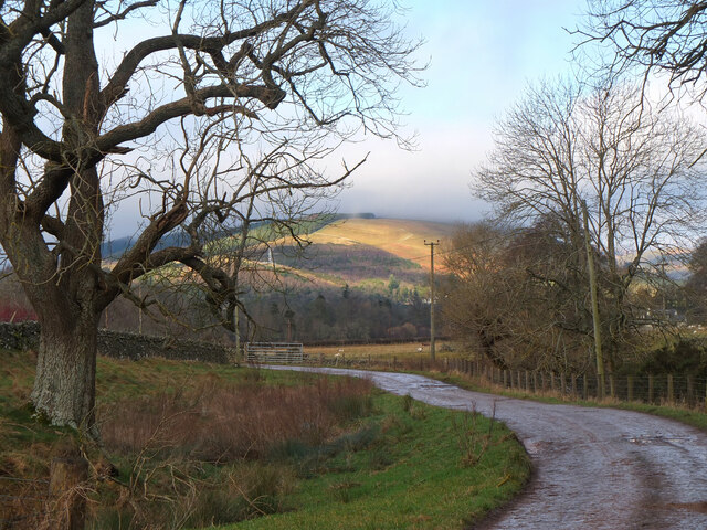
Boat Pool, Peeblesshire, offers a unique opportunity to immerse oneself in the beauty of nature. Whether it's fishing, birdwatching, or simply enjoying a peaceful stroll around the water's edge, this freshwater marsh is a captivating destination for all nature enthusiasts.

If you have any feedback on the listing, please let us know in the comments section below.

Boat Pool Images

Images are sourced within 2km of 55.610721/-3.0636967 or Grid Reference NT3335. Thanks to Geograph Open Source API. All images are credited.

Innerleithen from Traquair A view from the Southern Upland Way to the town with Lee Pen in cloud beyond.
Innerleithen from Traquair
A view from the Southern Upland Way to the town with Lee Pen in cloud beyond.
Sunlight at Traquair Patchy sunlight as a low-lying cloud layer thins out above the Tweed valley.
Sunlight at Traquair
Patchy sunlight as a low-lying cloud layer thins out above the Tweed valley.
Track near Damhead The track to the B709 road to Traquair with Lee Pen catching the sun in the background.
Track near Damhead
The track to the B709 road to Traquair with Lee Pen catching the sun in the background.
Roman Catholic Church of St James, Innerleithen
Church Hall for Roman Catholic Church of St James,
Track approaching Damhead farm The track from Damhead Rig passes through the farmyard. The buildings at Traquair village are in the middle distance.
Track approaching Damhead farm
The track from Damhead Rig passes through the farmyard. The buildings at Traquair village are in the middle distance.
Fingland Burn Seen from the road bridge, with Shaw Hill in the background.
Fingland Burn
Seen from the road bridge, with Shaw Hill in the background.
Forest walk Forest walk in Cardrona Forest with view over Tweed Valley to Peebles some 4 or 5 miles distant. Cardrona Forest which is owned by the Forestry Commission has many fine forest walks. It is also a haven for a great variety of wildlife including the recent welcome return of nesting Ospreys.
Forest walk
Forest walk in Cardrona Forest with view over Tweed Valley to Peebles some 4 or 5 miles distant. Cardrona Forest which is owned by the Forestry Commission has many fine forest walks. It is also a haven for a great variety of wildlife including the recent welcome return of nesting Ospreys.
The Tweed at Innerleithen The disused railway bridge (the Haugh-head Viaduct, opened 1866 by North British Rail) in the distance.
The Tweed at Innerleithen
The disused railway bridge (the Haugh-head Viaduct, opened 1866 by North British Rail) in the distance.
Looking back on Pirn Hill and its viewpoint The seven stone plinths at the viewpoint above Innerleithen can be clarly seen.
Looking back on Pirn Hill and its viewpoint
The seven stone plinths at the viewpoint above Innerleithen can be clarly seen.
Path through the trees from Pirn Hill
Playing fields at Innerleithen
Coat of arms on St. Ronan's Well pavilion
St Ronans well pavilion from the rear garden
The Pavilion at St Ronan's well
War memorial at Traquair The solid looking memorial stands at a road junction; Lee Pen is the prominent hill beyond.
War memorial at Traquair
The solid looking memorial stands at a road junction; Lee Pen is the prominent hill beyond.
View towards the River Tweed near Innerleithen A pleasant view of the River Tweed and surrounding farmland at the start of August.
View towards the River Tweed near Innerleithen
A pleasant view of the River Tweed and surrounding farmland at the start of August.
View towards Innerleithen Looking across from the S.U.W. pathway towards Pirn Craig, with Lee Pen on the far left.
View towards Innerleithen
Looking across from the S.U.W. pathway towards Pirn Craig, with Lee Pen on the far left.
Show me another place!

Boat Pool is located at Grid Ref: NT3335 (Lat: 55.610721, Lng: -3.0636967)

Unitary Authority: The Scottish Borders

Police Authority: The Lothians and Scottish Borders

What 3 Words

///incomes.clouds.beanbag. Near Innerleithen, Scottish Borders

Nearby Locations

Boat Pool Quair Throat

Related Wikis

Traquair House

Traquair House, approximately 7 miles southeast of Peebles, is claimed to be the oldest continually inhabited house in Scotland. Whilst not strictly a...

Innerleithen railway station

Innerleithen railway station served the town of Innerleithen, Scottish Borders, Scotland from 1864 to 1962 on the Peebles Railway. == History == The station...

Leithen Water

Leithen Water (Scottish Gaelic: Leitheann / Abhainn Leitheinn) is a tributary of the River Tweed in Scotland. It rises in the Moorfoot Hills and joins...

Innerleithen

Innerleithen (Scottish Gaelic: Inbhir Leitheann) is a civil parish and a small town in the committee area of Tweeddale, in the Scottish Borders. It was...

Related Videos

Hiking John O’ Groats to Land’s End | Daily Vlog | Day 25

Me and Di (my girlfriend) are hiking from John O' Groats to Land's End and wild camping all the way. This is a daily vlog of our ...

Scottish National Trail: Day 4 - Traquair Hills to Peebles

An update on my hike of the Scottish National Trail! See more at Wayfaringkiwi.com.

HOW WE MAKE MONEY TO TRAVEL FULL TIME

This is just ONE of the income streams we've been using to make money to travel full time. It's called Amazon FBA. I learned about ...

Nearby Amenities

Located within 500m of 55.610721,-3.0636967
Traffic Signals
Lat/Long: 55.6131029/-3.0597847
Traffic Signals
Lat/Long: 55.6124353/-3.0590059
Traquair House
Addr City: Innerleithen
Addr Postcode: EH44 6PW
Fhrs Id: 28410
Phone: +44 18 96 83 03 23
Tourism: guest_house
Website: https://www.traquair.co.uk/
Lat/Long: 55.6083811/-3.06397
Covered: no
Leisure: picnic_table
Lat/Long: 55.6113365/-3.0563843
Covered: no
Leisure: picnic_table
Lat/Long: 55.6113683/-3.0563307
Barrier: kissing_gate
Fixme: resurvey
Lat/Long: 55.613086/-3.0598607
Barrier: kissing_gate
Lat/Long: 55.6123783/-3.0651126
Material: wood
Power: pole
Lat/Long: 55.6139537/-3.0688181
Material: wood
Power: pole
Lat/Long: 55.61394/-3.067702
Material: wood
Power: pole
Lat/Long: 55.6139128/-3.0650871
Material: wood
Power: pole
Lat/Long: 55.6138639/-3.0620324
Material: wood
Power: pole
Lat/Long: 55.614388/-3.0604746
Material: wood
Power: pole
Lat/Long: 55.6141318/-3.061251
Material: wood
Power: pole
Lat/Long: 55.6139265/-3.0664005
Cafe
Garden Cafe
Lat/Long: 55.6070318/-3.0661149
Noexit: yes
Lat/Long: 55.6083047/-3.063623
Noexit: yes
Lat/Long: 55.6082632/-3.063669
Noexit: yes
Lat/Long: 55.6084934/-3.0635074
Noexit: yes
Lat/Long: 55.608686/-3.0631153
Entrance: main
Lat/Long: 55.608555/-3.0636121
Power: pole
Lat/Long: 55.6140114/-3.0602244
Power: pole
Lat/Long: 55.613626/-3.0593072
Power: pole
Lat/Long: 55.6131914/-3.0584578
Power: pole
Lat/Long: 55.612915/-3.0579744
Power: pole
Lat/Long: 55.6122132/-3.0565075
Power: pole
Lat/Long: 55.6126521/-3.0574021
Entrance: exit
Lat/Long: 55.6085775/-3.0636122
Vending Machine
Vending: parking_tickets
Lat/Long: 55.6114043/-3.0562846
Shop: gift
Lat/Long: 55.6083439/-3.0645325
Craft: brewery
Lat/Long: 55.6083952/-3.0644118
Place Of Worship
Denomination: catholic
Religion: christian
Lat/Long: 55.6084486/-3.0642954
Bench
Lat/Long: 55.6082519/-3.0645104
Bench
Lat/Long: 55.6081345/-3.0643589
Bench
Lat/Long: 55.608268/-3.0644683
Bench
Lat/Long: 55.6081492/-3.0643312
Bench
Lat/Long: 55.6080973/-3.0636116
Bench
Lat/Long: 55.6076657/-3.0632288
The data included in this document is from www.openstreetmap.org. The data is made available under ODbL.

Have you been to Boat Pool?

Leave your review of Boat Pool below (or comments, questions and feedback).