Tenter Hill
Hill, Mountain in Lancashire South Lakeland
England
Tenter Hill
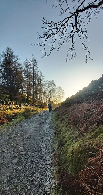
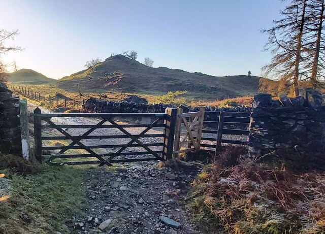
Tenter Hill is a prominent hill located in the county of Lancashire, England. Situated in the picturesque countryside near the town of Clitheroe, it forms part of the Forest of Bowland Area of Outstanding Natural Beauty. Rising to an elevation of approximately 345 meters (1,132 feet), Tenter Hill offers stunning panoramic views of the surrounding landscape.
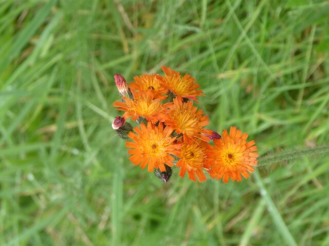
The hill is primarily composed of gritstone, giving it a rugged and rocky terrain. It is covered in heather, grasses, and other native vegetation, creating a rich and diverse habitat for various flora and fauna. Tenter Hill is also home to a number of wildlife species, including birds such as peregrine falcons, buzzards, and curlews.
Access to Tenter Hill is relatively easy, with several footpaths and trails leading to its summit. Hikers and outdoor enthusiasts are drawn to the area, as the hill provides excellent opportunities for walking, hiking, and birdwatching. The nearby Tenter Hill Wood is a popular spot for nature lovers, offering a tranquil setting for exploration and relaxation.
The hill's location within the Forest of Bowland makes it part of a designated Area of Outstanding Natural Beauty, recognized for its exceptional landscape and cultural heritage. Tenter Hill and its surrounding area are also rich in historical significance, with remains of ancient settlements and archaeological sites dating back to the Bronze Age.
Overall, Tenter Hill is a remarkable natural feature that offers visitors a chance to connect with nature and experience the beauty of Lancashire's countryside. Whether it be for hiking, wildlife observation, or simply enjoying the breathtaking views, Tenter Hill is a must-visit destination for those seeking a peaceful and immersive outdoor experience.
If you have any feedback on the listing, please let us know in the comments section below.
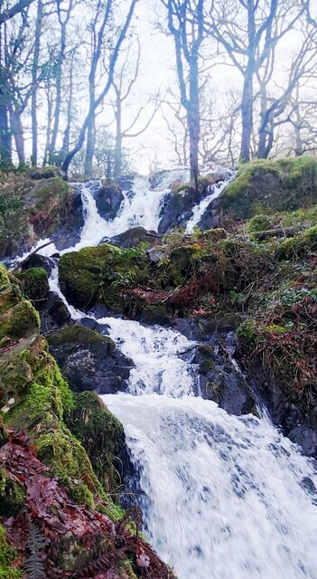
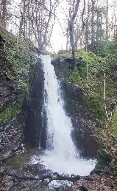
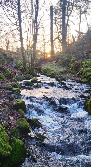
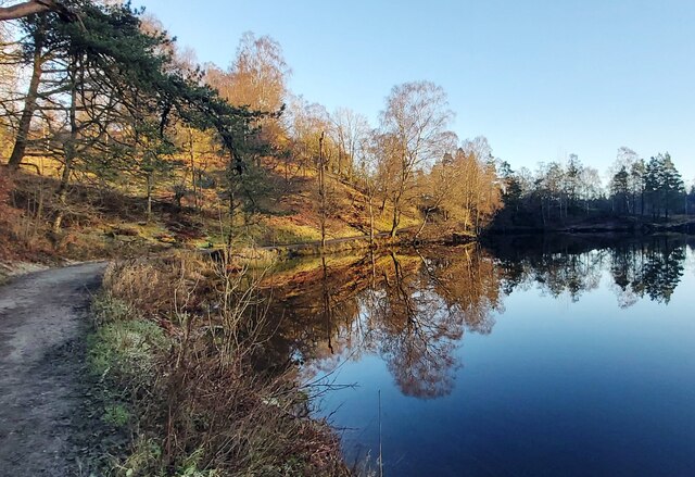
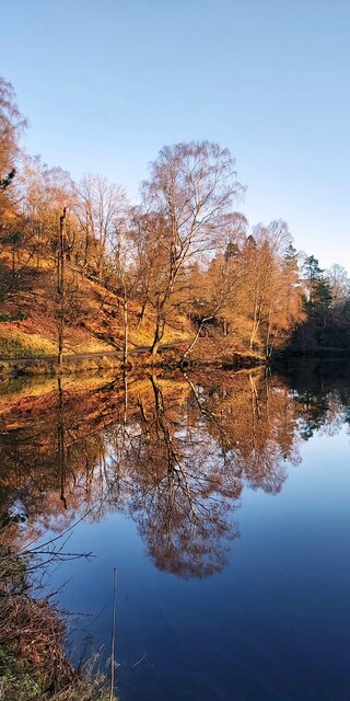
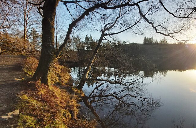
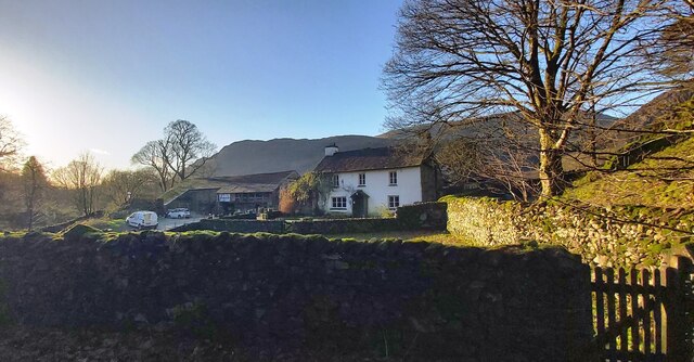
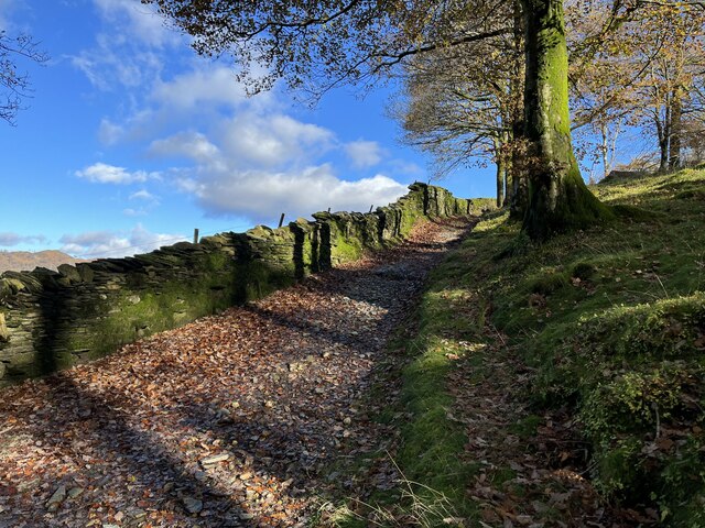
Tenter Hill Images
Images are sourced within 2km of 54.381933/-3.0233865 or Grid Reference SD3398. Thanks to Geograph Open Source API. All images are credited.


Tenter Hill is located at Grid Ref: SD3398 (Lat: 54.381933, Lng: -3.0233865)
Administrative County: Cumbria
District: South Lakeland
Police Authority: Cumbria
What 3 Words
///sushi.masterful.occurs. Near Ambleside, Cumbria
Nearby Locations
Related Wikis

Hawkshead Hill
Hawkshead Hill is a hamlet in the South Lakeland district, in the county of Cumbria, England. It is in the Lake District National Park. == Location... ==

Tarn Hows
Tarn Hows is an area of the Lake District National Park in North West England, It contains a picturesque tarn, approximately 2 miles (3.2 km) northeast...

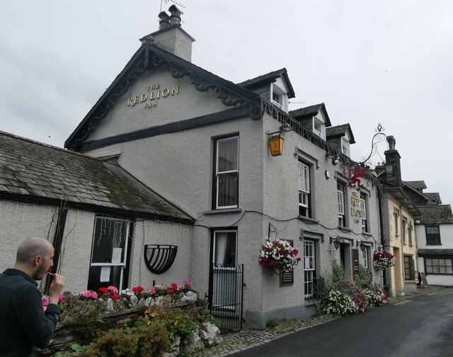
Hawkshead
Hawkshead is a village and civil parish in Westmorland and Furness, Cumbria, England. Within the boundaries of the historic county of Lancashire, the parish...

Beatrix Potter Gallery
The Beatrix Potter Gallery is a gallery run by the National Trust in a 17th-century stone-built house in Hawkshead, Cumbria, England. It is dedicated to...

Hawkshead Market Hall
Hawkshead Market Hall, also known as Hawkshead Town Hall, is a municipal building in The Square in Hawkshead, Cumbria, England. The building, which is...

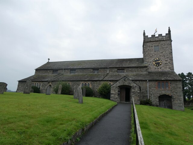
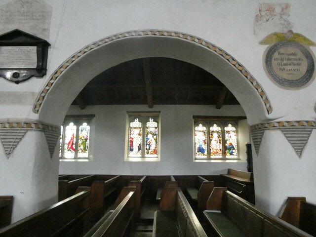
St Michael and All Angels Church, Hawkshead
St Michael and All Angels Church is in the village of Hawkshead, Cumbria, England. It is an active Anglican parish church in the deanery of Windermere...
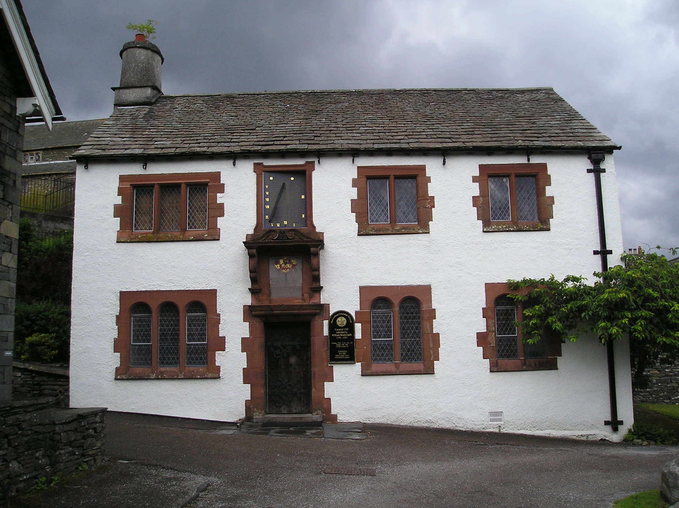
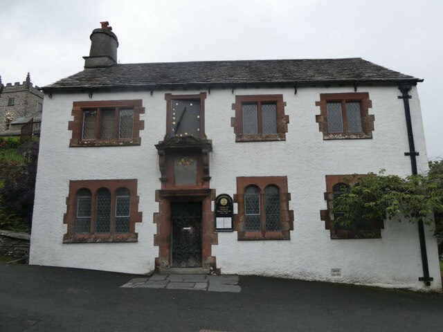
Hawkshead Grammar School
Hawkshead Grammar School in Hawkshead, Cumbria, England was founded in 1585 by Archbishop Edwin Sandys, the incumbent Archbishop of York, whose family...

Hawkshead Grammar School Museum
The museum operates in the old Hawkshead Grammar School building from 1 April through to 31 October. It gives an introductory talk about the school, highlighting...
Nearby Amenities
Located within 500m of 54.381933,-3.0233865Have you been to Tenter Hill?
Leave your review of Tenter Hill below (or comments, questions and feedback).