Frith Plantation
Downs, Moorland in Lancashire South Lakeland
England
Frith Plantation
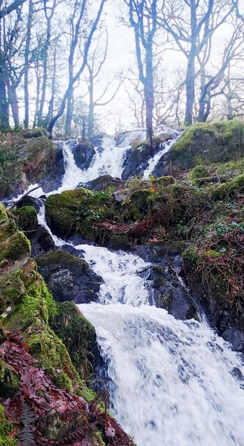
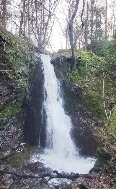
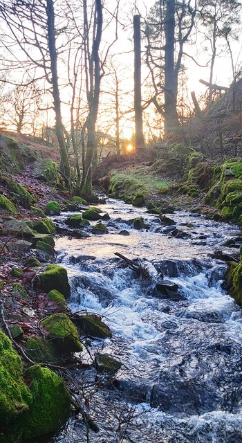
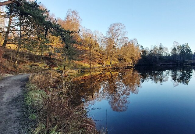
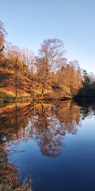
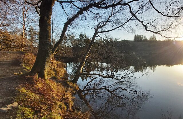
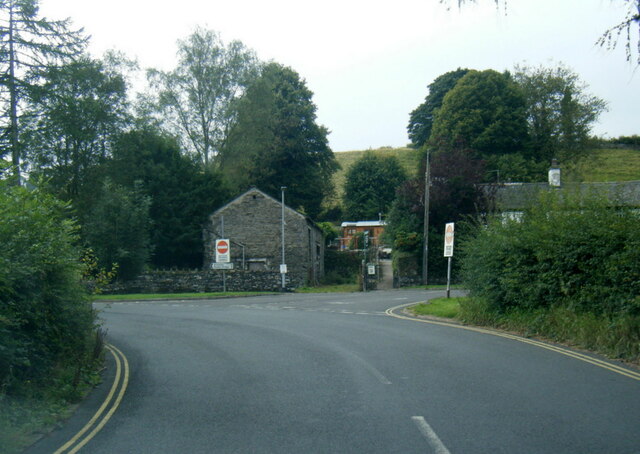
Frith Plantation is a scenic area located in Lancashire, England. Situated amidst the picturesque Downs and Moorland landscape, it offers visitors a tranquil and captivating experience. Spread over a vast area, the plantation is notable for its diverse flora and fauna, making it a popular destination for nature enthusiasts and hikers alike.
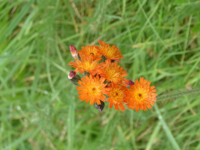
The plantation boasts a rich variety of trees, including oak, beech, and birch, which provide a vibrant display of colors throughout the seasons. The dense foliage and well-maintained paths make it an ideal location for leisurely walks and picnics. Visitors can also spot a wide range of wildlife, such as deer, rabbits, and various bird species, making it a haven for animal lovers and birdwatchers.
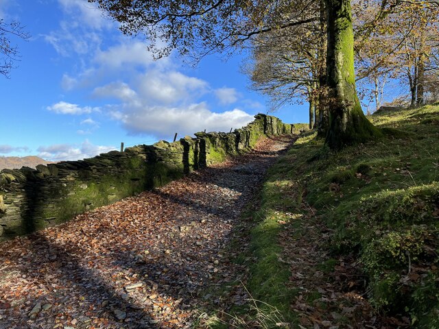
Frith Plantation is well-equipped with amenities to enhance the visitor experience. It offers ample parking facilities and well-marked trails, ensuring ease of access for all. There are also information boards placed strategically throughout the plantation, providing interesting facts about the local flora and fauna, as well as the history of the area.
The plantation is open to the public year-round and is particularly popular during the spring and summer months when the landscape is adorned with vibrant wildflowers and the air is filled with the sweet scent of blossoms. It provides a perfect escape from the hustle and bustle of city life, allowing visitors to immerse themselves in the serenity of nature.
Overall, Frith Plantation in Lancashire is a captivating destination for those seeking solace in nature. With its stunning landscape, diverse wildlife, and well-maintained facilities, it offers a delightful experience for visitors of all ages.
If you have any feedback on the listing, please let us know in the comments section below.
Frith Plantation Images
Images are sourced within 2km of 54.376239/-3.0250769 or Grid Reference SD3398. Thanks to Geograph Open Source API. All images are credited.


Frith Plantation is located at Grid Ref: SD3398 (Lat: 54.376239, Lng: -3.0250769)
Administrative County: Cumbria
District: South Lakeland
Police Authority: Cumbria
What 3 Words
///theme.sniff.tastier. Near Ambleside, Cumbria
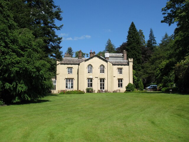
Nearby Locations
Related Wikis

Hawkshead Hill
Hawkshead Hill is a hamlet in the South Lakeland district, in the county of Cumbria, England. It is in the Lake District National Park. == Location... ==

Tarn Hows
Tarn Hows is an area of the Lake District National Park in North West England, It contains a picturesque tarn, approximately 2 miles (3.2 km) northeast...

Hawkshead
Hawkshead is a village and civil parish in Westmorland and Furness, Cumbria, England. Within the boundaries of the historic county of Lancashire, the parish...

Hawkshead Market Hall
Hawkshead Market Hall, also known as Hawkshead Town Hall, is a municipal building in The Square in Hawkshead, Cumbria, England. The building, which is...

St Michael and All Angels Church, Hawkshead
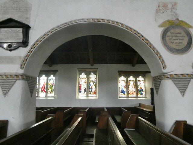
St Michael and All Angels Church is in the village of Hawkshead, Cumbria, England. It is an active Anglican parish church in the deanery of Windermere...

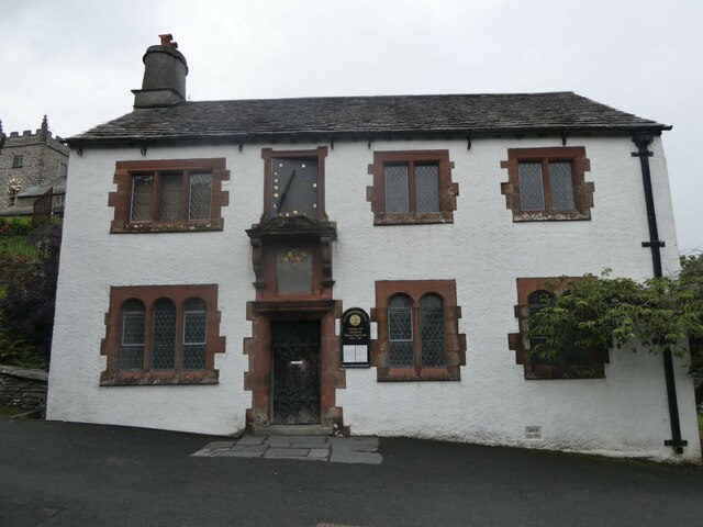
Beatrix Potter Gallery
The Beatrix Potter Gallery is a gallery run by the National Trust in a 17th-century stone-built house in Hawkshead, Cumbria, England. It is dedicated to...
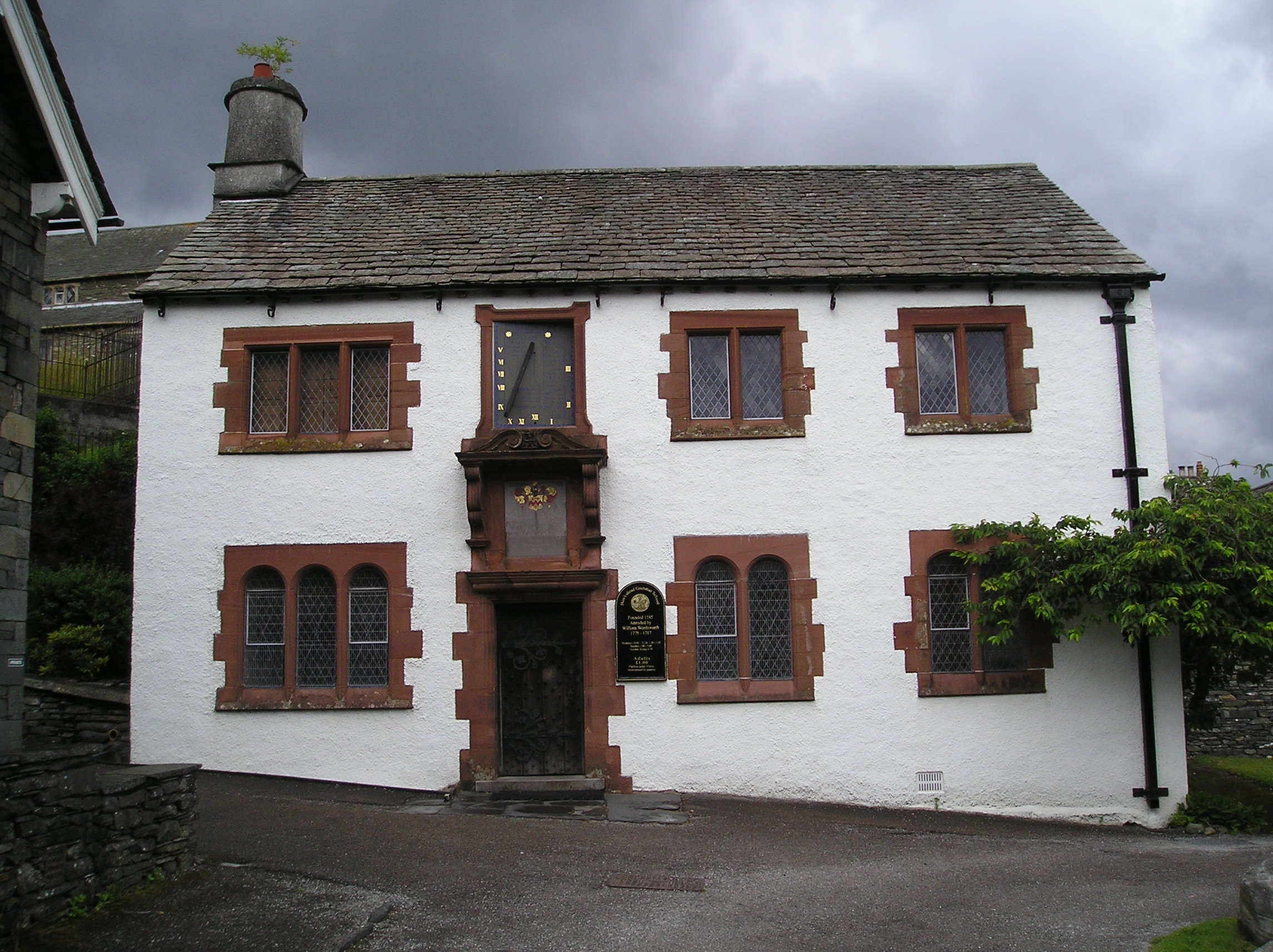
Hawkshead Grammar School
Hawkshead Grammar School in Hawkshead, Cumbria, England was founded in 1585 by Archbishop Edwin Sandys, the incumbent Archbishop of York, whose family...

Hawkshead Grammar School Museum
The museum operates in the old Hawkshead Grammar School building from 1 April through to 31 October. It gives an introductory talk about the school, highlighting...
Nearby Amenities
Located within 500m of 54.376239,-3.0250769Have you been to Frith Plantation?
Leave your review of Frith Plantation below (or comments, questions and feedback).