Edgelaw Reservoir
Lake, Pool, Pond, Freshwater Marsh in Midlothian
Scotland
Edgelaw Reservoir
Edgelaw Reservoir is a man-made freshwater reservoir located in Midlothian, Scotland. The reservoir was created in the 19th century to supply water to the nearby villages and towns. It covers an area of approximately 12 hectares and has a maximum depth of 10 meters.
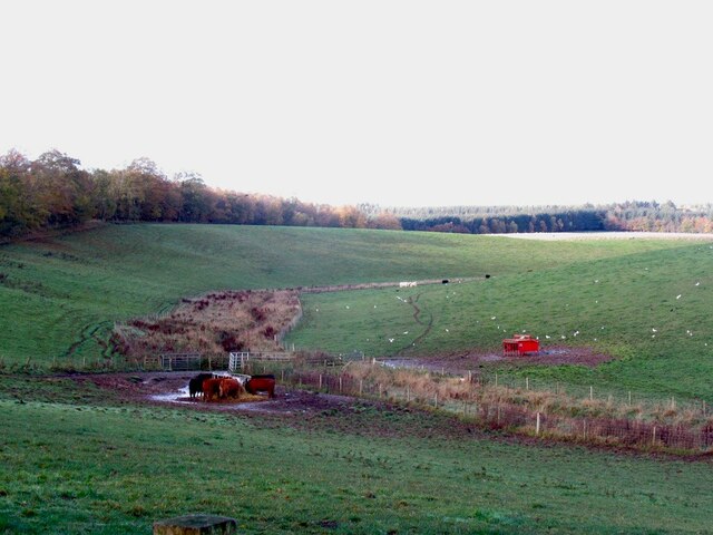
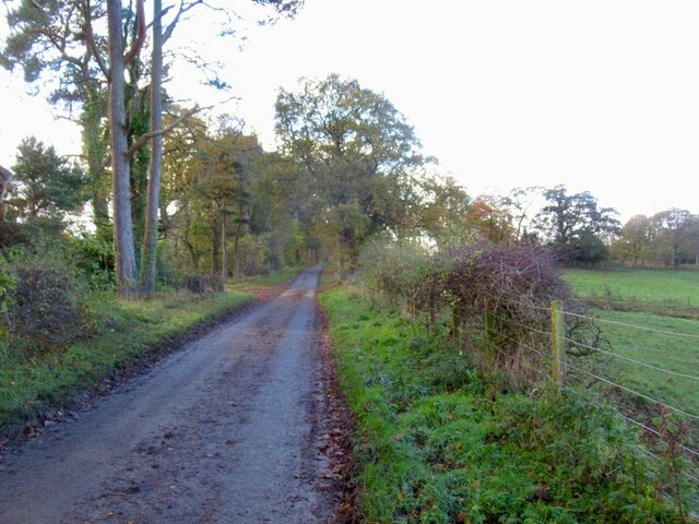
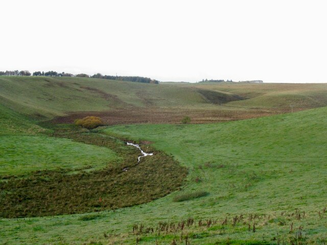
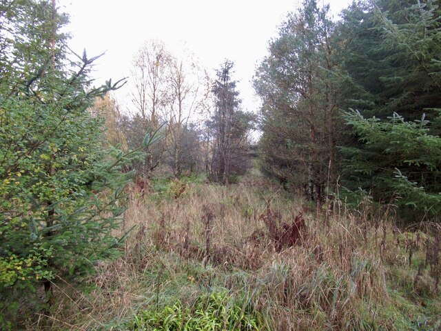
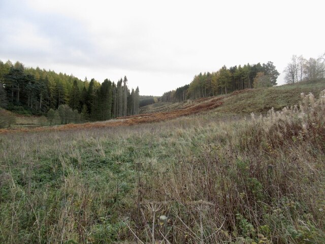
Surrounded by rolling hills and lush greenery, Edgelaw Reservoir is a popular spot for fishing, birdwatching, and nature walks. The reservoir is home to a variety of bird species, including ducks, swans, and herons, making it a haven for bird enthusiasts.
The calm waters of Edgelaw Reservoir provide a peaceful setting for outdoor activities such as boating and picnicking. The reservoir is also a great spot for wildlife spotting, with otters, deer, and other animals frequently seen in the area.
Overall, Edgelaw Reservoir is a tranquil and picturesque destination for those looking to escape the hustle and bustle of city life and immerse themselves in the beauty of nature.
If you have any feedback on the listing, please let us know in the comments section below.
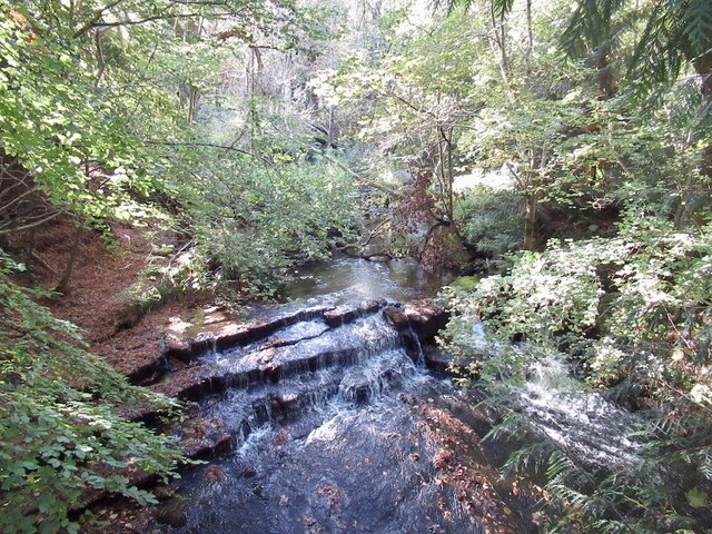
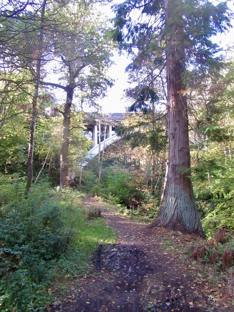
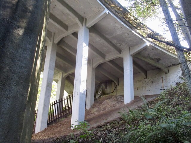
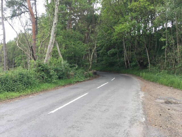
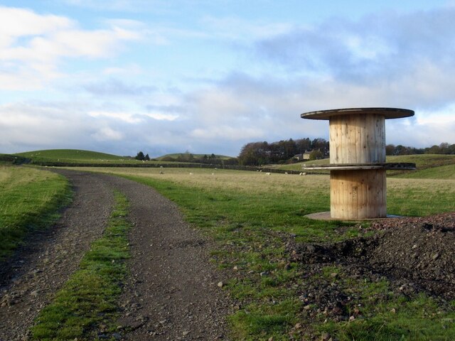
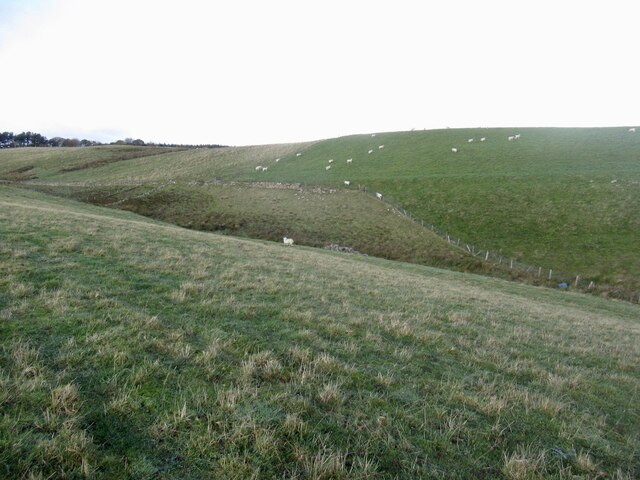
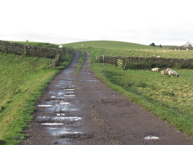
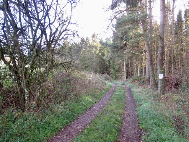
Edgelaw Reservoir Images
Images are sourced within 2km of 55.811452/-3.1163828 or Grid Reference NT3058. Thanks to Geograph Open Source API. All images are credited.


Edgelaw Reservoir is located at Grid Ref: NT3058 (Lat: 55.811452, Lng: -3.1163828)
Unitary Authority: Midlothian
Police Authority: The Lothians and Scottish Borders
What 3 Words
///imagined.giants.darkest. Near Rosewell, Midlothian
Nearby Locations
Related Wikis

Edgelaw Reservoir
Edgelaw Reservoir is an artificial reservoir in Midlothian, Scotland, UK, four miles west of Temple. It was created in 1880 by James Leslie and his son...

Midlothian (UK Parliament constituency)
Midlothian in Scotland is a county constituency of the House of Commons of the Parliament of the United Kingdom. It elects one Member of Parliament (MP...

Temple, Midlothian
Temple (Scottish Gaelic: Baile nan Trodach) is a village and civil parish in Midlothian, Scotland. Situated to the south of Edinburgh, the village lies...

Arniston House
Arniston House is a historic house in Midlothian, Scotland, near the village of Temple. This Georgian mansion was designed by William Adam in 1726 for...
Nearby Amenities
Located within 500m of 55.811452,-3.1163828Have you been to Edgelaw Reservoir?
Leave your review of Edgelaw Reservoir below (or comments, questions and feedback).