Loch Brickigoe

Lake, Pool, Pond, Freshwater Marsh in Caithness

Scotland

Loch Brickigoe

Cotton Grass The moorlands in the vicinity of Yarrows were awash with patches of pretty  cotton grass bobbing their soft white heads. This is a particularly good one.
Cotton Grass Credit: Glen Breaden

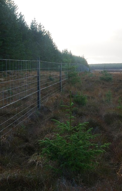
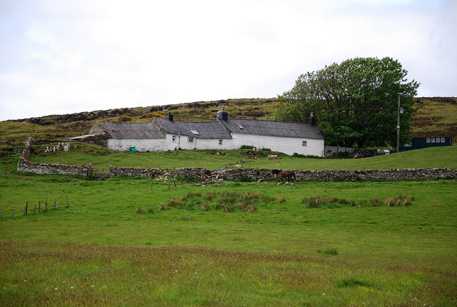
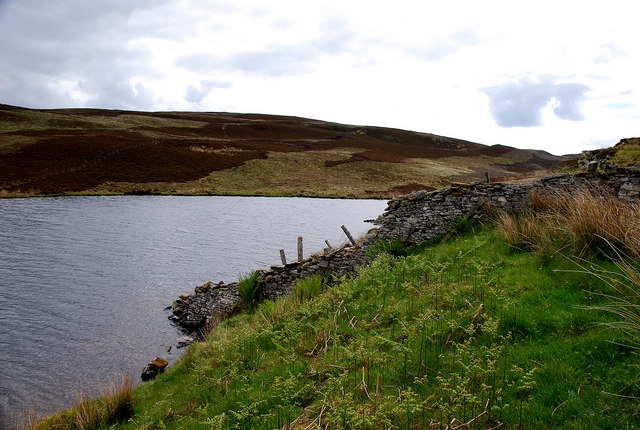
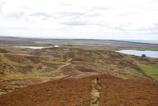
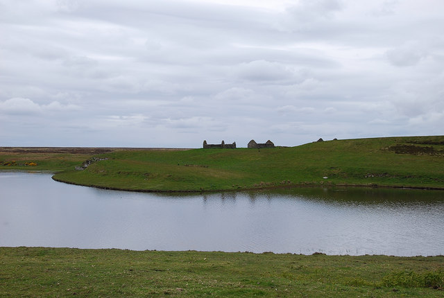
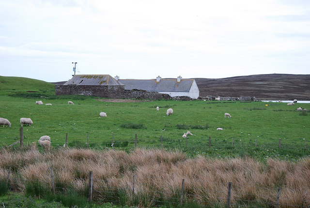
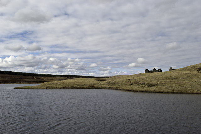
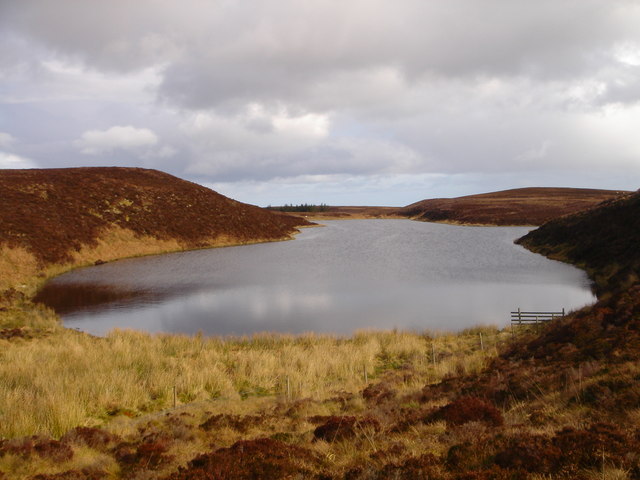
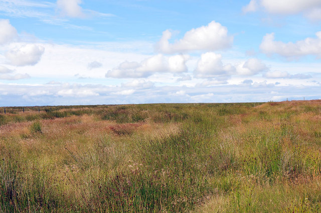
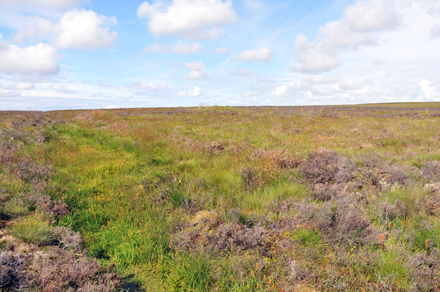
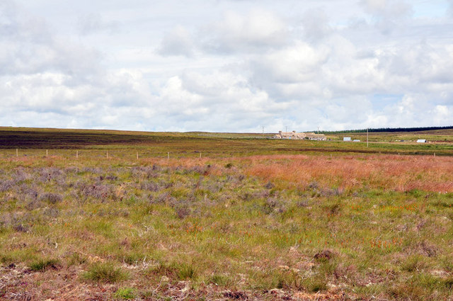
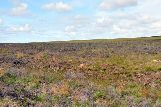
Loch Brickigoe is a small freshwater loch located near the village of Lybster in Caithness, Scotland. The loch is surrounded by rolling hills and lush greenery, creating a picturesque and tranquil setting for visitors to enjoy.

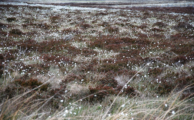
The water in Loch Brickigoe is clear and clean, making it an ideal habitat for a variety of freshwater species. The loch is home to a diverse range of wildlife, including fish, waterfowl, and other aquatic creatures. Birdwatchers will appreciate the opportunity to spot species such as ducks, swans, and herons in and around the loch.

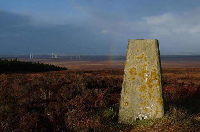
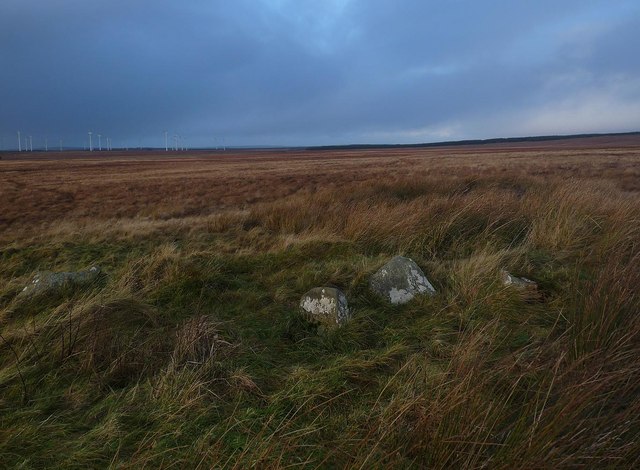
The surrounding area of Loch Brickigoe is popular for hiking, fishing, and birdwatching. Visitors can explore the scenic walking trails that wind around the loch, offering stunning views of the surrounding landscape. Fishing enthusiasts can try their luck at catching trout or other fish species that inhabit the loch.

Overall, Loch Brickigoe is a peaceful and idyllic destination for nature lovers and outdoor enthusiasts looking to immerse themselves in the beauty of the Scottish countryside.

If you have any feedback on the listing, please let us know in the comments section below.

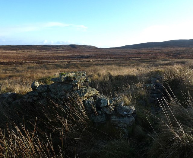
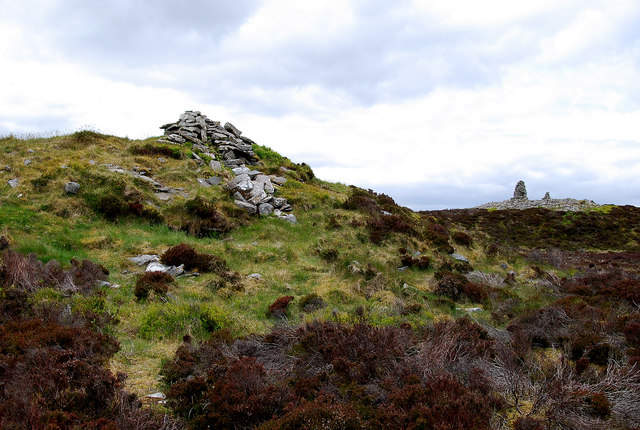
Loch Brickigoe Images

Images are sourced within 2km of 58.378391/-3.1968617 or Grid Reference ND3043. Thanks to Geograph Open Source API. All images are credited.

Cotton Grass The moorlands in the vicinity of Yarrows were awash with patches of pretty  cotton grass bobbing their soft white heads. This is a particularly good one.
Cotton Grass
The moorlands in the vicinity of Yarrows were awash with patches of pretty cotton grass bobbing their soft white heads. This is a particularly good one.
Triangulation pillar, Hill of Yarrows, Caithness Looking towards the Camster windfarm.
Triangulation pillar, Hill of Yarrows, Caithness
Looking towards the Camster windfarm.
Forest boundary fence, Yarrows, Caithness
Shieling site near Camster, Caithness Looking towards Camster windfarm (which does not show on the current OS map, as viewed on Get-a-map 06/12/13).
These shieling hut remains are the most visible in a group of hut and pen remains.  Further details are at <span class="nowrap"><a title="http://canmore.rcahms.gov.uk/en/site/270541/details/achairn+burn" rel="nofollow ugc noopener" href="http://canmore.rcahms.gov.uk/en/site/270541/details/achairn+burn">Link</a><img style="margin-left:2px;" alt="External link" title="External link - shift click to open in new window" src="https://s1.geograph.org.uk/img/external.png" width="10" height="10"/></span> .
Shieling site near Camster, Caithness
Looking towards Camster windfarm (which does not show on the current OS map, as viewed on Get-a-map 06/12/13). These shieling hut remains are the most visible in a group of hut and pen remains. Further details are at LinkExternal link .
Ruined farmstead below Hill of Yarrows, Caithness The building was already unroofed in 1871 at the time of the survey for the 1st edition of the OS six-inch map.  A description of the farmstead is available at <span class="nowrap"><a title="http://canmore.rcahms.gov.uk/en/site/97715/details/hill+of+yarrows" rel="nofollow ugc noopener" href="http://canmore.rcahms.gov.uk/en/site/97715/details/hill+of+yarrows">Link</a><img style="margin-left:2px;" alt="External link" title="External link - shift click to open in new window" src="https://s1.geograph.org.uk/img/external.png" width="10" height="10"/></span> .
Ruined farmstead below Hill of Yarrows, Caithness
The building was already unroofed in 1871 at the time of the survey for the 1st edition of the OS six-inch map. A description of the farmstead is available at LinkExternal link .
South Yarrows Very much a working croft with stock.
South Yarrows
Very much a working croft with stock.
Loch of Yarrows The Head of the reservoir looking towards Battle Moss with its wealth of iron age features.
Loch of Yarrows
The Head of the reservoir looking towards Battle Moss with its wealth of iron age features.
Chambered Cairn Shows a chambered cairn known as Warehouse South, on the summit of Warehouse Hill, Yarrows, looking towards a large Bronze Age cairn, known as Warehouse West. The tall 'marker cairns' are modern.
Chambered Cairn
Shows a chambered cairn known as Warehouse South, on the summit of Warehouse Hill, Yarrows, looking towards a large Bronze Age cairn, known as Warehouse West. The tall 'marker cairns' are modern.
The Yarrows Archaeological Trail Looking north along the trail with Loch of Yarrows to the east and Loch Brickigoe to the west.
The Yarrows Archaeological Trail
Looking north along the trail with Loch of Yarrows to the east and Loch Brickigoe to the west.
Loch Brickigoe Reflections of the ruined croft buildings in the calm waters.
Loch Brickigoe
Reflections of the ruined croft buildings in the calm waters.
North Yarrows Three crofts with the name Yarrows - south, west and north but no east as there appears to be no buildings on that side of the loch.
North Yarrows
Three crofts with the name Yarrows - south, west and north but no east as there appears to be no buildings on that side of the loch.
South Yarrows
South Yarrows
Ruins by Loch Brickigoe
Loch of Warehouse A remote loch in the area known as Yarrows.
Loch of Warehouse
A remote loch in the area known as Yarrows.
Moorland near Loch Brickigoe
Moorland near Oliclate
View across the moorland to Oliclate
Moorland near Oliclate
Show me another place!

Loch Brickigoe is located at Grid Ref: ND3043 (Lat: 58.378391, Lng: -3.1968617)

Unitary Authority: Highland

Police Authority: Highlands and Islands

What 3 Words

///picnic.plus.mixed. Near Wick, Highland

Related Wikis

Welsh's Crossing Halt railway station

Welsh's Crossing Halt was a railway station located south of Thrumster, Highland between Wick and Lybster. == History == The station was opened as part...

Achairn Burn

Achairn Burn, known also as Haster Burn, is one of the major tributaries of Wick River, in Caithness, in the Highland area of Scotland. The burn's source...

Ulbster

Ulbster is a scattered crofting hamlet on the eastern coast of Caithness, within the parish of Wick, in the Scottish Highlands, within the Highland Council...

Ulbster railway station

Ulbster was a railway station located at Ulbster, Highland, between Wick and Lybster. == History == The station was opened as part of the Wick and Lybster...

Nearby Amenities

Located within 500m of 58.378391,-3.1968617
Power: pole
Lat/Long: 58.3827065/-3.1954331
Power: pole
Lat/Long: 58.3820955/-3.1950088
Power: pole
Lat/Long: 58.3814707/-3.1946859
Power: pole
Lat/Long: 58.3808544/-3.1943347
Power: pole
Lat/Long: 58.3802316/-3.1940098
Power: pole
Lat/Long: 58.3794609/-3.1935915
Power: pole
Lat/Long: 58.3789808/-3.1933459
Power: pole
Lat/Long: 58.3778183/-3.1923408
Power: pole
Lat/Long: 58.3770742/-3.1915469
Power: pole
Lat/Long: 58.3763662/-3.1907693
The data included in this document is from www.openstreetmap.org. The data is made available under ODbL.

Have you been to Loch Brickigoe?

Leave your review of Loch Brickigoe below (or comments, questions and feedback).