Mitchell Strip
Wood, Forest in Midlothian
Scotland
Mitchell Strip

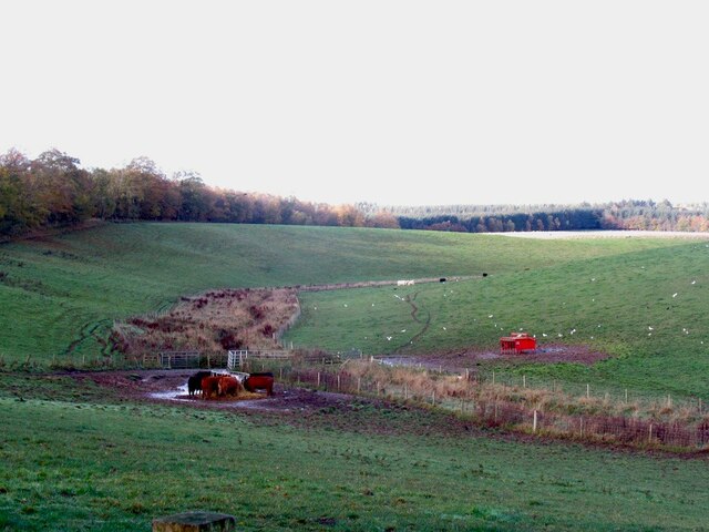
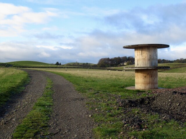
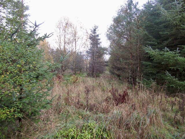
Mitchell Strip, located in Midlothian, is a picturesque woodland area known for its scenic beauty and rich biodiversity. Covering an area of approximately 200 acres, this woodland strip is a popular destination for nature lovers and outdoor enthusiasts.
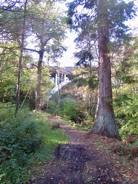
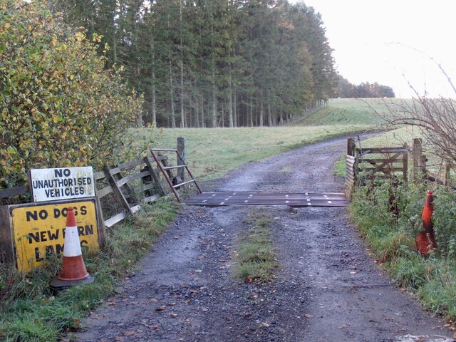
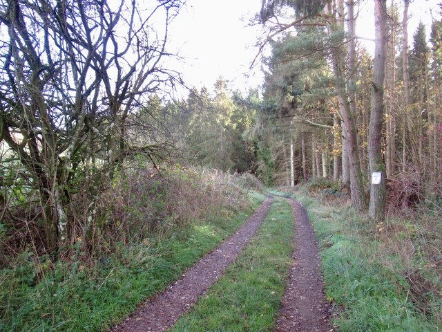
The wood is predominantly composed of a variety of native tree species, including oak, beech, and birch, which create a captivating canopy of greenery. The forest floor is covered in a thick carpet of moss, ferns, and wildflowers, adding to the enchanting atmosphere of the area.
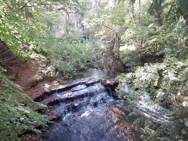
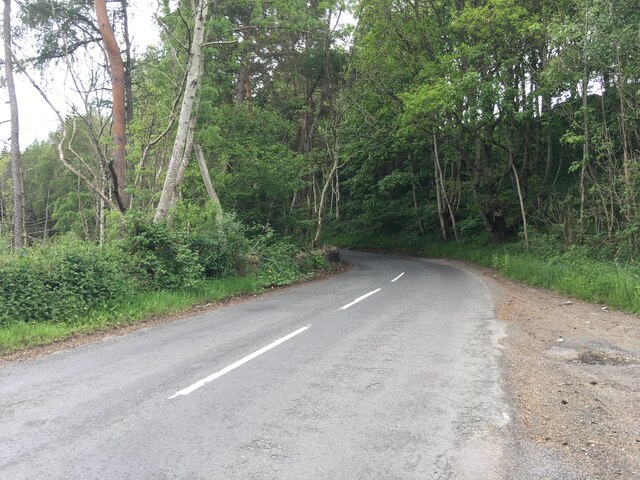
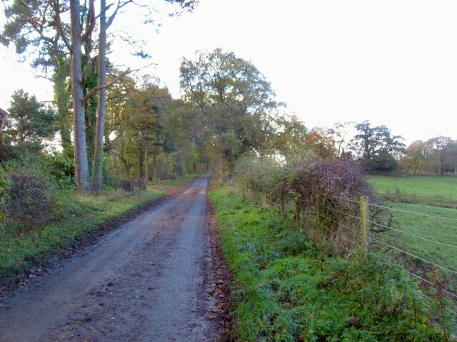
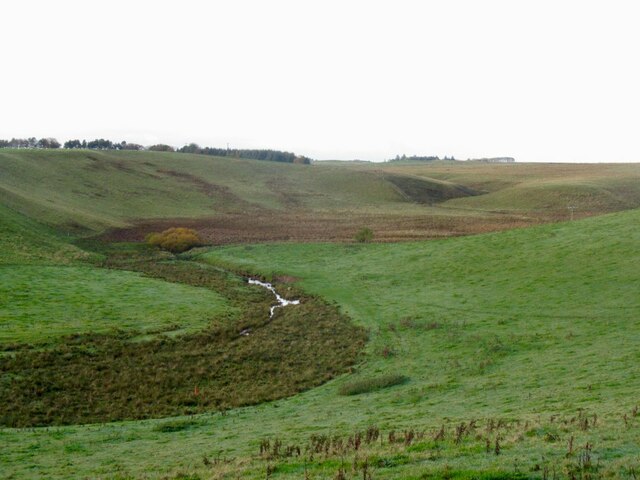
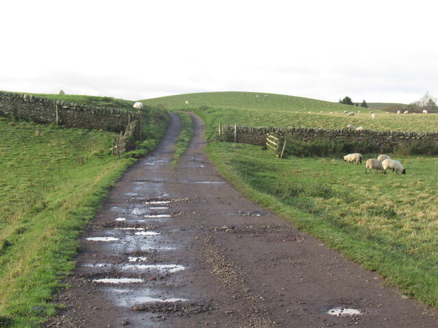
The woodland is intersected by several walking trails, providing visitors with the opportunity to explore the natural surroundings. These trails are well-maintained and offer different levels of difficulty, catering to both casual strollers and avid hikers. Along the way, visitors may come across babbling brooks, serene ponds, and even small waterfalls, enhancing the tranquility of the experience.
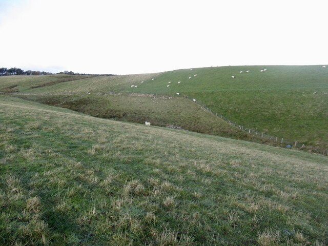
Mitchell Strip is also home to a diverse range of wildlife. Birdwatchers can spot various species, such as woodpeckers, robins, and owls, while lucky visitors may catch a glimpse of deer, foxes, or squirrels. The wood is carefully managed to maintain its ecological balance and preserve the habitats of these creatures.
In addition to its natural beauty, Mitchell Strip offers educational opportunities for visitors. The Midlothian Woodland Trust organizes guided tours and educational programs to raise awareness about the importance of woodland conservation and sustainable forestry practices.
Overall, Mitchell Strip in Midlothian is a haven for nature enthusiasts, providing a serene and captivating environment for exploration and appreciation of the region's natural wonders.
If you have any feedback on the listing, please let us know in the comments section below.
Mitchell Strip Images
Images are sourced within 2km of 55.814764/-3.1158074 or Grid Reference NT3058. Thanks to Geograph Open Source API. All images are credited.


Mitchell Strip is located at Grid Ref: NT3058 (Lat: 55.814764, Lng: -3.1158074)
Unitary Authority: Midlothian
Police Authority: The Lothians and Scottish Borders
What 3 Words
///laptop.blueberry.wiring. Near Rosewell, Midlothian
Nearby Locations
Related Wikis

Edgelaw Reservoir
Edgelaw Reservoir is an artificial reservoir in Midlothian, Scotland, UK, four miles west of Temple. It was created in 1880 by James Leslie and his son...

Midlothian (UK Parliament constituency)
Midlothian in Scotland is a county constituency of the House of Commons of the Parliament of the United Kingdom. It elects one Member of Parliament (MP...

Temple, Midlothian
Temple (Scottish Gaelic: Baile nan Trodach) is a village and civil parish in Midlothian, Scotland. Situated to the south of Edinburgh, the village lies...

Carrington, Midlothian
Carrington is a small, rural village in Midlothian, Scotland. It is located to the south of Bonnyrigg. The civil parish of the same name has a population...

Arniston House
Arniston House is a historic house in Midlothian, Scotland, near the village of Temple. This Georgian mansion was designed by William Adam in 1726 for...

Rosslynlee Hospital
Rosslynlee Hospital was a mental health facility near Roslin, Midlothian in Scotland. The main hospital building is a Grade C listed building. Rosslynlee...

Rosslynlee railway station
Rosslynlee railway station served the village of Roslin, Midlothian, Scotland from 1855 to 1962 on the Peebles Railway. == History == The station opened...
Rosewell, Midlothian
Rosewell is a former mining village in Midlothian, Scotland, east of Roslin and south-west of Bonnyrigg. The village is in the civil parish of Lasswade...
Nearby Amenities
Located within 500m of 55.814764,-3.1158074Have you been to Mitchell Strip?
Leave your review of Mitchell Strip below (or comments, questions and feedback).