Chesters Bog Wood

Wood, Forest in Midlothian

Scotland

Chesters Bog Wood

Road from Dalhousie Chesters
Road from Dalhousie Chesters Credit: Richard Webb

Chesters Bog Wood is a small woodland located in Midlothian, Scotland. Situated near the village of Rosewell, it covers an area of approximately 12 hectares. The wood is known for its unique bog habitat, which supports a diverse range of flora and fauna.

The main feature of Chesters Bog Wood is the presence of peat bogs. These bogs are formed over centuries as dead plant material accumulates and decomposes in waterlogged conditions. The resulting acidic and nutrient-poor environment provides a home for specialized plant species, such as sphagnum moss, bog cotton, and sundews. These plants have adapted to the low-nutrient conditions and often form dense mats on the surface of the bog.

The wood itself consists primarily of birch and willow trees, with some areas of coniferous plantation. The trees provide habitat for a variety of bird species, including woodpeckers, tits, and finches. Additionally, the woodland is home to small mammals such as voles and shrews, which thrive in the undergrowth.

Chesters Bog Wood is a popular destination for nature enthusiasts and birdwatchers. Its peaceful atmosphere and unique ecosystem make it an ideal place for quiet walks and wildlife observation. The wood is accessible via a network of footpaths, which allow visitors to explore both the bog and the surrounding woodland.

Efforts are being made to preserve and protect Chesters Bog Wood, as it is considered an important example of a bog habitat in Midlothian. Conservation initiatives focus on maintaining the delicate balance of the ecosystem and preventing the encroachment of non-native plant species.

If you have any feedback on the listing, please let us know in the comments section below.

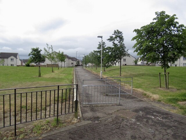
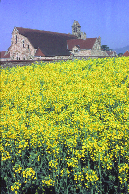
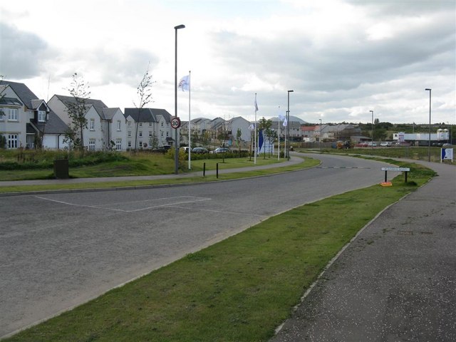
Chesters Bog Wood Images

Images are sourced within 2km of 55.858582/-3.1172709 or Grid Reference NT3063. Thanks to Geograph Open Source API. All images are credited.

Road from Dalhousie Chesters
Auld Coal Terrace New houses seen from Burnbank Park, the site of Polton Colliery.  The Pittendriech Burn flows under the park through a culvert.
Auld Coal Terrace
New houses seen from Burnbank Park, the site of Polton Colliery. The Pittendriech Burn flows under the park through a culvert.
Burn under Burnbank Park The Pittendriech Burn runs through a culvert under a park built with colliery waste.
Burn under Burnbank Park
The Pittendriech Burn runs through a culvert under a park built with colliery waste.
Bridge over the Pittendriech Burn New houses on the edge of Bonnyrigg. The burn runs under the colliery waste of Burnbank Park.
Bridge over the Pittendriech Burn
New houses on the edge of Bonnyrigg. The burn runs under the colliery waste of Burnbank Park.
Path beside the Pittendriech Burn An icy path heading for nowhere - well a very muddy informal path into Little Wood. The message is clear - more houses to come.
Path beside the Pittendriech Burn
An icy path heading for nowhere - well a very muddy informal path into Little Wood. The message is clear - more houses to come.
Building in Little Wood The current edge of Bonnyrigg. There was once a reservoir in the wood, presumably connected with the nearby Polton Colliery.
Building in Little Wood
The current edge of Bonnyrigg. There was once a reservoir in the wood, presumably connected with the nearby Polton Colliery.
Field near Dalhousie Chesters Very much in the sights of the developers.
Field near Dalhousie Chesters
Very much in the sights of the developers.
Field near Dalhousie Chesters Very much in the sights of the developers.
Field near Dalhousie Chesters
Very much in the sights of the developers.
Field near Dalhousie Chesters One of the surviving fields within the Bonnyrigg Distributor Road.  For now.
Field near Dalhousie Chesters
One of the surviving fields within the Bonnyrigg Distributor Road. For now.
Track, Dalhousie Chesters Almost certain to be developed for housing.
Track, Dalhousie Chesters
Almost certain to be developed for housing.
Track, Dalhousie Chesters With boreholes nearby, it appears that this will one day be built up.
Track, Dalhousie Chesters
With boreholes nearby, it appears that this will one day be built up.
Winter cereals, Dalhousie Chesters Field on the edge of Bonnyrigg and within the distribution road so no doubt in the sights of the developers during this period of rapid urbanisation.
Winter cereals, Dalhousie Chesters
Field on the edge of Bonnyrigg and within the distribution road so no doubt in the sights of the developers during this period of rapid urbanisation.
Path, Bonnyrigg To the Auld Coal residential streets recently built to the south.
Path, Bonnyrigg
To the Auld Coal residential streets recently built to the south.
Penicuik to Musselburgh Path
Danger! The tar changed colour! Because the Heras did not block the road many people braved the hazardous colour.  (A section was resurfaced and the signs had not been fully removed)
Danger!
The tar changed colour! Because the Heras did not block the road many people braved the hazardous colour. (A section was resurfaced and the signs had not been fully removed)
Castell Maynes Crescent New houses by the rails to trails path, Bonnyrigg.
Castell Maynes Crescent
New houses by the rails to trails path, Bonnyrigg.
Penicuik to Musselburgh Path Passing Castell Maynes Crescent.
Penicuik to Musselburgh Path
Passing Castell Maynes Crescent.
Field, Dalhousie Chesters For how much longer? There are boreholes and it is within a bypass.
Field, Dalhousie Chesters
For how much longer? There are boreholes and it is within a bypass.
Show me another place!

Chesters Bog Wood is located at Grid Ref: NT3063 (Lat: 55.858582, Lng: -3.1172709)

Unitary Authority: Midlothian

Police Authority: The Lothians and Scottish Borders

What 3 Words

///plantings.papers.decays. Near Rosewell, Midlothian

Related Wikis

Whitehill Welfare F.C.

Whitehill Welfare Football Club is a football club based in the village of Rosewell, Midlothian, Scotland. They are members of the East of Scotland Football...

Rosewell and Hawthornden railway station

Rosewell and Hawthornden railway station served the village of Rosewell, Midlothian, Scotland from 1855 to 1962 on the Peebles Railway. == History == The...

Rosewell, Midlothian

Rosewell is a former mining village in Midlothian, Scotland, east of Roslin and south-west of Bonnyrigg. The village is in the civil parish of Lasswade...

Polton

Polton is a village located in Lasswade parish, Midlothian, Scotland, anciently a superiority of the Ramsay family, cadets of Dalhousie. In 1618 David...

Hawthornden Castle

Hawthornden Castle is located on the River North Esk in Midlothian, Scotland. The castle lies a mile to the east of Roslin at grid reference NT287637,...

Hopefield, Bonnyrigg

Hopefield is an area in the south of Bonnyrigg, Midlothian, occupied by a mid-20th century residential neighbourhood and by an early-21st century, ongoing...

Lasswade High School Centre

Lasswade High School is a non-denominational secondary state school in Bonnyrigg, Midlothian, Scotland. == History == A parish school was first established...

Bonnyrigg railway station

Bonnyrigg railway station was a railway station that served the town of Bonnyrigg, Midlothian, Scotland from 1855 to 1965 on the Peebles Railway. ��2...

Nearby Amenities

Located within 500m of 55.858582,-3.1172709
Barrier: bollard
Bicycle: yes
Foot: yes
Lat/Long: 55.8613507/-3.1214925
Barrier: bollard
Bicycle: yes
Foot: yes
Lat/Long: 55.86098/-3.1220704
The data included in this document is from www.openstreetmap.org. The data is made available under ODbL.

Have you been to Chesters Bog Wood?

Leave your review of Chesters Bog Wood below (or comments, questions and feedback).