Launchy Tarn

Lake, Pool, Pond, Freshwater Marsh in Cumberland Allerdale

England

Launchy Tarn

A591 at old milepost
A591 at old milepost Credit: Colin Pyle

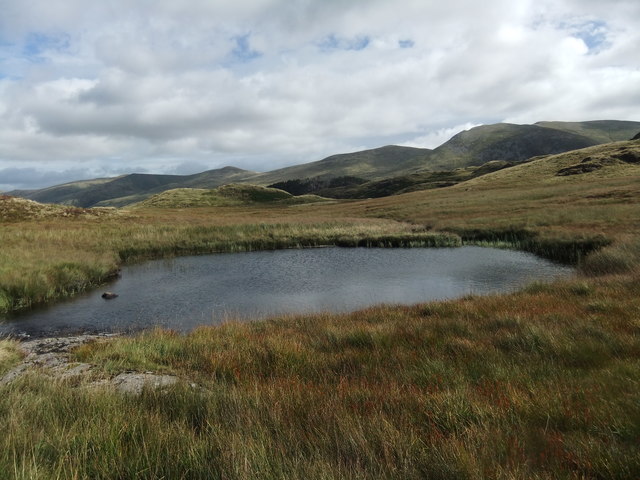
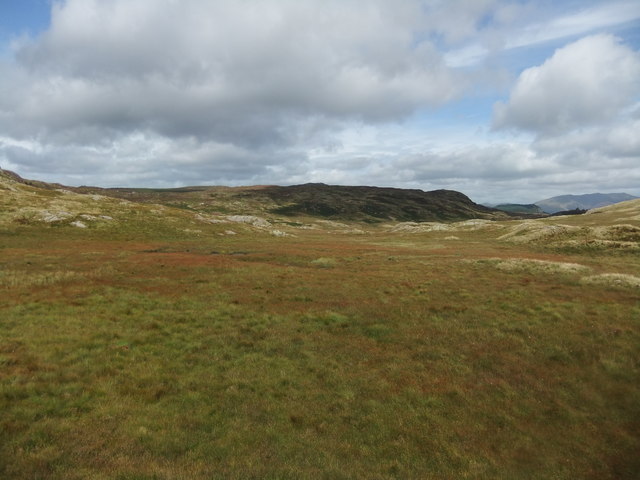
Launchy Tarn is a small freshwater lake located in the county of Cumberland in the Lake District National Park in northwestern England. The tarn is situated at an elevation of approximately 1,300 feet above sea level, surrounded by picturesque rolling hills and lush greenery.

The tarn is quite small, with a surface area of about 2 acres, making it a peaceful and tranquil spot for visitors to enjoy the natural beauty of the Lake District. The water in Launchy Tarn is crystal clear and is fed by natural springs, providing a habitat for a variety of aquatic plants and wildlife.

Visitors to Launchy Tarn can enjoy fishing for brown trout, as the tarn is stocked with this species. The tarn is also a popular spot for birdwatching, with a variety of bird species such as ducks, geese, and swans often seen around the water's edge.

Overall, Launchy Tarn is a hidden gem in the Lake District, offering a serene and idyllic setting for nature enthusiasts and outdoor lovers to explore and appreciate the beauty of the English countryside.

If you have any feedback on the listing, please let us know in the comments section below.
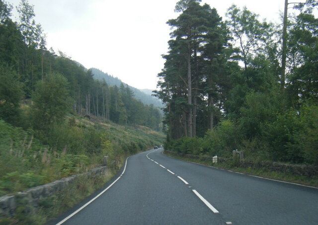
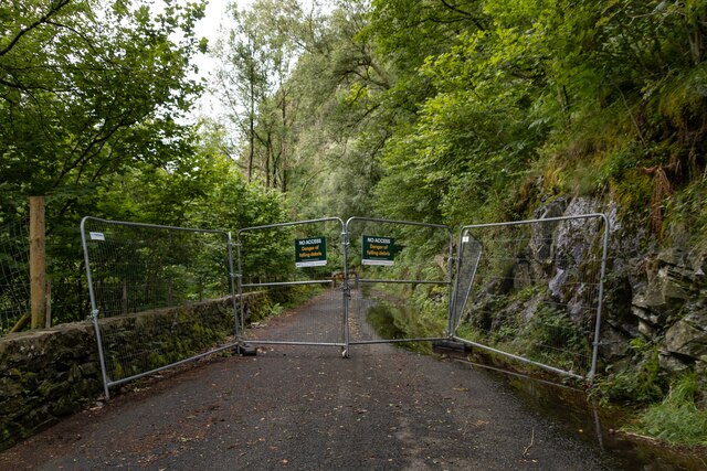
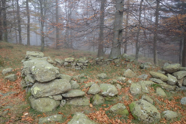
Launchy Tarn Images

Images are sourced within 2km of 54.525529/-3.080777 or Grid Reference NY3015. Thanks to Geograph Open Source API. All images are credited.

A591 at old milepost
Launchy Gill Footbridge over Launchy Gill.
Launchy Gill
Footbridge over Launchy Gill.
Thirlmere Hawes How Island on Thirlmere.
Thirlmere
Hawes How Island on Thirlmere.
Launchy Gill
Launchy Gill
Thirlmere
Thirlmere
Thirlmere Road alongside Thirlmere, currently closed due to rockfall.
Thirlmere
Road alongside Thirlmere, currently closed due to rockfall.
Old Milepost by the A591, Thirlmere Cast iron post by the A591, in parish of St Johns, Castlerigg and Wythburn (Allerdale District), Thirlmere, against wall, on West side of road. Ambleside casting, erected by the Ambleside turnpike trust in the 19th century. 

Inscription reads:-
: KESWICK / 7 / MILES : : AMBLESIDE / 9 / W_MERE / 14 / MILES : : THIRLMERE : 

Milestone Society National ID: CU_KWWM07
Old Milepost by the A591, Thirlmere
Cast iron post by the A591, in parish of St Johns, Castlerigg and Wythburn (Allerdale District), Thirlmere, against wall, on West side of road. Ambleside casting, erected by the Ambleside turnpike trust in the 19th century. Inscription reads:- : KESWICK / 7 / MILES : : AMBLESIDE / 9 / W_MERE / 14 / MILES : : THIRLMERE : Milestone Society National ID: CU_KWWM07
Thirlmere I think
Thirlmere
I think
Ruin above Mosshause Gill May be an old fold. Near the exit from the forest on to the open fellside.
Ruin above Mosshause Gill
May be an old fold. Near the exit from the forest on to the open fellside.
By Thirlmere Autumn in full swing
By Thirlmere
Autumn in full swing
Launchy Tarn A delightful spot off the beaten track and enhanced by the sound of gently running water.
Launchy Tarn
A delightful spot off the beaten track and enhanced by the sound of gently running water.
Launchy Gill from near Stone Hause The map shows a tarn here and there are frequent small areas of standing water but no tarn-just a bog.
Launchy Gill from near Stone Hause
The map shows a tarn here and there are frequent small areas of standing water but no tarn-just a bog.
Woodland at Hause Point This is a view towards Thirlmere Reservoir and the narrow road on the west side of the water. For a view from the road into the wood, see <a href="https://www.geograph.org.uk/photo/3232480">NY3115 : Woodland Access near Hause Point Thirlmere</a>.
Woodland at Hause Point
This is a view towards Thirlmere Reservoir and the narrow road on the west side of the water. For a view from the road into the wood, see NY3115 : Woodland Access near Hause Point Thirlmere.
An RAF Tucano at Thirlmere The Turboprop Tucano is a 2-seat aircraft used by the RAF for training student fast-jet pilots. This was viewed from Rough Crag on the west side of Thirlmere Reservoir.
An RAF Tucano at Thirlmere
The Turboprop Tucano is a 2-seat aircraft used by the RAF for training student fast-jet pilots. This was viewed from Rough Crag on the west side of Thirlmere Reservoir.
Walking by Thirlmere Reservoir This view of the minor road on the west side of the reservoir was taken from Rough Crag.
Walking by Thirlmere Reservoir
This view of the minor road on the west side of the reservoir was taken from Rough Crag.
Thirlmere Reservoir from Rough Crag This was viewed from a rocky outcrop on a fine December morning.
Thirlmere Reservoir from Rough Crag
This was viewed from a rocky outcrop on a fine December morning.
Herdwick sheep at Rough Crag These sheep seemed to be quite happy grazing in a wooded area on the west side of Thirlmere Reservoir.
Herdwick sheep at Rough Crag
These sheep seemed to be quite happy grazing in a wooded area on the west side of Thirlmere Reservoir.
Small islands at Thirlmere Reservoir This telephoto shot was taken from Rough Crag. For a wider view showing the islands at the bottom right, see <a href="https://www.geograph.org.uk/photo/5216107">NY3115 : Thirlmere Reservoir from Rough Crag</a>
Small islands at Thirlmere Reservoir
This telephoto shot was taken from Rough Crag. For a wider view showing the islands at the bottom right, see NY3115 : Thirlmere Reservoir from Rough Crag
Show me another place!

Launchy Tarn is located at Grid Ref: NY3015 (Lat: 54.525529, Lng: -3.080777)

Administrative County: Cumbria

District: Allerdale

Police Authority: Cumbria

What 3 Words

///hissing.indulgent.pickles. Near Keswick, Cumbria

Nearby Locations

Launchy Tarn

Related Wikis

Armboth Fell

Armboth Fell is a fell in the English Lake District, regarded by Alfred Wainwright as the centre of Lakeland. It is named for the former settlement of...
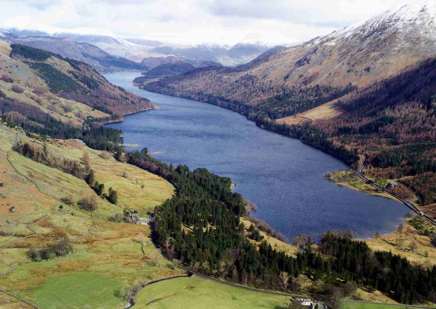
Thirlmere

Thirlmere is a reservoir in the Borough of Allerdale in Cumbria and the English Lake District. The Helvellyn ridge lies to the east of Thirlmere. To the...

High Tove

High Tove is a fell in the English Lake District, close to the geographical centre of the Cumbrian hills. It forms part of the watershed between the Derwentwater...

St John's, Castlerigg and Wythburn

St John's, Castlerigg and Wythburn is a civil parish in Allerdale district, Cumbria, England. In the 2011 census it was recorded as having a population...

Nearby Amenities

Located within 500m of 54.525529,-3.080777
Brown Rigg
Place: locality
Lat/Long: 54.5244877/-3.0736592
Bell Crags
Place: locality
Lat/Long: 54.5231765/-3.085506
Armboth Fell
Place: locality
Lat/Long: 54.5253565/-3.0880218
The data included in this document is from www.openstreetmap.org. The data is made available under ODbL.

Have you been to Launchy Tarn?

Leave your review of Launchy Tarn below (or comments, questions and feedback).