Ardgarth Loch

Lake, Pool, Pond, Freshwater Marsh in Angus

Scotland

Ardgarth Loch

Smith Loch and Smithton Hill Most of this square is a newly planted conifer plantation, broken up by heathery moorland. The swampy area of Smith Loch is the most prominent 'feature' in the landscape. Hard going.
Smith Loch and Smithton Hill Credit: Aleks Scholz

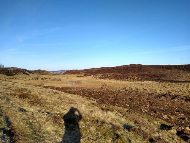
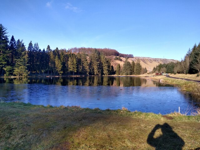
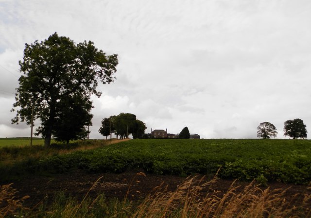
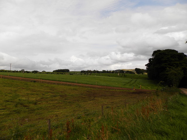
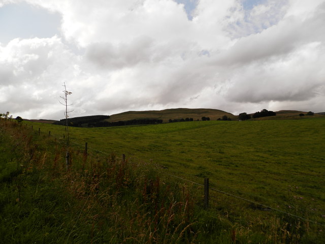
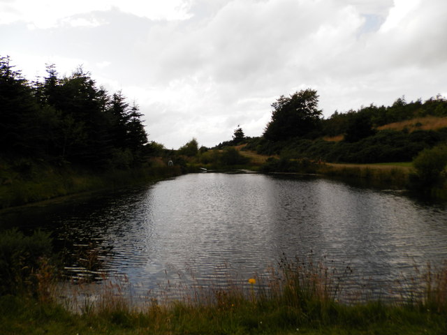
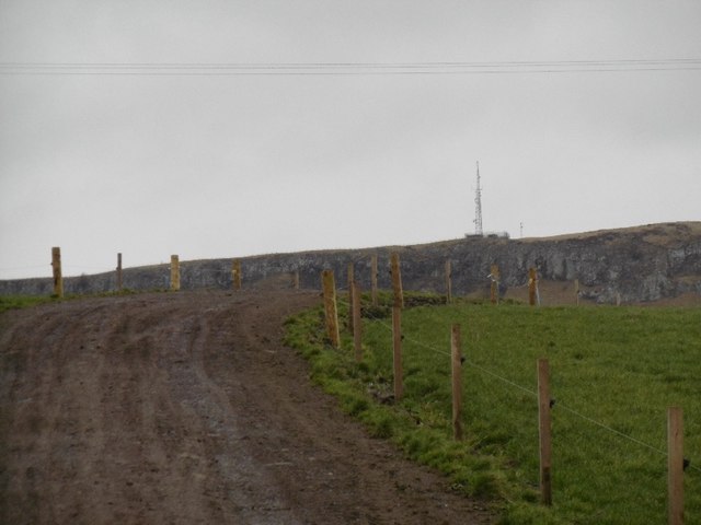
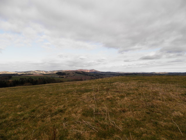
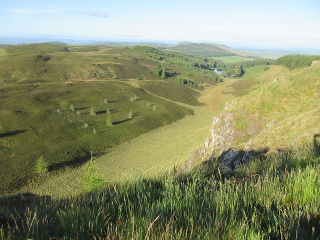
Ardgarth Loch is a picturesque freshwater loch located in the stunning county of Angus, Scotland. Nestled amidst rolling hills and verdant valleys, it covers an area of approximately 10 acres, making it a relatively small body of water. Despite its size, the loch boasts a tranquil and serene atmosphere, providing a haven for both wildlife and visitors alike.

The loch is surrounded by lush vegetation, including reeds and water lilies, offering a diverse habitat for numerous species of flora and fauna. It is particularly renowned for its birdlife, attracting an array of waterfowl such as mallards, swans, and coots. Birdwatchers may also catch a glimpse of the elusive heron or the elegant kingfisher, which are known to frequent the area.

Ardgarth Loch is a popular spot for anglers, as it is home to a variety of fish species, including pike, perch, and roach. Fishing enthusiasts can cast their lines from the banks or hire a boat to explore the deeper sections of the loch. However, it is important to note that a permit is required to fish in order to preserve the delicate ecosystem.

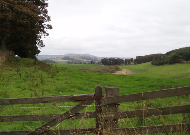
Visitors can enjoy the natural beauty of Ardgarth Loch by embarking on a leisurely stroll along its shores or picnicking on the grassy banks. The loch also offers opportunities for kayaking and canoeing, allowing visitors to explore the calm waters and admire the surrounding scenery from a different perspective.

Ardgarth Loch is a hidden gem in the Angus countryside, offering a peaceful retreat for nature lovers and a chance to immerse oneself in the breathtaking beauty of the Scottish landscape.

If you have any feedback on the listing, please let us know in the comments section below.

Ardgarth Loch Images

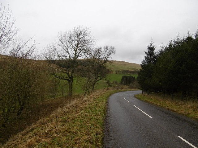
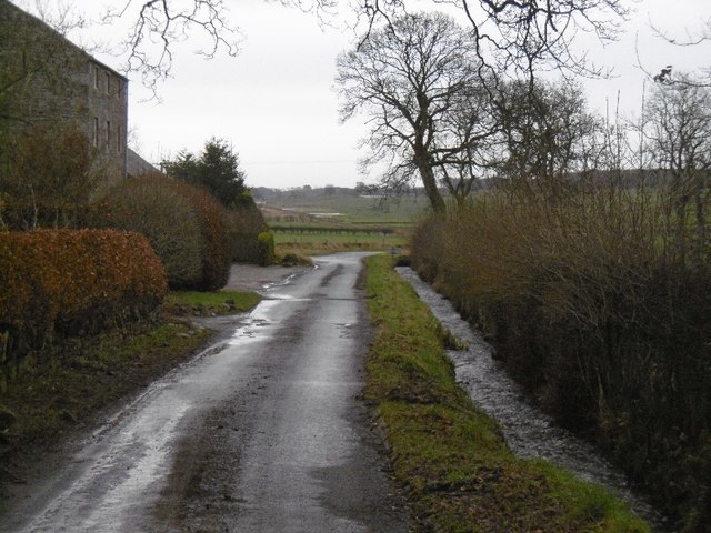
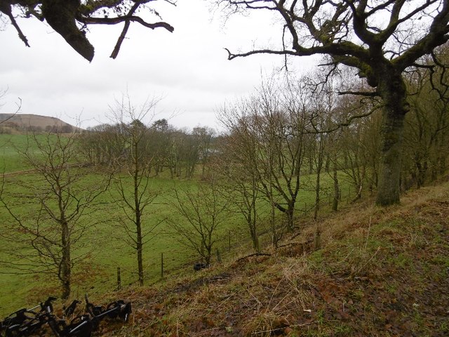
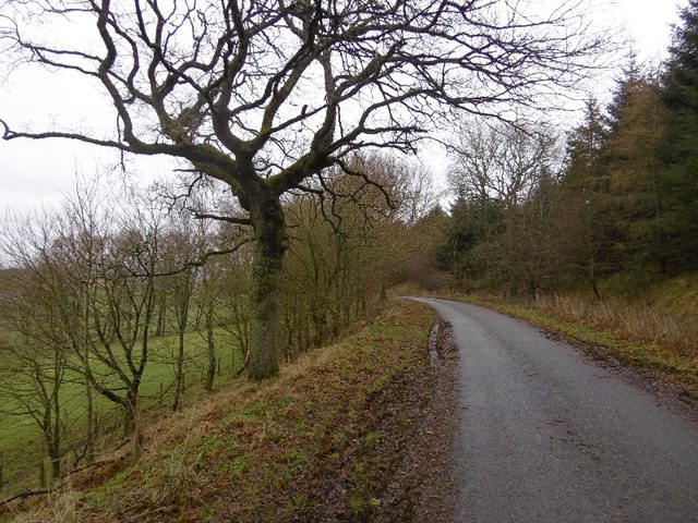
Images are sourced within 2km of 56.52395/-3.169276 or Grid Reference NO2837. Thanks to Geograph Open Source API. All images are credited.

Smith Loch and Smithton Hill Most of this square is a newly planted conifer plantation, broken up by heathery moorland. The swampy area of Smith Loch is the most prominent 'feature' in the landscape. Hard going.
Smith Loch and Smithton Hill
Most of this square is a newly planted conifer plantation, broken up by heathery moorland. The swampy area of Smith Loch is the most prominent 'feature' in the landscape. Hard going.
Tullybaccart viewpoint This small cairn marks the highest point of the land around the Tullybaccart quarry. The point is surrounded mostly by tree plantations. This is the view towards the south into Fife - the Lomond hills on the horizon on the right.
Tullybaccart viewpoint
This small cairn marks the highest point of the land around the Tullybaccart quarry. The point is surrounded mostly by tree plantations. This is the view towards the south into Fife - the Lomond hills on the horizon on the right.
Ledcrieff Loch The loch seen from the dam at its western edge.
Ledcrieff Loch
The loch seen from the dam at its western edge.
Ardgarth Hill The ridge next to Lundie Craigs is less rock, more heather, and only some isolated trees.
Ardgarth Hill
The ridge next to Lundie Craigs is less rock, more heather, and only some isolated trees.
Farmland at Kirkton of Lundie
Farmland near the village of Lundie
Upland farming near Lundie
Children's pond at Ledyatt
Old alignment, A923 The road was rebuilt taking out this bend sometime before 1959 according to old maps. Now this is a yellow road down to Lundie.
Old alignment, A923
The road was rebuilt taking out this bend sometime before 1959 according to old maps. Now this is a yellow road down to Lundie.
Lundie Road out of Lundie.
Lundie
Road out of Lundie.
Wooded roadside, Balshando Below a road into Lundie, the road is on an old alignment (pre 1959) of the A923.
Wooded roadside, Balshando
Below a road into Lundie, the road is on an old alignment (pre 1959) of the A923.
Minor road near Lundie This road was once the A923 before it was rebuilt further up the hill on the right.
Minor road near Lundie
This road was once the A923 before it was rebuilt further up the hill on the right.
Cow path near Lundie Lundie Craigs in the background.
Cow path near Lundie
Lundie Craigs in the background.
Road to Lundie From the west.
Road to Lundie
From the west.
Rough grazing near Ledyatt Loch
Field at Lochindores
From the top of Lundie Craigs Looking down from the top of Lundie Craigs near the antenna.
From the top of Lundie Craigs
Looking down from the top of Lundie Craigs near the antenna.
Westerkeith Hill Trig Pillar The triangulation pillar on Westerkeith Hill with the Lomond Hills in Fife in the background.
Westerkeith Hill Trig Pillar
The triangulation pillar on Westerkeith Hill with the Lomond Hills in Fife in the background.
Show me another place!

Ardgarth Loch is located at Grid Ref: NO2837 (Lat: 56.52395, Lng: -3.169276)

Unitary Authority: Angus

Police Authority: Tayside

What 3 Words

///fooling.passport.proclaims. Near Coupar Angus, Perth & Kinross

Related Wikis

Lundie Craigs

Lundie Craigs/Westerkeith Hill is one of the hills of the Sidlaw range in South East Perthshire.Lundie Craigs/Westerkeith Hill is located near Coupar Angus...

Lundie Kirk

Lundie Kirk was the parish church of Lundie, Angus, in Scotland from the 12th century until 2017. The church was constructed in Romanesque style in the...

Lundie

Lundie is a parish and small settlement in Angus, Scotland, 10 miles (16 km) northwest of Dundee, situated at the head of the Dighty valley in the Sidlaws...

Long Loch (Angus)

Long Loch is a small lowland freshwater loch within the Sidlaw Hills in Angus. It is 1.8 miles south of the village of Newtyle, three miles east-south...

Pitlyal Loch

Pitlyal Loch also known as Round Loch is a small lochan in Sidlaw Hills in Angus. It is located southeast of Long Loch and is almost directly south of...

Sidlaws

The Sidlaws are a range of hills in the counties of Perthshire and Angus in Scotland that extend for 30 miles (45 km) from Kinnoull Hill, near Perth, northeast...

Newtyle Hill

Newtyle Hill is a mountainous landform in the Sidlaw Hills in Angus, Scotland The vicinity has elements of prehistory including presence of the Eassie...

Pitcur

Pitcur is a hamlet at the eastern edge of Perth and Kinross, Scotland, about 2.5 miles (4.0 km) southeast of Coupar Angus.It is home to the ruined 16th...

Nearby Amenities

Located within 500m of 56.52395,-3.169276
Westerkeith Hill
Ele: 353
Man Made: survey_point
Natural: peak
Lat/Long: 56.5268939/-3.1703811
Ardgarth Hill
Ele: 320
Natural: peak
Lat/Long: 56.5214125/-3.1751914
Power: pole
Lat/Long: 56.5236171/-3.1624259
Power: pole
Lat/Long: 56.5239364/-3.1640676
Power: pole
Lat/Long: 56.5242571/-3.1656837
Power: pole
Lat/Long: 56.5245368/-3.1670616
Power: pole
Lat/Long: 56.5249324/-3.1689416
Power: pole
Lat/Long: 56.5254028/-3.1711621
Power: pole
Lat/Long: 56.525116/-3.1727706
Power: pole
Lat/Long: 56.5248165/-3.1744507
Power: pole
Lat/Long: 56.5245128/-3.1761463
Power: pole
Lat/Long: 56.5197149/-3.1672409
Power: pole
Lat/Long: 56.5203239/-3.1672461
Power: pole
Lat/Long: 56.5209357/-3.1672742
Power: pole
Lat/Long: 56.5211843/-3.166406
Power: pole
Lat/Long: 56.521132/-3.1656453
Power: pole
Lat/Long: 56.5210303/-3.1641265
Power: pole
Lat/Long: 56.5209568/-3.163248
Power: pole
Lat/Long: 56.5281038/-3.1680119
Power: pole
Lat/Long: 56.5278057/-3.1689032
Power: pole
Lat/Long: 56.5274427/-3.1700301
Power: pole
Lat/Long: 56.5270641/-3.171157
Power: pole
Lat/Long: 56.5267448/-3.1721738
Power: pole
Lat/Long: 56.5264595/-3.1730446
The data included in this document is from www.openstreetmap.org. The data is made available under ODbL.

Have you been to Ardgarth Loch?

Leave your review of Ardgarth Loch below (or comments, questions and feedback).