Champrach
Lake, Pool, Pond, Freshwater Marsh in Morayshire
Scotland
Champrach
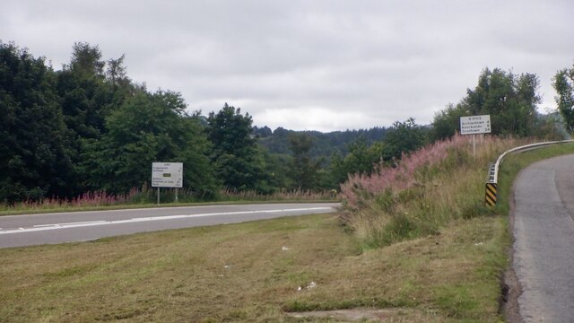
Champrach, Morayshire, is a picturesque freshwater marsh located in the northeastern region of Scotland. The marsh is nestled amidst the breathtaking natural beauty of the Morayshire countryside, offering visitors a tranquil and idyllic setting to immerse themselves in nature.
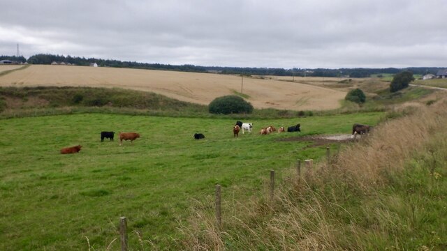
Spread over a vast area, Champrach is home to a diverse ecosystem, comprising a combination of a lake, pool, pond, and freshwater marsh. The marshland is characterized by its lush vegetation, including reeds, sedges, and grasses, which provide a nurturing habitat for an array of plant and animal species.
The centerpiece of Champrach is the serene lake, which serves as a vital water source for the surrounding wildlife. The lake is fed by several small rivers and streams, ensuring a constant flow of freshwater. The crystal-clear waters of the lake not only provide a stunning visual spectacle but also offer a habitat for various fish species, including trout and perch.
Adjacent to the lake, a tranquil pool and pond can be found, further enhancing the natural beauty of Champrach. These smaller bodies of water are teeming with life, attracting a plethora of bird species, such as ducks, swans, and herons. Birdwatchers and nature enthusiasts flock to Champrach to observe these magnificent creatures in their natural habitat.
Champrach, Morayshire, truly epitomizes the serene beauty of Scotland's countryside. The marshland's combination of a lake, pool, pond, and freshwater marsh provides a diverse and thriving ecosystem, offering visitors a unique opportunity to immerse themselves in the wonders of nature. Whether it is birdwatching, fishing, or simply enjoying the tranquil ambiance, Champrach is a must-visit destination for nature lovers.
If you have any feedback on the listing, please let us know in the comments section below.
Champrach Images
Images are sourced within 2km of 57.48155/-3.2000648 or Grid Reference NJ2844. Thanks to Geograph Open Source API. All images are credited.


Champrach is located at Grid Ref: NJ2844 (Lat: 57.48155, Lng: -3.2000648)
Unitary Authority: Moray
Police Authority: North East
What 3 Words
///pigtails.bombshell.flamed. Near Charlestown of Aberlour, Moray
Nearby Locations
Related Wikis

The Macallan distillery
The Macallan distillery is a single malt Scotch whisky distillery in Craigellachie in Moray in the north-east of Scotland. The Macallan Distillers Ltd...

Aberlour House (building)
Aberlour House is a country house near Aberlour in Moray, Scotland. It was built in 1838 by William Robertson for Alexander Grant, planter and merchant...

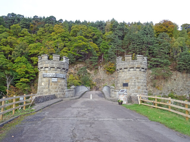
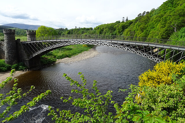
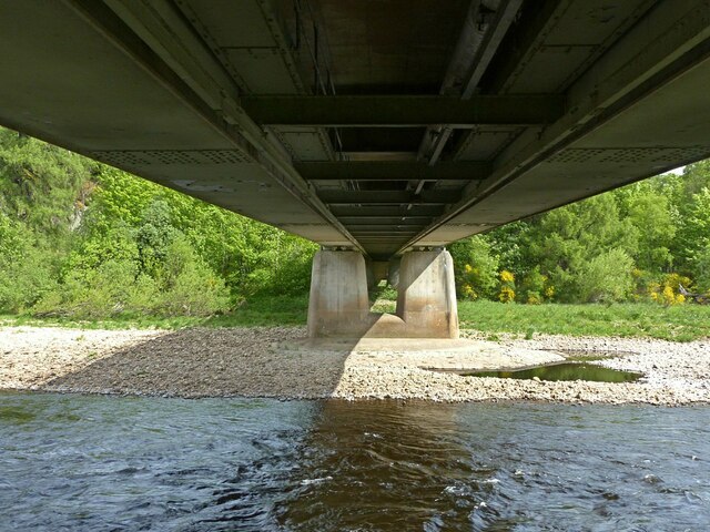
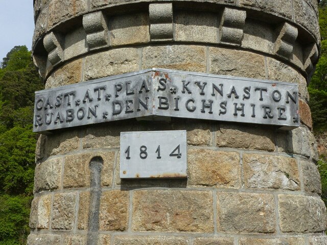
Craigellachie Bridge
Craigellachie Bridge is a cast iron arch bridge across the River Spey at Craigellachie, near to the village of Aberlour in Moray, Scotland. It was designed...
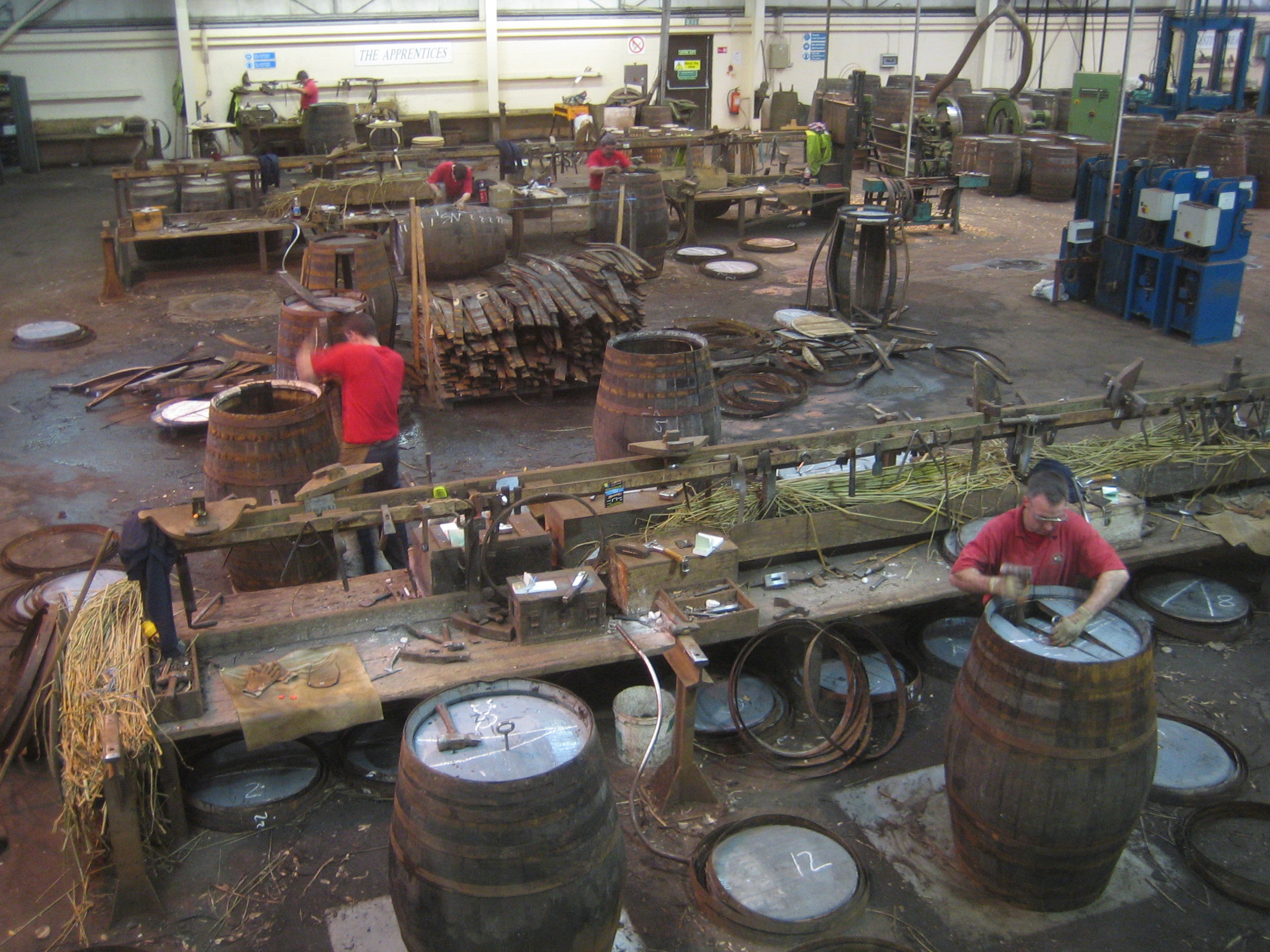
Speyside Cooperage
The Speyside Cooperage is a cooperage located in Craigellachie, Aberlour, Scotland. Its visitor centre, the only such in Britain, is part of the Malt Whisky...
Related Videos

Craigellachie Village Walk, Scotland Countryside 4K
Craigellachie Village Walk, Scotland Countryside 4K - Craigellachie is a small village in the centre of Moray Speyside that sits on ...

Tominachty, Craigellachie, Aberlour
A wonderful house & a boat ride on Loch Ness.

Scotch Whisky Trail - Scotland's Famous Highland Distilleries
Scotch Whisky is the most revered alcoholic drink in the world. But how is it made and what makes Scotch whisky taste so good?

Arriving at Speyside Gardens Caravan Park, Charlestown Of Aberlour, Speyside, Scotland
We travel from Blair Drummond Caravan Park to Speyside Gardens Caravan Park, Charlestown By Aberlour, Speyside, Scotland.
Nearby Amenities
Located within 500m of 57.48155,-3.2000648Have you been to Champrach?
Leave your review of Champrach below (or comments, questions and feedback).