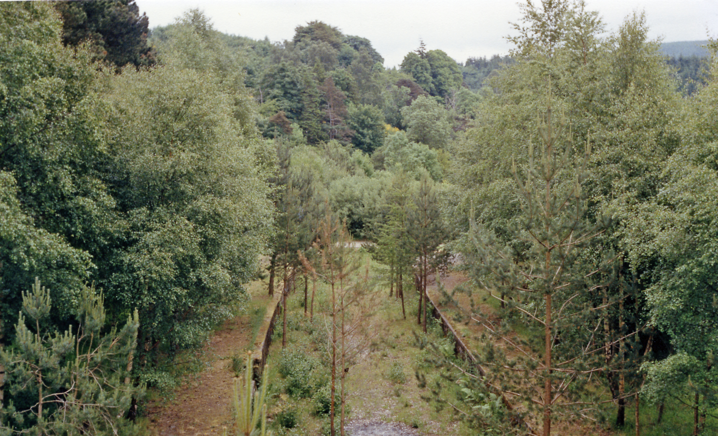
Tunnel Pool

Lake, Pool, Pond, Freshwater Marsh in Morayshire

Scotland

Tunnel Pool

Railway Bridge The bridge carried the Strathspey Railway over a minor burn.
Railway Bridge Credit: Anne Burgess

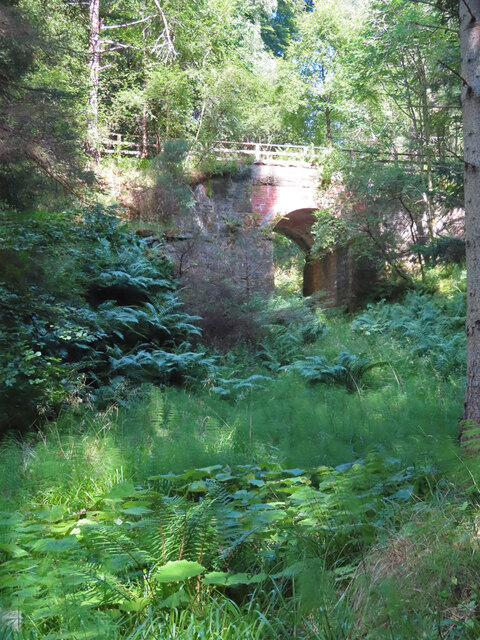
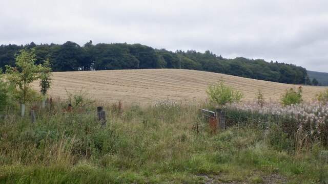
Tunnel Pool is a picturesque freshwater marsh located in Morayshire, a historic county in the northeast of Scotland. Nestled amidst the rolling hills and lush greenery, this enchanting pool is a haven for nature enthusiasts and wildlife lovers.

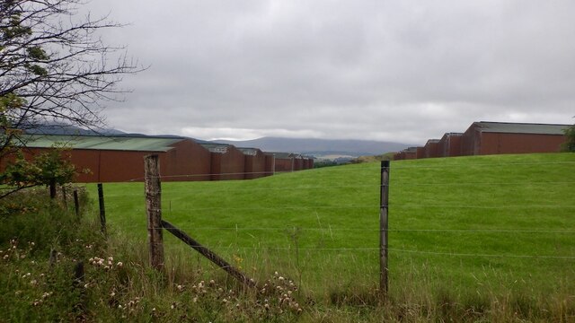
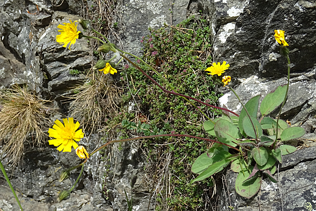
Covering an area of approximately 2 acres, Tunnel Pool is characterized by its crystal-clear water and abundant vegetation. The pool is surrounded by a dense growth of reeds, rushes, and sedges, which provide a perfect habitat for a diverse range of plant and animal species.

The pool itself is fed by underground springs, resulting in a constant flow of clean, freshwater. This natural water source ensures a thriving ecosystem, supporting a variety of aquatic life. Visitors can spot numerous species of fish, including brown trout and pike, which inhabit the pool's depths.

Tunnel Pool is also a popular nesting ground for birds, attracting a wide range of species throughout the year. Common sightings include mallards, moorhens, and coots, which nest amongst the reeds and utilize the pool for feeding and mating.

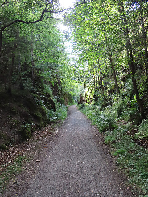
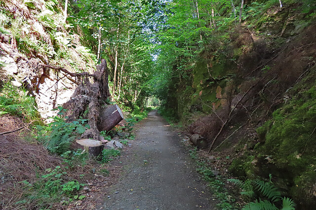
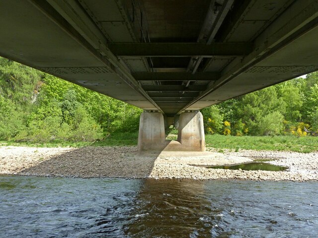
The pool is easily accessible, with a well-maintained path leading visitors to its tranquil shores. A wooden viewing platform offers a perfect vantage point for observing the wildlife without disturbing their natural habitat.

Tunnel Pool is a true gem of Morayshire, offering a serene and idyllic setting for visitors to immerse themselves in nature's beauty and marvel at the wonders of this freshwater marsh.

If you have any feedback on the listing, please let us know in the comments section below.
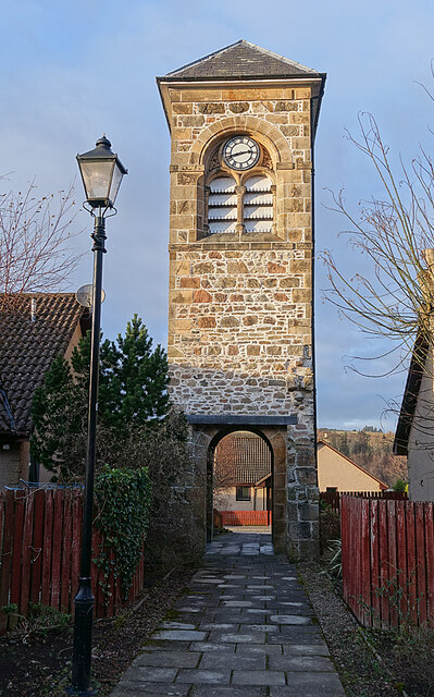
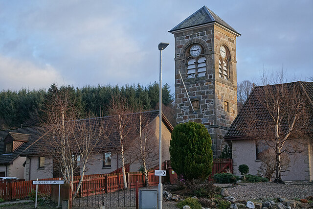
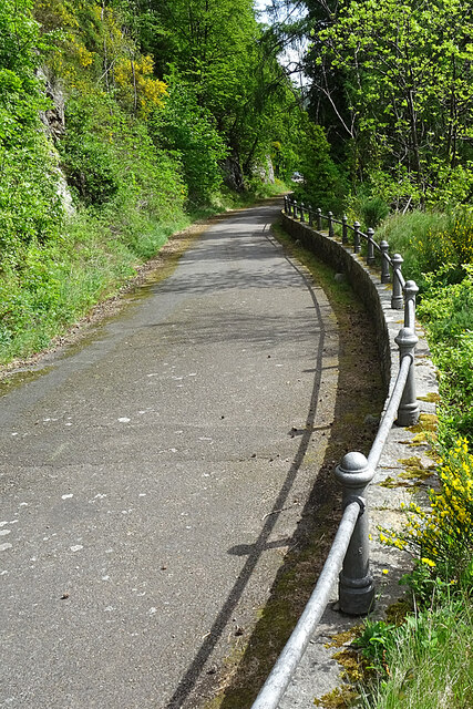
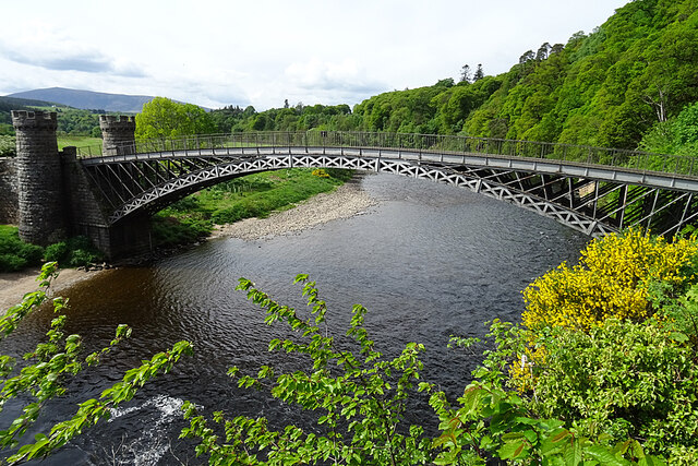
Tunnel Pool Images

Images are sourced within 2km of 57.484142/-3.1967472 or Grid Reference NJ2844. Thanks to Geograph Open Source API. All images are credited.

Railway Bridge The bridge carried the Strathspey Railway over a minor burn.
Railway Bridge
The bridge carried the Strathspey Railway over a minor burn.
Old Railway Cutting One of several deep cuttings on the route of the former Strathspey Railway that provide a pleasant shady walk on a hot day.
Old Railway Cutting
One of several deep cuttings on the route of the former Strathspey Railway that provide a pleasant shady walk on a hot day.
Fallen Tree The stump of a large tree sticks out at an angle into the former Strathspey Railway cutting. It must have obstructed the path significantly before being sawn into lengths which have been left lying on both sides of the path. The large one on the left gives some idea of the diameter of the trunk.
Fallen Tree
The stump of a large tree sticks out at an angle into the former Strathspey Railway cutting. It must have obstructed the path significantly before being sawn into lengths which have been left lying on both sides of the path. The large one on the left gives some idea of the diameter of the trunk.
B9102/A941 junction The B road climbs hard away from the Spey, soon passing the Macallan distillery.
B9102/A941 junction
The B road climbs hard away from the Spey, soon passing the Macallan distillery.
Macallan bonds
Macallan bonds
Harvested barley near Craigellachie Above the Macallan distillery looking towards Craigellachie Wood.
Harvested barley near Craigellachie
Above the Macallan distillery looking towards Craigellachie Wood.
Cattle beside the Burn of Sandyhillock Not sure about the burn name, it is shown as Burn of Ringorm downstream but the bridge just off shot to the right is Bridge of Sandyhillock.
Cattle beside the Burn of Sandyhillock
Not sure about the burn name, it is shown as Burn of Ringorm downstream but the bridge just off shot to the right is Bridge of Sandyhillock.
Craigellachie Bridge The southern approach to Craigellachie Bridge, designed by Thomas Telford and completed in 1814. Autumn colours are showing on the steep ground beyond.
Craigellachie Bridge
The southern approach to Craigellachie Bridge, designed by Thomas Telford and completed in 1814. Autumn colours are showing on the steep ground beyond.
Aberlour Orphanage Clock Tower The clock tower is the only part of the Aberlour Orphanage buildings that survives, cramped and hemmed in by modern housing. It is a Category C Listed building. See <span class="nowrap"><a title="http://portal.historicenvironment.scot/designation/LB20865" rel="nofollow ugc noopener" href="http://portal.historicenvironment.scot/designation/LB20865">Link</a><img style="margin-left:2px;" alt="External link" title="External link - shift click to open in new window" src="https://s1.geograph.org.uk/img/external.png" width="10" height="10"/></span> for details.
Aberlour Orphanage Clock Tower
The clock tower is the only part of the Aberlour Orphanage buildings that survives, cramped and hemmed in by modern housing. It is a Category C Listed building. See LinkExternal link for details.
Memorial to Aberlour Orphanage Each panel tells part of the story of the orphanage that stood on this site in the late 19th and first part of the 20th century.
Memorial to Aberlour Orphanage
Each panel tells part of the story of the orphanage that stood on this site in the late 19th and first part of the 20th century.
Farm Close Modern housing in a quiet cul-de-sac on the site of the former Aberlour Orphanage.
Farm Close
Modern housing in a quiet cul-de-sac on the site of the former Aberlour Orphanage.
Sinuous Railing The iron railing alongside the road on the left bank downstream from Craigellachie Bridge is still intact and seems to be in good condition.
Sinuous Railing
The iron railing alongside the road on the left bank downstream from Craigellachie Bridge is still intact and seems to be in good condition.
Craigellachie Bridge Designed by Thomas Telford, cast at Plas Kynaston in Wales, and erected in 1814. The bridge is a Category A listed building. See <span class="nowrap"><a title="http://portal.historicenvironment.scot/designation/LB2357" rel="nofollow ugc noopener" href="http://portal.historicenvironment.scot/designation/LB2357">Link</a><img style="margin-left:2px;" alt="External link" title="External link - shift click to open in new window" src="https://s1.geograph.org.uk/img/external.png" width="10" height="10"/></span> and note that despite what the maps say its correct name is Craigellachie Bridge.
Craigellachie Bridge
Designed by Thomas Telford, cast at Plas Kynaston in Wales, and erected in 1814. The bridge is a Category A listed building. See LinkExternal link and note that despite what the maps say its correct name is Craigellachie Bridge.
Hawk.... There is a large number of plants with dandelion-like flowers: Hawkweeds, Hawkbits and Hawksbeards. It requires greater expertise than mine to tell most of them apart.
Hawk....
There is a large number of plants with dandelion-like flowers: Hawkweeds, Hawkbits and Hawksbeards. It requires greater expertise than mine to tell most of them apart.
The 'new' Spey bridge at Craigellachie Built to replace Telford's cast iron bridge, it is itself now 50 years old.
The 'new' Spey bridge at Craigellachie
Built to replace Telford's cast iron bridge, it is itself now 50 years old.
Plaques on Telford's Bridge, Craigellachie Moved from the arch when the bridge was restored in 1964.
Plaques on Telford's Bridge, Craigellachie
Moved from the arch when the bridge was restored in 1964.
Almost nowhere to go The immediate more than 90 degree turn at the northern end of the bridge was no problem in the days of horse drawn vehicles, but very restrictive to modern vehicles.
Almost nowhere to go
The immediate more than 90 degree turn at the northern end of the bridge was no problem in the days of horse drawn vehicles, but very restrictive to modern vehicles.
Show me another place!

Tunnel Pool is located at Grid Ref: NJ2844 (Lat: 57.484142, Lng: -3.1967472)

Unitary Authority: Moray

Police Authority: North East

What 3 Words

///titles.roaming.arranges. Near Charlestown of Aberlour, Moray

Nearby Locations

Tunnel Pool Champrach

Related Wikis

The Macallan distillery

The Macallan distillery is a single malt Scotch whisky distillery in Craigellachie, Moray, Scotland. The Macallan Distillers Ltd is a wholly owned subsidiary...

Craigellachie Bridge

Craigellachie Bridge is a cast iron arch bridge across the River Spey at Craigellachie, near to the village of Aberlour in Moray, Scotland. It was designed...

Craigellachie distillery

Craigellachie distillery is a single malt Scotch whisky distillery in the village of Craigellachie at the centre of the Speyside whisky producing area...

Craigellachie, Moray

Craigellachie (Scottish Gaelic: Creag Eileachaidh) is a small village in Moray, Scotland, at the confluence of the River Spey and River Fiddich (whose...

Dandaleith stone

The Dandaleith stone is a Class I Pictish stone from Craigellachie, Scotland. It was discovered in May 2013 during ploughing. == Location == The exact...

Aberlour House (building)

Aberlour House is a country house near Aberlour in Moray, Scotland. It was built in 1838 by William Robertson for Alexander Grant, planter and merchant...
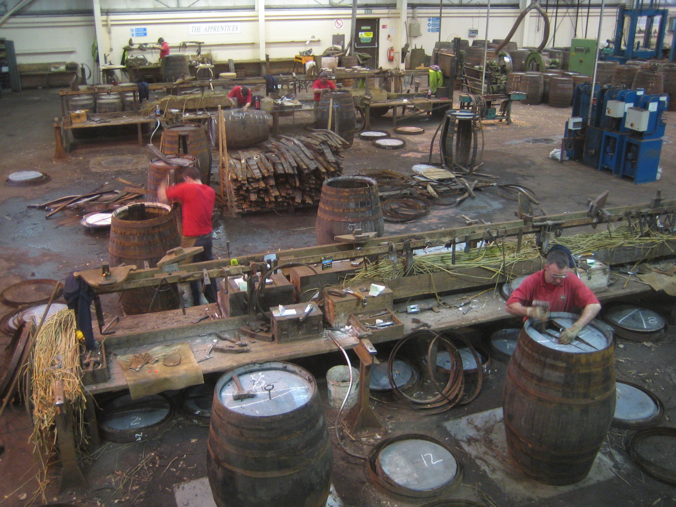
Speyside Cooperage

The Speyside Cooperage is a cooperage located in Craigellachie, Aberlour, Scotland. Its visitor centre, the only such in Britain, is part of the Malt Whisky...

Craigellachie railway station

Craigellachie railway station served the village of Craigellachie, Moray, Scotland from 1863 to 1968 on the Morayshire Railway and the Strathspey Railway...

Nearby Amenities

Located within 500m of 57.484142,-3.1967472
Turning Circle
Lat/Long: 57.4830902/-3.1968657
The data included in this document is from www.openstreetmap.org. The data is made available under ODbL.

Have you been to Tunnel Pool?

Leave your review of Tunnel Pool below (or comments, questions and feedback).