Lundie Loch
Lake, Pool, Pond, Freshwater Marsh in Angus
Scotland
Lundie Loch
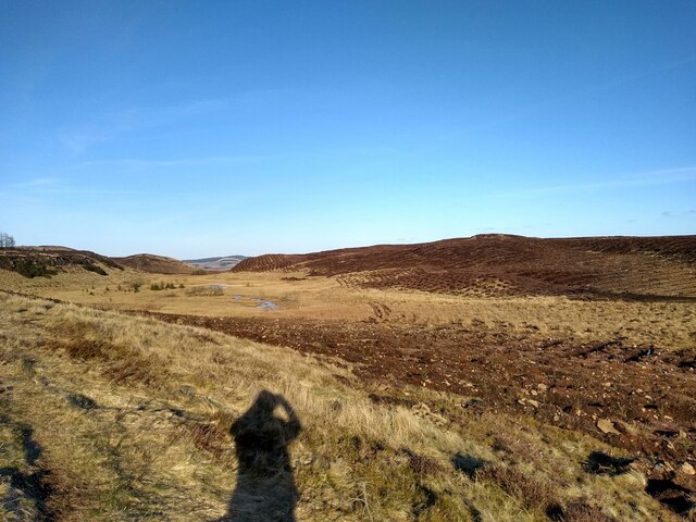
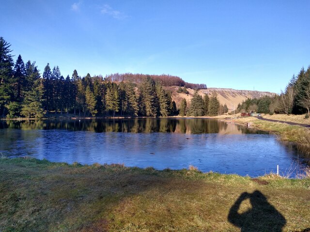
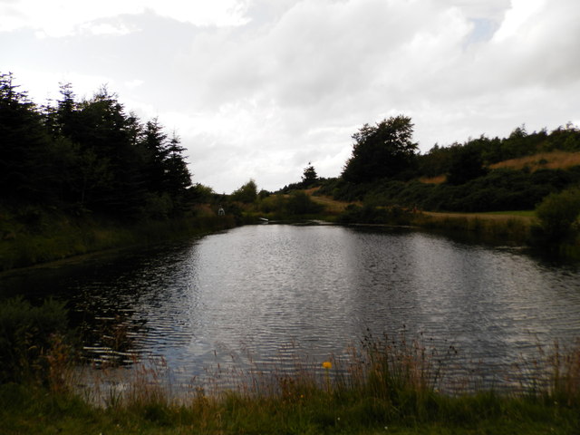
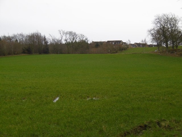
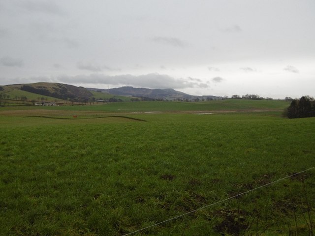
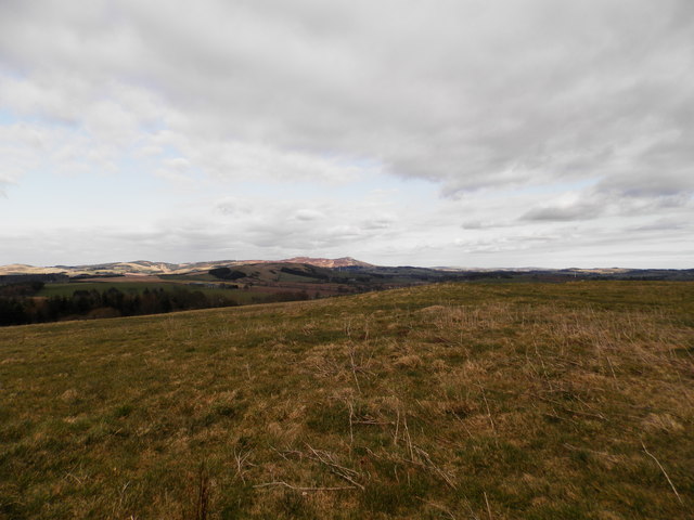
Lundie Loch is a freshwater loch located in the county of Angus, Scotland. This picturesque body of water is situated about 5 miles northwest of the town of Dundee. With an area of approximately 30 acres, Lundie Loch is a relatively small but beautiful feature of the local landscape.
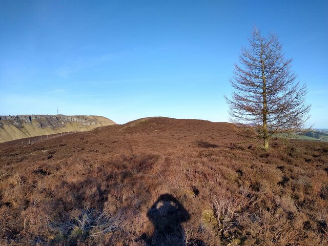
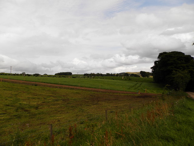
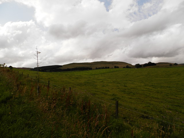
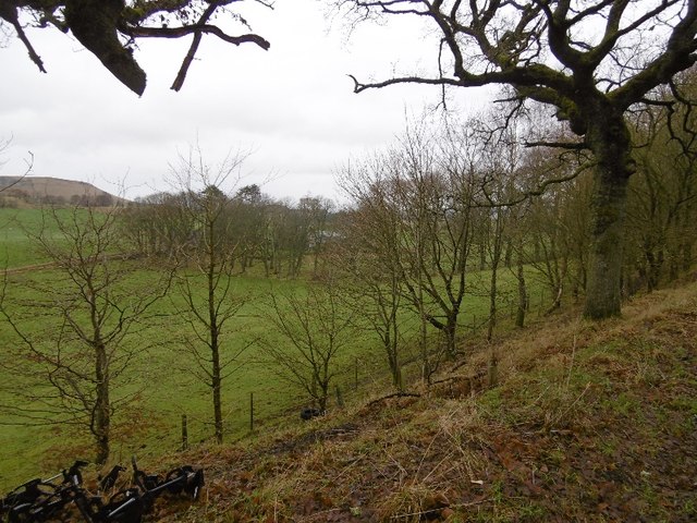
Surrounded by rolling hills and lush greenery, the loch is a popular spot for nature enthusiasts and bird-watchers. It is known for its diverse wildlife, particularly its bird population. Lundie Loch is home to various species of waterfowl, including ducks, swans, and geese. During the breeding season, the loch becomes a haven for numerous species of nesting birds, creating a wonderful spectacle for visitors.
The loch itself is fed by small streams and springs, ensuring a constant flow of freshwater. It has a maximum depth of around 8 meters and a relatively shallow shoreline, making it ideal for aquatic plants and small fish species. The surrounding area is characterized by reed beds, providing a habitat for various amphibians and insects.
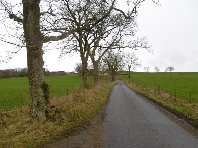
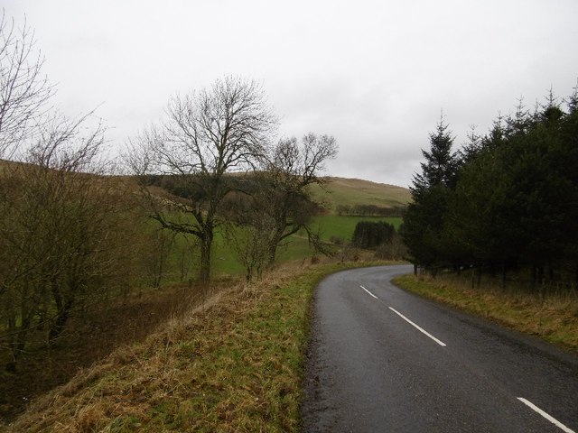
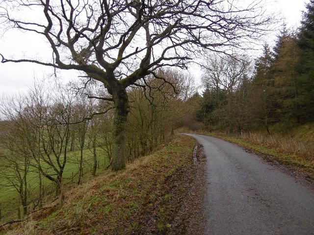
Lundie Loch offers a tranquil environment for visitors seeking relaxation or outdoor activities. It is a popular spot for fishing, with anglers enjoying the opportunity to catch brown trout and perch. Additionally, the loch is surrounded by a network of walking trails, allowing visitors to explore the scenic surroundings and take in the natural beauty of the Angus countryside.
Overall, Lundie Loch is a small but enchanting freshwater loch that offers a rich variety of wildlife and recreational opportunities for those who venture to its shores.
If you have any feedback on the listing, please let us know in the comments section below.
Lundie Loch Images
Images are sourced within 2km of 56.520597/-3.1589003 or Grid Reference NO2837. Thanks to Geograph Open Source API. All images are credited.

Lundie Loch is located at Grid Ref: NO2837 (Lat: 56.520597, Lng: -3.1589003)
Unitary Authority: Angus
Police Authority: Tayside
What 3 Words
///passively.help.author. Near Muirhead, Angus
Nearby Locations
Related Wikis

Lundie Kirk
Lundie Kirk was the parish church of Lundie, Angus, in Scotland from the 12th century until 2017. The church was constructed in Romanesque style in the...
Lundie
Lundie is a parish and small settlement in Angus, Scotland, 10 miles (16 km) northwest of Dundee, situated at the head of the Dighty valley in the Sidlaws...

Lundie Craigs
Lundie Craigs/Westerkeith Hill is one of the hills of the Sidlaw range in South East Perthshire.Lundie Craigs/Westerkeith Hill is located near Coupar Angus...

Pitlyal Loch
Pitlyal Loch also known as Round Loch is a small lochan in Sidlaw Hills in Angus. It is located southeast of Long Loch and is almost directly south of...

Long Loch (Angus)
Long Loch is a small lowland freshwater loch within the Sidlaw Hills in Angus. It is 1.8 miles south of the village of Newtyle, three miles east-south...

Sidlaws
The Sidlaws are a range of hills in the counties of Perthshire and Angus in Scotland that extend for 30 miles (45 km) from Kinnoull Hill, near Perth, northeast...
Newtyle Hill
Newtyle Hill is a mountainous landform in the Sidlaw Hills in Angus, Scotland The vicinity has elements of prehistory including presence of the Eassie...

Kinpurnie Castle
Kinpurnie Castle is a stately home located 12 miles (19 km) west of Dundee, close to Newtyle, near Blairgowrie, Angus in Scotland. The Kinpurnie estate...
Nearby Amenities
Located within 500m of 56.520597,-3.1589003Have you been to Lundie Loch?
Leave your review of Lundie Loch below (or comments, questions and feedback).