Barfield Tarn

Lake, Pool, Pond, Freshwater Marsh in Cumberland Copeland

England

Barfield Tarn

Ordnance Survey Cut Mark This OS cut mark can be found on a farm building at Hyton. It marks a point 18.712m above mean sea level.
Ordnance Survey Cut Mark Credit: Adrian Dust

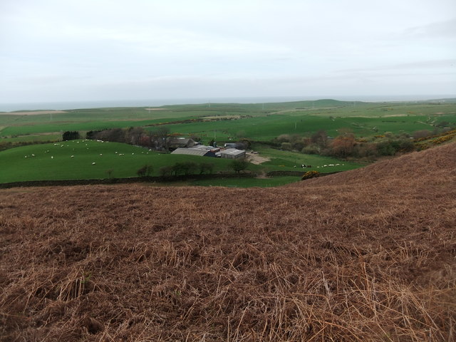
Barfield Tarn is a picturesque freshwater lake located in the county of Cumberland, England. Nestled within the tranquil countryside, this natural gem offers visitors a peaceful and serene setting to enjoy the beauty of nature.

Covering an area of approximately 10 acres, Barfield Tarn is a relatively small lake, yet it boasts a remarkable diversity of flora and fauna. Surrounded by lush vegetation, including reeds, rushes, and water lilies, the tarn provides a haven for a wide range of water-loving plants and animals.

The crystal-clear waters of Barfield Tarn are teeming with life. Anglers frequent the lake to try their luck at catching a variety of fish species, including perch, pike, and roach. Bird enthusiasts will also find themselves in awe as they witness the lake's avian inhabitants, such as mallards, swans, and herons, gracefully gliding across the water or nesting along the shoreline.

During the summer months, the tarn comes alive with vibrant colors as wildflowers bloom around its edges, creating a picturesque scene. The lake also acts as a magnet for wildlife, attracting dragonflies, butterflies, and other insects, which in turn provide sustenance for the numerous bird species that call Barfield Tarn their home.

Visitors to Barfield Tarn can explore the area via footpaths that wind around the lake, offering stunning views from various vantage points. The lake's peaceful atmosphere and idyllic surroundings make it an ideal spot for picnicking, photography, or simply enjoying a leisurely stroll in nature's embrace.

If you have any feedback on the listing, please let us know in the comments section below.

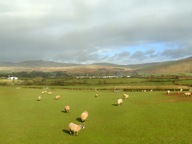
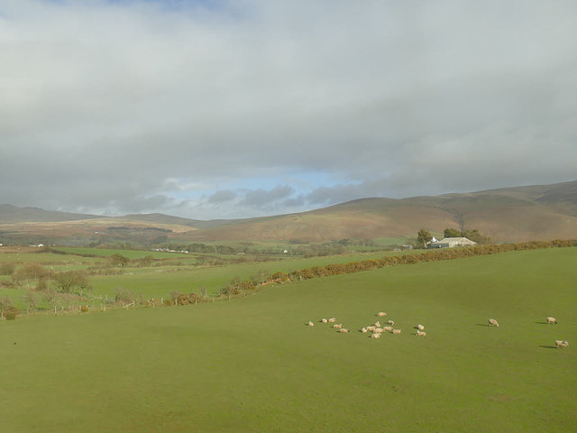
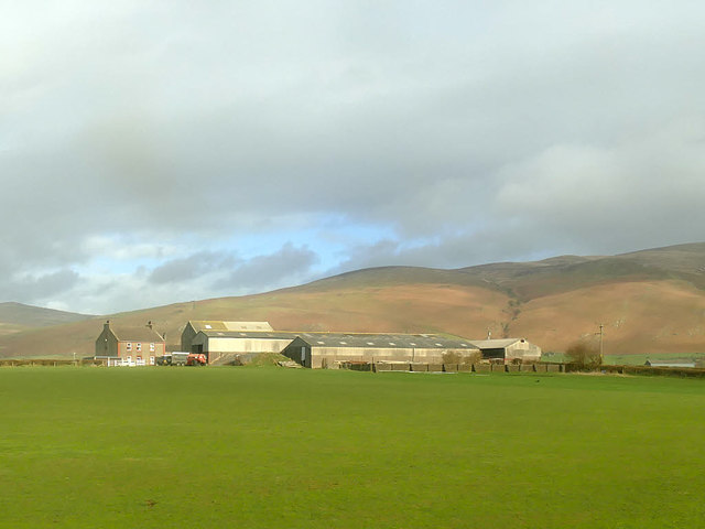
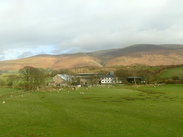
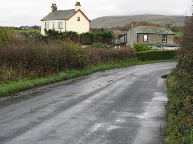
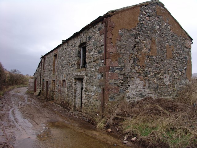
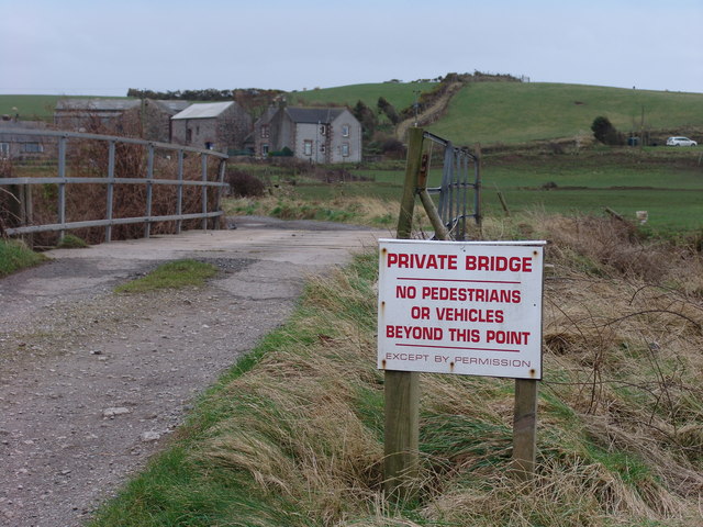
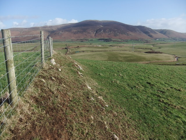
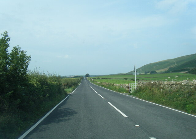
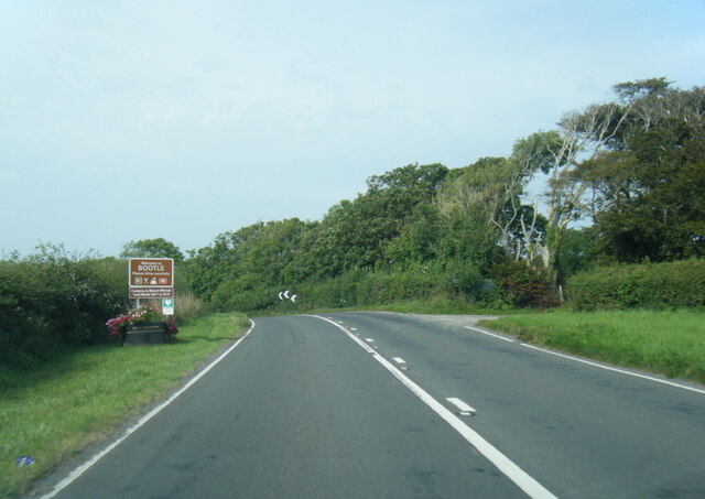
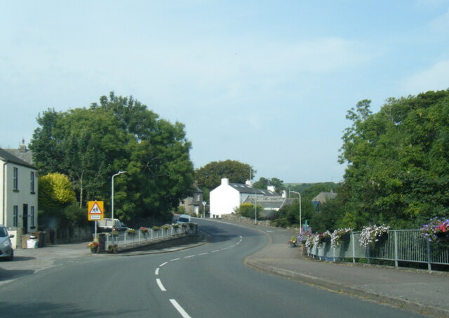
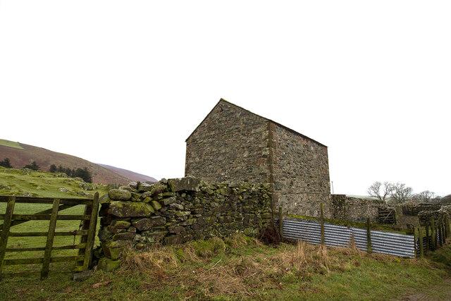
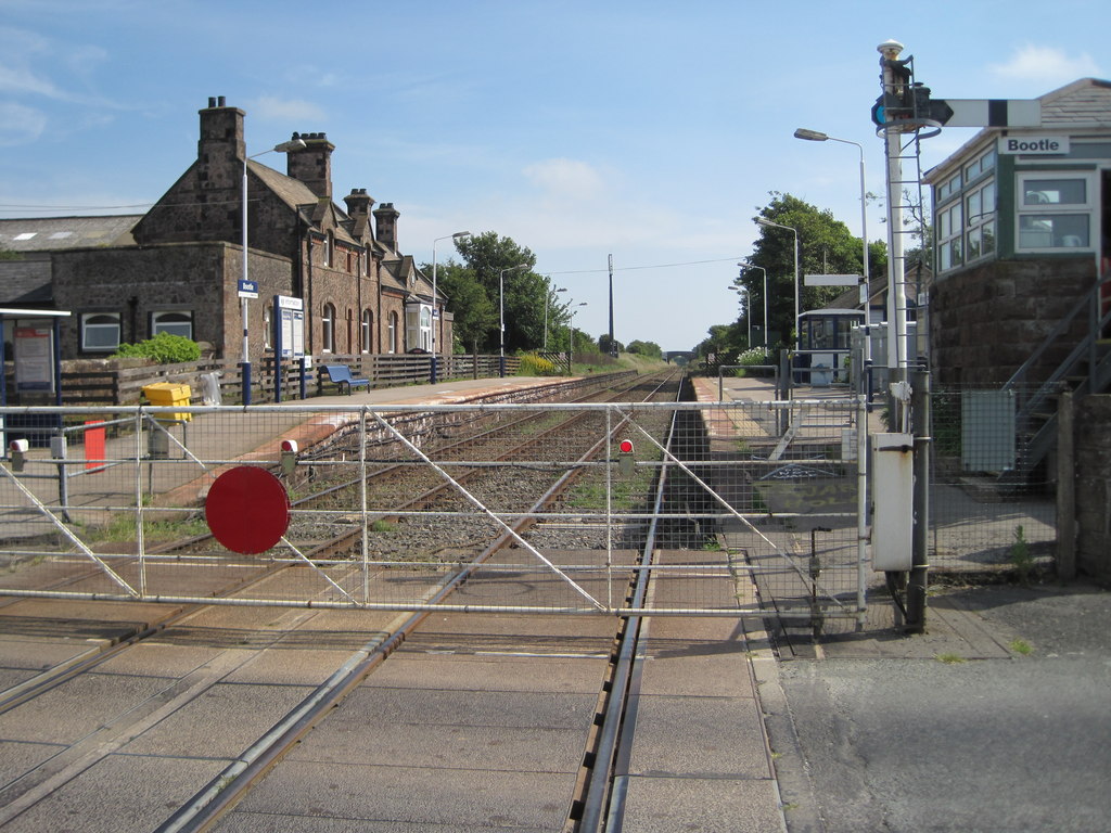
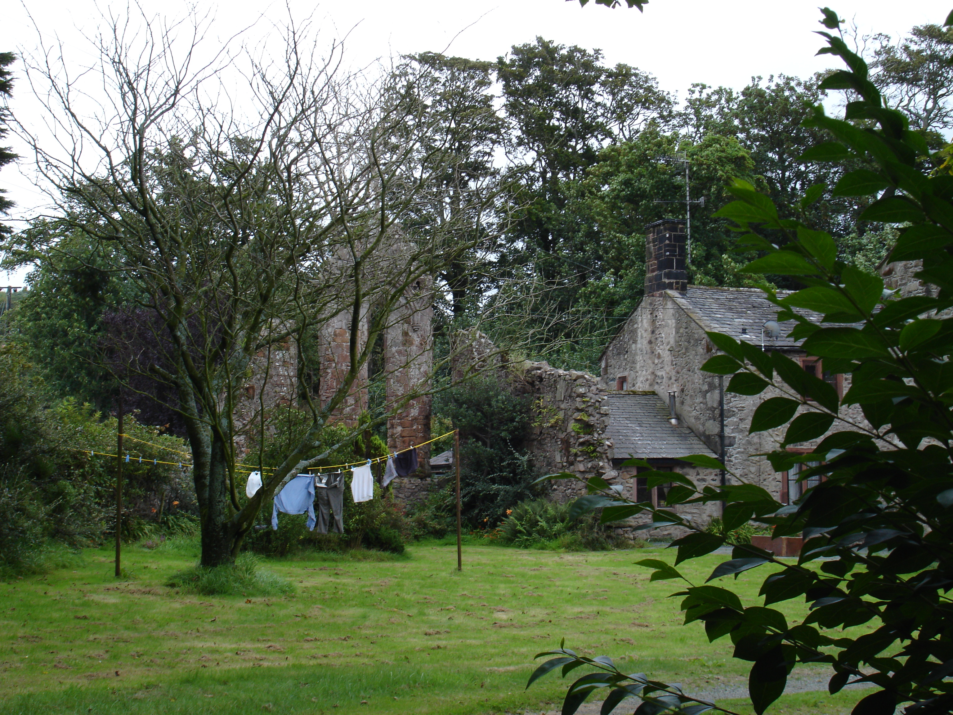
Barfield Tarn Images

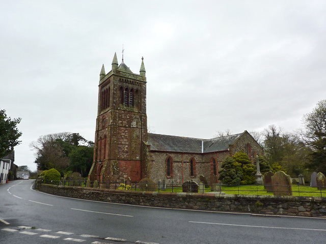
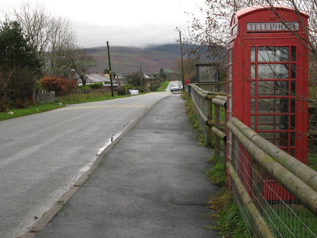
Images are sourced within 2km of 54.270001/-3.370953 or Grid Reference SD1086. Thanks to Geograph Open Source API. All images are credited.

Ordnance Survey Cut Mark This OS cut mark can be found on a farm building at Hyton. It marks a point 18.712m above mean sea level.
Ordnance Survey Cut Mark
This OS cut mark can be found on a farm building at Hyton. It marks a point 18.712m above mean sea level.
Ordnance Survey Cut Mark This OS cut mark can be found on the south facing barn at Hyton Farm. It marks a point 19.449m above mean sea level.
Ordnance Survey Cut Mark
This OS cut mark can be found on the south facing barn at Hyton Farm. It marks a point 19.449m above mean sea level.
Barn at High Kiskin Built prodominantly of river washed or glaciallyy rounded cobbles with a few squared quoins at the corners which must have been transported several miles from there quarry of origin.
Barn at High Kiskin
Built prodominantly of river washed or glaciallyy rounded cobbles with a few squared quoins at the corners which must have been transported several miles from there quarry of origin.
Ordnance Survey Cut Mark This OS cut mark can be found on the west face of the Railway Bridge. It marks a point 12.369m above mean sea level.
Ordnance Survey Cut Mark
This OS cut mark can be found on the west face of the Railway Bridge. It marks a point 12.369m above mean sea level.
View towards Bootle village The western fells of the Lake District form the backdrop to this view from a train on the Cumbrian Coast line.
View towards Bootle village
The western fells of the Lake District form the backdrop to this view from a train on the Cumbrian Coast line.
View towards Mount Rivers Farm The western fells of the Lake District form the backdrop to this view from a train on the Cumbrian Coast line.
View towards Mount Rivers Farm
The western fells of the Lake District form the backdrop to this view from a train on the Cumbrian Coast line.
Old Hyton Farm The western fells of the Lake District form the backdrop to this view from a train on the Cumbrian Coast line.
Old Hyton Farm
The western fells of the Lake District form the backdrop to this view from a train on the Cumbrian Coast line.
Holmegate Farm The western fells of the Lake District form the backdrop to this view from a train on the Cumbrian Coast line.
Holmegate Farm
The western fells of the Lake District form the backdrop to this view from a train on the Cumbrian Coast line.
Hedge Close A fine South Cumbrian cottage.
Hedge Close
A fine South Cumbrian cottage.
Outbuilding on Syke Beck Farm Vernacular south Cumbrian coastal architecture still in use.
Outbuilding on Syke Beck Farm
Vernacular south Cumbrian coastal architecture still in use.
Bridge over river Annas Annaside farm in the background.
Bridge over river Annas
Annaside farm in the background.
Looking west from The Hawes
A595 near Monk Fosse Farm
A595 at Bootle village boundary near Broomhill
A595 northbound in Bootle
Field barn and sheep pens Field barn and sheep pens near Bootle village
Field barn and sheep pens
Field barn and sheep pens near Bootle village
Ordnance Survey Flush Bracket (S7102) This OS Flush Bracket can be found on the school. It marks a point 27.987m above mean sea level.
Ordnance Survey Flush Bracket (S7102)
This OS Flush Bracket can be found on the school. It marks a point 27.987m above mean sea level.
Monk Foss Farm
Monk Foss Farm
Show me another place!

Barfield Tarn is located at Grid Ref: SD1086 (Lat: 54.270001, Lng: -3.370953)

Administrative County: Cumbria

District: Copeland

Police Authority: Cumbria

What 3 Words

///endearing.clays.indicate. Near Millom, Cumbria

Related Wikis

Nearby Amenities

Located within 500m of 54.270001,-3.370953
Material: wood
Power: pole
Lat/Long: 54.2662363/-3.3676237
Material: wood
Power: pole
Lat/Long: 54.2672275/-3.3675868
Material: wood
Power: pole
Lat/Long: 54.2681432/-3.367513
Material: wood
Power: pole
Lat/Long: 54.2689771/-3.3674835
Material: wood
Power: pole
Lat/Long: 54.2698088/-3.3667308
Material: wood
Power: pole
Lat/Long: 54.2704379/-3.3661626
Material: wood
Power: pole
Lat/Long: 54.2710046/-3.3656424
Material: wood
Power: pole
Lat/Long: 54.2717005/-3.3650188
Material: wood
Power: pole
Lat/Long: 54.2722994/-3.3644838
Generator Method: photovoltaic
Generator Orientation: south
Generator Output Electricity: yes
Generator Solar Modules: 16
Generator Source: solar
Generator Type: solar_photovoltaic_panel
Location: roof
Power: generator
Lat/Long: 54.2709858/-3.3773731
Parking
Access: yes
Fee: no
Parking: lane
Surface: asphalt
Lat/Long: 54.2735542/-3.3663403
The data included in this document is from www.openstreetmap.org. The data is made available under ODbL.

Have you been to Barfield Tarn?

Leave your review of Barfield Tarn below (or comments, questions and feedback).