Bellshaw Pool
Lake, Pool, Pond, Freshwater Marsh in Dumfriesshire
Scotland
Bellshaw Pool

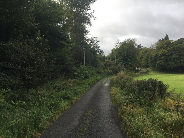
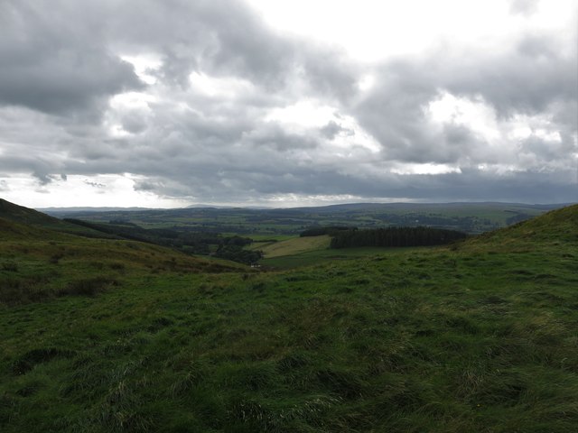
Bellshaw Pool is a picturesque freshwater marsh located in Dumfriesshire, Scotland. Situated in a tranquil setting, it is a popular destination for nature enthusiasts and bird watchers alike. The pool covers an area of approximately 10 acres and is nestled amidst lush greenery and rolling hills.
The pool is known for its diverse ecosystem, which supports a wide variety of plant and animal species. The surrounding marshland is home to a range of aquatic plants, including reeds, rushes, and water lilies, creating a vibrant and colorful landscape. The marsh provides a crucial habitat for numerous bird species, such as swans, ducks, geese, and herons, making it a prime location for bird-watching enthusiasts.
The pool itself is relatively shallow, with an average depth of around 3 feet, and is fed by natural springs and rainfall. The clear, calm waters provide an ideal environment for a variety of fish species, including perch, pike, and roach, attracting anglers throughout the year.
Visitors to Bellshaw Pool can enjoy a peaceful and serene atmosphere, perfect for relaxation and reflection. The pool is surrounded by walking trails and picnic areas, allowing visitors to explore the surrounding countryside and enjoy the scenic beauty of Dumfriesshire.
Overall, Bellshaw Pool is a hidden gem in Dumfriesshire, offering a unique and diverse ecosystem for nature enthusiasts to enjoy. Whether it's bird watching, fishing, or simply appreciating the natural beauty, this freshwater marsh is a must-visit destination for anyone seeking a tranquil escape in the heart of Scotland.
If you have any feedback on the listing, please let us know in the comments section below.
Bellshaw Pool Images
Images are sourced within 2km of 55.325418/-3.4072976 or Grid Reference NT1004. Thanks to Geograph Open Source API. All images are credited.


Bellshaw Pool is located at Grid Ref: NT1004 (Lat: 55.325418, Lng: -3.4072976)
Unitary Authority: Dumfries and Galloway
Police Authority: Dumfries and Galloway
What 3 Words
///downward.intensely.royally. Near Moffat, Dumfries & Galloway
Nearby Locations
Related Wikis
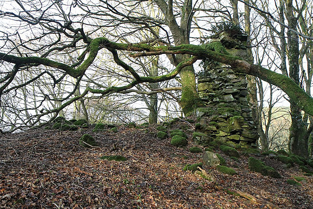
Cornal Tower
Cornal Tower is the ruins of a tower house located near Moffat, Dumfries-shire, Scotland. Alternative names are Polcornare, Cornal Burn, or Logan. The...

Moffat Academy
Moffat Academy is a school in Moffat, Dumfries and Galloway, Scotland. It educates children from nursery to Secondary 6. == History == Moffat Academy traces...

Moffat
Moffat (Scottish Gaelic: Mofad) is a burgh and parish in Dumfriesshire, now part of the Dumfries and Galloway local authority area in Scotland. It lies...

Moffat railway station
Moffat railway station was a station and the terminus of a short branch line which served Moffat, in the Scottish county of Dumfries and Galloway. It was...
Moffat Museum
Moffat Museum is a community museum in Moffat, Scotland. It was established in the Old Moffat Bakehouse in 1984. The museum expanded into a neighbouring...
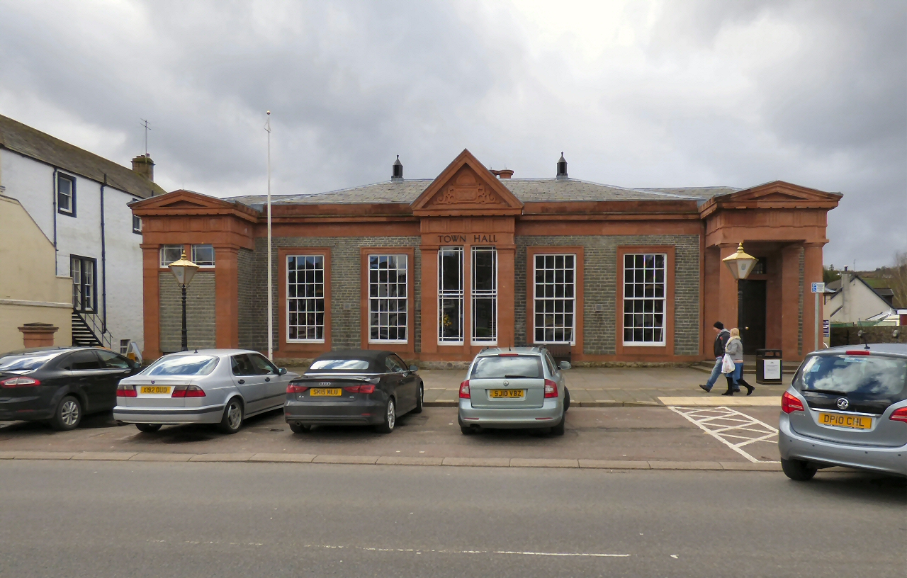
Moffat Town Hall
Moffat Town Hall is a municipal building in the High Street in Moffat, Dumfries and Galloway, Scotland. The structure, which is used as community events...

Beattock railway station
Beattock railway station was a station which served the village of Beattock, in the parish of Kirkpatrick-Juxta in the Scottish county of Dumfries and...
Beattock
Beattock is a village in Dumfries and Galloway, Scotland, approximately 1⁄2 mile (800 metres) southwest of Moffat and 19 miles (31 kilometres) north of...
Nearby Amenities
Located within 500m of 55.325418,-3.4072976Have you been to Bellshaw Pool?
Leave your review of Bellshaw Pool below (or comments, questions and feedback).