Dormont Lake

Lake, Pool, Pond, Freshwater Marsh in Dumfriesshire

Scotland

Dormont Lake

Almagill Hill Trig Point Flush Bracket S9835
Almagill Hill Trig Point Flush Bracket S9835 Credit: thejackrustles

Dormont Lake, located in Dumfriesshire, Scotland, is a picturesque freshwater body encompassing a surface area of approximately 2 acres. It is nestled amidst the stunning surroundings of Dormont Estate, offering visitors a tranquil and scenic retreat from the hustle and bustle of everyday life.

This natural water feature boasts crystal-clear waters, making it an ideal habitat for a diverse range of aquatic flora and fauna. The lake is fed by freshwater springs and small streams, ensuring a constant flow of clean water. The depth of Dormont Lake varies, with certain areas reaching depths of up to 15 feet.

Surrounding the lake, there is a rich diversity of vegetation, including reeds, rushes, and water lilies. This flourishing ecosystem provides a haven for numerous bird species, such as ducks, swans, and herons, which can often be spotted gracefully gliding across the water's surface.

Dormont Lake is a popular spot for fishing enthusiasts, who can try their luck at catching a variety of freshwater fish, including trout and perch. Anglers can enjoy the peaceful ambiance while casting their lines from the lakeshore or from small boats available for hire.

The lake is also a haven for wildlife enthusiasts and nature lovers, as it attracts various species of butterflies, dragonflies, and amphibians. Visitors can explore the surrounding area on foot, taking advantage of the well-maintained trails and picnic spots, which offer breathtaking views of the lake and its surrounding landscape.

Overall, Dormont Lake in Dumfriesshire is a captivating natural gem, offering a tranquil environment for fishing, wildlife observation, and leisurely walks amidst stunning scenery.

If you have any feedback on the listing, please let us know in the comments section below.

Dormont Lake Images

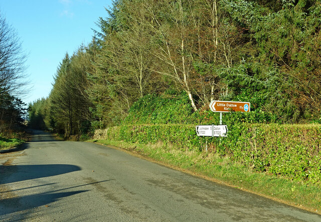
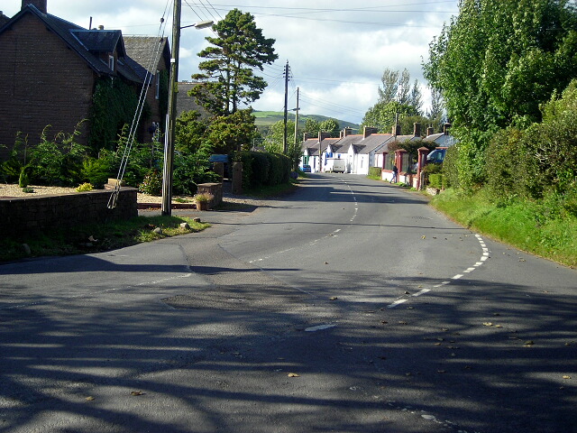
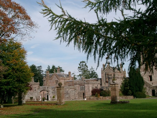
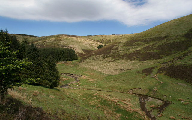
Images are sourced within 2km of 55.06515/-3.3972082 or Grid Reference NY1075. Thanks to Geograph Open Source API. All images are credited.

Almagill Hill Trig Point Flush Bracket S9835
Section of Annadale Way on a dull rainy day
Monument To Joe Graham <span class="nowrap"><a title="https://britishlistedbuildings.co.uk/200334506-monument-to-joe-graham-almagill-hill-dalton#.YXBr_y8w3w4" rel="nofollow ugc noopener" href="https://britishlistedbuildings.co.uk/200334506-monument-to-joe-graham-almagill-hill-dalton#.YXBr_y8w3w4">Link</a><img style="margin-left:2px;" alt="External link" title="External link - shift click to open in new window" src="https://s1.geograph.org.uk/img/external.png" width="10" height="10"/></span>

Steep pyramidal monument (about 6m high), on summit of
Almagill Hill and with 1896 bronze panel by J W Dods (signed
and dated) set in S face. Rubble-built, bronze panel (hunting
scene) in granite surround, inscribed panel below also
granite.
Monument To Joe Graham
LinkExternal link Steep pyramidal monument (about 6m high), on summit of Almagill Hill and with 1896 bronze panel by J W Dods (signed and dated) set in S face. Rubble-built, bronze panel (hunting scene) in granite surround, inscribed panel below also granite.
Old and new graffiti on Monument To Joe Graham
Kirkhill Farm Viewed from Little Dalton Kirkyard.
Kirkhill Farm
Viewed from Little Dalton Kirkyard.
Hallidayhill Farm A late-April view.
Hallidayhill Farm
A late-April view.
Triangulation Pillar, Almagill Hill The concrete Ordnance Survey triangulation pillar on the summit of Almagill Hill.
The pillar was constructed in 1958. The flush bracket benchmark number S9835 on the south face of the pillar marks a height of 216.981m above mean sea level (Ordnance Datum Newlyn) last levelled for height in 1973 (detail photograph <a href="https://www.geograph.org.uk/photo/7304437">NY0875 : Benchmark, Almagill Hill</a>).
The triangulation pillar is on The Annandale Way long distance path.  The village in the left background is Hightae, the River Annan is in the valley of Annandale to the right.
Triangulation Pillar, Almagill Hill
The concrete Ordnance Survey triangulation pillar on the summit of Almagill Hill. The pillar was constructed in 1958. The flush bracket benchmark number S9835 on the south face of the pillar marks a height of 216.981m above mean sea level (Ordnance Datum Newlyn) last levelled for height in 1973 (detail photograph NY0875 : Benchmark, Almagill Hill). The triangulation pillar is on The Annandale Way long distance path. The village in the left background is Hightae, the River Annan is in the valley of Annandale to the right.
Benchmark, Almagill Hill Detail of the flush bracket benchmark on the Ordnance Survey triangulation pillar on the summit of Almagill Hill. The flush bracket, benchmark number S9835, is on the south face of the pillar and marks a height of 216.981m above mean sea level (Ordnance Datum Newlyn), last levelled for height in 1973 (location photograph <a href="https://www.geograph.org.uk/photo/7303990">NY0875 : Triangulation Pillar, Almagill Hill</a>).
Benchmark, Almagill Hill
Detail of the flush bracket benchmark on the Ordnance Survey triangulation pillar on the summit of Almagill Hill. The flush bracket, benchmark number S9835, is on the south face of the pillar and marks a height of 216.981m above mean sea level (Ordnance Datum Newlyn), last levelled for height in 1973 (location photograph NY0875 : Triangulation Pillar, Almagill Hill).
Bridge Marker on Williamwath Bridge, Dumfries and Galloway Bridge Marker rivetted to the northwest parapet of Williamwath Bridge, River Annan, northeast of Dalton. On the former boundary of Dalton and Dryfesdale parishes, Dumfriesshire, now Dumfries and Galloway. Category B Listed <span class="nowrap"><a title="http://portal.historicenvironment.scot/designation/LB3797" rel="nofollow ugc noopener" href="http://portal.historicenvironment.scot/designation/LB3797">Link</a><img style="margin-left:2px;" alt="External link" title="External link - shift click to open in new window" src="https://s1.geograph.org.uk/img/external.png" width="10" height="10"/></span>.

Milestone Society National ID: DF_DALDRY01br
Bridge Marker on Williamwath Bridge, Dumfries and Galloway
Bridge Marker rivetted to the northwest parapet of Williamwath Bridge, River Annan, northeast of Dalton. On the former boundary of Dalton and Dryfesdale parishes, Dumfriesshire, now Dumfries and Galloway. Category B Listed LinkExternal link. Milestone Society National ID: DF_DALDRY01br
Dalton Parish Church
OS Cut Mark - Dalton, Parish Church <span class="nowrap"><a title="https://www.bench-marks.org.uk/bm70196" rel="nofollow ugc noopener" href="https://www.bench-marks.org.uk/bm70196">Link</a><img style="margin-left:2px;" alt="External link" title="External link - shift click to open in new window" src="https://s1.geograph.org.uk/img/external.png" width="10" height="10"/></span>
OS Cut Mark - Dalton, Parish Church
Position of OS Cut Mark - Dalton, Parish Church <span class="nowrap"><a title="https://www.bench-marks.org.uk/bm70196" rel="nofollow ugc noopener" href="https://www.bench-marks.org.uk/bm70196">Link</a><img style="margin-left:2px;" alt="External link" title="External link - shift click to open in new window" src="https://s1.geograph.org.uk/img/external.png" width="10" height="10"/></span>
Position of OS Cut Mark - Dalton, Parish Church
Dalton Parish Church This 19th century building was sited next to the older church which was located in a very old religious place.
Dalton Parish Church
This 19th century building was sited next to the older church which was located in a very old religious place.
Dalton UF Church This church in Dalton village was "non-conformist", constructed during the 19th century for the breakaway United Free Kirk.
Dalton UF Church
This church in Dalton village was "non-conformist", constructed during the 19th century for the breakaway United Free Kirk.
This way to Little Dalton Kirk I had hoped to visit Little Dalton Kirk but the road was closed after storm Arwen had brought trees down during the previous evening. There's always another day to visit.
This way to Little Dalton Kirk
I had hoped to visit Little Dalton Kirk but the road was closed after storm Arwen had brought trees down during the previous evening. There's always another day to visit.
Williamwath Bridge Williamwath Bridge carries a minor road over the River Annan.
The western route of the Annandale Way long distance path crosses the bridge.
Williamwath Bridge
Williamwath Bridge carries a minor road over the River Annan. The western route of the Annandale Way long distance path crosses the bridge.
Field near Manse Bridge The road is the B7020 from Annan to Lochmaben and it is the route of the Annandale Way.
Field near Manse Bridge
The road is the B7020 from Annan to Lochmaben and it is the route of the Annandale Way.
Show me another place!

Dormont Lake is located at Grid Ref: NY1075 (Lat: 55.06515, Lng: -3.3972082)

Unitary Authority: Dumfries and Galloway

Police Authority: Dumfries and Galloway

What 3 Words

///nothing.liquid.pining. Near Lockerbie, Dumfries & Galloway

Related Wikis

Nearby Amenities

Located within 500m of 55.06515,-3.3972082
Dormont
Historic: ruins
Lat/Long: 55.0650455/-3.3952233
Power: pole
Lat/Long: 55.0625038/-3.40336
Power: pole
Lat/Long: 55.062697/-3.4027778
Power: pole
Lat/Long: 55.0626926/-3.40175
Power: pole
Lat/Long: 55.0623046/-3.400596
Power: pole
Lat/Long: 55.0618148/-3.3992436
Power: pole
Lat/Long: 55.0616703/-3.3977161
Power: pole
Lat/Long: 55.061564/-3.3966419
The data included in this document is from www.openstreetmap.org. The data is made available under ODbL.

Have you been to Dormont Lake?

Leave your review of Dormont Lake below (or comments, questions and feedback).