Barfield Woods

Wood, Forest in Cumberland Copeland

England

Barfield Woods

Ordnance Survey Cut Mark This OS cut mark can be found on a farm building at Hyton. It marks a point 18.712m above mean sea level.
Ordnance Survey Cut Mark Credit: Adrian Dust

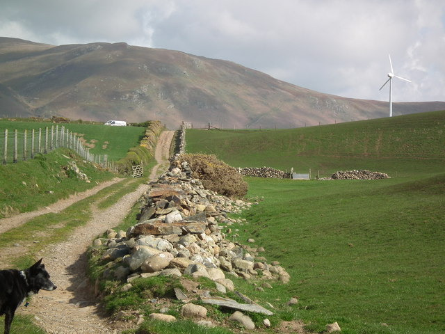
Barfield Woods is a serene and picturesque woodland located in Cumberland, a county in the northwestern part of England. Spanning over a vast area, the woods are a natural haven for both locals and tourists seeking respite from the hustle and bustle of city life.

The woods are predominantly made up of a dense and diverse collection of trees, including oak, beech, and birch, creating a rich and vibrant forest ecosystem. This lush greenery provides a breathtaking backdrop for visitors to enjoy leisurely walks, picnics, and various outdoor activities.

Barfield Woods is also home to a wide array of wildlife, making it a popular destination for nature enthusiasts. Visitors may catch glimpses of squirrels, rabbits, and an abundance of bird species, including woodpeckers and owls. The woods' tranquil atmosphere and natural beauty make it an ideal location for birdwatchers, photographers, and those simply seeking a peaceful retreat.

In addition to its natural wonders, Barfield Woods also boasts well-maintained trails and pathways, ensuring easy access for visitors of all ages and abilities. The woods offer a range of activities, such as hiking, cycling, and horseback riding, allowing visitors to immerse themselves fully in the beauty of the surroundings.

Overall, Barfield Woods in Cumberland is a true gem, offering a captivating escape into nature's embrace. With its diverse flora and fauna, picturesque landscapes, and recreational opportunities, it is a must-visit destination for anyone seeking solace and tranquility amidst the natural wonders of England's countryside.

If you have any feedback on the listing, please let us know in the comments section below.

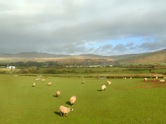
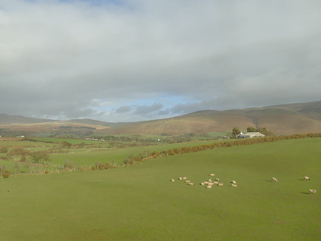
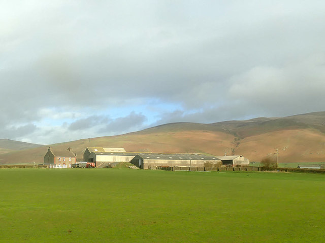
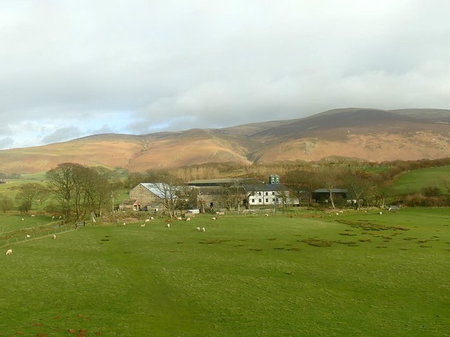
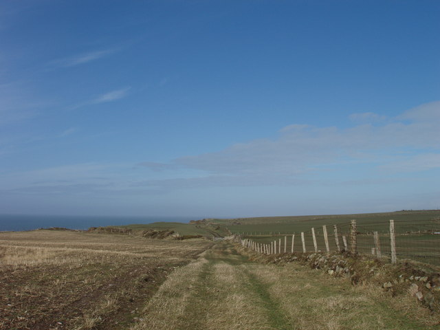
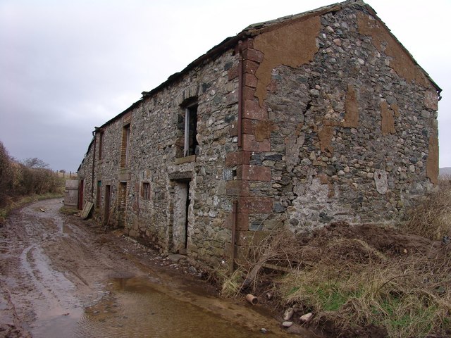
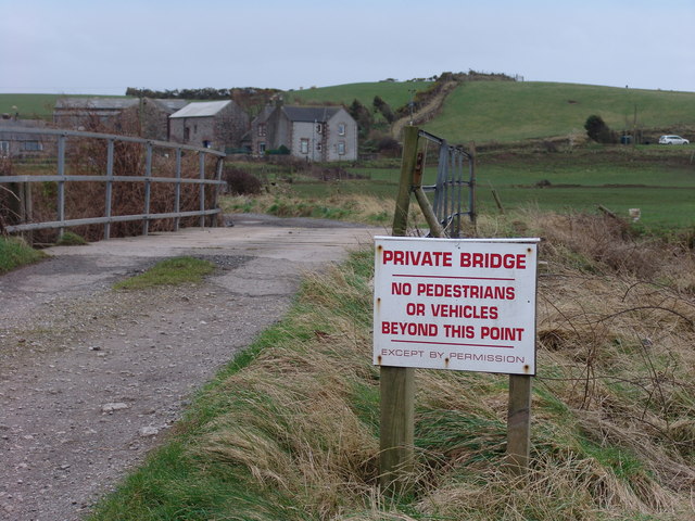
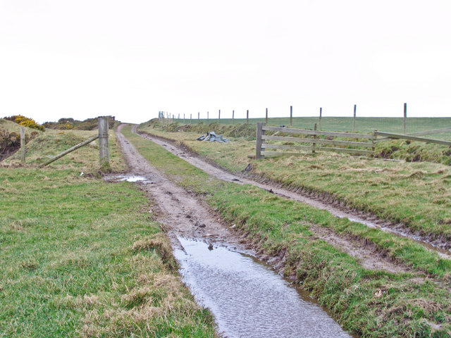
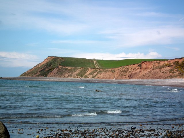
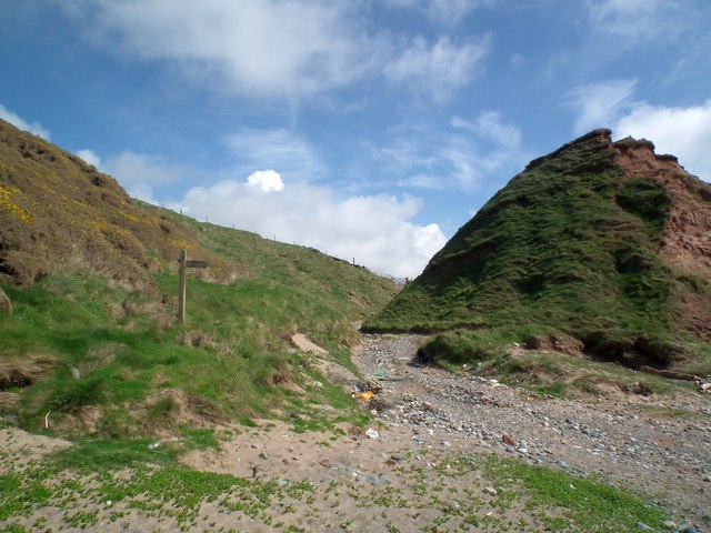
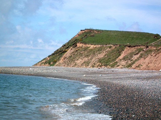
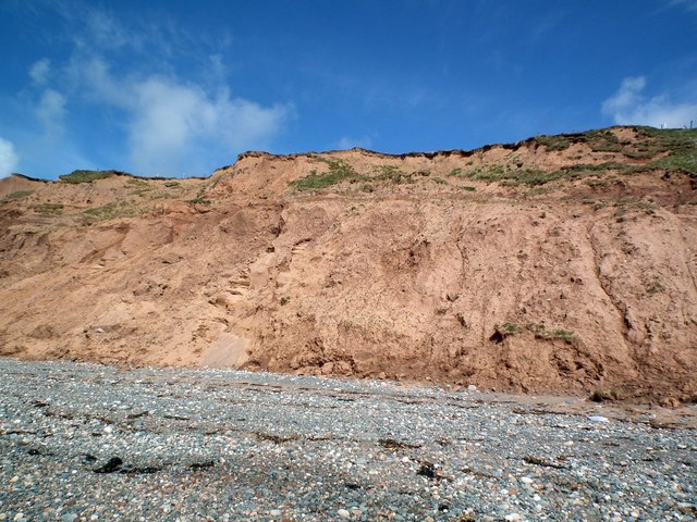
Barfield Woods Images

Images are sourced within 2km of 54.266698/-3.3760486 or Grid Reference SD1086. Thanks to Geograph Open Source API. All images are credited.

Ordnance Survey Cut Mark This OS cut mark can be found on a farm building at Hyton. It marks a point 18.712m above mean sea level.
Ordnance Survey Cut Mark
This OS cut mark can be found on a farm building at Hyton. It marks a point 18.712m above mean sea level.
Ordnance Survey Cut Mark This OS cut mark can be found on the south facing barn at Hyton Farm. It marks a point 19.449m above mean sea level.
Ordnance Survey Cut Mark
This OS cut mark can be found on the south facing barn at Hyton Farm. It marks a point 19.449m above mean sea level.
Barn at High Kiskin Built prodominantly of river washed or glaciallyy rounded cobbles with a few squared quoins at the corners which must have been transported several miles from there quarry of origin.
Barn at High Kiskin
Built prodominantly of river washed or glaciallyy rounded cobbles with a few squared quoins at the corners which must have been transported several miles from there quarry of origin.
Ordnance Survey Cut Mark This OS cut mark can be found on the west face of the Railway Bridge. It marks a point 12.369m above mean sea level.
Ordnance Survey Cut Mark
This OS cut mark can be found on the west face of the Railway Bridge. It marks a point 12.369m above mean sea level.
View towards Bootle village The western fells of the Lake District form the backdrop to this view from a train on the Cumbrian Coast line.
View towards Bootle village
The western fells of the Lake District form the backdrop to this view from a train on the Cumbrian Coast line.
View towards Mount Rivers Farm The western fells of the Lake District form the backdrop to this view from a train on the Cumbrian Coast line.
View towards Mount Rivers Farm
The western fells of the Lake District form the backdrop to this view from a train on the Cumbrian Coast line.
Old Hyton Farm The western fells of the Lake District form the backdrop to this view from a train on the Cumbrian Coast line.
Old Hyton Farm
The western fells of the Lake District form the backdrop to this view from a train on the Cumbrian Coast line.
Holmegate Farm The western fells of the Lake District form the backdrop to this view from a train on the Cumbrian Coast line.
Holmegate Farm
The western fells of the Lake District form the backdrop to this view from a train on the Cumbrian Coast line.
Track along top of Annaside banks
Funky painted slabs on beach These random painted slabs appear to be discarded pieces of concrete which some artist has adopted - they do brighten up a rather dull piece of beach and are found where the cumbria coastal way makes way back to the beach at SD 086867
Funky painted slabs on beach
These random painted slabs appear to be discarded pieces of concrete which some artist has adopted - they do brighten up a rather dull piece of beach and are found where the cumbria coastal way makes way back to the beach at SD 086867
Outbuilding on Syke Beck Farm Vernacular south Cumbrian coastal architecture still in use.
Outbuilding on Syke Beck Farm
Vernacular south Cumbrian coastal architecture still in use.
Bridge over river Annas Annaside farm in the background.
Bridge over river Annas
Annaside farm in the background.
Annaside Banks on Cumbria Coastal Way A windy, wet  March day in the coastal Lake District.
Annaside Banks on Cumbria Coastal Way
A windy, wet March day in the coastal Lake District.
Cliffs near Bog Hole The pebbles section of the Cumbria Coastal way will shortly end. The picture shows the Way continuing over the cliffs along a farm track.
Cliffs near Bog Hole
The pebbles section of the Cumbria Coastal way will shortly end. The picture shows the Way continuing over the cliffs along a farm track.
Cumbria Coastal Way finally leaves the beach After miles of pebbles the CCW heads inland. Gutterby is straight ahead. CCW is to the left over the cliffs.
Cumbria Coastal Way finally leaves the beach
After miles of pebbles the CCW heads inland. Gutterby is straight ahead. CCW is to the left over the cliffs.
A closer view of the cliffs near Bog Hole The erosion of the cliffs on this stretch of the Cumbria Coastal Way makes any attempt at climbing them a very dangerous proposition.
A closer view of the cliffs near Bog Hole
The erosion of the cliffs on this stretch of the Cumbria Coastal Way makes any attempt at climbing them a very dangerous proposition.
Badly eroded cliffs The footpath is over the cliffs.
Badly eroded cliffs
The footpath is over the cliffs.
Public Footpath at Gutterby From the junction with the Cumbria Coastal Way the footpath follows a farm track to Gutterby. Black Combe is in the background.
Public Footpath at Gutterby
From the junction with the Cumbria Coastal Way the footpath follows a farm track to Gutterby. Black Combe is in the background.
Show me another place!

Barfield Woods is located at Grid Ref: SD1086 (Lat: 54.266698, Lng: -3.3760486)

Administrative County: Cumbria

District: Copeland

Police Authority: Cumbria

What 3 Words

///boils.rescuer.scary. Near Haverigg, Cumbria

Related Wikis

Annaside

Annaside is a hamlet in Cumbria, England. It is located on the coast by the Irish Sea, about a 1+1⁄2 miles (2+1⁄2 km) south-west of Bootle and 7 miles...

Bootle, Cumbria

Bootle (oo as in boot) is a village and civil parish in the Borough of Copeland in Cumbria, England. The parish had a population of 745 in the 2001 census...

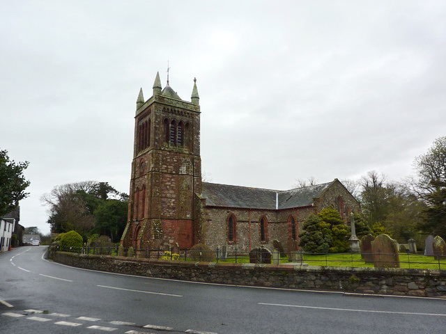
St Michael's Church, Bootle

St Michael's Church is in the village of Bootle, Cumbria, England. It is an active Anglican parish church in the deanery of Calder, the archdeaconry of...

River Annas

The River Annas is a minor river in Cumbria in northwest England. It is formed as the Kinmont Beck and Crookley Beck which drain the southwestern fells...

Hycemoor

Hycemoor is a hamlet in Copeland borough of the county of Cumbria, in North west England. == Location == It is located on a minor road about a mile away...
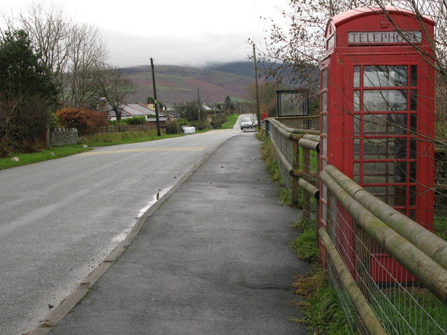
Whitbeck, Cumbria

Whitbeck is a hamlet and former civil parish, now in the parish of Whicham, in the Copeland district, in the county of Cumbria, England. It was called...

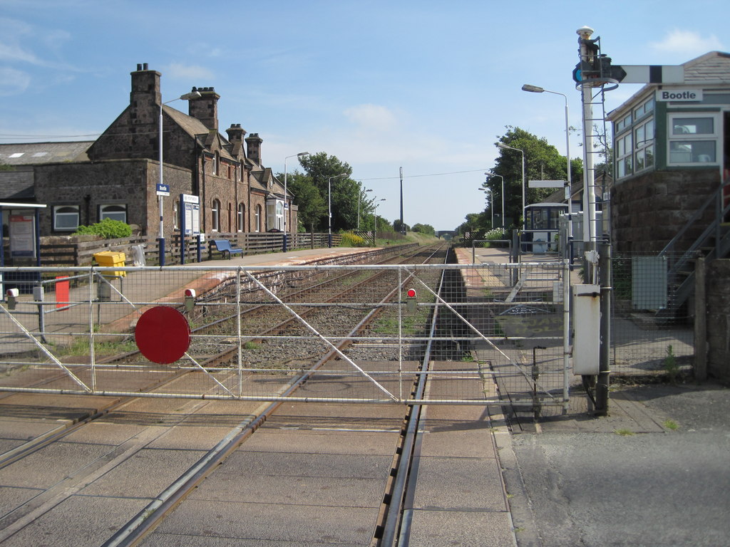
Bootle railway station

Bootle is a railway station on the Cumbrian Coast Line, which runs between Carlisle and Barrow-in-Furness. The station, situated 24 miles (39 km) north...

Black Combe

Black Combe is a fell in the south-west corner of the Lake District National Park, England, just 4 miles (6.4 km) from the Irish Sea. It lies near the...

Nearby Amenities

Located within 500m of 54.266698,-3.3760486
Generator Method: photovoltaic
Generator Orientation: south
Generator Output Electricity: yes
Generator Solar Modules: 16
Generator Source: solar
Generator Type: solar_photovoltaic_panel
Location: roof
Power: generator
Lat/Long: 54.2709858/-3.3773731
The data included in this document is from www.openstreetmap.org. The data is made available under ODbL.

Have you been to Barfield Woods?

Leave your review of Barfield Woods below (or comments, questions and feedback).