Car Wood

Wood, Forest in Cumberland Copeland

England

Car Wood

Whitecroft, Santon Santon is a tiny hamlet about half a mile from Santon Bridge on the road to Gosforth. This row of cottages, which includes holiday lets, is the most prominent building.
Whitecroft, Santon Credit: Stephen McKay

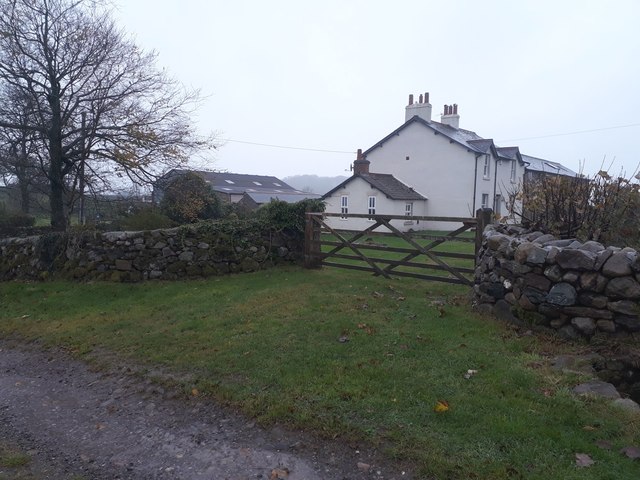
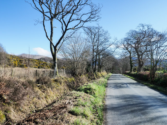
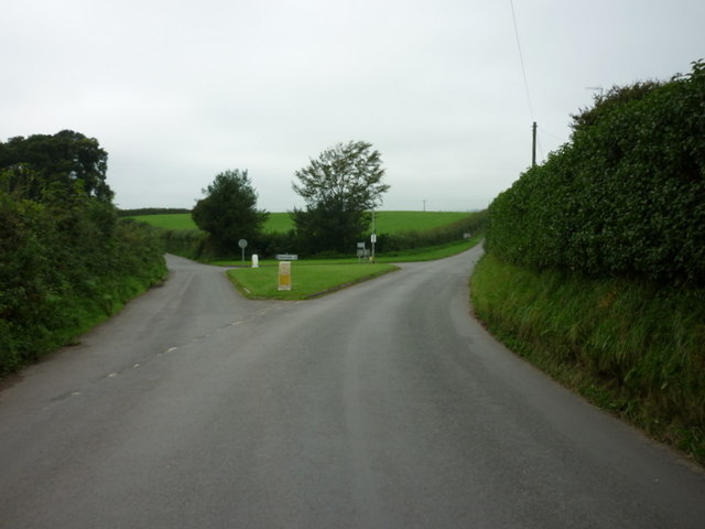
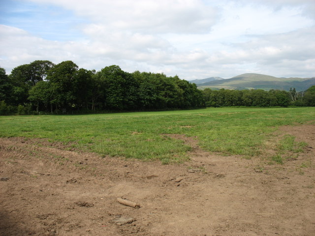
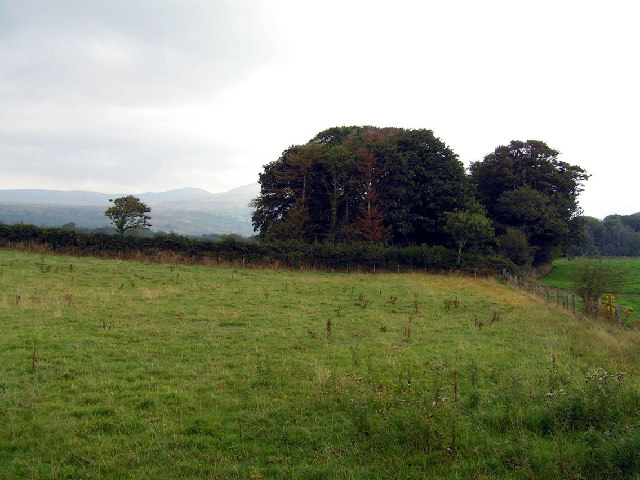
Car Wood, located in Cumberland, is a dense forest that covers an area of approximately 300 acres. It is situated in the picturesque county of Cumberland, in the northwestern part of England. The wood is largely made up of deciduous trees, such as oak, beech, and birch, which contribute to its vibrant and ever-changing landscape throughout the seasons.

Car Wood is known for its rich biodiversity and serves as an important habitat for a variety of wildlife. The forest provides shelter and sustenance to numerous species, including deer, foxes, squirrels, and a diverse range of bird species. It also supports a wide array of plant life, with a carpet of bluebells covering the forest floor during springtime.

The wood offers an excellent opportunity for nature enthusiasts, hikers, and walkers alike. The well-marked trails and pathways allow visitors to explore the woodland and appreciate its natural beauty. The peaceful ambiance and tranquil surroundings make Car Wood a popular destination for those seeking a moment of solitude and relaxation.

In addition to its recreational value, Car Wood also plays a vital role in carbon sequestration and helps to maintain the overall ecological balance of the region. The forest acts as a carbon sink, absorbing carbon dioxide from the atmosphere and releasing oxygen, thereby contributing to the fight against climate change.

Car Wood, with its natural charm and ecological significance, is truly a gem in the Cumberland countryside, offering a delightful experience to all who venture into its depths.

If you have any feedback on the listing, please let us know in the comments section below.
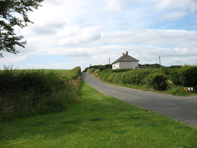
Car Wood Images

Images are sourced within 2km of 54.41832/-3.3812009 or Grid Reference NY1003. Thanks to Geograph Open Source API. All images are credited.

Whitecroft, Santon Santon is a tiny hamlet about half a mile from Santon Bridge on the road to Gosforth. This row of cottages, which includes holiday lets, is the most prominent building.
Whitecroft, Santon
Santon is a tiny hamlet about half a mile from Santon Bridge on the road to Gosforth. This row of cottages, which includes holiday lets, is the most prominent building.
Road junction in Santon
Bolton Head The farmhouse and adjacent buildings at Bolton Head.
Bolton Head
The farmhouse and adjacent buildings at Bolton Head.
Bridleway at Bolton Head A narrow track east of Bolton House. Further along it was very wet underfoot.
Bridleway at Bolton Head
A narrow track east of Bolton House. Further along it was very wet underfoot.
Track junction south of Bolton Head A junction of farm tracks south of Bolton Head.
Track junction south of Bolton Head
A junction of farm tracks south of Bolton Head.
Farm track east of Rainors A farm track passing between the farms of Rainors and Julian Holme. A public bridleway follows the track.
Farm track east of Rainors
A farm track passing between the farms of Rainors and Julian Holme. A public bridleway follows the track.
Hawkbarrow Farm Looking down the short lane to the farm buildings and house at Hawkbarrow Farm. The large pond in front of the steading appears to be a recent addition.
Hawkbarrow Farm
Looking down the short lane to the farm buildings and house at Hawkbarrow Farm. The large pond in front of the steading appears to be a recent addition.
Minor road north of Hawkbarrow Farm The minor road passing to the north of Hawkbarrow Farm.
Minor road north of Hawkbarrow Farm
The minor road passing to the north of Hawkbarrow Farm.
Minor road heading west The road connects Wasdale Head with Gosforth.
Seatallan is the hill on the horizon to the left of the most prominent tree.
Minor road heading west
The road connects Wasdale Head with Gosforth. Seatallan is the hill on the horizon to the left of the most prominent tree.
The road junction at Santon
Fields near Santon
Fields near Santon
Leaving Santon village On the road to Gosforth.
Leaving Santon village
On the road to Gosforth.
Julian Holme Farm The Denwoods are clearly proud of their herd.
Julian Holme Farm
The Denwoods are clearly proud of their herd.
Hawkbarrow Farm Just off the minor road that leads from Gosforth to Nether Wasdale.
Hawkbarrow Farm
Just off the minor road that leads from Gosforth to Nether Wasdale.
Open country and woodland, Wasdale This photo was taken near the intriguingly named 'Sorrowstones'. The hills around Wasdale are visible behind.
Open country and woodland, Wasdale
This photo was taken near the intriguingly named 'Sorrowstones'. The hills around Wasdale are visible behind.
Rainors Farm. Can you spot the false window 3rd along from this end at the top!
Rainors Farm.
Can you spot the false window 3rd along from this end at the top!
Between Guards Farm. Possibly something to stop the rustlers but I cannot be certain.
Between Guards Farm.
Possibly something to stop the rustlers but I cannot be certain.
Hall Bolton Restored premises that have been divided into separate units.
Hall Bolton
Restored premises that have been divided into separate units.
Show me another place!

Car Wood is located at Grid Ref: NY1003 (Lat: 54.41832, Lng: -3.3812009)

Administrative County: Cumbria

District: Copeland

Police Authority: Cumbria

What 3 Words

///topic.movements.establish. Near Seascale, Cumbria

Related Wikis

River Bleng

The River Bleng is a tributary of the River Irt in the county of Cumbria in northern England.The river gives its name to the valley that it flows through...

Borough of Copeland

The Borough of Copeland was a local government district with borough status in western Cumbria, England. Its council was based in Whitehaven. It was...

Copeland (UK Parliament constituency)

Copeland is a constituency in Cumbria created in 1983 and represented in the House of Commons of the UK Parliament. The constituency is represented in...

Irton with Santon

Irton with Santon is a civil parish in Copeland, Cumbria, England, which includes the village of Santon Bridge. It has a parish council. It had a population...

Santon Bridge

Santon Bridge is a small village in Copeland, Cumbria, England, at a bridge over the River Irt. The civil parish is called Irton with Santon. The population...

Nether Wasdale

Nether Wasdale is a village in Cumbria, England, located in the valley and civil parish of Wasdale, near the River Irt and just over a mile to the west...

St Michael & All Angels, Nether Wasdale

St Michael & All Angels' Church in Nether Wasdale, Cumbria, England, is an active Anglican parish church in the deanery of Calder, and the diocese of Carlisle...

Wasdale

Wasdale (; traditionally ) is a valley and civil parish in the western part of the Lake District National Park in Cumbria, England. The River Irt flows...

Nearby Amenities

Located within 500m of 54.41832,-3.3812009
Power: pole
Lat/Long: 54.4148019/-3.3779995
Power: pole
Lat/Long: 54.4157145/-3.3774469
Power: pole
Lat/Long: 54.4165039/-3.3761244
Power: pole
Lat/Long: 54.4176216/-3.376637
Power: pole
Lat/Long: 54.4185363/-3.3770353
Power: pole
Lat/Long: 54.4195896/-3.3773287
Power: pole
Lat/Long: 54.4206474/-3.3775841
Power: pole
Lat/Long: 54.4213602/-3.3768866
The data included in this document is from www.openstreetmap.org. The data is made available under ODbL.

Have you been to Car Wood?

Leave your review of Car Wood below (or comments, questions and feedback).