Gwynllyn

Lake, Pool, Pond, Freshwater Marsh in Radnorshire

Wales

Gwynllyn

Gamallt The steep, scrub covered hillside of Gamallt
Gamallt Credit: Eirian Evans

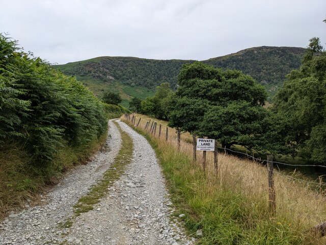
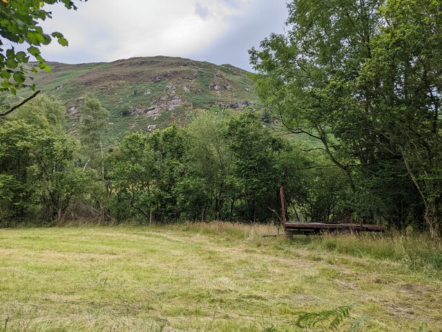
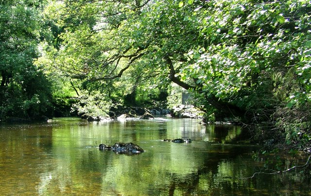
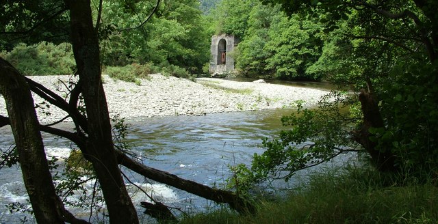
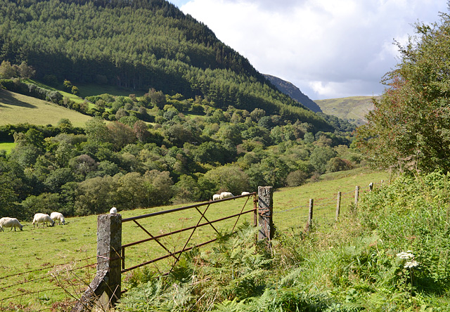
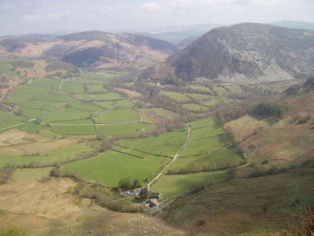
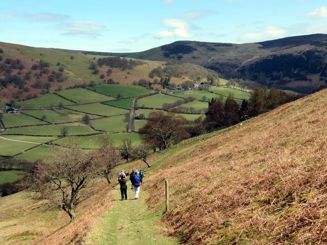
Gwynllyn is a picturesque freshwater marsh located in Radnorshire, a historic county in Wales, United Kingdom. This nature spot is renowned for its serene lake, pool, pond, and the surrounding marshland that offer a diverse range of wildlife and stunning natural beauty.

The centerpiece of Gwynllyn is its pristine lake, which spans over a considerable area and is surrounded by lush greenery. The crystal-clear waters of the lake reflect the surrounding landscape, creating a mesmerizing sight for visitors. The lake provides a peaceful haven for various species of waterfowl, including ducks, geese, and swans, which can often be seen gracefully swimming across the water.

Adjacent to the lake, there is a smaller pool and pond, which add to the charm of Gwynllyn. These smaller bodies of water create an ideal habitat for aquatic plants and a plethora of insects, attracting an array of bird species that come to feed and nest in the area.

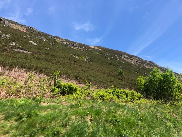
The freshwater marsh that encompasses Gwynllyn provides a unique ecosystem that supports a wide range of flora and fauna. The marshland is dominated by tall reeds and grasses, creating a habitat that is teeming with life. It offers a sanctuary for various species of insects, amphibians, and small mammals, making it a popular spot for nature enthusiasts and birdwatchers.

Overall, Gwynllyn in Radnorshire is a haven of tranquility and natural beauty. Its diverse aquatic habitats and thriving wildlife make it a must-visit destination for those seeking to immerse themselves in the wonders of nature.

If you have any feedback on the listing, please let us know in the comments section below.
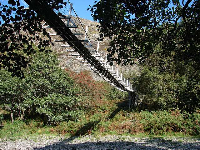
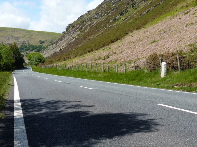
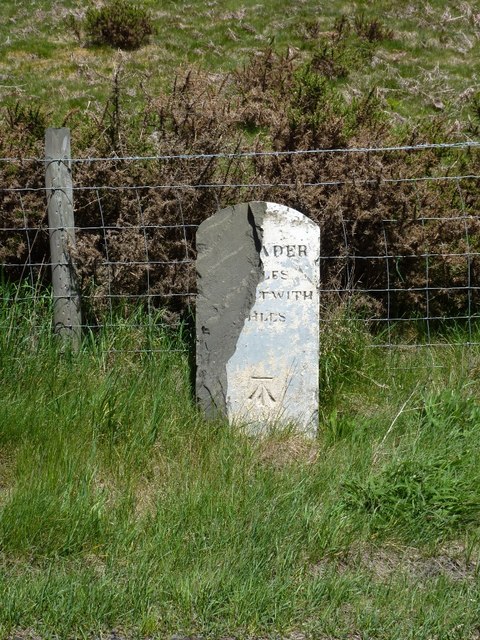
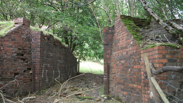
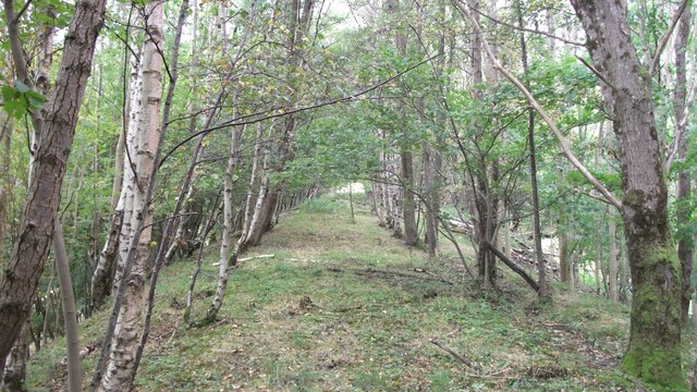
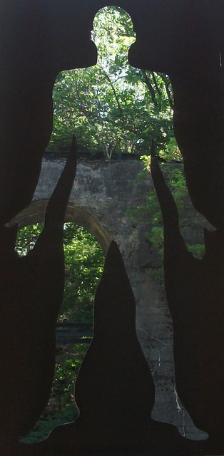
Gwynllyn Images

Images are sourced within 2km of 52.308996/-3.5449384 or Grid Reference SN9469. Thanks to Geograph Open Source API. All images are credited.

Gamallt The steep, scrub covered hillside of Gamallt
Gamallt
The steep, scrub covered hillside of Gamallt
Lay-by with valley view by A470
The track to Fergwm No access without permission!
The track to Fergwm
No access without permission!
A sagging power cable below Coed Cwm-coch
An abandoned farm trailer near Cwmbach
The River Wye, near Rhayader The River Wye to the North of Rhayader at the Point where the long-closed Mid-Wales Railway crossed the river.
The River Wye, near Rhayader
The River Wye to the North of Rhayader at the Point where the long-closed Mid-Wales Railway crossed the river.
Bridge support on the long-disused Mid-Wales Railway line. "Iron Man" hanging from an old bridge support from the long-closed Mid-Wales Railway, on the River Wye North of Rhayader.
Wikipedia entry - <span class="nowrap"><a title="https://en.wikipedia.org/wiki/Mid-Wales_Railway" rel="nofollow ugc noopener" href="https://en.wikipedia.org/wiki/Mid-Wales_Railway">Link</a><img style="margin-left:2px;" alt="External link" title="External link - shift click to open in new window" src="https://s1.geograph.org.uk/img/external.png" width="10" height="10"/></span>
Bridge support on the long-disused Mid-Wales Railway line.
"Iron Man" hanging from an old bridge support from the long-closed Mid-Wales Railway, on the River Wye North of Rhayader. Wikipedia entry - LinkExternal link
Old Milestone by the A470, below Gamallt, Rhayader Parish By the A470, in parish of Rhayader (Powys District), below Gamallt hill, on verge against hillside.

Surveyed

Milestone Society National ID: RAD_AYRY32
Old Milestone by the A470, below Gamallt, Rhayader Parish
By the A470, in parish of Rhayader (Powys District), below Gamallt hill, on verge against hillside. Surveyed Milestone Society National ID: RAD_AYRY32
Suspension footbridge across the River Wye The bridge is no longer safe and has been replaced by one a little further downstream.
Suspension footbridge across the River Wye
The bridge is no longer safe and has been replaced by one a little further downstream.
The Gamallt milestone in its setting Beside the A470, the damaged milestone is still a clear landmark. Close-up view of the remains of the stone in <a href="https://www.geograph.org.uk/photo/2430142">SN9570 : The Gamallt milestone - detail</a>
The Gamallt milestone in its setting
Beside the A470, the damaged milestone is still a clear landmark. Close-up view of the remains of the stone in SN9570 : The Gamallt milestone - detail
The Gamallt milestone - detail Clearly damaged beyond reasonable repair (especially if the missing chunk is not in the care of the council)
The Gamallt milestone - detail
Clearly damaged beyond reasonable repair (especially if the missing chunk is not in the care of the council)
Mid-Wales Railway long-disused cutting through the embankment <span class="nowrap"><a title="http://en.wikipedia.org/wiki/Mid_Wales_Line" rel="nofollow ugc noopener" href="http://en.wikipedia.org/wiki/Mid_Wales_Line">Link</a><img style="margin-left:2px;" alt="External link" title="External link - shift click to open in new window" src="https://s1.geograph.org.uk/img/external.png" width="10" height="10"/></span>
Closed and dismantled in 1962/63, this was a cutting through a long, raised embankment section along the River Wye North of Rhayader on the Mid-Wales Railway Line.
Mid-Wales Railway long-disused cutting through the embankment
LinkExternal link Closed and dismantled in 1962/63, this was a cutting through a long, raised embankment section along the River Wye North of Rhayader on the Mid-Wales Railway Line.
Mid-Wales Railway - closed in 1963 and reclaimed by nature. Mid-Wales Railway - section along the River Wye North of Rhayader. Closed in 1963 and reclaimed by nature.
Mid-Wales Railway - closed in 1963 and reclaimed by nature.
Mid-Wales Railway - section along the River Wye North of Rhayader. Closed in 1963 and reclaimed by nature.
View through the Iron-Man "Iron Man" hanging from an old bridge support from the old Mid-Wales Railway North of Rhayader.
View through the Iron-Man
"Iron Man" hanging from an old bridge support from the old Mid-Wales Railway North of Rhayader.
Gate in the Wye valley
Fergwm Farm and Wye Valley
Cwm Coch Llwyr ceffyl yn arwain i lawr o'r tir uchel at Gwm Coch. Yn y pellter, ar y dde, gellir gweld Ffarm Nannerth Fawr. 

A bridleway descending the high ground towards Cwm Coch. On the right in the distance is Nannerth Fawr Farm.
Cwm Coch
Llwyr ceffyl yn arwain i lawr o'r tir uchel at Gwm Coch. Yn y pellter, ar y dde, gellir gweld Ffarm Nannerth Fawr. A bridleway descending the high ground towards Cwm Coch. On the right in the distance is Nannerth Fawr Farm.
Trac sydd hefyd yn llwybr cyhoeddus / A track which is also a public footpath Trac sydd ar lethrau Penrhiw-Wen / A track on the slopes of Penrhiw-Wen.
Trac sydd hefyd yn llwybr cyhoeddus / A track which is also a public footpath
Trac sydd ar lethrau Penrhiw-Wen / A track on the slopes of Penrhiw-Wen.
Show me another place!

Gwynllyn is located at Grid Ref: SN9469 (Lat: 52.308996, Lng: -3.5449384)

Unitary Authority: Powys

Police Authority: Dyfed Powys

What 3 Words

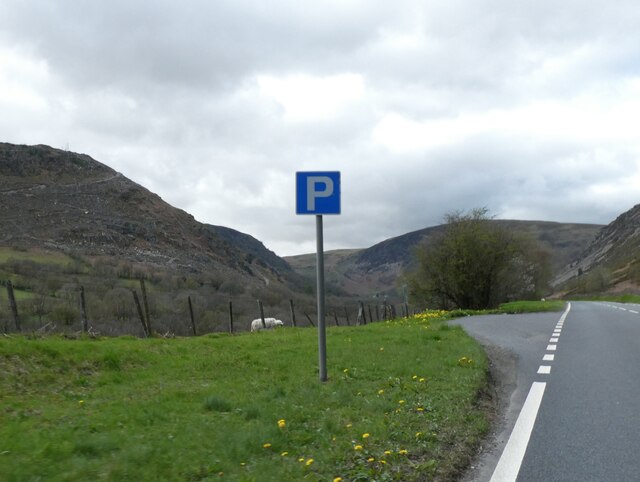
///pioneered.depravity.streaking. Near Rhayader, Powys

Related Wikis

Rhayader railway station

Rhayader railway station was a station serving the town of Rhayader, Powys, on the Mid Wales Railway line. It was opened in 1864 in Cwmdauddwr, a village...

Cwmdauddwr

Cwmdauddwr (rarely referred to by its correct full name of Llansanffraid Cwmteuddwr) is a village in Powys, Wales. It is contiguous with the town of Rhayader...

Marteg Halt railway station

Marteg Halt railway station was a station to the northwest of Rhayader, Powys, Wales. The station closed in 1962. == References == == Further reading... ==

Rhayader Rural District

Rhayader was, from 1894 to 1974, a rural district in the administrative county of Radnorshire, Wales. The district was formed by the Local Government Act...

Have you been to Gwynllyn?

Leave your review of Gwynllyn below (or comments, questions and feedback).