Ystradfellte Reservoir
Lake, Pool, Pond, Freshwater Marsh in Brecknockshire
Wales
Ystradfellte Reservoir

The requested URL returned error: 429 Too Many Requests
If you have any feedback on the listing, please let us know in the comments section below.
Ystradfellte Reservoir Images
Images are sourced within 2km of 51.848967/-3.5300462 or Grid Reference SN9417. Thanks to Geograph Open Source API. All images are credited.

![Llwybr ar Gefn Perfedd / Path on Cefn Perfedd Llwybr ar Gefn Perfedd yn mynd i lawr y waered tuag at Gwm Llia.
A path on Cefn Perfedd (trans. middle ridge) descends towards Cwm Llia (trans. [river] Llia valley).](https://s0.geograph.org.uk/geophotos/07/63/08/7630880_9596a42c.jpg)
![Carn Fan Llia / Fan Llia Cairn Llwybr islaw copa Fan Llia yn mynd heibio i garn o'r Oes Efydd.
A path below the summit of Fan Llia (trans [river] Llia peak) goes past a Bronze Age Cairn.](https://s0.geograph.org.uk/geophotos/07/63/08/7630884_9147afd5.jpg)
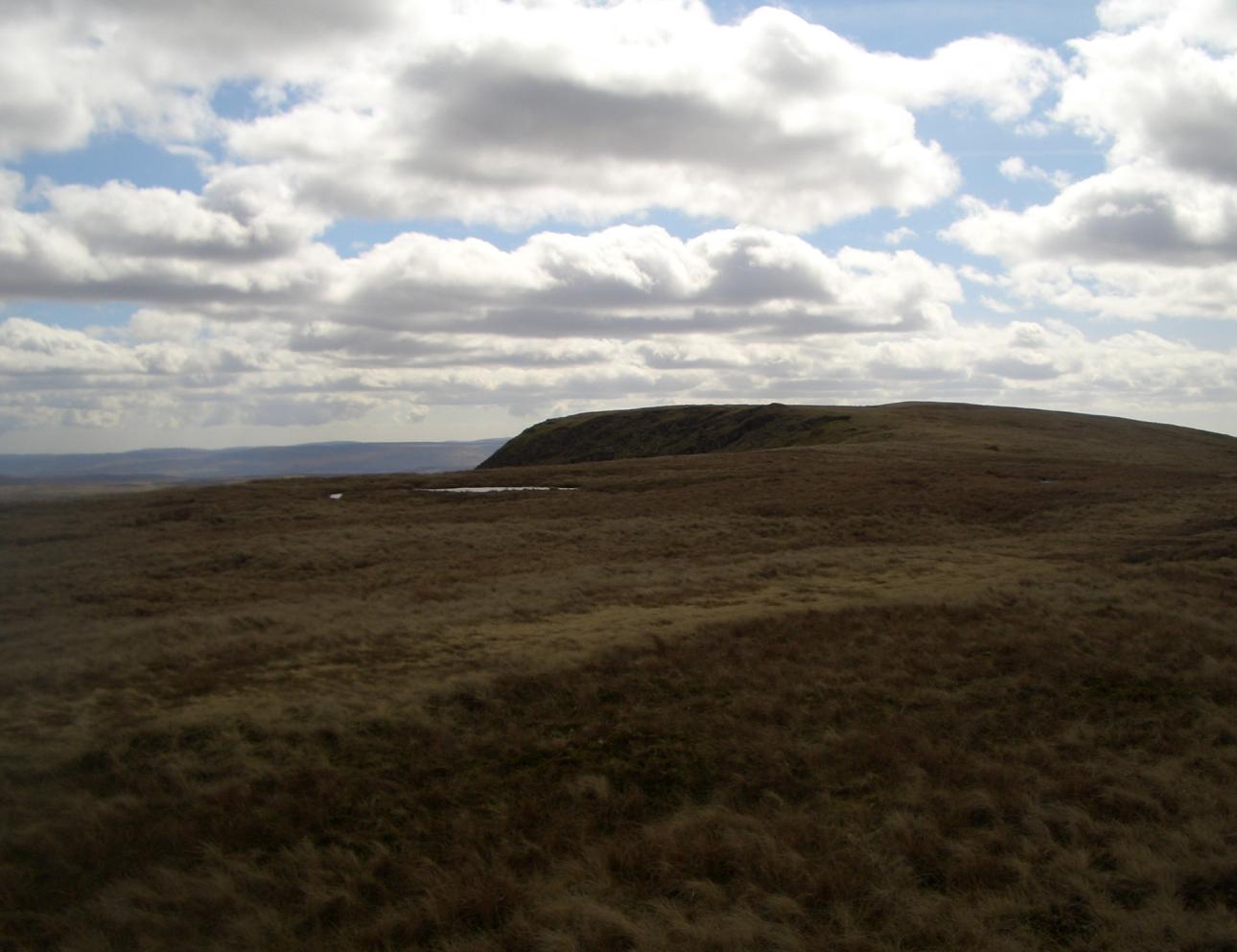
![Pwllyn o ddwr ar Fan Llia / Pool of water on Fan Llia Pwllyn o ddwr islaw copa Fan Llia a welir yn y pellter.
A pool of water below the summit of Fan Llia (trans. [river] Llia peak) visible in the distance.](https://s3.geograph.org.uk/geophotos/07/63/08/7630887_8fe5edad.jpg)

![Ar lethrau Fan Llia / On the slopes of Fan Llia Carreg ar lethrau Fan Llia. Mae Pen y Fan i'w weld yn y pellter o fewn dim o dan lefel y cwmwl.
A rock on the slopes of Fan Llia (trans. [river] Llia peak). Pen y Fan (trans. top of the peak) can be seen in the distance just below the cloud level.](https://s0.geograph.org.uk/geophotos/07/63/09/7630900_44fd391e.jpg)
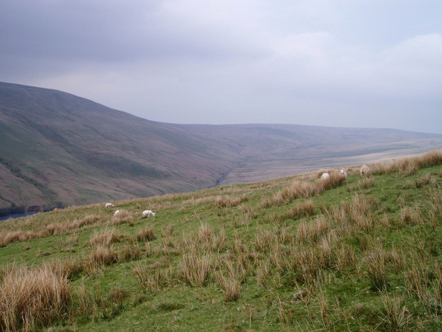
![Ar lethrau Fan Llia / On the slopes of Fan Llia Ar lethrau Fan Llia gyda phen ucha Cronfa Ddwr Ystradfellte yn y pellter.
On the slopes of Fan Llia (trans. [river] Llia peak) with the upper reaches of Ystradfellte Reservoir in the distance.](https://s1.geograph.org.uk/geophotos/07/63/09/7630905_1015919a.jpg)
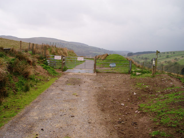
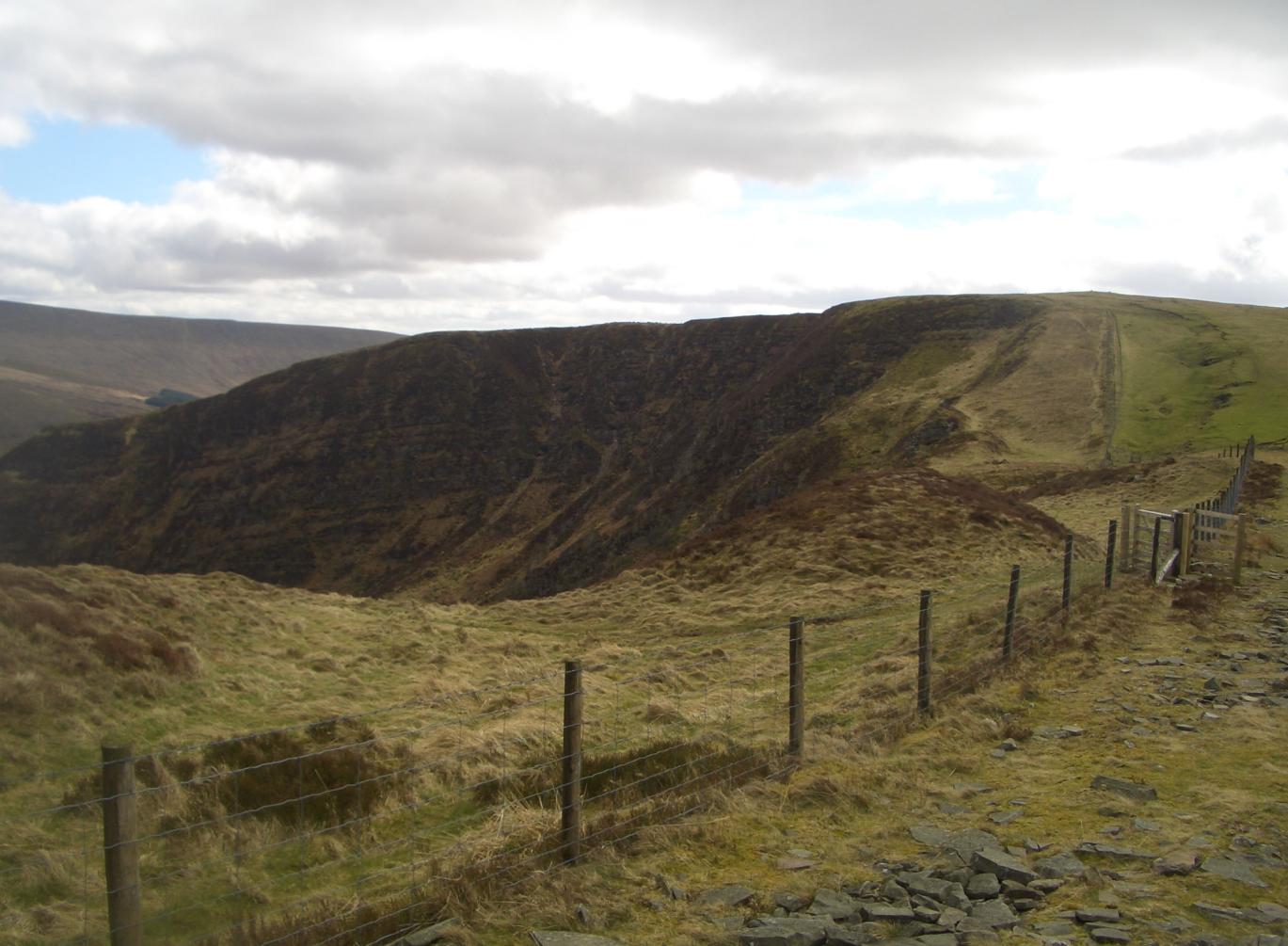
![At lethrau Fan Dringarth / On the Slopes of Fan Dringarth Rhostir ar lethrau Fan Dringarth.
Moorland on the slopes of Fan Dringarth (trans. [river] Dringarth peak).](https://s2.geograph.org.uk/geophotos/07/63/09/7630906_4f46d85a.jpg)
![Ar lethrau Fan Dringarth / On the slopes of Fan Dringarth Rhostir ar lethrau Fan Dringarth.
Moorland on the slopes of Fan Dringarth (trans. [river] Dringarth peak). .](https://s0.geograph.org.uk/geophotos/07/63/09/7630908_9ac4591c.jpg)


Ystradfellte Reservoir is located at Grid Ref: SN9417 (Lat: 51.848967, Lng: -3.5300462)
Unitary Authority: Powys
Police Authority: Dyfed Powys
What 3 Words
///union.countries.needed. Near Cray, Powys
Nearby Locations
Related Wikis
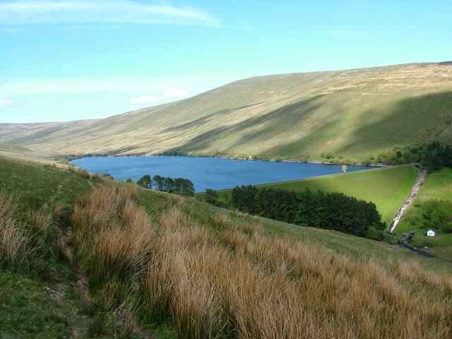
Ystradfellte Reservoir
Ystradfellte Reservoir is a water storage reservoir on the Afon Dringarth in the upland area of Fforest Fawr within the Brecon Beacons National Park in...
Fan Llia
Fan Llia is a subsidiary summit of Fan Fawr in the Fforest Fawr section of the Brecon Beacons National Park, Wales. In common with other peaks in the Fforest...
Maen Llia
Maen Llia is a standing stone which sits on moorland at grid reference SN924192 in the Brecon Beacons National Park in Powys, Wales. The stone which is...
Craig Cerrig-gleisiad
Craig Cerrig-gleisiad is a subsidiary summit of Fan Fawr in the Fforest Fawr section of the Brecon Beacons National Park, South Wales. It makes up half...
Have you been to Ystradfellte Reservoir?
Leave your review of Ystradfellte Reservoir below (or comments, questions and feedback).