Maen-serth
Heritage Site in Radnorshire
Wales
Maen-serth
Maen-serth is a significant heritage site located in Radnorshire, Wales. Situated just outside the small village of Cilmery, it is an ancient standing stone that holds historical and cultural importance.
The stone is composed of a single, large slab of local red sandstone, measuring approximately 3.5 meters in height and 1.5 meters in width. Its impressive size and distinctive shape make it a prominent landmark in the area. Maen-serth is believed to have been erected during the Bronze Age, around 2000 BCE, making it over 4,000 years old.
The stone is surrounded by a small, well-maintained grassy area, with a pathway leading up to it. There are information boards nearby providing visitors with details about its historical significance. Many visitors are drawn to Maen-serth due to its mysterious aura and the sense of connection to ancient civilizations.
There are several theories about the purpose of Maen-serth. Some researchers believe it was used as a boundary marker or a religious monument, while others speculate that it may have served as a ceremonial site or even a burial marker. The stone's location on a hilltop offers panoramic views of the surrounding countryside, further adding to its allure.
Maen-serth is protected as a scheduled ancient monument, ensuring its preservation for future generations. It is a popular destination for locals and tourists alike, attracting those interested in archaeology, history, and the mysteries of the past. Its sheer age and enigmatic presence make it a must-visit heritage site in Radnorshire.
If you have any feedback on the listing, please let us know in the comments section below.
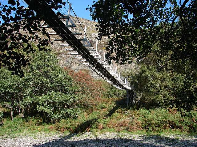
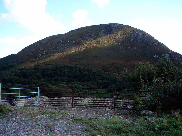
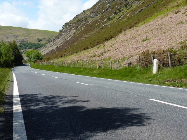
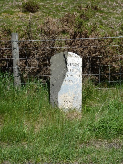
Maen-serth Images
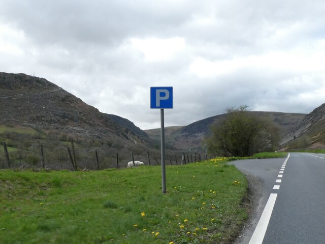
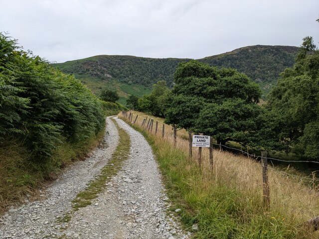
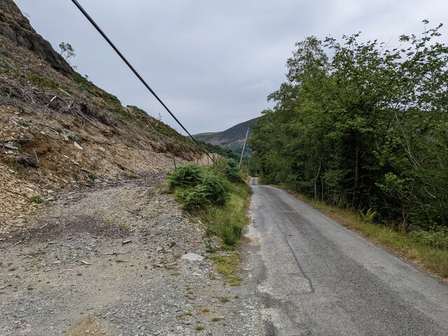
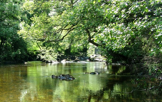
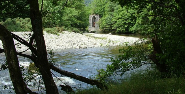
Images are sourced within 2km of 52.313/-3.548 or Grid Reference SN9469. Thanks to Geograph Open Source API. All images are credited.
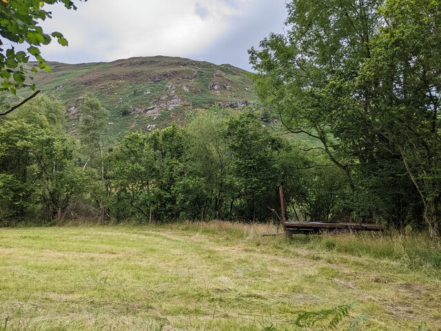
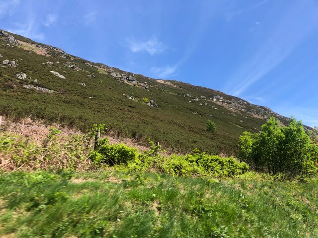
![Gamult [hill] Viewed from Abermarteg beside the A470/A44 road.](https://s1.geograph.org.uk/geophotos/06/04/58/6045821_db519f1a.jpg)
Maen-serth is located at Grid Ref: SN9469 (Lat: 52.313, Lng: -3.548)
Unitary Authority: Powys
Police Authority: Dyfed Powys
What 3 Words
///bravest.placidly.flamingo. Near Rhayader, Powys
Nearby Locations
Related Wikis

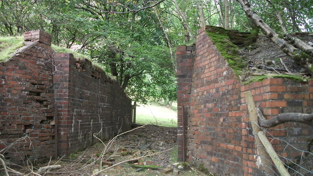
Marteg Halt railway station
Marteg Halt railway station was a station to the northwest of Rhayader, Powys, Wales. The station closed in 1962. == References == == Further reading... ==

Afon Marteg
The Afon Marteg is a river in Powys, Wales. It is about 15 km long, flowing roughly south-west to join the Wye at Pont Marteg (grid reference SN952714...

Rhayader railway station
Rhayader railway station was a station serving the town of Rhayader, Powys, on the Mid Wales Railway line. It was opened in 1864 in Cwmdauddwr, a village...

Cwmdauddwr
Cwmdauddwr (rarely referred to by its correct full name of Llansanffraid Cwmteuddwr) is a village in Powys, Wales. It is contiguous with the town of Rhayader...
Have you been to Maen-serth?
Leave your review of Maen-serth below (or comments, questions and feedback).