Peppermill Dam
Lake, Pool, Pond, Freshwater Marsh in Fife
Scotland
Peppermill Dam

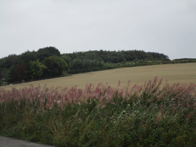
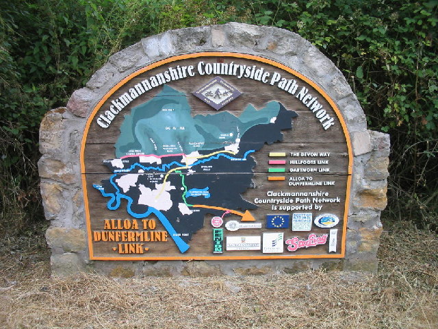
Peppermill Dam, located in Fife, Scotland, is a picturesque freshwater marsh encompassing a lake, pool, pond, and surrounding wetlands. It is a significant ecological site that supports a diverse range of plant and animal species, making it an important habitat for local wildlife.
The main feature of Peppermill Dam is its expansive lake, which stretches across a considerable area and serves as a sanctuary for various aquatic organisms. The lake is fed by several small streams and springs, ensuring a constant flow of freshwater. Its calm and clear waters create a tranquil environment for both wildlife and visitors alike.
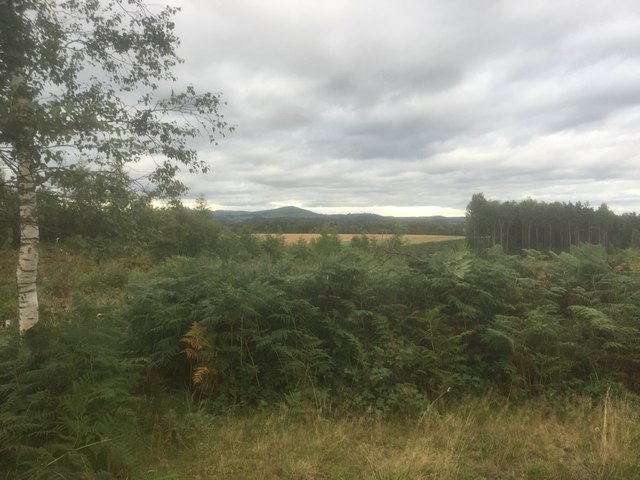
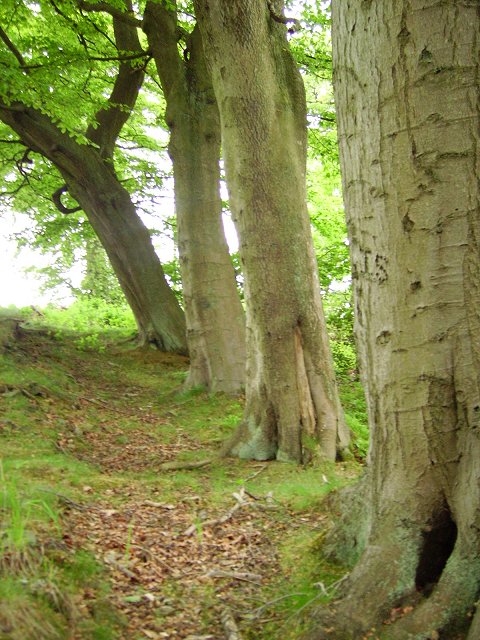
Surrounding the lake are lush wetlands, characterized by dense vegetation and diverse flora. The marshland is home to a plethora of plant species, including water lilies, reeds, and cattails, which provide a vital habitat for many insects, birds, and amphibians.
The diverse range of wildlife found in Peppermill Dam is a result of its varied aquatic and marshland habitats. Numerous bird species, such as swans, ducks, and herons, can be spotted either resting on the water or soaring above the wetlands. The marshes also attract amphibians like frogs and toads, while the lake supports a variety of fish species, including pike and perch.
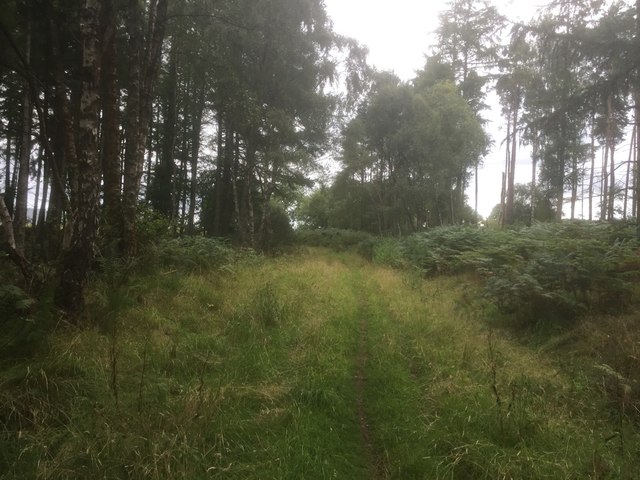
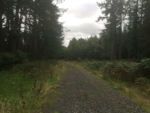
Peppermill Dam is not only an important natural habitat but also provides recreational opportunities for visitors. It offers a peaceful and scenic setting for activities such as fishing, birdwatching, and nature walks. The surrounding wetlands and their rich biodiversity make it a popular destination for nature enthusiasts and photographers who are drawn to its serene beauty and abundant wildlife.
If you have any feedback on the listing, please let us know in the comments section below.
Peppermill Dam Images
Images are sourced within 2km of 56.084983/-3.6922972 or Grid Reference NS9489. Thanks to Geograph Open Source API. All images are credited.


Peppermill Dam is located at Grid Ref: NS9489 (Lat: 56.084983, Lng: -3.6922972)
Unitary Authority: Fife
Police Authority: Fife
What 3 Words
///builders.vaccines.sonic. Near Kincardine, Fife
Nearby Locations
Related Wikis

Tulliallan Castle
Tulliallan Castle is a large house in Kincardine, Fife, Scotland. It is the second structure to have the name, and is a mixture of Gothic and Italian style...

Kilbagie railway station
Kilbagie railway station served the town of Clackmannan, Clackmannanshire, Scotland from 1894 to 1930 on the Kincardine Line. == History == The station...

Tulliallan
Tulliallan (Gaelic tulach-aluinn, 'Beautiful knoll') was an estate in Perthshire, Scotland, near to Kincardine, and a parish. The Blackadder lairds of...
Kincardine, Fife
Kincardine ( kin-KAR-din; Scottish Gaelic: Cinn Chàrdainn) or Kincardine-on-Forth is a small town on the north shore of the Firth of Forth, in Fife, Scotland...
Brucefield House
Brucefield is an 18th-century country house in Clackmannanshire, Scotland. It is located 4 kilometres (2.5 mi) east of Clackmannan. The house was largely...

Bogside (Fife) railway station
Bogside (Fife) railway station served the hamlet of Bogside, Fife, Scotland from 1850 to 1958 on the Stirling and Dunfermline Railway. == History == The...
Kincardine power station
Kincardine power station was a 760 MW coal-fired power station on the shores of the upper Firth of Forth by Kincardine on Forth, Fife, Scotland. ��2�...
Kincardine railway station
Kincardine railway station served the town of Kincardine, Fife, Scotland from 1893 to 1930 on the Kincardine Line. == History == The station opened on...
Nearby Amenities
Located within 500m of 56.084983,-3.6922972Have you been to Peppermill Dam?
Leave your review of Peppermill Dam below (or comments, questions and feedback).