Gomeldon

Settlement in Wiltshire

England

Gomeldon

Winterslow Road south of Manor Farm
Winterslow Road south of Manor Farm Credit: Stuart Logan

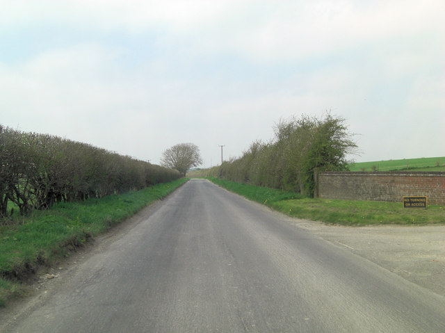
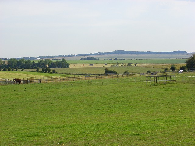
Gomeldon is a small village located in the county of Wiltshire, England. Situated approximately 6 miles east of the city of Salisbury, Gomeldon is a rural community with a population of around 400 residents. The village is nestled in the picturesque countryside, surrounded by rolling hills and farmland.

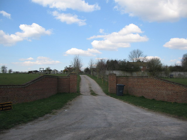
Historically, Gomeldon dates back to the Domesday Book of 1086, where it was recorded as "Gumelindone." The village has maintained its rural charm and traditional character throughout the years. It is primarily a residential area, with a scattering of farmhouses and cottages dotting the landscape.

Gomeldon is well-connected to neighboring towns and cities through a network of roads. The A338 road runs to the west of the village, providing easy access to Salisbury and the wider Wiltshire area. The village also benefits from a regular bus service, ensuring good transport links for its residents.

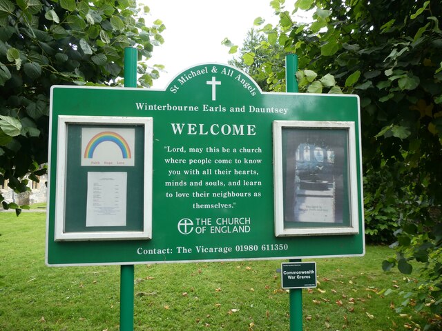
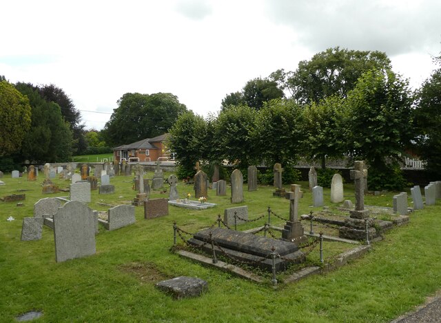
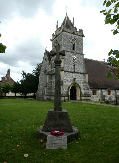
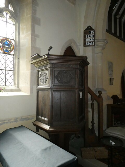
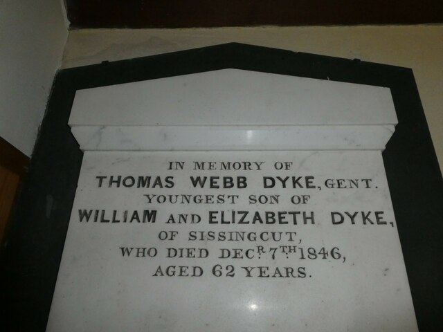
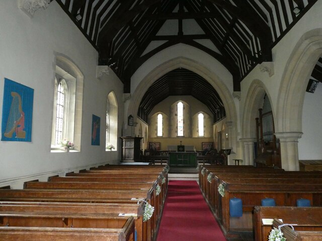
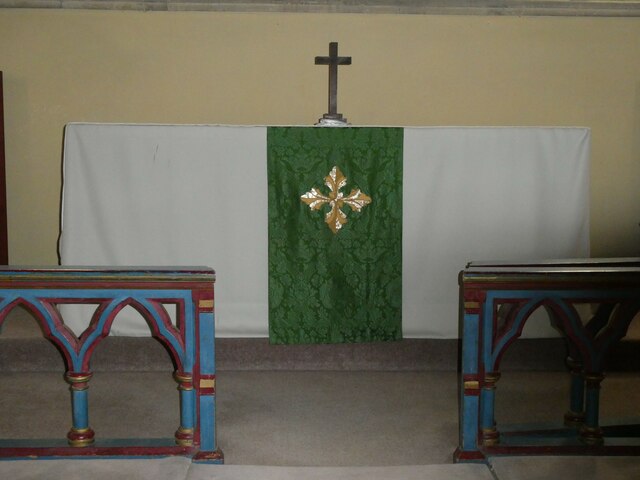
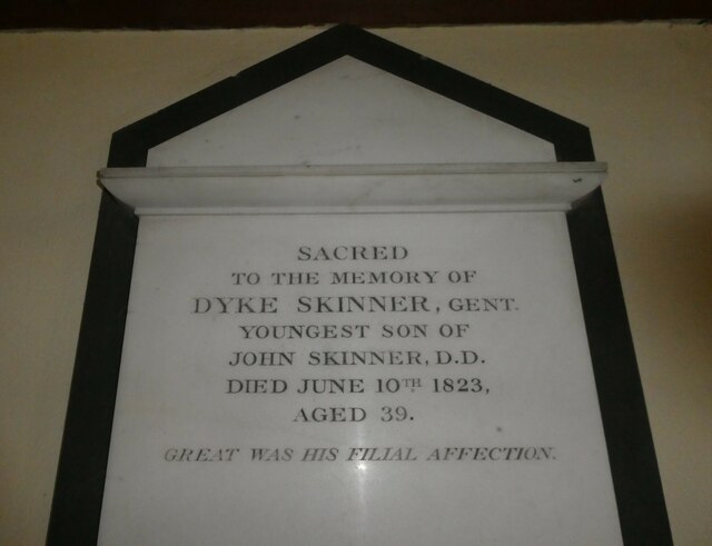
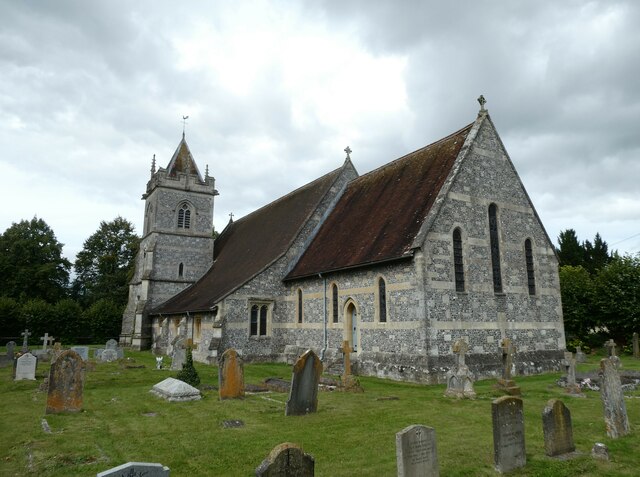
A focal point of the village is the St. Andrew's Church, a Grade II listed building that dates back to the 13th century. The church, with its distinctive architecture and stained glass windows, serves as a place of worship and a testament to the village's rich heritage.

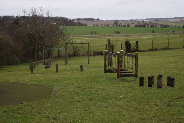
Although Gomeldon is a small village, it offers a close-knit community atmosphere and a peaceful way of life. Residents can enjoy the tranquility of the countryside while still being within reach of the amenities and services provided in nearby towns.

If you have any feedback on the listing, please let us know in the comments section below.

Gomeldon Images

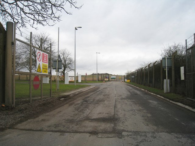
Images are sourced within 2km of 51.11951/-1.735644 or Grid Reference SU1835. Thanks to Geograph Open Source API. All images are credited.

Winterslow Road south of Manor Farm
Recreation ground at East Gomeldon
Manor Farm A view looking north along the entrance road to Manor Farm.
Manor Farm
A view looking north along the entrance road to Manor Farm.
Paddocks, Gomeldon The view from the end of the public road in East Gomeldon. Paddocks and hay meadows occupy the area outside of the Porton Down perimeter. There are also hay meadows within the Porton Down MOD area.
Paddocks, Gomeldon
The view from the end of the public road in East Gomeldon. Paddocks and hay meadows occupy the area outside of the Porton Down perimeter. There are also hay meadows within the Porton Down MOD area.
Who left the gate open? Using an old road map I forgot about all the MOD land in the area! So much for a short cut to the A30.
Who left the gate open?
Using an old road map I forgot about all the MOD land in the area! So much for a short cut to the A30.
Back entrance to MOD land! See <a href="https://www.geograph.org.uk/photo/1706982">SU2036 : Who left the gate open?</a> for the view just to the left of this open gate.
Back entrance to MOD land!
See SU2036 : Who left the gate open? for the view just to the left of this open gate.
Looking from Winterbourne Dauntsey into Winterbourne Earls
Looking from Winterbourne Earls into Winterbourne Dauntsey
St Michael & All Angels, Winterbourne Earls & Dauntsey (1) Noticeboard
St Michael & All Angels, Winterbourne Earls & Dauntsey (1)
Noticeboard
St Michael & All Angels, Winterbourne Earls & Dauntsey (2) Looking across the churchyard towards the hall.
St Michael & All Angels, Winterbourne Earls & Dauntsey (2)
Looking across the churchyard towards the hall.
St Michael & All Angels, Winterbourne Earls & Dauntsey (3) War memorial
St Michael & All Angels, Winterbourne Earls & Dauntsey (3)
War memorial
St Michael & All Angels, Winterbourne Earls & Dauntsey (4) The pulpit
St Michael & All Angels, Winterbourne Earls & Dauntsey (4)
The pulpit
St Michael & All Angels, Winterbourne Earls & Dauntsey (1) 19th Century memorial
St Michael & All Angels, Winterbourne Earls & Dauntsey (1)
19th Century memorial
St Michael & All Angels, Winterbourne Earls & Dauntsey (5) Looking from the chancel into the nave
St Michael & All Angels, Winterbourne Earls & Dauntsey (5)
Looking from the chancel into the nave
St Michael & All Angels, Winterbourne Earls & Dauntsey (6) The altar
St Michael & All Angels, Winterbourne Earls & Dauntsey (6)
The altar
St Michael & All Angels, Winterbourne Earls & Dauntsey (7) Memorial to a gent
St Michael & All Angels, Winterbourne Earls & Dauntsey (7)
Memorial to a gent
St Michael & All Angels, Winterbourne Earls & Dauntsey (8) Ancient stained glass windows
St Michael & All Angels, Winterbourne Earls & Dauntsey (8)
Ancient stained glass windows
St Michael & All Angels, Winterbourne Earls & Dauntsey (9) August 2023
St Michael & All Angels, Winterbourne Earls & Dauntsey (9)
August 2023
Show me another place!

Gomeldon is located at Grid Ref: SU1835 (Lat: 51.11951, Lng: -1.735644)

Unitary Authority: Wiltshire

Police Authority: Wiltshire

What 3 Words

///stint.ladders.snowy. Near Allington, Wiltshire

Related Wikis

Gomeldon

Gomeldon is a small village in the valley of the River Bourne in Wiltshire, England, in the civil parish of Idmiston. It lies about 5 miles (8 km) north...

Porton Meadows

Porton Meadows (grid reference SU185362) is a 17.6 hectare biological Site of Special Scientific Interest in Wiltshire, England, notified in 1988. ��2...

Winterbourne Gunner

Winterbourne Gunner is a village and former civil parish, now in the parish of Winterbourne, in Wiltshire, England, about 4 miles (6 km) northeast of Salisbury...

Defence CBRN Centre

The Defence Chemical, Biological, Radiological and Nuclear Centre (the Defence CBRN Centre or DCBRNC for short) is a United Kingdom military facility at...

Nearby Amenities

Located within 500m of 51.11951,-1.735644
East Gomeldon
Place: hamlet
Source: npe
Lat/Long: 51.1196157/-1.7292275
Power: pole
Lat/Long: 51.1234253/-1.7321738
Power: pole
Lat/Long: 51.1226671/-1.7321116
Power: pole
Lat/Long: 51.1213051/-1.7326032
Power: pole
Lat/Long: 51.12069/-1.7331457
Power: pole
Lat/Long: 51.1219334/-1.7320661
Barrier: kissing_gate
Lat/Long: 51.1201367/-1.7412107
Barrier: kissing_gate
Lat/Long: 51.1192449/-1.7409939
Telephone
Defibrillator
Addr City: Gomeldon
Addr Postcode: SP4 6LD
Addr Street: Ladysmith
Booth: KX100
Covered: booth
Defibrillator Location: inside phone box, Ladysmith, Gomeldon
Emergency: defibrillator
Man Made: telephone_box
Lat/Long: 51.1188318/-1.7331127
Gomeldon
Place: hamlet
Lat/Long: 51.1201336/-1.7350013
The data included in this document is from www.openstreetmap.org. The data is made available under ODbL.

Have you been to Gomeldon?

Leave your review of Gomeldon below (or comments, questions and feedback).