Golynos
Settlement in Monmouthshire
Wales
Golynos

Golynos is a small village located in Monmouthshire, Wales. It is situated near the border with England, surrounded by picturesque countryside and rolling hills. The village is known for its peaceful and rural setting, making it a popular destination for those seeking a quiet and tranquil retreat.
Golynos has a long history dating back to medieval times, with several historic buildings and landmarks still standing today. The village church, St. Mary's, is a notable feature and dates back to the 12th century. Golynos also has a village hall, a primary school, and a few small shops and businesses catering to the local community.
The village is well-connected by road, with easy access to nearby towns and cities such as Monmouth and Abergavenny. Golynos is also a popular starting point for hiking and walking trails, with several scenic routes passing through the surrounding countryside.
Overall, Golynos is a charming and idyllic village, perfect for those looking to escape the hustle and bustle of city life and enjoy the beauty of the Welsh countryside.
If you have any feedback on the listing, please let us know in the comments section below.
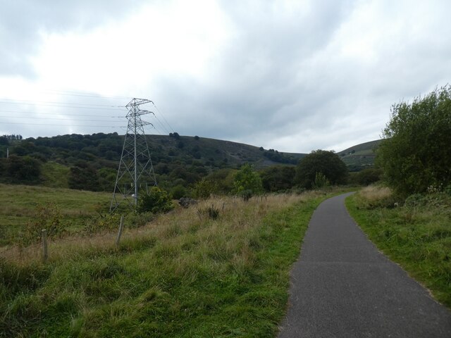
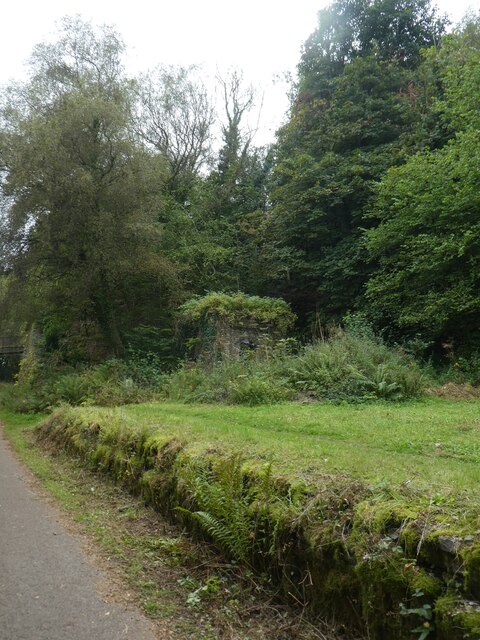
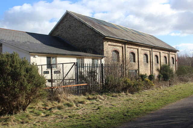
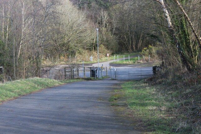
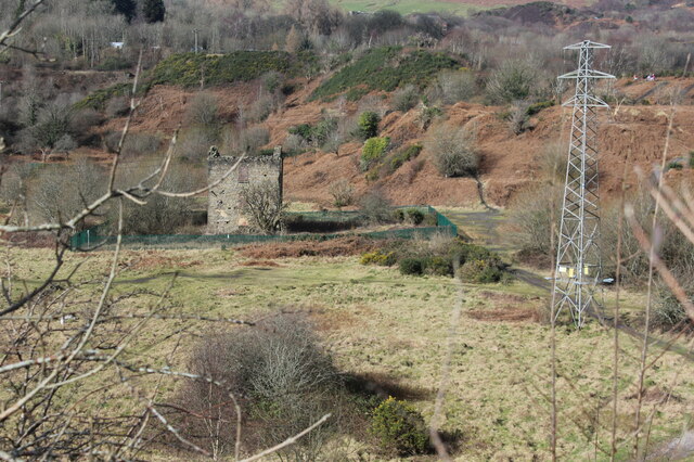
Golynos Images
Images are sourced within 2km of 51.734384/-3.079386 or Grid Reference SO2504. Thanks to Geograph Open Source API. All images are credited.


Golynos is located at Grid Ref: SO2504 (Lat: 51.734384, Lng: -3.079386)
Unitary Authority: Torfaen
Police Authority: Gwent
What 3 Words
///stroke.replayed.insist. Near Abertillery, Blaenau Gwent
Nearby Locations
Related Wikis

Abersychan and Talywain railway station
Abersychan and Talywain station served the town of Abersychan in the Welsh county of Monmouthshire. The station was the meeting point for two major pre...
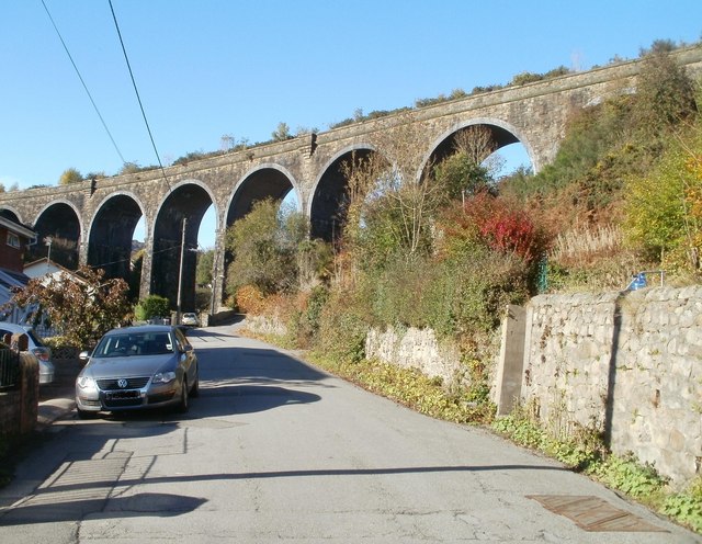
Garndiffaith Viaduct
Garndiffaith Viaduct is a largely stone-built railway viaduct that formerly carried the former Brynmawr and Blaenavon Railway over the valley of the Avon...

Talywain
Talywain (Welsh: Talywaun) is situated in Garndiffaith, Abersychan and Pentwyn in Torfaen in south east Wales, within the historic boundaries of Monmouthshire...
Garndiffaith
Garndiffaith is a village located in Torfaen, south east Wales. It is a small rural area situated between Talywain and Varteg, three miles north of the...
Nearby Amenities
Located within 500m of 51.734384,-3.079386Have you been to Golynos?
Leave your review of Golynos below (or comments, questions and feedback).