Llyn Llaethdy
Lake, Pool, Pond, Freshwater Marsh in Anglesey
Wales
Llyn Llaethdy
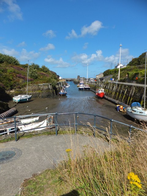
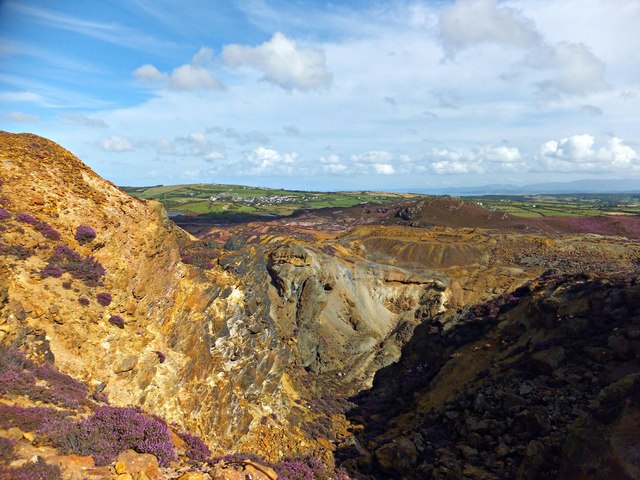
Llyn Llaethdy is a picturesque freshwater marsh located in Anglesey, Wales. Spread over an area of approximately 20 acres, it is known for its tranquil surroundings and diverse ecosystem. The name "Llyn Llaethdy" translates to "Dairy Pool" in English, which is believed to have originated from its historical association with a nearby dairy farm.
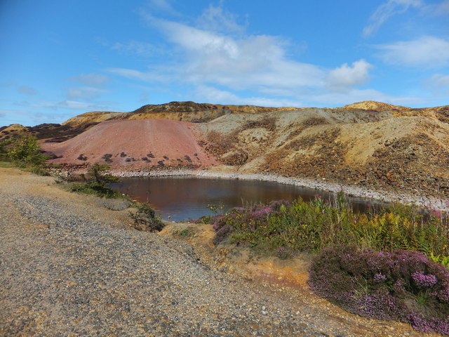
The lake is primarily fed by rainfall and a small stream that flows through the marsh. Due to its shallow nature, it is often referred to as a pool or pond rather than a traditional lake. The water in Llyn Llaethdy is clear and fresh, supporting a variety of aquatic life including fish, amphibians, and numerous species of waterfowl.
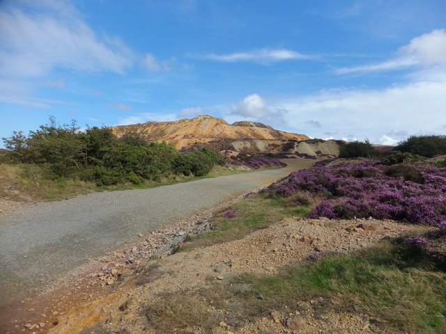
Surrounded by lush green vegetation and reed beds, the marsh area of Llyn Llaethdy provides a suitable habitat for a wide range of plant and animal species. The presence of tall grasses, sedges, and rushes contributes to the overall biodiversity of the area, attracting various insects and birds.
Llyn Llaethdy is a popular destination for nature enthusiasts and birdwatchers, offering opportunities for leisurely walks and bird spotting. The tranquil ambiance and beautiful scenery make it an ideal location for relaxation and contemplation.
Overall, Llyn Llaethdy is a charming freshwater marsh that showcases the natural beauty of Anglesey. Its diverse ecosystem, clear waters, and abundant flora and fauna make it a haven for wildlife and a delightful destination for visitors seeking a peaceful retreat in nature.
If you have any feedback on the listing, please let us know in the comments section below.
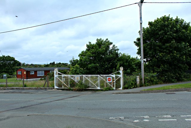
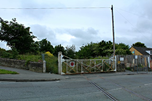
Llyn Llaethdy Images
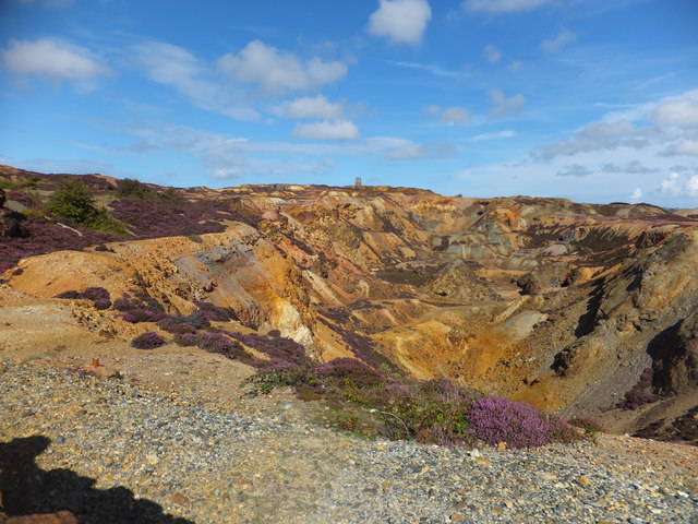
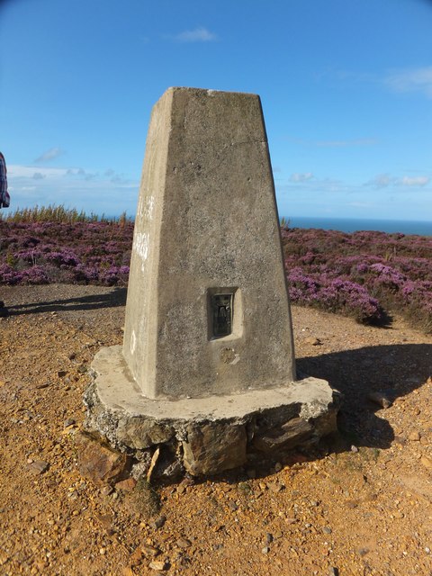
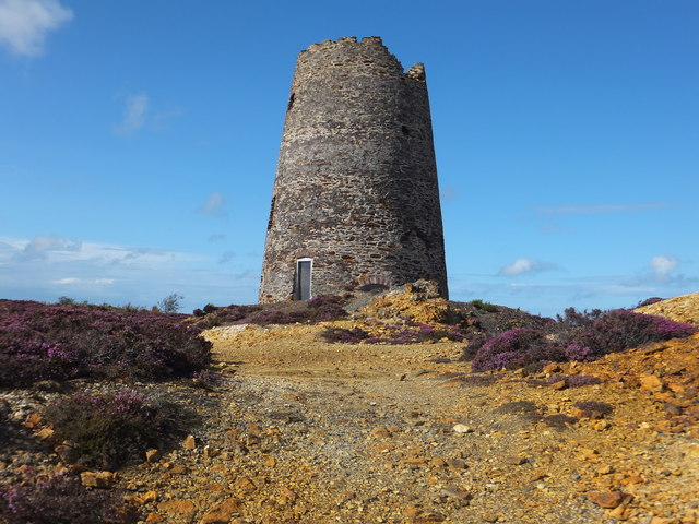
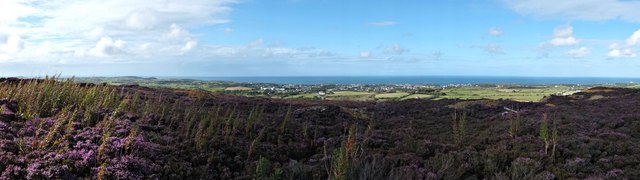
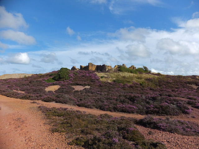
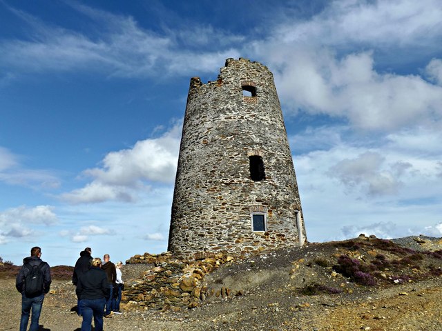
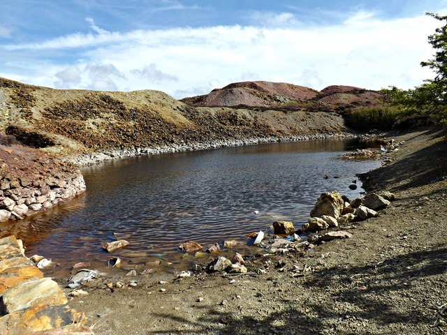
Images are sourced within 2km of 53.39759/-4.3444738 or Grid Reference SH4491. Thanks to Geograph Open Source API. All images are credited.
Llyn Llaethdy is located at Grid Ref: SH4491 (Lat: 53.39759, Lng: -4.3444738)
Unitary Authority: Isle of Anglesey
Police Authority: North Wales
What 3 Words
///unwanted.towns.crackles. Near Amlwch, Isle of Anglesey
Nearby Locations
Related Wikis

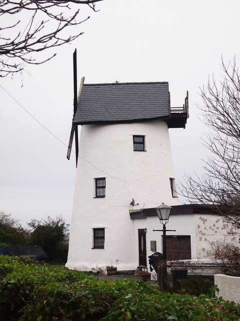
Melin Adda
Melin Adda is a windmill near Amlwch, Anglesey, (OS reference: SH 440921) which was built in the 1790s and closed down in 1912. The mill was turned into...

Ysgol Syr Thomas Jones
Ysgol Syr Thomas Jones is a mixed bilingual community school for pupils between 11 and 18 years of age in the Pentrefelin area of Amlwch, Anglesey. The...

Tyddyn Dai
Tyddyn Dai is a hamlet in the community of Amlwch, Anglesey, Wales, which is 141.4 miles (227.6 km) from Cardiff and 220.7 miles (355.1 km) from London...

Amlwch
Amlwch (Welsh: [ˈamlʊχ]) is a port town and community in Wales. It is situated on the north coast of the Isle of Anglesey, on the A5025 which connects...
Nearby Amenities
Located within 500m of 53.39759,-4.3444738Have you been to Llyn Llaethdy?
Leave your review of Llyn Llaethdy below (or comments, questions and feedback).