Bow Linn
Lake, Pool, Pond, Freshwater Marsh in Dunbartonshire
Scotland
Bow Linn

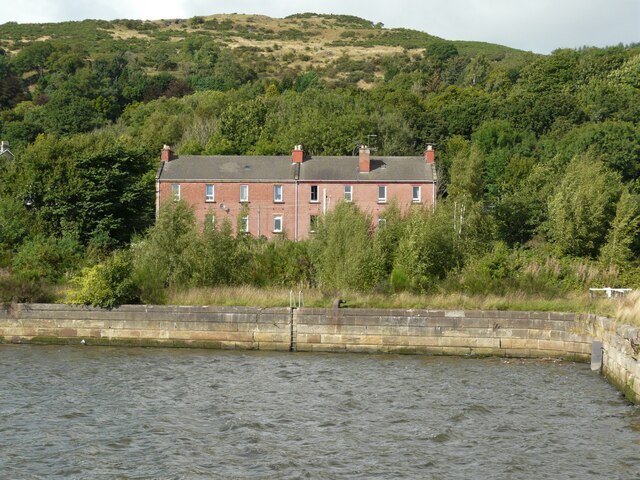
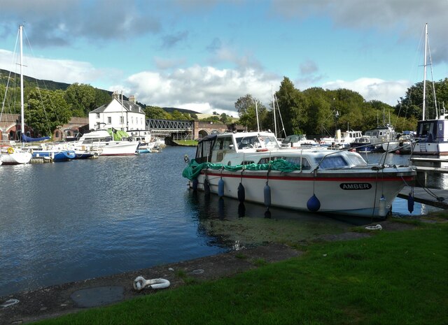
Bow Linn, located in Dunbartonshire, is a picturesque freshwater marsh that encompasses a lake, a pool, a pond, and an expansive marshland. Nestled amidst the stunning Scottish landscape, this natural haven is a treat for nature enthusiasts and avid birdwatchers alike.
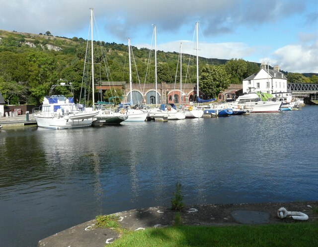
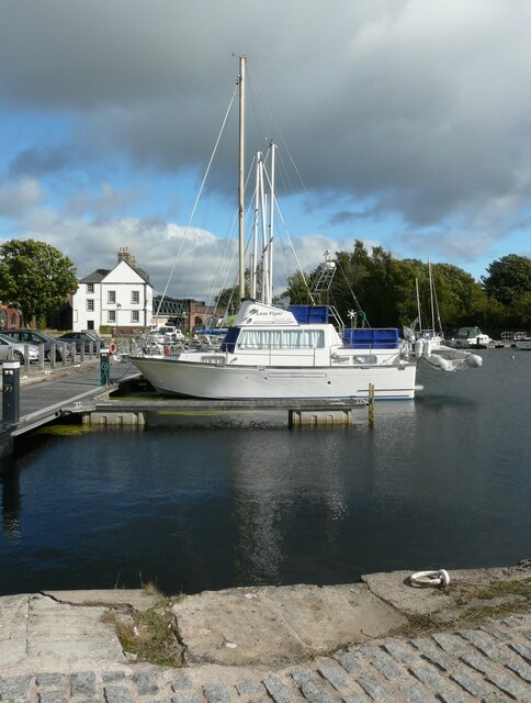
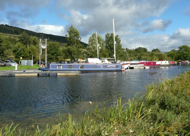
The main attraction of Bow Linn is its serene lake, which stretches for approximately 2.5 kilometers. Its crystal clear waters serve as a habitat for various species of fish, including trout and pike. Anglers can often be seen casting their lines, hoping to reel in a prized catch. The lake also offers opportunities for boating and kayaking, allowing visitors to explore the tranquil surroundings at their own pace.
Adjacent to the lake, there is a smaller pool, which acts as a breeding ground for amphibians and insects. This shallow body of water supports a diverse array of aquatic plants and invertebrates, contributing to the overall ecosystem of the area.
The pond at Bow Linn is a haven for waterfowl, attracting a wide range of bird species throughout the year. Visitors can spot graceful swans gliding across the water, as well as ducks, geese, and herons. The pond is surrounded by reed beds and tall grasses, providing a safe haven for nesting birds and other small animals.
The marshland at Bow Linn is a haven for wetland plants, such as sedges and reeds, which thrive in the waterlogged soil. This lush vegetation supports a variety of animal life, including frogs, toads, and dragonflies. The marshland is crisscrossed by a network of boardwalks and trails, allowing visitors to explore its beauty up close while minimizing their impact on the delicate ecosystem.
Overall, Bow Linn in Dunbartonshire offers a unique opportunity to experience the beauty and tranquility of a freshwater marsh. With its diverse range of habitats and abundant wildlife, it is a must-visit destination for nature lovers seeking solace in
If you have any feedback on the listing, please let us know in the comments section below.
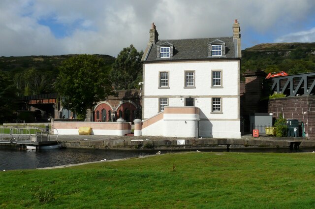
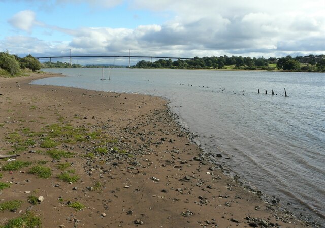
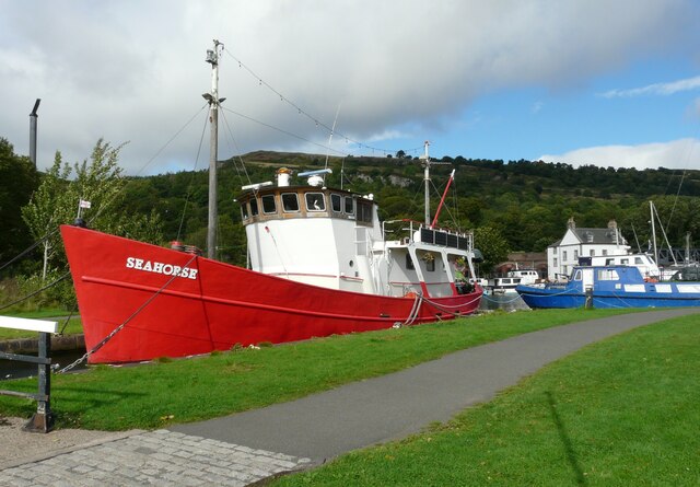
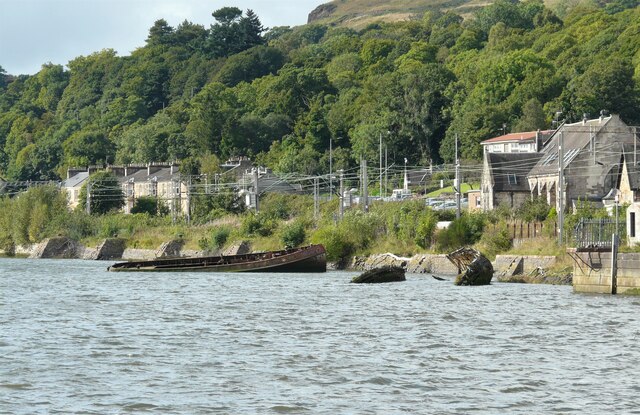
Bow Linn Images
Images are sourced within 2km of 55.942882/-4.4958977 or Grid Reference NS4475. Thanks to Geograph Open Source API. All images are credited.


Bow Linn is located at Grid Ref: NS4475 (Lat: 55.942882, Lng: -4.4958977)
Unitary Authority: West Dunbartonshire
Police Authority: Argyll and West Dunbartonshire
What 3 Words
///gardens.composers.validated. Near Old Kilpatrick, West Dunbartonshire
Nearby Locations
Related Wikis
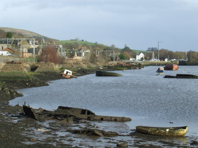
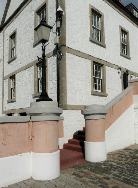
Bowling, West Dunbartonshire
Bowling (Scots: Bowlin, Scottish Gaelic: Bolan) is a village in West Dunbartonshire, Scotland, with a population of 740 (2015). It lies on the north bank...

Bowling railway station (Lanarkshire and Dunbartonshire Railway)
Bowling railway station was a railway station located in the village of Bowling, Scotland, on the Lanarkshire and Dunbartonshire Railway. Bowling station...

Littlemill distillery
Littlemill distillery was a Scottish malt whisky distillery in Bowling, West Dunbartonshire and is proven to be Scotland's first and oldest licensed whisky...
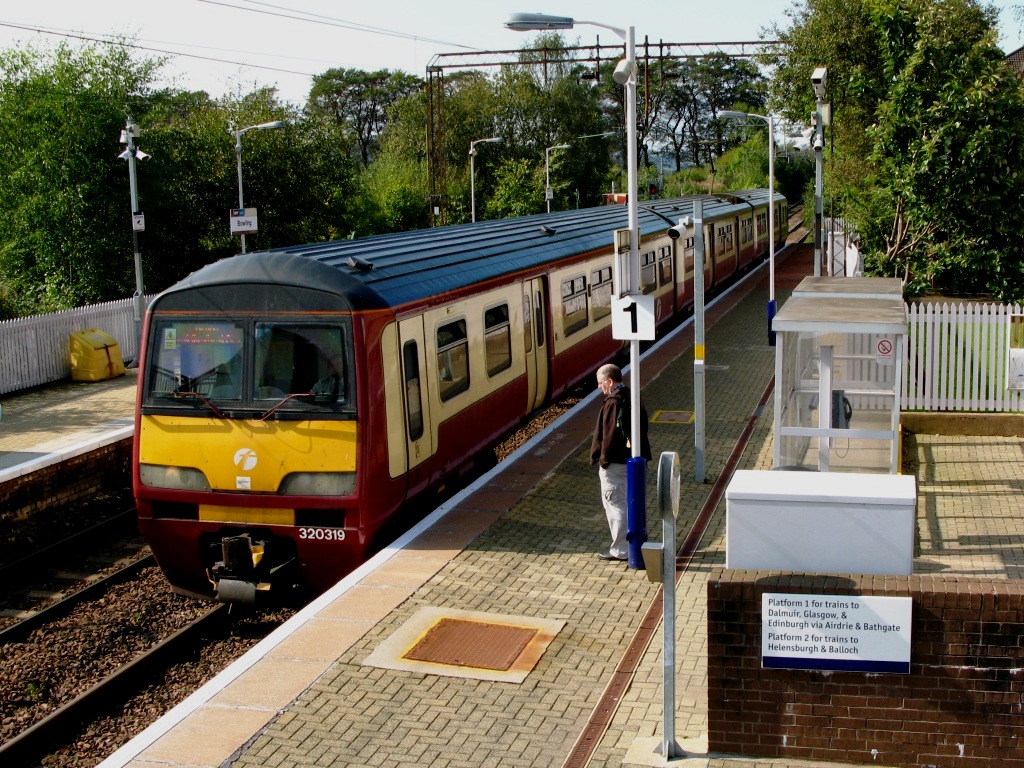
Bowling railway station
Bowling railway station serves the village of Bowling in the West Dunbartonshire region of Scotland. This station is on the North Clyde Line, between Kilpatrick...
Nearby Amenities
Located within 500m of 55.942882,-4.4958977Have you been to Bow Linn?
Leave your review of Bow Linn below (or comments, questions and feedback).