Pentrefelin
Settlement in Anglesey
Wales
Pentrefelin
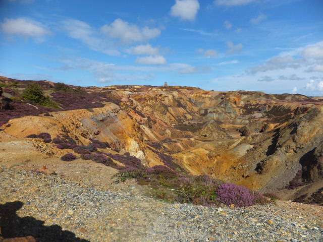
Pentrefelin is a small village located on the island of Anglesey, off the northwest coast of Wales. Situated near the Menai Strait, Pentrefelin is surrounded by picturesque countryside and offers stunning views of the Snowdonia National Park.
With a population of around 200 residents, Pentrefelin is a close-knit community that thrives on its peaceful and idyllic setting. The village is characterized by its charming traditional stone houses and narrow winding lanes, which add to its rural appeal.
Despite its small size, Pentrefelin has a rich history. It is believed to have been settled since ancient times, with evidence of Bronze Age burial mounds and Iron Age hillforts in the surrounding area. The village is also home to a historic church, St. Ffinan's Church, which dates back to the 12th century and is a notable architectural landmark.
While primarily a residential area, Pentrefelin benefits from its proximity to larger towns and amenities. The nearby town of Menai Bridge provides residents with access to shops, restaurants, and schools. Additionally, the village is well-connected, with regular bus services linking it to other parts of Anglesey and beyond.
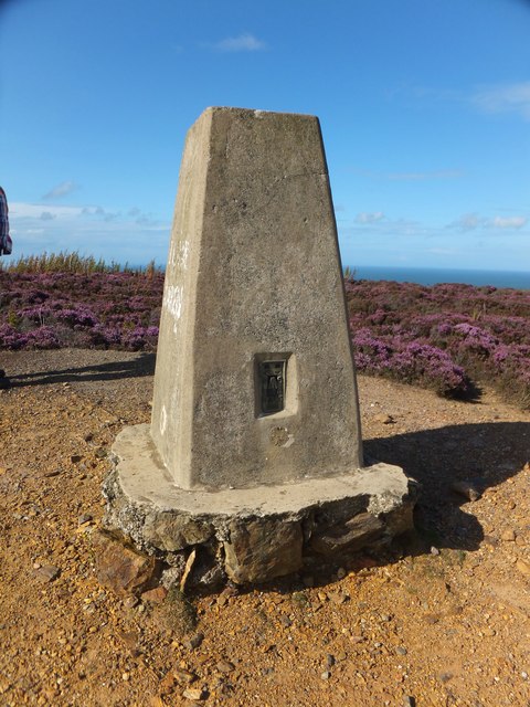
For nature enthusiasts, Pentrefelin offers ample opportunities for outdoor activities. The surrounding countryside provides scenic walking and cycling trails, and the nearby Menai Strait is a popular spot for water sports such as sailing and kayaking.
Overall, Pentrefelin is a tranquil and picturesque village that offers a peaceful lifestyle in a beautiful natural setting.
If you have any feedback on the listing, please let us know in the comments section below.
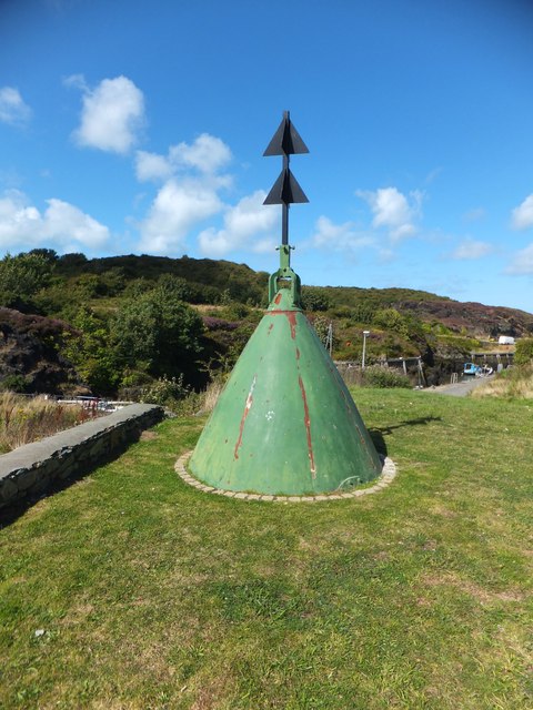
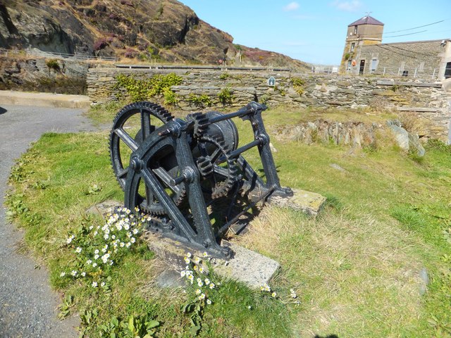
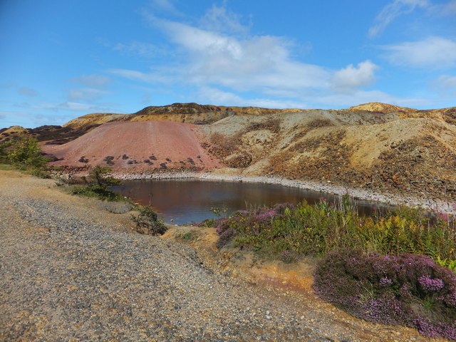
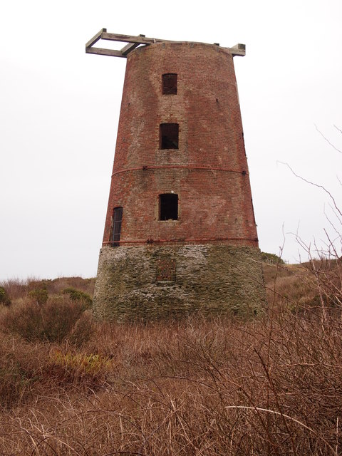
Pentrefelin Images
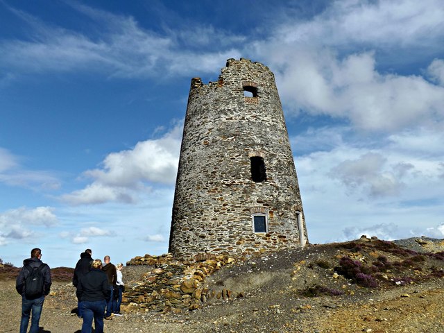
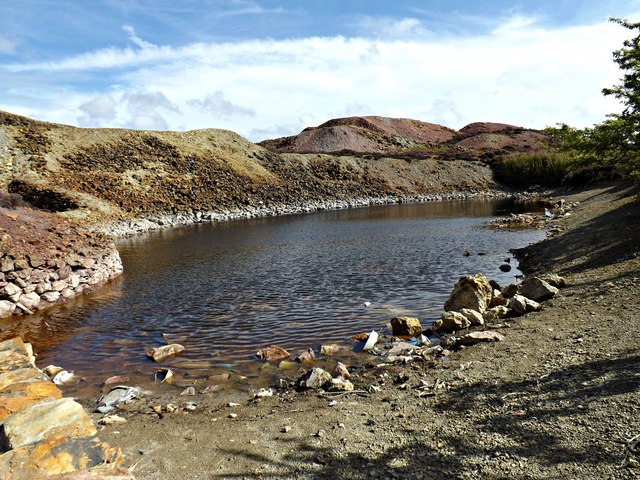
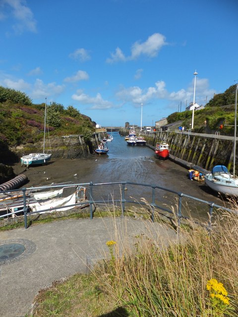
Images are sourced within 2km of 53.398981/-4.3464758 or Grid Reference SH4491. Thanks to Geograph Open Source API. All images are credited.


Pentrefelin is located at Grid Ref: SH4491 (Lat: 53.398981, Lng: -4.3464758)
Unitary Authority: Isle of Anglesey
Police Authority: North Wales
What 3 Words
///title.verb.basis. Near Amlwch, Isle of Anglesey
Nearby Locations
Related Wikis

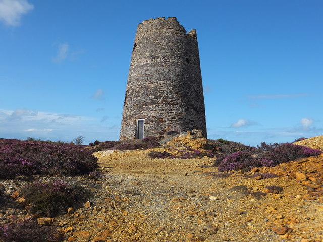
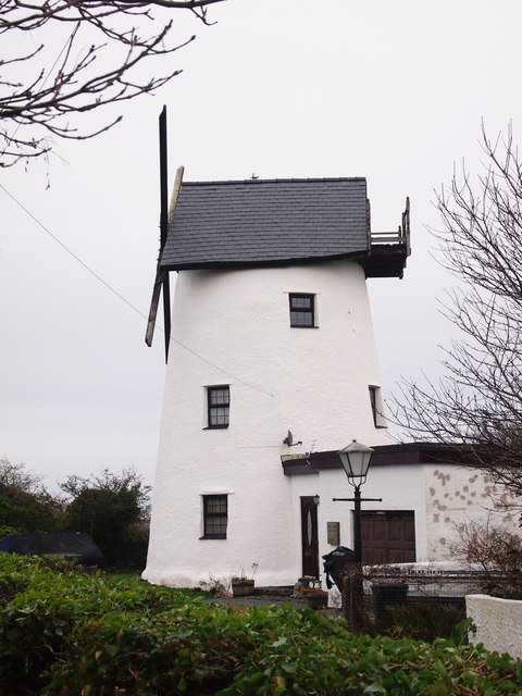
Melin Adda
Melin Adda is a windmill near Amlwch, Anglesey, (OS reference: SH 440921) which was built in the 1790s and closed down in 1912. The mill was turned into...

Ysgol Syr Thomas Jones
Ysgol Syr Thomas Jones is a mixed bilingual community school for pupils between 11 and 18 years of age in the Pentrefelin area of Amlwch, Anglesey. The...

Tyddyn Dai
Tyddyn Dai is a hamlet in the community of Amlwch, Anglesey, Wales, which is 141.4 miles (227.6 km) from Cardiff and 220.7 miles (355.1 km) from London...

Amlwch
Amlwch (Welsh: [ˈamlʊχ]) is a port town and community in Wales. It is situated on the north coast of the Isle of Anglesey, on the A5025 which connects...
Nearby Amenities
Located within 500m of 53.398981,-4.3464758Have you been to Pentrefelin?
Leave your review of Pentrefelin below (or comments, questions and feedback).