Goff's Oak

Settlement in Hertfordshire Broxbourne

England

Goff's Oak

Christmas scene in Cuffley
Christmas scene in Cuffley Credit: David Howard

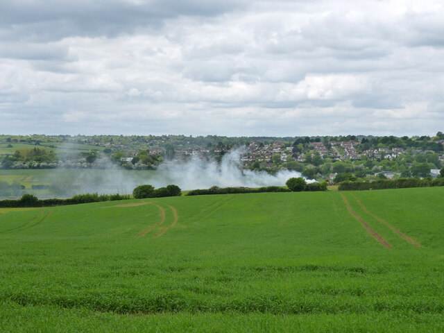
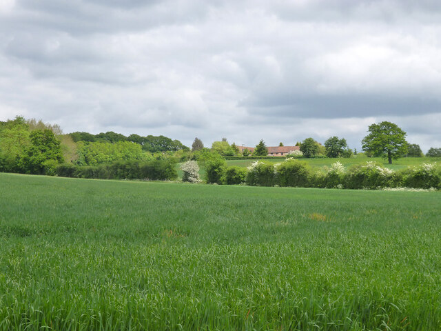
Goff's Oak is a small village located in the county of Hertfordshire, England. Situated approximately 17 miles north of central London, it falls within the borough of Broxbourne. The village is surrounded by picturesque countryside and lies close to the border with the neighboring county of Essex.

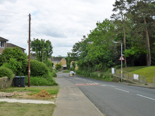
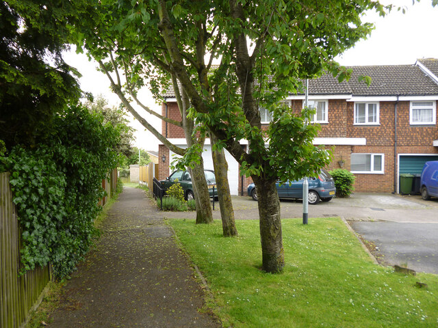
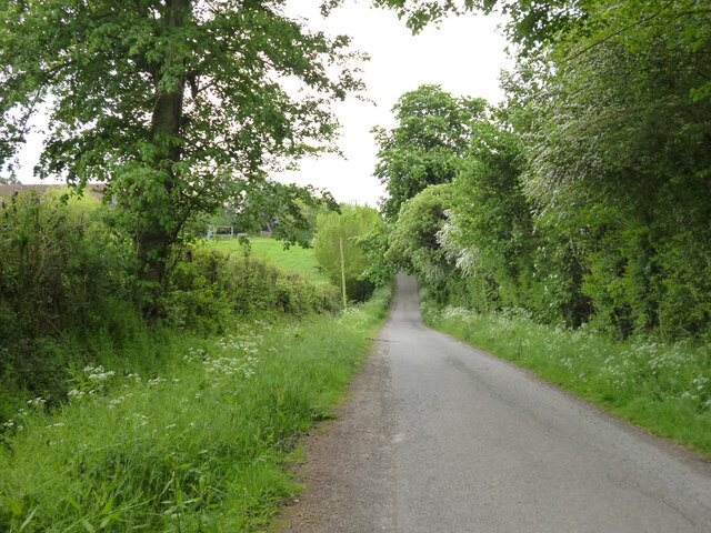
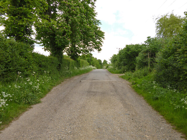
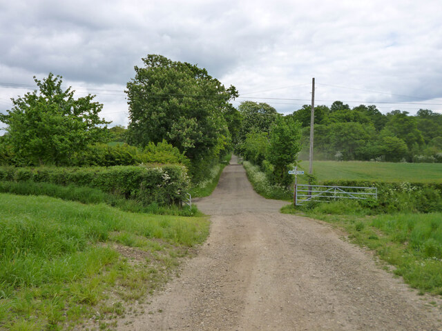
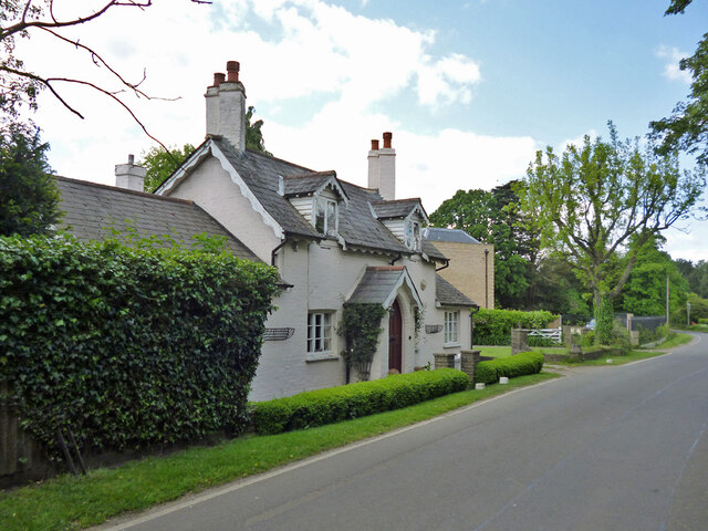
Goff's Oak is known for its rural charm and tranquil atmosphere. The village boasts a range of traditional houses and cottages, some of which date back several centuries. The area is also home to a number of modern residential developments, providing a diverse mix of housing options.

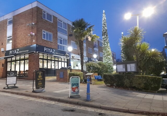
In terms of amenities, Goff's Oak offers a range of local services including a primary school, a village hall, and several shops and pubs. The village is well-connected to the wider region, with good transport links to nearby towns and cities. The A10 road runs close to Goff's Oak, providing easy access to London and Cambridge, while the M25 motorway is also within easy reach.

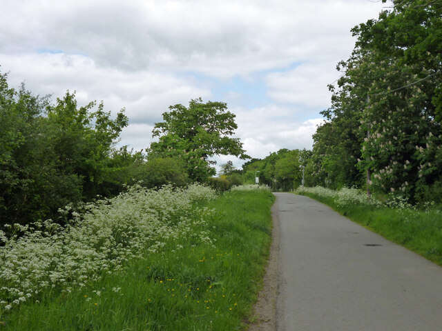
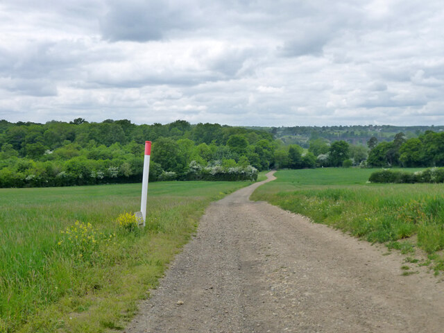
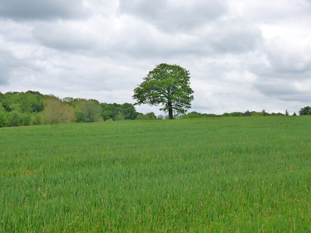
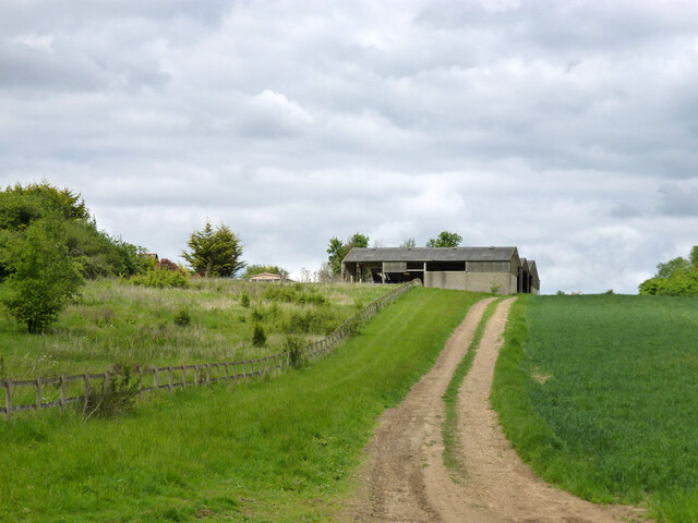
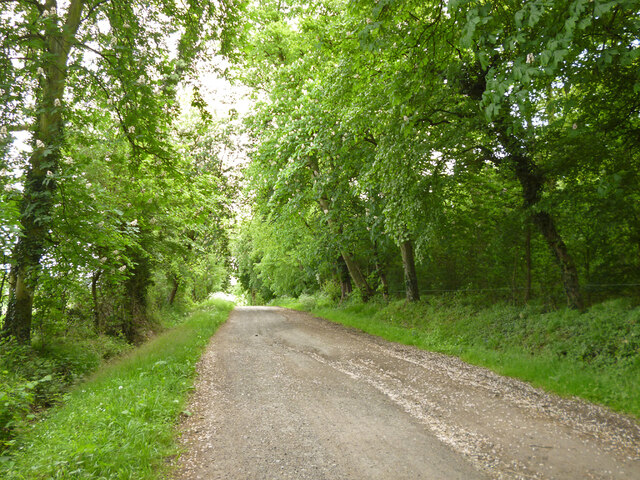
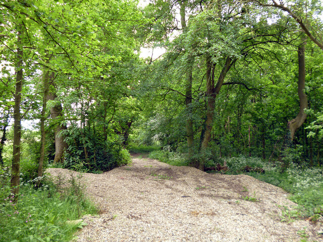
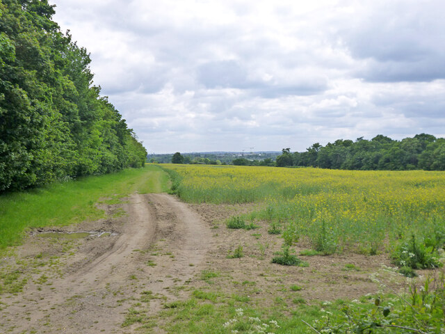
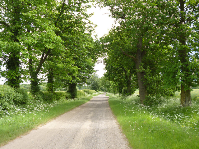
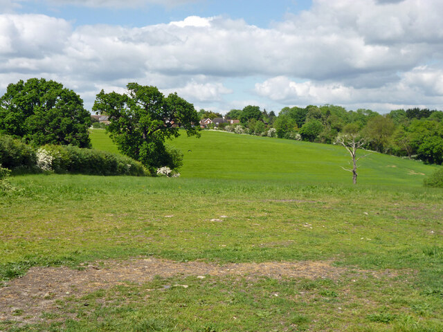
For those seeking outdoor activities, the village is surrounded by beautiful countryside, offering opportunities for walking, cycling, and exploring nature. The nearby Lee Valley Regional Park is a popular destination for outdoor enthusiasts, offering a range of recreational activities such as boating, fishing, and birdwatching.

Overall, Goff's Oak is a charming village with a strong sense of community and a peaceful rural setting, making it an attractive place to live for those seeking a more relaxed pace of life within easy reach of the capital.

If you have any feedback on the listing, please let us know in the comments section below.

Goff's Oak Images

Images are sourced within 2km of 51.711441/-0.086486 or Grid Reference TL3203. Thanks to Geograph Open Source API. All images are credited.

Christmas scene in Cuffley
Dig Dag Hill, Cheshunt
Path from Adamsfield to Longfield Lane, Cheshunt Passing the end of one of the several branches of Smarts Green.
Path from Adamsfield to Longfield Lane, Cheshunt
Passing the end of one of the several branches of Smarts Green.
Jones Road This appears to be mapped as a public road up to a point some way behind the camera, when it becomes a public bridleway and private untarred road. However, it is gated at the end of this straight, the gates being open in this view. It is used as part of the 'Chain Walk' - a long distance walking route.
The road was mapped with the odd name of St. Jones's Road up to the 1930s.
Jones Road
This appears to be mapped as a public road up to a point some way behind the camera, when it becomes a public bridleway and private untarred road. However, it is gated at the end of this straight, the gates being open in this view. It is used as part of the 'Chain Walk' - a long distance walking route. The road was mapped with the odd name of St. Jones's Road up to the 1930s.
Fire down below But it appears to be agricultural and monitored, so everything is all right, isn't it?
Fire down below
But it appears to be agricultural and monitored, so everything is all right, isn't it?
Burnt Farm Ride A private tarmac road as far as Burnt Farm, thereafter a well surfaced track. Public bridleway Cheshunt 17.
Burnt Farm Ride
A private tarmac road as far as Burnt Farm, thereafter a well surfaced track. Public bridleway Cheshunt 17.
Burnt Farm Ride The surface changes here, tarmac northwards, just 'mac' to the south.  Public bridleway Cheshunt 17.
Burnt Farm Ride
The surface changes here, tarmac northwards, just 'mac' to the south. Public bridleway Cheshunt 17.
Crossways south of Burnt Farm Burnt Farm Ride runs left and right, bridleway Cheshunt 17 to the left, bridleway Cheshunt 70 to the right. Straight on beyond the junction is bridleway Cheshunt 73. Viewed from footpath Cheshunt 59.
Crossways south of Burnt Farm
Burnt Farm Ride runs left and right, bridleway Cheshunt 17 to the left, bridleway Cheshunt 70 to the right. Straight on beyond the junction is bridleway Cheshunt 73. Viewed from footpath Cheshunt 59.
Farm track crosses gas pipeline The track is public footpath Cheshunt 59.
Farm track crosses gas pipeline
The track is public footpath Cheshunt 59.
Tree in field west of Burnt Farm
View over fields towards Burnt Farm
Barns at Burnt Farm
Barns at Burnt Farm
Bridleway Cheshunt 73 heads east A wood called Cattlins is on the right.
Bridleway Cheshunt 73 heads east
A wood called Cattlins is on the right.
Track into a wood called Cattlins At the eastern edge of the wood.
Track into a wood called Cattlins
At the eastern edge of the wood.
Field edge track by Dysons Osiers A wood called Cattlins is over to the right.
Field edge track by Dysons Osiers
A wood called Cattlins is over to the right.
Oldpark Ride Bridleway Cheshunt 73 towards Theobalds Manor.
Oldpark Ride
Bridleway Cheshunt 73 towards Theobalds Manor.
Rose Cottage on Halstead Hill Nicely presented down below, but the dormer woodwork, particularly of the window frames, is in a poor state in this 2016 view. An early to mid 19th century grade II listed building.
Rose Cottage on Halstead Hill
Nicely presented down below, but the dormer woodwork, particularly of the window frames, is in a poor state in this 2016 view. An early to mid 19th century grade II listed building.
View over valley of Theobalds Brook Looking from Silver Street towards houses on Goffs Lane.
View over valley of Theobalds Brook
Looking from Silver Street towards houses on Goffs Lane.
Show me another place!

Goff's Oak is located at Grid Ref: TL3203 (Lat: 51.711441, Lng: -0.086486)

Administrative County: Hertfordshire

District: Broxbourne

Police Authority: Hertfordshire

What 3 Words

///blame.suffice.known. Near Cuffley, Hertfordshire

Nearby Locations

Lucas End Goff's Oak

Related Wikis

Goffs Oak

Goffs Oak (Goff's Oak on Ordnance Survey maps) is a large village in the borough of Broxbourne in Hertfordshire in the United Kingdom. It lies between...

Cuffley railway station

Cuffley railway station serves the village of Cuffley in the Welwyn Hatfield district of Hertfordshire. It also serves other nearby settlements, namely...

Cuffley

Cuffley is a village in the civil parish of Northaw and Cuffley, in the Welwyn Hatfield district of south-east Hertfordshire located between Cheshunt and...

F.C. Broxbourne Borough

Football Club Broxbourne Borough was a football club based in Broxbourne, Hertfordshire, England. They played at Goffs Lane in Cheshunt. == History... ==

Goffs Academy

Goffs Academy is a selective secondary school and sixth form with academy status located in Cheshunt, Hertfordshire, England with around 1,300 students...

Broxbourne (UK Parliament constituency)

Broxbourne is a constituency in Hertfordshire represented in the House of Commons of the UK Parliament since 2005 by Charles Walker of the Conservative...
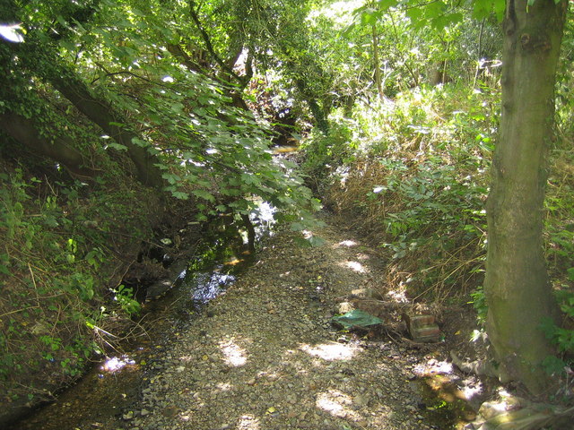
Rags Brook

Rags Brook is a tributary of the Small River Lea, which is a tributary of the River Lea. Rags Brook rises in the hills between Goffs Oak Cuffley in Hertfordshire...

Tolmers Park

Tolmers Park is a manor house in Newgate Street Village near Hatfield in Hertfordshire, England. == Early history == The early history of the manor is...

Nearby Amenities

Located within 500m of 51.711441,-0.086486
Mini Roundabout
Direction: clockwise
Lat/Long: 51.7101498/-0.08712
Goffs Oak
Alt Name: Goff's Oak
Place: village
Wikidata: Q19934
Lat/Long: 51.7102858/-0.0885808
Created By: YahooApplet 1.0
Lat/Long: 51.7102452/-0.0932058
Created By: YahooApplet 1.0
Lat/Long: 51.7112823/-0.0934204
Created By: YahooApplet 1.0
Lat/Long: 51.7120268/-0.0936349
Created By: YahooApplet 1.0
Lat/Long: 51.7131391/-0.0905379
Created By: YahooApplet 1.0
Lat/Long: 51.7145662/-0.0902661
Created By: YahooApplet 1.0
Lat/Long: 51.7130756/-0.0905236
Created By: YahooApplet 1.0
Lat/Long: 51.7114344/-0.0886667
Created By: YahooApplet 1.0
Lat/Long: 51.7114817/-0.0882276
Created By: YahooApplet 1.0
Lat/Long: 51.7114817/-0.0874337
Created By: YahooApplet 1.0
Lat/Long: 51.711269/-0.0870474
Created By: YahooApplet 1.0
Lat/Long: 51.7107903/-0.0868972
Created By: YahooApplet 1.0
Lat/Long: 51.7075992/-0.0895794
Created By: YahooApplet 1.0
Lat/Long: 51.7073732/-0.0888284
Created By: YahooApplet 1.0
Lat/Long: 51.7083045/-0.0867685
Created By: YahooApplet 1.0
Lat/Long: 51.7082115/-0.0861891
Created By: YahooApplet 1.0
Lat/Long: 51.7084109/-0.0859102
Created By: YahooApplet 1.0
Lat/Long: 51.7088098/-0.0853737
Created By: YahooApplet 1.0
Lat/Long: 51.7093151/-0.0849875
Created By: YahooApplet 1.0
Lat/Long: 51.7098602/-0.08473
Created By: YahooApplet 1.0
Lat/Long: 51.7104053/-0.0847729
Created By: YahooApplet 1.0
Lat/Long: 51.7106048/-0.0861033
Created By: YahooApplet 1.0
Lat/Long: 51.7090374/-0.0907596
Turning Circle
Lat/Long: 51.7108116/-0.0904398
Turning Circle
Turning Circle: octagon
Lat/Long: 51.71219/-0.091183
Turning Circle
Turning Circle: octagon
Lat/Long: 51.7117712/-0.090706
Created By: YahooApplet 1.0
Lat/Long: 51.7122284/-0.0904163
Created By: YahooApplet 1.0
Lat/Long: 51.7124943/-0.0932702
Created By: YahooApplet 1.0
Lat/Long: 51.7129198/-0.0922187
Created By: YahooApplet 1.0
Lat/Long: 51.7131458/-0.0911459
Pub
Goff's Oak
Toilets: yes
Toilets Access: customers
Lat/Long: 51.7111049/-0.0873963
Bus Stop
War Memorial
Naptan AtcoCode: 210021700480
Naptan Bearing: W
Naptan CommonName: War Memorial
Naptan Indicator: opp
Naptan Landmark: Unknown
Naptan NaptanCode: hrtamgpj
Naptan ShortCommonName: NA
Naptan Street: Cuffley Hill
Naptan Verified: no
Public Transport: platform
Source: naptan_import
Lat/Long: 51.7100084/-0.0880839
Bus Stop
Goffs Oak PH
Local Ref: NR
Naptan AtcoCode: 210021702990
Naptan Bearing: SE
Naptan CommonName: Goffs Oak PH
Naptan Crossing: opp Methodist Church
Naptan Indicator: nr
Naptan Landmark: opp Methodist Church
Naptan NaptanCode: hrtajwpa
Naptan PlusbusZoneRef: CHESHNT
Naptan ShortCommonName: NA
Naptan Street: Newgate Street Road
Naptan Verified: no
Public Transport: platform
Source: naptan_import
Lat/Long: 51.7116911/-0.0887078
Millcrest Road
Naptan AtcoCode: 210021702995
Naptan Bearing: SE
Naptan BusStopType: CUS
Naptan CommonName: Millcrest Road
Naptan Crossing: Melvyn Close
Naptan Indicator: opp
Naptan Landmark: Melvyn Close
Naptan NaptanCode: hrtajwpg
Naptan PlusbusZoneRef: CHESHNT
Naptan ShortCommonName: NA
Naptan Street: Newgate Street Road
Naptan Verified: no
Source: naptan_import
Lat/Long: 51.7143924/-0.0916918
Goffs Oak PH
Naptan AtcoCode: 210021703085
Naptan Bearing: NW
Naptan BusStopType: CUS
Naptan CommonName: Goffs Oak PH
Naptan Crossing: Methodist Church
Naptan Indicator: opp
Naptan Landmark: Methodist Church
Naptan NaptanCode: hrtajwjw
Naptan PlusbusZoneRef: CHESHNT
Naptan ShortCommonName: NA
Naptan Street: Newgate Street Road
Naptan Verified: no
Source: naptan_import
Lat/Long: 51.7115197/-0.0886716
Bus Stop
War Memorial
Local Ref: NR
Naptan AtcoCode: 210021703100
Naptan Bearing: W
Naptan CommonName: War Memorial
Naptan Indicator: nr
Naptan Landmark: Unknown
Naptan NaptanCode: hrtajwmd
Naptan PlusbusZoneRef: CHESHNT
Naptan ShortCommonName: NA
Naptan Street: Cuffley Hill
Naptan Verified: no
Public Transport: platform
Source: naptan_import
Lat/Long: 51.7100104/-0.0854494
The Washing Well
Shop: laundry
Lat/Long: 51.710476/-0.087654
Gentry Hair Salon
Shop: hairdresser
Lat/Long: 51.710615/-0.087889
Fuel
Elliott Motor Company
Lat/Long: 51.7103027/-0.0874651
Place Of Worship
Goffs Oak Methodist Church
Denomination: methodist
Religion: christian
Lat/Long: 51.7109821/-0.088317
Cheers
Shop: alcohol
Lat/Long: 51.711233/-0.088671
Fast Food
Popeyes
Cuisine: fish_and_chips
Not Brand Wikidata: Q1330910
Lat/Long: 51.7114802/-0.0889012
Pharmacy
Boots
Brand: Boots
Brand Wikidata: Q6123139
Healthcare: pharmacy
Website: https://www.boots.com/stores/1283-waltham-cross-gofsoak-en7-5et
Lat/Long: 51.7102243/-0.0864745
Post Office
Goff's Oak Post Office
Addr Country: GB
Addr Postcode: EN7 5ET
Brand: Post Office
Brand Wikidata: Q1783168
Contact Website: https://www.postoffice.co.uk/branch-finder/1600052/goff's-oak
Ref Pol Id: 19242
Lat/Long: 51.7101206/-0.0862113
Atm
Operator: Co-operative
Lat/Long: 51.7102683/-0.0866423
Pub
The Wheelrights
Lat/Long: 51.7093346/-0.0809611
Boots
Brand: Boots
Brand Wikidata: Q6123139
Shop: chemist
Website: https://www.boots.com/stores/1283-waltham-cross-gofsoak-en7-5et
Lat/Long: 51.7102116/-0.0864237
HiQ Tyres & Autocare Goffs Oak
Brand: HiQ Tyres & Autocare
Brand Wikidata: Q55613688
Email: goffsoak@hiqteam.co.uk
Phone: +44 1707 870007
Shop: car_repair
Website: https://www.hiqonline.co.uk/hiq-centres/goffsoak
Lat/Long: 51.7103359/-0.0875266
Addr City: Goffs Oak
Addr Country: GB
Addr Housenumber: 47
Addr Postcode: EN7 5PN
Addr Street: St Johns Road
Lat/Long: 51.7089046/-0.0824377
Addr City: Goffs Oak
Addr Country: GB
Addr Housenumber: 46
Addr Postcode: EN7 5PN
Addr Street: St Johns Road
Lat/Long: 51.7088523/-0.0824524
Addr City: Goffs Oak
Addr Country: GB
Addr Housenumber: 32
Addr Postcode: EN7 5PN
Addr Street: St Johns Road
Lat/Long: 51.7082822/-0.0831619
Addr City: Goffs Oak
Addr Country: GB
Addr Housenumber: 41
Addr Postcode: EN7 5PN
Addr Street: St Johns Road
Lat/Long: 51.7083823/-0.0826067
Addr City: Goffs Oak
Addr Country: GB
Addr Housenumber: 42
Addr Postcode: EN7 5PN
Addr Street: St Johns Road
Lat/Long: 51.7085506/-0.0825088
Addr City: Goffs Oak
Addr Country: GB
Addr Housenumber: 43
Addr Postcode: EN7 5PN
Addr Street: St Johns Road
Lat/Long: 51.7085947/-0.0824934
Addr City: Goffs Oak
Addr Country: GB
Addr Housenumber: 44
Addr Postcode: EN7 5PN
Addr Street: St Johns Road
Lat/Long: 51.70864/-0.0824759
Addr City: Goffs Oak
Addr Country: GB
Addr Housenumber: 45
Addr Postcode: EN7 5PN
Addr Street: St Johns Road
Lat/Long: 51.7087492/-0.0824377
Addr City: Goffs Oak
Addr Country: GB
Addr Housenumber: 48
Addr Postcode: EN7 5PN
Addr Street: St Johns Road
Lat/Long: 51.7090069/-0.0823841
Addr City: Goffs Oak
Addr Country: GB
Addr Housenumber: 4
Addr Postcode: EN7 5PN
Addr Street: St Johns Road
Lat/Long: 51.7087742/-0.0822017
Addr City: Goffs Oak
Addr Country: GB
Addr Housenumber: 3
Addr Postcode: EN7 5PN
Addr Street: St Johns Road
Lat/Long: 51.7088307/-0.082199
Addr City: Goffs Oak
Addr Country: GB
Addr Housenumber: 2
Addr Postcode: EN7 5PN
Addr Street: St Johns Road
Lat/Long: 51.7089287/-0.0822526
Addr City: Goffs Oak
Addr Country: GB
Addr Housenumber: 1
Addr Postcode: EN7 5PN
Addr Street: St Johns Road
Lat/Long: 51.7091481/-0.0820702
Addr City: Goffs Oak
Addr Country: GB
Addr Housenumber: 51
Addr Postcode: EN7 5PN
Addr Street: St Johns Road
Lat/Long: 51.7092645/-0.0822929
Addr City: Goffs Oak
Addr Country: GB
Addr Housenumber: 49
Addr Postcode: EN7 5PN
Addr Street: St Johns Road
Lat/Long: 51.709316/-0.082553
Addr City: Goffs Oak
Addr Country: GB
Addr Housenumber: 50
Addr Postcode: EN7 5PN
Addr Street: St Johns Road
Lat/Long: 51.7092965/-0.0824669
Addr City: Goffs Oak
Addr Country: GB
Addr Housenumber: 40
Addr Postcode: EN7 5PN
Addr Street: St Johns Road
Lat/Long: 51.7082756/-0.0827864
Addr City: Goffs Oak
Addr Country: GB
Addr Housenumber: 39
Addr Postcode: EN7 5PN
Addr Street: St Johns Road
Lat/Long: 51.7082905/-0.0829259
Addr City: Goffs Oak
Addr Country: GB
Addr Housenumber: 38
Addr Postcode: EN7 5PN
Addr Street: St Johns Road
Lat/Long: 51.7084318/-0.0831887
Addr City: Goffs Oak
Addr Country: GB
Addr Housenumber: 37
Addr Postcode: EN7 5PN
Addr Street: St Johns Road
Lat/Long: 51.7084617/-0.0832585
Addr City: Goffs Oak
Addr Country: GB
Addr Housenumber: 5
Addr Postcode: EN7 5PN
Addr Street: St Johns Road
Lat/Long: 51.7086636/-0.0821909
Addr City: Goffs Oak
Addr Country: GB
Addr Housenumber: 6
Addr Postcode: EN7 5PN
Addr Street: St Johns Road
Lat/Long: 51.7085955/-0.0822178
Addr City: Goffs Oak
Addr Country: GB
Addr Housenumber: 7
Addr Postcode: EN7 5PN
Addr Street: St Johns Road
Lat/Long: 51.7085448/-0.0822178
Addr City: Goffs Oak
Addr Country: GB
Addr Housenumber: 8
Addr Postcode: EN7 5PN
Addr Street: St Johns Road
Lat/Long: 51.7084916/-0.0822178
Addr City: Goffs Oak
Addr Country: GB
Addr Housenumber: 9
Addr Postcode: EN7 5PN
Addr Street: St Johns Road
Lat/Long: 51.7084052/-0.082325
Addr City: Goffs Oak
Addr Country: GB
Addr Housenumber: 10
Addr Postcode: EN7 5PN
Addr Street: St Johns Road
Lat/Long: 51.7083653/-0.0823304
Addr City: Goffs Oak
Addr Country: GB
Addr Housenumber: 11
Addr Postcode: EN7 5PN
Addr Street: St Johns Road
Lat/Long: 51.7083188/-0.0823465
Addr City: Goffs Oak
Addr Country: GB
Addr Housenumber: 12
Addr Postcode: EN7 5PN
Addr Street: St Johns Road
Lat/Long: 51.7082739/-0.0823519
Addr City: Goffs Oak
Addr Country: GB
Addr Housenumber: 13
Addr Postcode: EN7 5PN
Addr Street: St Johns Road
Lat/Long: 51.7082207/-0.0823626
Addr City: Goffs Oak
Addr Country: GB
Addr Housenumber: 19
Addr Postcode: EN7 5PN
Addr Street: St Johns Road
Lat/Long: 51.7078999/-0.08203
The data included in this document is from www.openstreetmap.org. The data is made available under ODbL.

Have you been to Goff's Oak?

Leave your review of Goff's Oak below (or comments, questions and feedback).