Lucas End

Settlement in Hertfordshire Broxbourne

England

Lucas End

Westfield Grove, Broxbourne Woods National Nature Reserve Managed by the Woodland Trust, as part of Wormley Wood.

See Woodland Trust website: <span class="nowrap"><a title="https://www.woodlandtrust.org.uk/visiting-woods/woods/wormley-wood-nut-wood/" rel="nofollow ugc noopener" href="https://www.woodlandtrust.org.uk/visiting-woods/woods/wormley-wood-nut-wood/">Link</a><img style="margin-left:2px;" alt="External link" title="External link - shift click to open in new window" src="https://s1.geograph.org.uk/img/external.png" width="10" height="10"/></span> -

"One of only two areas of oak-hornbeam forest in the UK, Wormley Wood & Nut Wood are of European importance and are both listed as a Special Area of Conservation (SAC).

Wormley Wood is largely ancient woodland which has been coppiced from the medieval period."
Westfield Grove, Broxbourne Woods National Nature Reserve Credit: Roger Jones

Lucas End is a small village located in the county of Hertfordshire, England. Situated approximately 30 miles north of London, it falls within the district of East Hertfordshire. The village is nestled amidst picturesque countryside, offering residents and visitors a tranquil and idyllic setting.

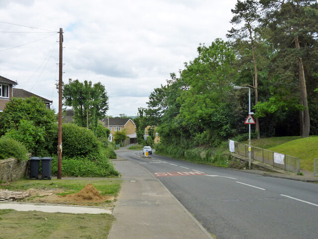
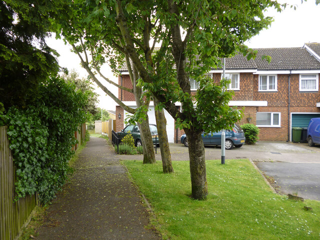
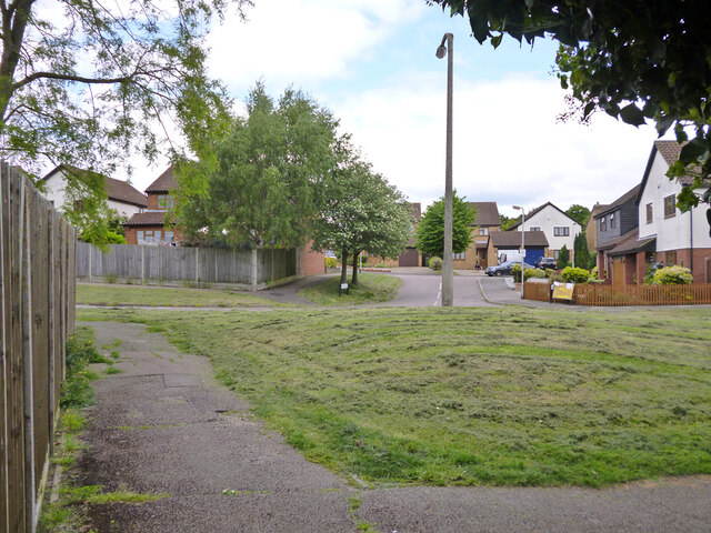
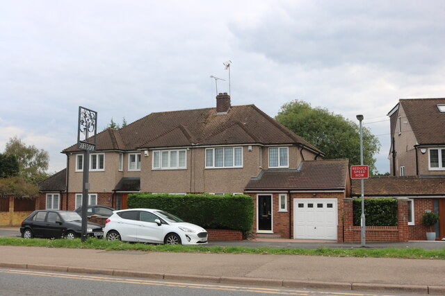
With a population of around 300 people, Lucas End maintains a close-knit community feel. The village is primarily residential, with a mix of traditional cottages and more modern houses. The architecture reflects the area's rich history, with some buildings dating back several centuries.

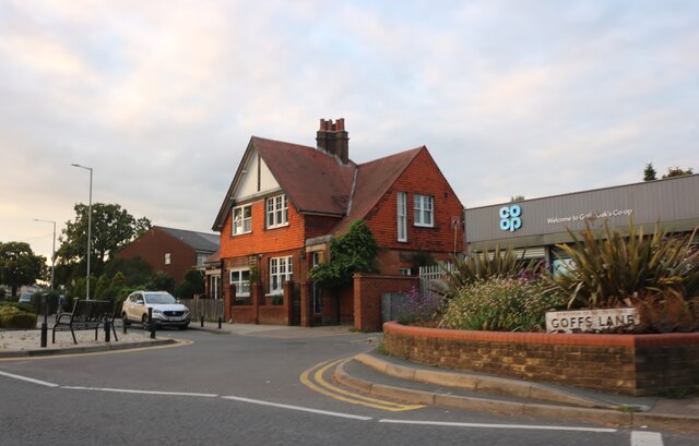
Despite its small size, Lucas End boasts a number of amenities to cater to the needs of its residents. The village has a local pub, providing a social hub for the community. Additionally, there is a village hall that hosts various events and gatherings throughout the year. The nearby town of Hertford offers a wider range of amenities, including shops, supermarkets, and schools.

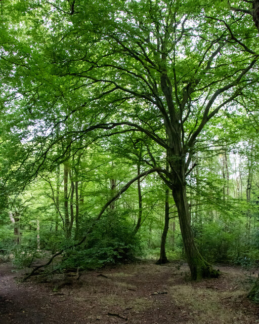
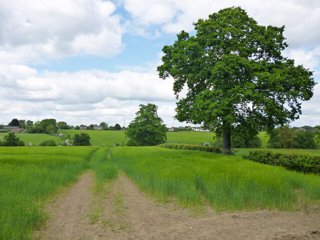
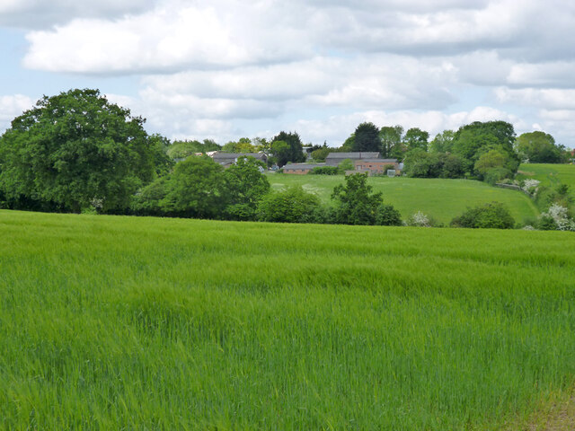
Nature lovers will appreciate the surrounding countryside, which offers ample opportunities for walking, cycling, and exploring the great outdoors. Lucas End is also within close proximity to several nature reserves and parks, ideal for those seeking a peaceful retreat or interested in wildlife observation.

Transport links are convenient, with easy access to major roads, including the A10 and A414. The nearest train station is Hertford North, providing regular services to London and other nearby towns.

Overall, Lucas End is a charming village that combines rural tranquility with convenient access to nearby towns and cities, making it an attractive place to reside or visit.

If you have any feedback on the listing, please let us know in the comments section below.
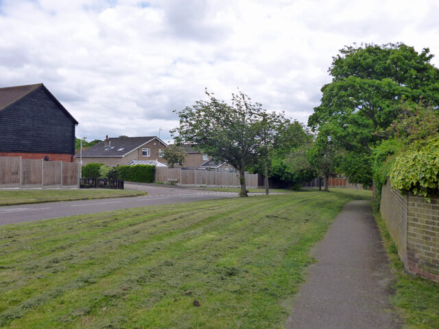
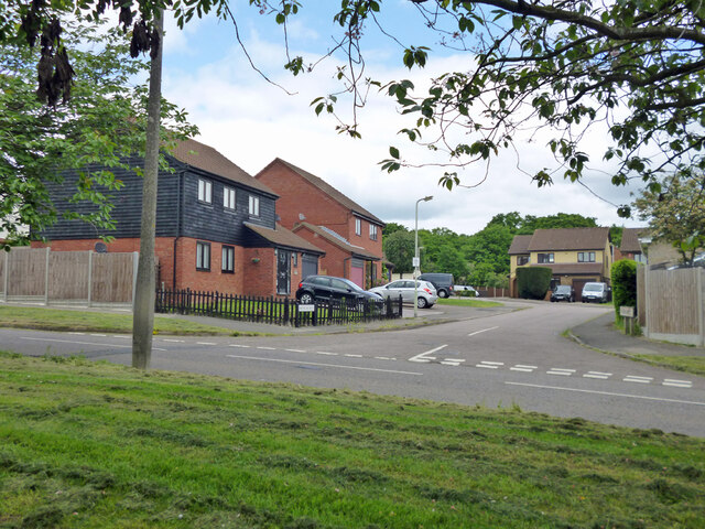
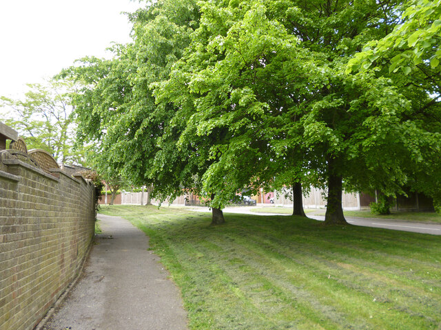
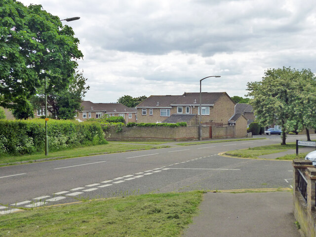
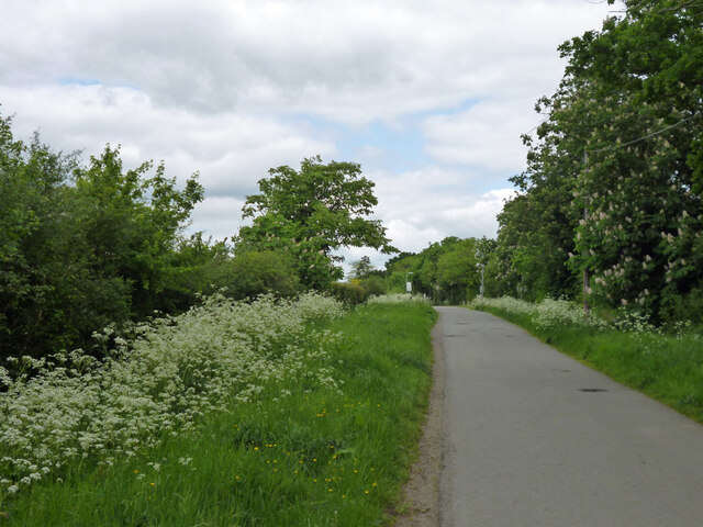
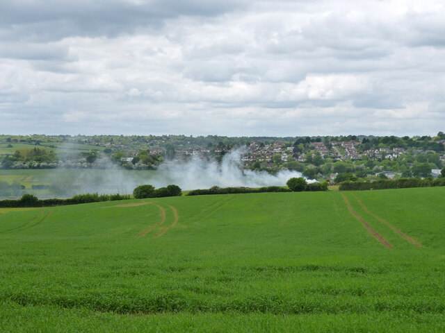
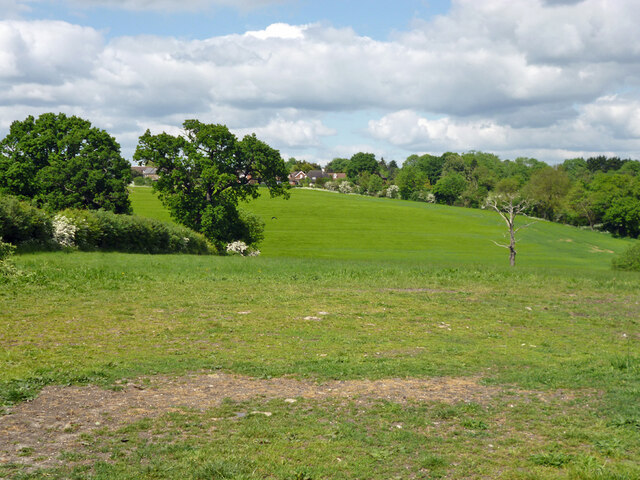
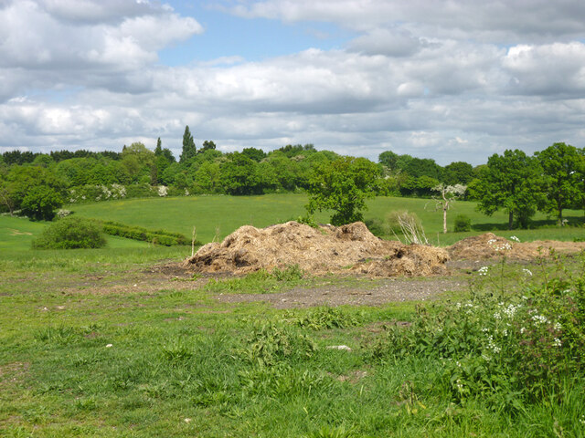
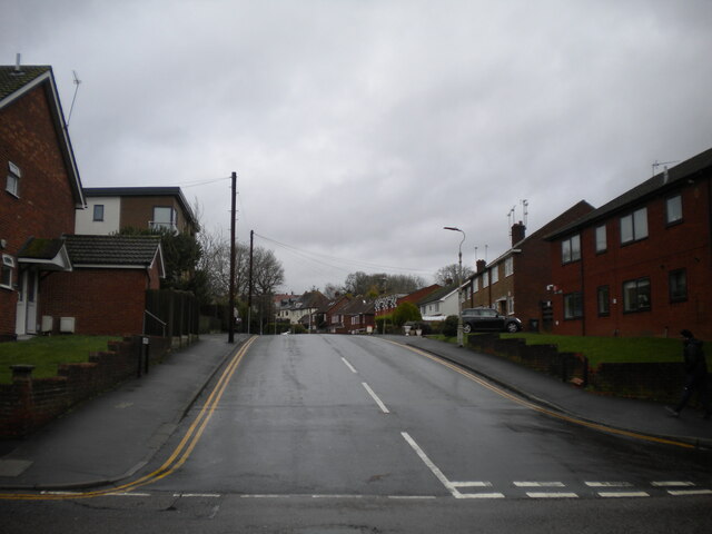
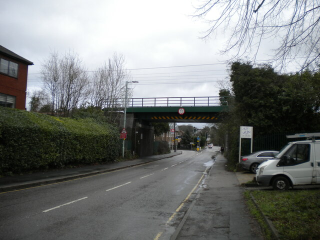
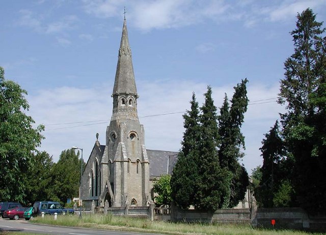
Lucas End Images

Images are sourced within 2km of 51.717755/-0.087667 or Grid Reference TL3203. Thanks to Geograph Open Source API. All images are credited.

Westfield Grove, Broxbourne Woods National Nature Reserve Managed by the Woodland Trust, as part of Wormley Wood.

See Woodland Trust website: <span class="nowrap"><a title="https://www.woodlandtrust.org.uk/visiting-woods/woods/wormley-wood-nut-wood/" rel="nofollow ugc noopener" href="https://www.woodlandtrust.org.uk/visiting-woods/woods/wormley-wood-nut-wood/">Link</a><img style="margin-left:2px;" alt="External link" title="External link - shift click to open in new window" src="https://s1.geograph.org.uk/img/external.png" width="10" height="10"/></span> -

"One of only two areas of oak-hornbeam forest in the UK, Wormley Wood & Nut Wood are of European importance and are both listed as a Special Area of Conservation (SAC).

Wormley Wood is largely ancient woodland which has been coppiced from the medieval period."
Westfield Grove, Broxbourne Woods National Nature Reserve
Managed by the Woodland Trust, as part of Wormley Wood. See Woodland Trust website: LinkExternal link - "One of only two areas of oak-hornbeam forest in the UK, Wormley Wood & Nut Wood are of European importance and are both listed as a Special Area of Conservation (SAC). Wormley Wood is largely ancient woodland which has been coppiced from the medieval period."
Dig Dag Hill, Cheshunt
Path from Adamsfield to Longfield Lane, Cheshunt Passing the end of one of the several branches of Smarts Green.
Path from Adamsfield to Longfield Lane, Cheshunt
Passing the end of one of the several branches of Smarts Green.
Looking across Adamsfield to Springwood, Cheshunt
Adamsfield, Cheshunt A distributor road in this housing development, with all houses on side roads.
Adamsfield, Cheshunt
A distributor road in this housing development, with all houses on side roads.
Bencroft, Cheshunt A turning off Adamsfield.
Bencroft, Cheshunt
A turning off Adamsfield.
Path along Adamsfield, Cheshunt Adamsfield is a distributor road in this housing development, with all houses on side roads.
Path along Adamsfield, Cheshunt
Adamsfield is a distributor road in this housing development, with all houses on side roads.
Adamsfield, Cheshunt A distributor road in this housing development, with all houses on side roads.
Adamsfield, Cheshunt
A distributor road in this housing development, with all houses on side roads.
Jones Road This appears to be mapped as a public road up to a point some way behind the camera, when it becomes a public bridleway and private untarred road. However, it is gated at the end of this straight, the gates being open in this view. It is used as part of the 'Chain Walk' - a long distance walking route.
The road was mapped with the odd name of St. Jones's Road up to the 1930s.
Jones Road
This appears to be mapped as a public road up to a point some way behind the camera, when it becomes a public bridleway and private untarred road. However, it is gated at the end of this straight, the gates being open in this view. It is used as part of the 'Chain Walk' - a long distance walking route. The road was mapped with the odd name of St. Jones's Road up to the 1930s.
Fire down below But it appears to be agricultural and monitored, so everything is all right, isn't it?
Fire down below
But it appears to be agricultural and monitored, so everything is all right, isn't it?
View over valley of Theobalds Brook Looking from Silver Street towards houses on Goffs Lane.
View over valley of Theobalds Brook
Looking from Silver Street towards houses on Goffs Lane.
Manure heap behind Silver Street hedge Every silver lining has a cloud.
Manure heap behind Silver Street hedge
Every silver lining has a cloud.
View north from Silver Street
View from Silver Street towards premises off Goffs Lane, 2016 Not a farm, some sort of commercial estate. The area, more or less, is now subject to residential redevelopment plans.
View from Silver Street towards premises off Goffs Lane, 2016
Not a farm, some sort of commercial estate. The area, more or less, is now subject to residential redevelopment plans.
Goff's Lane, Goff's Oak
Goffs Oak Co-op
Goffs Oak Co-op
South end of Tolmers Road, Cuffley Off Station Road.
South end of Tolmers Road, Cuffley
Off Station Road.
Station Road, Cuffley Approaching the bridge carrying the Hertford Loop railway line across it.
Station Road, Cuffley
Approaching the bridge carrying the Hertford Loop railway line across it.
Show me another place!

Lucas End is located at Grid Ref: TL3203 (Lat: 51.717755, Lng: -0.087667)

Administrative County: Hertfordshire

District: Broxbourne

Police Authority: Hertfordshire

What 3 Words

///funds.newly.refers. Near Cuffley, Hertfordshire

Nearby Locations

Lucas End Goff's Oak

Related Wikis

Goffs Oak

Goffs Oak (Goff's Oak on Ordnance Survey maps) is a large village in the borough of Broxbourne in Hertfordshire in the United Kingdom. It lies between...

Cuffley railway station

Cuffley railway station serves the village of Cuffley in the Welwyn Hatfield district of Hertfordshire. It also serves other nearby settlements, namely...

Broxbourne (UK Parliament constituency)

Broxbourne is a constituency in Hertfordshire represented in the House of Commons of the UK Parliament since 2005 by Charles Walker of the Conservative...

Cuffley

Cuffley is a village in the civil parish of Northaw and Cuffley, in the Welwyn Hatfield district of south-east Hertfordshire located between Cheshunt and...

Tolmers Park

Tolmers Park is a manor house in Newgate Street Village near Hatfield in Hertfordshire, England. == Early history == The early history of the manor is...

Newgate Street, Hertfordshire

Newgate Street is a village near Cuffley, in Hatfield civil parish, in the Welwyn Hatfield district of Hertfordshire, England. It is approximately six...

F.C. Broxbourne Borough

Football Club Broxbourne Borough was a football club based in Broxbourne, Hertfordshire, England. They played at Goffs Lane in Cheshunt. == History... ==

Goffs Academy

Goffs Academy is a selective secondary school and sixth form with academy status located in Cheshunt, Hertfordshire, England with around 1,300 students...

Nearby Amenities

Located within 500m of 51.717755,-0.087667
Created By: YahooApplet 1.0
Lat/Long: 51.7145662/-0.0902661
Created By: YahooApplet 1.0
Lat/Long: 51.7152043/-0.090588
Created By: YahooApplet 1.0
Lat/Long: 51.7168811/-0.0946031
Created By: YahooApplet 1.0
Lat/Long: 51.716469/-0.094182
Created By: YahooApplet 1.0
Lat/Long: 51.7169725/-0.0929912
Created By: YahooApplet 1.0
Lat/Long: 51.7166268/-0.0925621
Created By: YahooApplet 1.0
Lat/Long: 51.7162812/-0.0910171
Turning Circle
Turning Circle: square
Lat/Long: 51.7150424/-0.0910001
Turning Circle
Lat/Long: 51.7163565/-0.0917598
Power: tower
Lat/Long: 51.7195694/-0.0898232
Power: tower
Lat/Long: 51.721659/-0.084639
Chiltern Close
Naptan AtcoCode: 210021702993
Naptan Bearing: SE
Naptan BusStopType: CUS
Naptan CommonName: Chiltern Close
Naptan Indicator: opp
Naptan Landmark: Unknown
Naptan NaptanCode: hrtajwpd
Naptan PlusbusZoneRef: CHESHNT
Naptan ShortCommonName: NA
Naptan Street: Newgate Street Road
Naptan Verified: no
Source: naptan_import
Lat/Long: 51.7164456/-0.0940809
Millcrest Road
Naptan AtcoCode: 210021702995
Naptan Bearing: SE
Naptan BusStopType: CUS
Naptan CommonName: Millcrest Road
Naptan Crossing: Melvyn Close
Naptan Indicator: opp
Naptan Landmark: Melvyn Close
Naptan NaptanCode: hrtajwpg
Naptan PlusbusZoneRef: CHESHNT
Naptan ShortCommonName: NA
Naptan Street: Newgate Street Road
Naptan Verified: no
Source: naptan_import
Lat/Long: 51.7143924/-0.0916918
Chiltern Close
Local Ref: NR
Naptan AtcoCode: 210021702997
Naptan Bearing: NW
Naptan BusStopType: CUS
Naptan CommonName: Chiltern Close
Naptan Indicator: nr
Naptan Landmark: Unknown
Naptan NaptanCode: hrtajwpj
Naptan ShortCommonName: NA
Naptan Street: Newgate Street Road
Naptan Verified: no
Source: naptan_import
Lat/Long: 51.7167229/-0.094547
Millcrest Road
Local Ref: NR
Naptan AtcoCode: 210021703090
Naptan Bearing: NW
Naptan BusStopType: CUS
Naptan CommonName: Millcrest Road
Naptan Crossing: Beehive Road
Naptan Indicator: nr
Naptan Landmark: Beehive Road
Naptan NaptanCode: hrtajwma
Naptan PlusbusZoneRef: CHESHNT
Naptan ShortCommonName: NA
Naptan Street: Newgate Street Road
Naptan Verified: no
Source: naptan_import
Lat/Long: 51.7146516/-0.0921441
Power: tower
Lat/Long: 51.7180453/-0.0936673
Turning Circle
Lat/Long: 51.7163181/-0.092363
Give Way
Direction: backward
Lat/Long: 51.7149516/-0.0924904
Give Way
Direction: forward
Lat/Long: 51.7148457/-0.092526
Give Way
Direction: forward
Lat/Long: 51.7148093/-0.0923288
Barrier: kissing_gate
Lat/Long: 51.7188566/-0.0920591
Barrier: kissing_gate
Lat/Long: 51.7181207/-0.0918367
The data included in this document is from www.openstreetmap.org. The data is made available under ODbL.

Have you been to Lucas End?

Leave your review of Lucas End below (or comments, questions and feedback).