Fank Waterfall
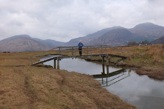
Lake, Pool, Pond, Freshwater Marsh in Inverness-shire
Scotland
Fank Waterfall
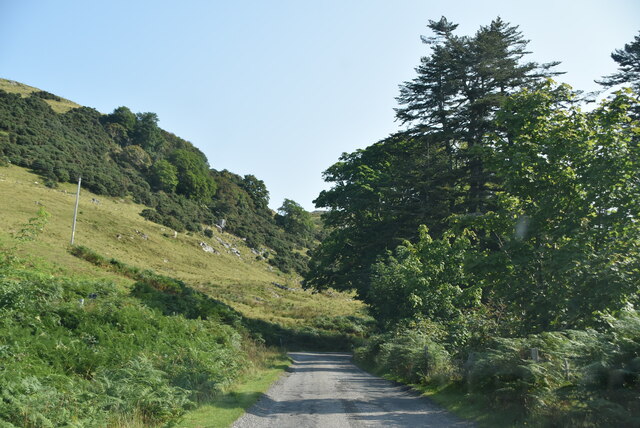
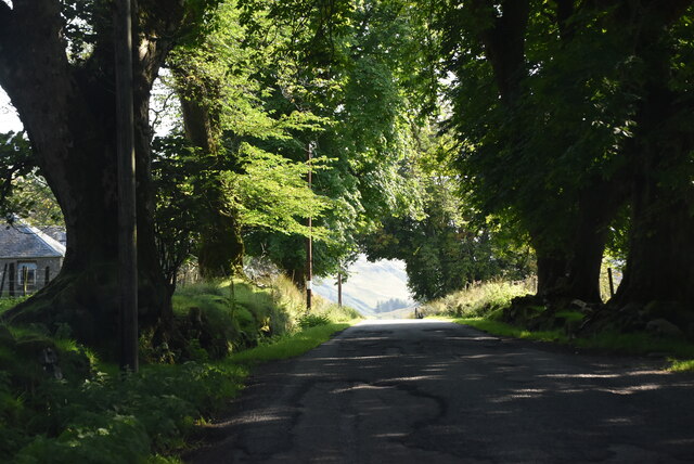
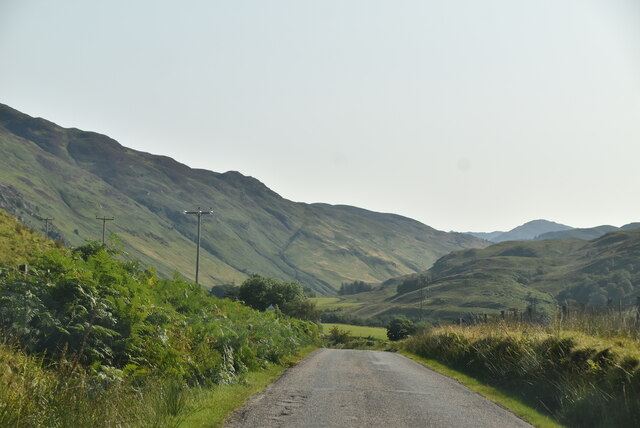
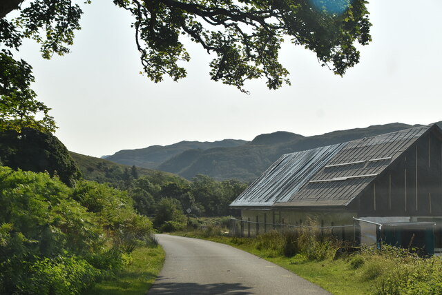
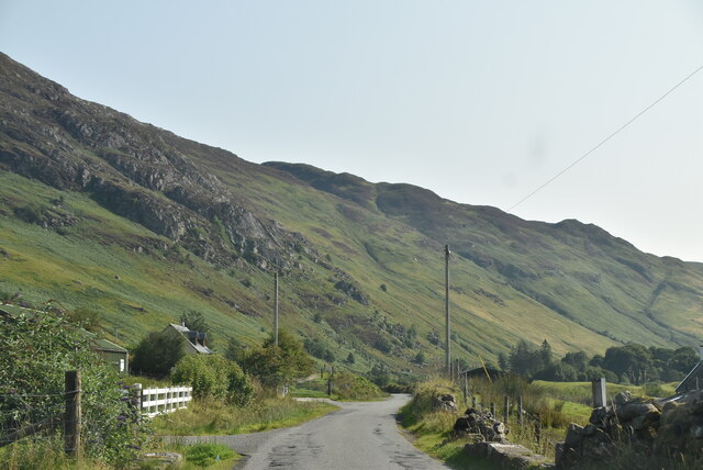
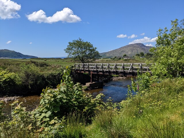
Fank Waterfall is a stunning natural feature located in Inverness-shire, Scotland. The waterfall is situated within a beautiful and tranquil forested area, surrounded by lush greenery and towering trees. The cascading waters of Fank Waterfall create a mesmerizing sight and soothing sound as they flow over the rocks and into the pool below.
The pool at the base of the waterfall is crystal clear and inviting, perfect for a refreshing swim on a hot day. The water is cool and refreshing, making it a popular spot for locals and tourists alike to cool off and relax in the midst of nature.
Surrounding the pool are rocky outcrops and moss-covered boulders, adding to the picturesque and serene atmosphere of Fank Waterfall. The area is also home to a variety of wildlife, including birds, fish, and insects, making it a popular spot for nature enthusiasts and photographers.
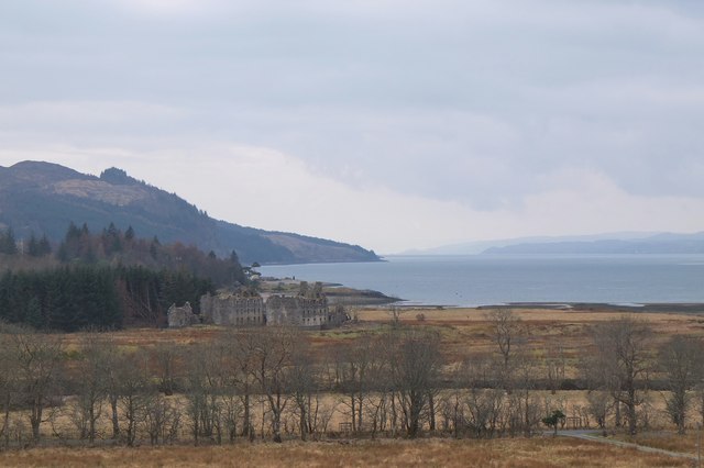
Overall, Fank Waterfall is a hidden gem in Inverness-shire, offering a peaceful retreat from the hustle and bustle of everyday life. Whether you're looking to swim, hike, or simply enjoy the beauty of nature, Fank Waterfall is a must-visit destination in the Scottish Highlands.
If you have any feedback on the listing, please let us know in the comments section below.
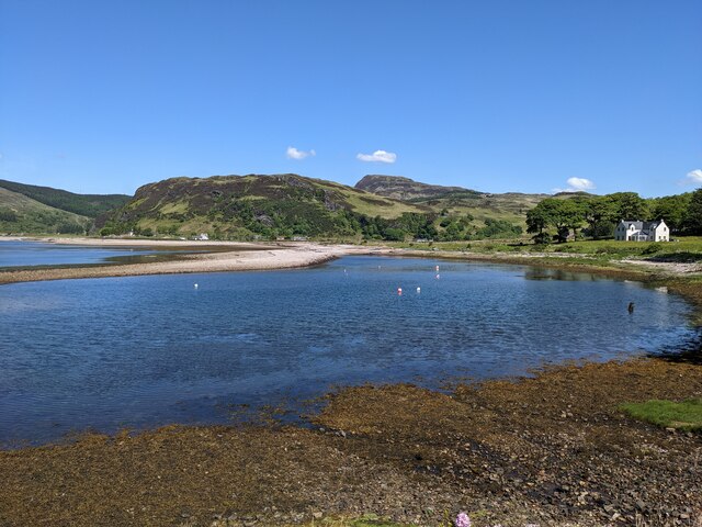
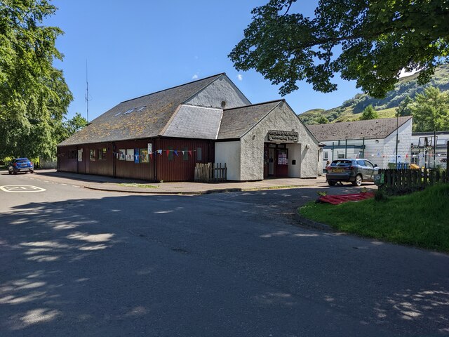
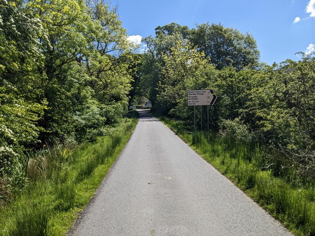
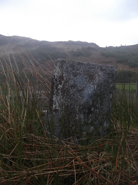
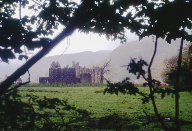
Fank Waterfall Images
Images are sourced within 2km of 57.213854/-5.5955313 or Grid Reference NG8219. Thanks to Geograph Open Source API. All images are credited.
Fank Waterfall is located at Grid Ref: NG8219 (Lat: 57.213854, Lng: -5.5955313)
Unitary Authority: Highland
Police Authority: Highlands and Islands
What 3 Words
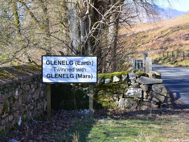
///flask.scan.tens. Near Glenelg, Highland
Nearby Locations
Related Wikis

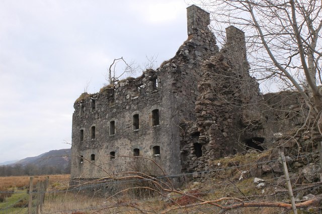
Bernera Barracks
Bernera Barracks is in Glenelg in the West Highlands of Scotland. The barracks were constructed between 1717 and 1723 as part of a campaign by the British...

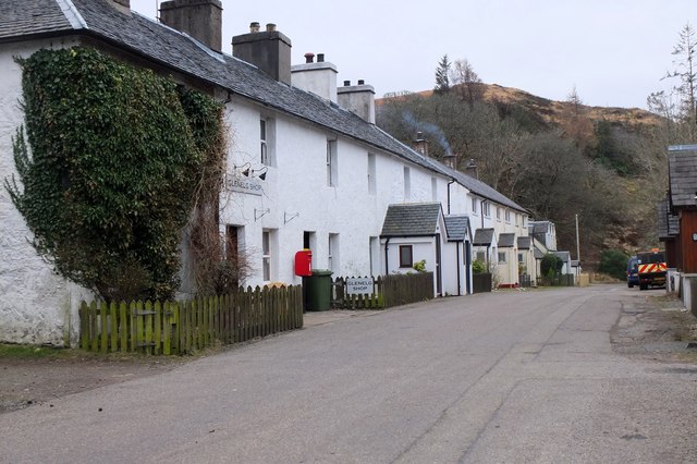
Glenelg Inn
Glenelg Inn is a public house and inn in the village of Glenelg in the Highlands of Scotland. The current building dates to the second half of the 20th...

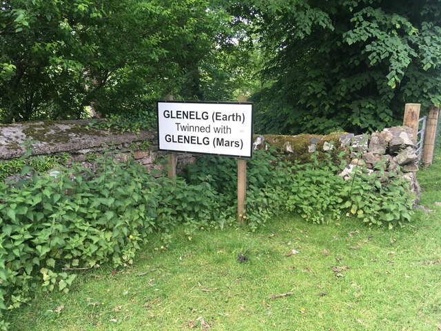
Glenelg, Highland
Glenelg (Scottish Gaelic: Glinn Eilg, also Gleann Eilg) is a scattered community area and civil parish in the Lochalsh area of Highland in western Scotland...

Glenelg Church
Glenelg Church is a Category B listed building in Glenelg, Highland, Scotland. Of Church of Scotland denomination, the church dates to the 18th century...
Nearby Amenities
Located within 500m of 57.213854,-5.5955313Have you been to Fank Waterfall?
Leave your review of Fank Waterfall below (or comments, questions and feedback).