Dail nan Tighean
Downs, Moorland in Inverness-shire
Scotland
Dail nan Tighean
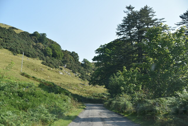
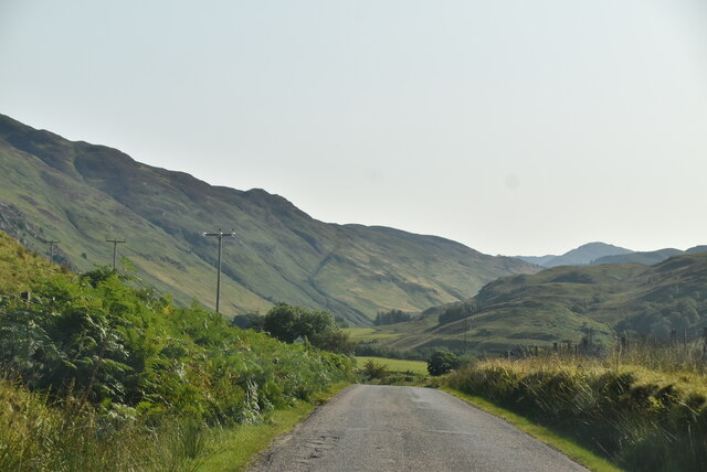
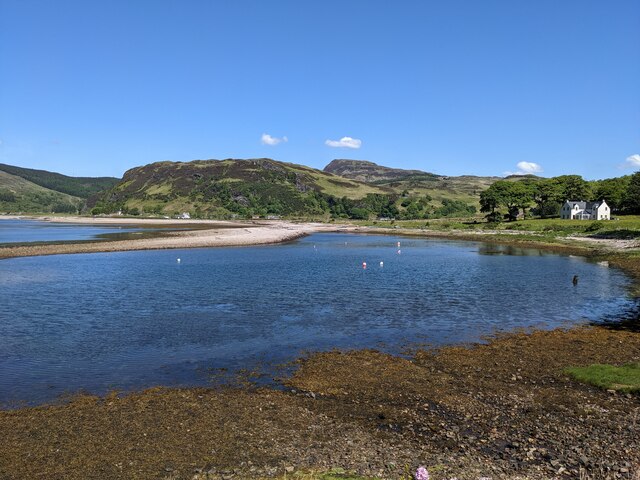
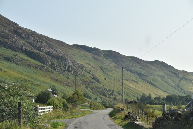
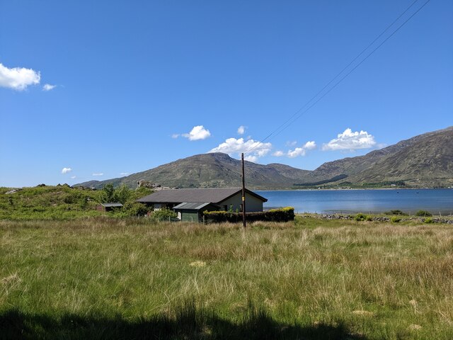
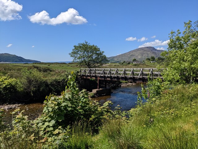
Dail nan Tighean is a vast and picturesque expanse of downs and moorland situated in Inverness-shire, Scotland. With an area of approximately 2,000 acres, it is a haven of natural beauty and tranquility.
The landscape of Dail nan Tighean is characterized by rolling hills, heather-covered moors, and scattered patches of woodland. The area is known for its rich biodiversity, hosting a wide range of plant and animal species. The downs provide a habitat for numerous bird species, including red grouse, skylarks, and kestrels, making it a popular destination for birdwatchers.
The moorland of Dail nan Tighean is dominated by heather, which blankets the landscape in a vibrant purple hue during the late summer months. This colorful scenery attracts hikers and nature enthusiasts who are drawn to the area's unique beauty.
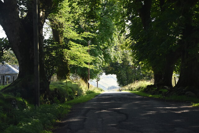
Visitors to Dail nan Tighean can explore the various walking trails that traverse the downs and moorland, allowing them to immerse themselves in the stunning surroundings. These trails offer breathtaking panoramic views of the surrounding countryside, with glimpses of distant mountains and sparkling lochs adding to the allure of the landscape.
The area is also home to a rich archaeological heritage, with evidence of prehistoric settlements and burial sites. These historical features provide a fascinating insight into the region's past, attracting archaeology enthusiasts and history buffs alike.
Overall, Dail nan Tighean is a captivating destination for those seeking to experience the natural beauty, tranquility, and cultural heritage of Inverness-shire's downs and moorland.
If you have any feedback on the listing, please let us know in the comments section below.
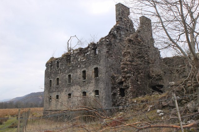
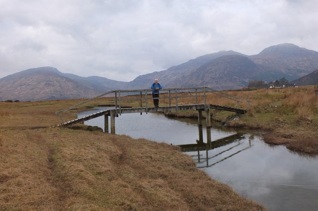
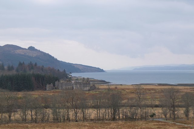
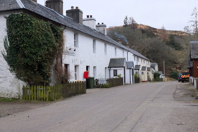
Dail nan Tighean Images
Images are sourced within 2km of 57.214075/-5.6053787 or Grid Reference NG8219. Thanks to Geograph Open Source API. All images are credited.


Dail nan Tighean is located at Grid Ref: NG8219 (Lat: 57.214075, Lng: -5.6053787)
Unitary Authority: Highland
Police Authority: Highlands and Islands
What 3 Words
///behave.rider.squabbles. Near Glenelg, Highland
Nearby Locations
Related Wikis

Bernera Barracks
Bernera Barracks is in Glenelg in the West Highlands of Scotland. The barracks were constructed between 1717 and 1723 as part of a campaign by the British...

Glenelg Inn
Glenelg Inn is a public house and inn in the village of Glenelg in the Highlands of Scotland. The current building dates to the second half of the 20th...

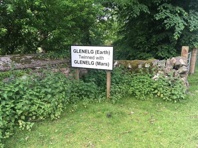
Glenelg, Highland
Glenelg (Scottish Gaelic: Glinn Eilg, also Gleann Eilg) is a scattered community area and civil parish in the Lochalsh area of Highland in western Scotland...

Glenelg Church
Glenelg Church is a Category B listed building in Glenelg, Highland, Scotland. Of Church of Scotland denomination, the church dates to the 18th century...
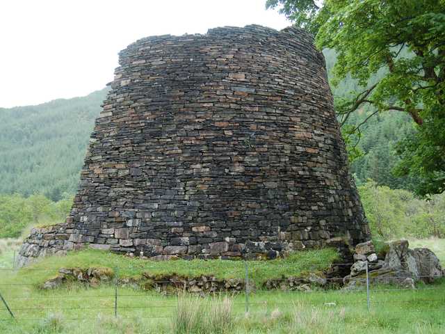
Dun Telve
Dun Telve (Scottish Gaelic: Dùn Teilbh) is an iron-age broch located about four kilometres (2.5 mi) southeast of the village of Glenelg, Inverness-shire...

Dun Troddan
Dun Troddan (Scottish Gaelic: Dùn Trodan) is an iron-age broch located about 5 kilometres (3.1 mi) southeast of the village of Glenelg, Highland, in Scotland...

Kylerhea
Kylerhea (Scottish Gaelic: Caol Reatha) is a village on the east coast of the Isle of Skye, in the Scottish Highlands, overlooking Kyle Rhea, a strait...

Beinn a' Chapuill
Beinn a' Chapuill (759 m) is a mountain in the Northwest Highlands of Scotland. It is located in Ross and Cromarty, close to the community of Glenelg....
Nearby Amenities
Located within 500m of 57.214075,-5.6053787Have you been to Dail nan Tighean?
Leave your review of Dail nan Tighean below (or comments, questions and feedback).