Givons Grove
Settlement in Surrey Mole Valley
England
Givons Grove
The requested URL returned error: 429 Too Many Requests
If you have any feedback on the listing, please let us know in the comments section below.
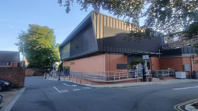
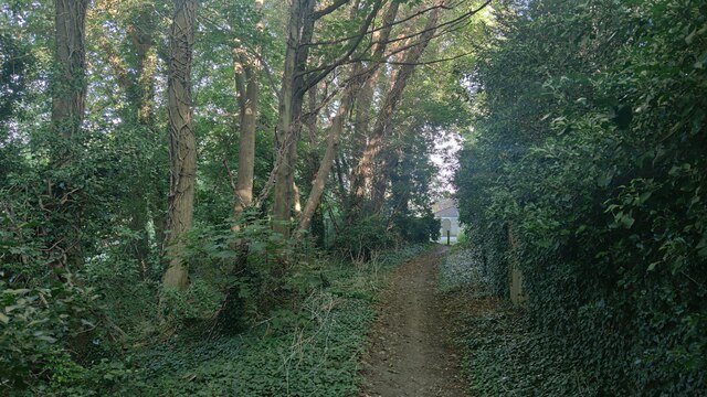
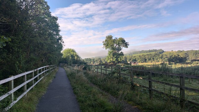
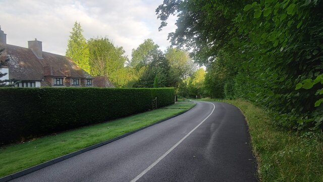
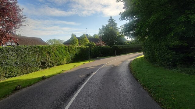
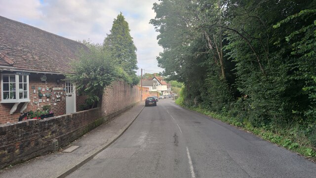
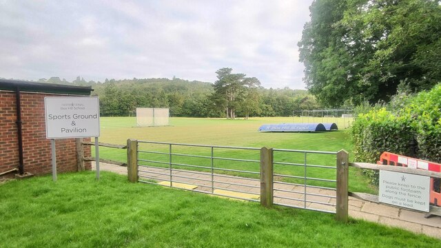
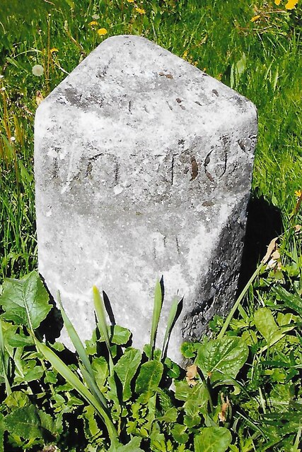
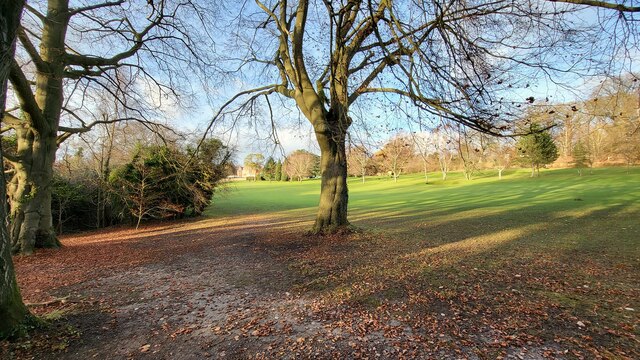
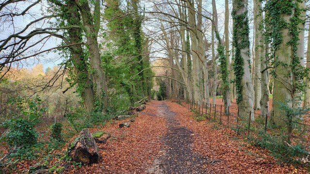
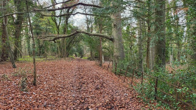
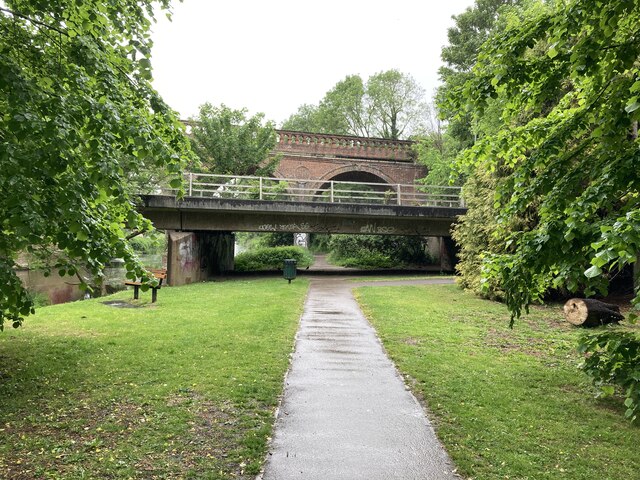
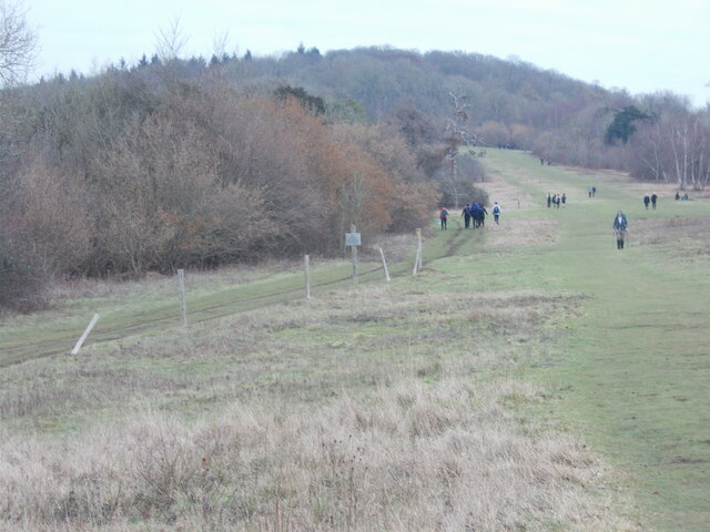
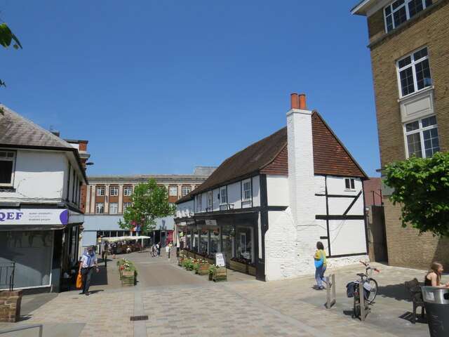
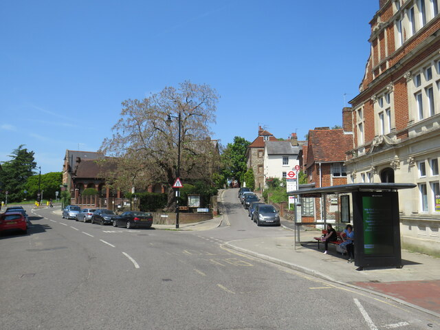
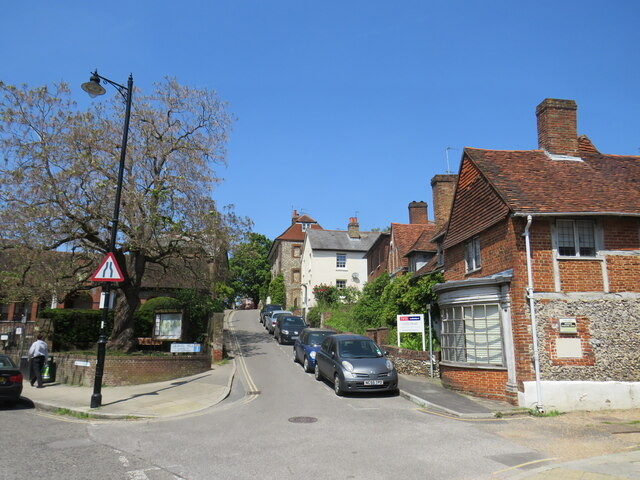
Givons Grove Images
Images are sourced within 2km of 51.280744/-0.321725 or Grid Reference TQ1754. Thanks to Geograph Open Source API. All images are credited.

Givons Grove is located at Grid Ref: TQ1754 (Lat: 51.280744, Lng: -0.321725)
Administrative County: Surrey
District: Mole Valley
Police Authority: Surrey
What 3 Words
///slowly.smart.files. Near Leatherhead, Surrey
Nearby Locations
Related Wikis

Cherkley Court
Cherkley Court, at the extreme southeast of Leatherhead, Surrey, in England, is a late Victorian neo-classical mansion and estate of 370 acres (1.5 km2...

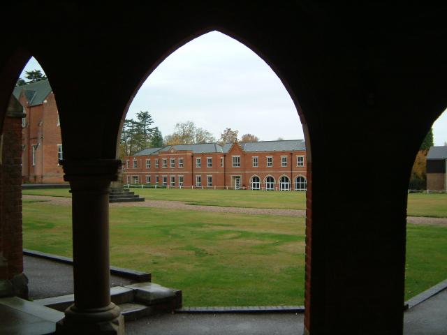
Box Hill School
Box Hill School is an independent coeducational boarding and day school situated in the village of Mickleham near Dorking, Surrey, England. The school...

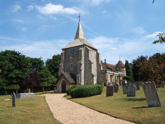
Church of St Mary & St Nicholas, Leatherhead
The Church of St Mary & St Nicholas is an Anglican parish church in Leatherhead, Surrey, England. Dating originally to around the 11th century, it remains...
Mickleham, Surrey
Mickleham is a village in south east England, between the towns of Dorking and Leatherhead in Surrey. The civil parish covers 7.31 square kilometres (1...
Nearby Amenities
Located within 500m of 51.280744,-0.321725Have you been to Givons Grove?
Leave your review of Givons Grove below (or comments, questions and feedback).