Leatherhead Downs
Downs, Moorland in Surrey Mole Valley
England
Leatherhead Downs
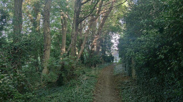
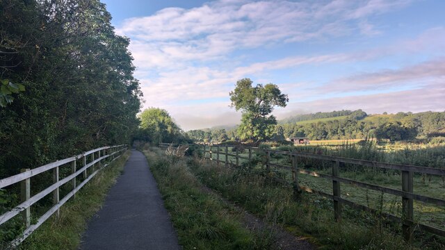
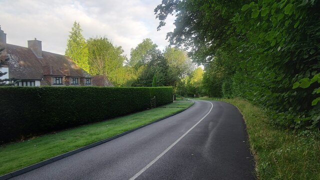
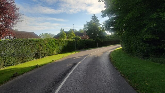
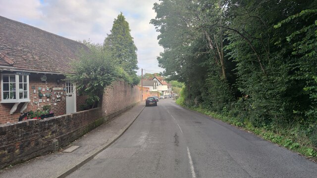
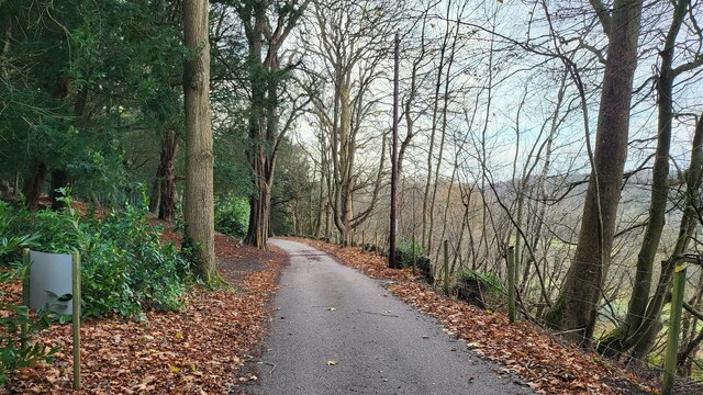
Leatherhead Downs, located in Surrey, England, is a picturesque area that encompasses both downs and moorland landscapes. Spread over an expansive area, it offers a diverse array of natural beauty and wildlife, attracting both locals and tourists alike.
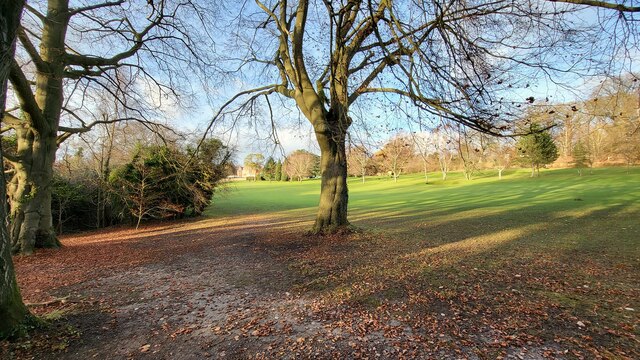
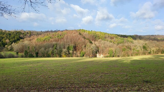
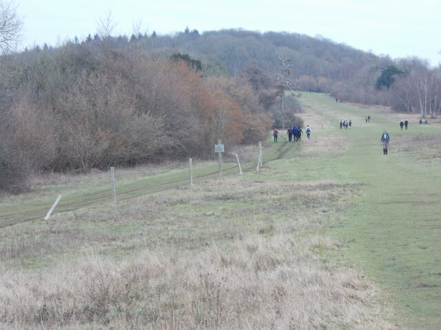
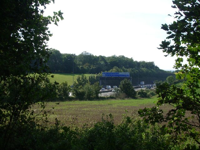
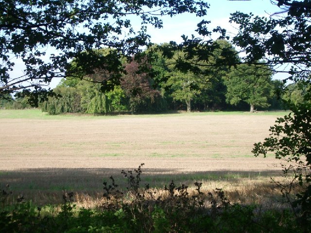
The downs portion of Leatherhead Downs is characterized by large, open grassy expanses that are perfect for leisurely walks, picnics, and recreational activities. The rolling hills provide stunning panoramic views of the surrounding countryside, making it a popular spot for nature enthusiasts and photographers to capture the beauty of the area. The downs are also home to a variety of plant and animal species, making it an ideal location for those interested in wildlife observation and conservation.
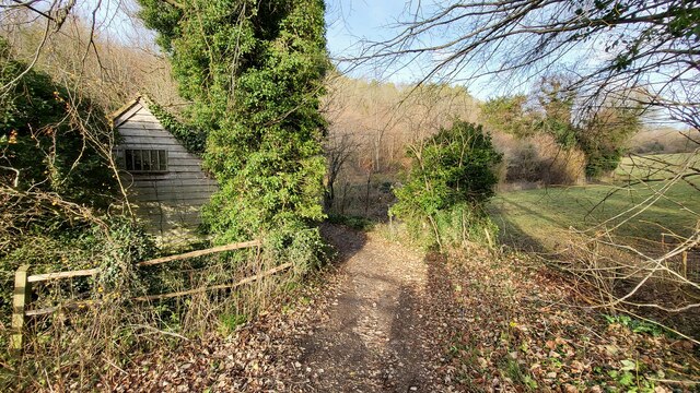
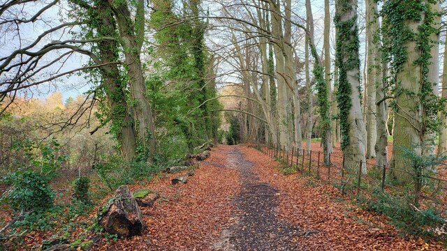
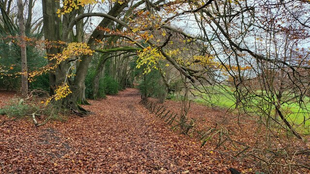
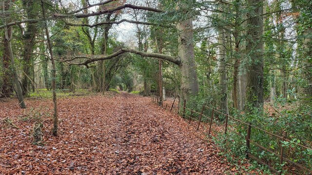
The moorland section of Leatherhead Downs is a unique ecosystem that provides a stark contrast to the downs. Here, visitors will find vast stretches of heather-covered land, interspersed with gorse bushes and scattered trees. The moorland is known for its rich biodiversity, with a variety of bird species, such as skylarks and stonechats, making it their home. The area is also home to several reptiles, including adders and lizards, as well as small mammals like rabbits and voles.
Leatherhead Downs offers a peaceful and serene environment, providing a much-needed escape from the bustle of daily life. Whether it's a leisurely stroll, a birdwatching expedition, or simply enjoying the stunning natural scenery, Leatherhead Downs is a destination that offers something for everyone.
If you have any feedback on the listing, please let us know in the comments section below.
Leatherhead Downs Images
Images are sourced within 2km of 51.280012/-0.31001024 or Grid Reference TQ1754. Thanks to Geograph Open Source API. All images are credited.
Leatherhead Downs is located at Grid Ref: TQ1754 (Lat: 51.280012, Lng: -0.31001024)
Administrative County: Surrey
District: Mole Valley
Police Authority: Surrey
What 3 Words
///hosts.staple.fees. Near Leatherhead, Surrey
Nearby Locations
Related Wikis

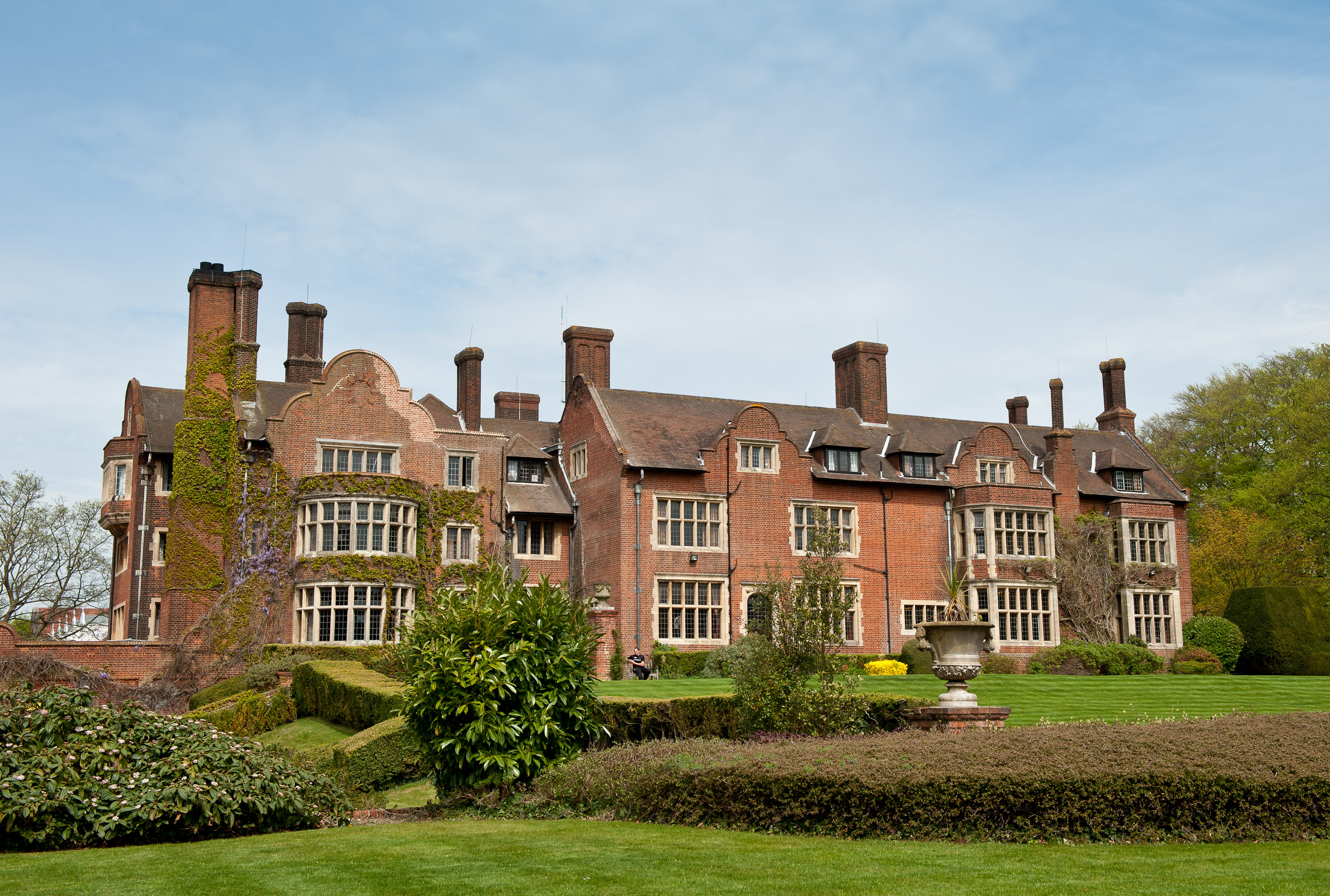
Cherkley Court
Cherkley Court, at the extreme southeast of Leatherhead, Surrey, in England, is a late Victorian neo-classical mansion and estate of 370 acres (1.5 km2...

Nower Wood
Nower Wood is a 33-hectare (81-acre) nature reserve south-west of Leatherhead in Surrey. It is owned and managed by Surrey Wildlife Trust.Nower Wood is...

Mickleham, Surrey
Mickleham is a village in south east England, between the towns of Dorking and Leatherhead in Surrey. The civil parish covers 7.31 square kilometres (1...

Box Hill School
Box Hill School is an independent coeducational boarding and day school situated in the village of Mickleham near Dorking, Surrey, England. The school...
St. Michael's Churchyard, Mickleham
St. Michael's Churchyard is the church and graveyard located in Mickleham, Surrey, England, belonging to the Church of England parish of Mickleham. �...

Church of St Mary & St Nicholas, Leatherhead
The Church of St Mary & St Nicholas is an Anglican parish church in Leatherhead, Surrey, England. Dating originally to around the 11th century, it remains...
Headley Court
Defence Medical Rehabilitation Centre Headley Court (abbreviated to DMRC Headley Court, and more commonly known as Headley Court), formerly RAF Headley...

Mole Valley (UK Parliament constituency)
Mole Valley is a constituency in Surrey represented in the House of Commons of the UK Parliament since 1997 by Sir Paul Beresford, a Conservative.Further...
Nearby Amenities
Located within 500m of 51.280012,-0.31001024Have you been to Leatherhead Downs?
Leave your review of Leatherhead Downs below (or comments, questions and feedback).