Gilbert's Green

Settlement in Warwickshire Stratford-on-Avon

England

Gilbert's Green

Forde Hall Lane, Trap's View
Forde Hall Lane, Trap's View Credit: Roy Hughes

Gilbert's Green is a small village located in the county of Warwickshire, England. Situated approximately 6 miles south of Warwick and 12 miles east of Stratford-upon-Avon, it is nestled in the picturesque countryside of the region.

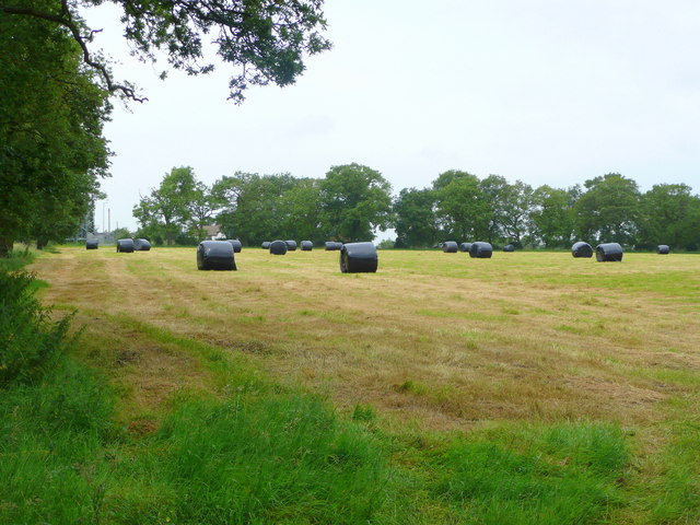
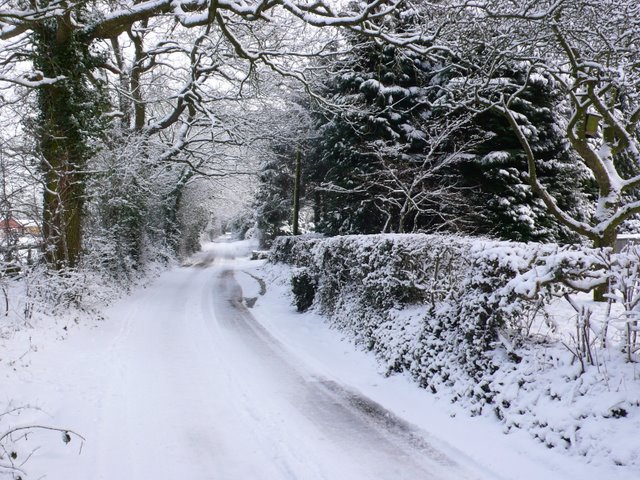
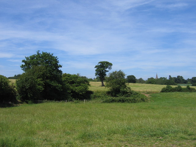
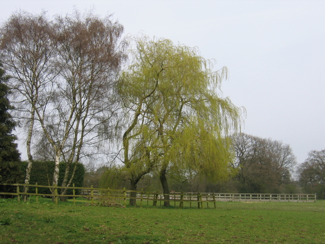
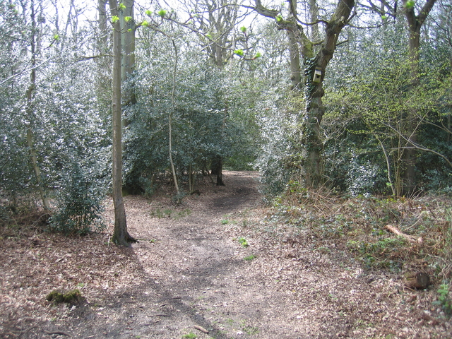
The village is characterized by its charming rural setting, with rolling hills, meadows, and farmland surrounding it. Gilbert's Green is known for its idyllic landscapes, making it a popular destination for nature enthusiasts and those seeking a peaceful retreat.

The village itself is small, with a tight-knit community of around 200 residents. The locals are known for their friendliness and welcoming nature, creating a warm and inviting atmosphere for visitors.

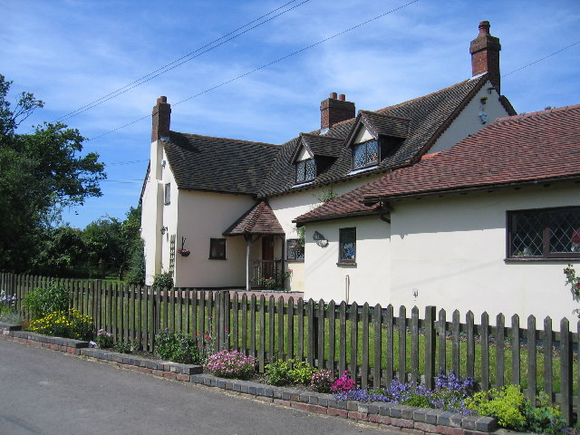
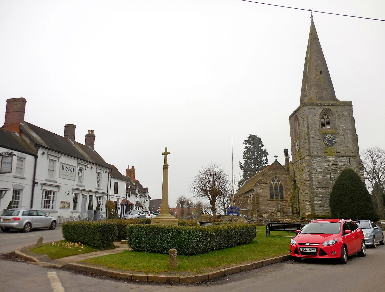
Gilbert's Green has a rich history, dating back to medieval times. It has seen various changes over the centuries, but remnants of its past can still be seen in the architecture of some of the older buildings in the village.

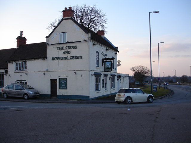
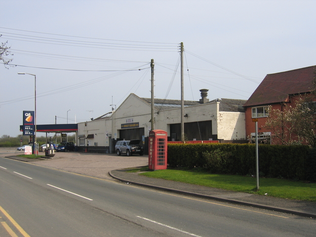
Although small, the village has a few amenities to cater to the needs of its residents. These include a local pub, a primary school, and a village hall that hosts community events and gatherings.

For those looking to explore the surrounding area, Gilbert's Green is conveniently located near several attractions. Warwick Castle, one of the most well-preserved castles in the country, is just a short drive away, as is the historic town of Stratford-upon-Avon, birthplace of William Shakespeare.

In conclusion, Gilbert's Green is a picturesque village in Warwickshire, offering a peaceful and friendly environment for its residents and visitors alike. With its natural beauty and proximity to other notable attractions, it is an ideal destination for those seeking a quintessential English countryside experience.

If you have any feedback on the listing, please let us know in the comments section below.

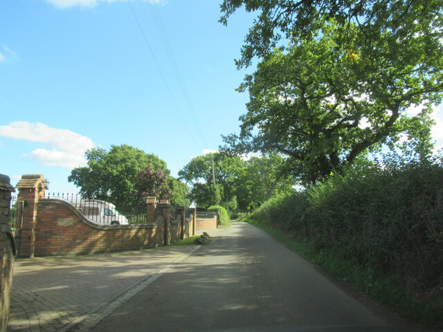
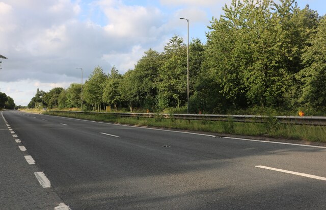
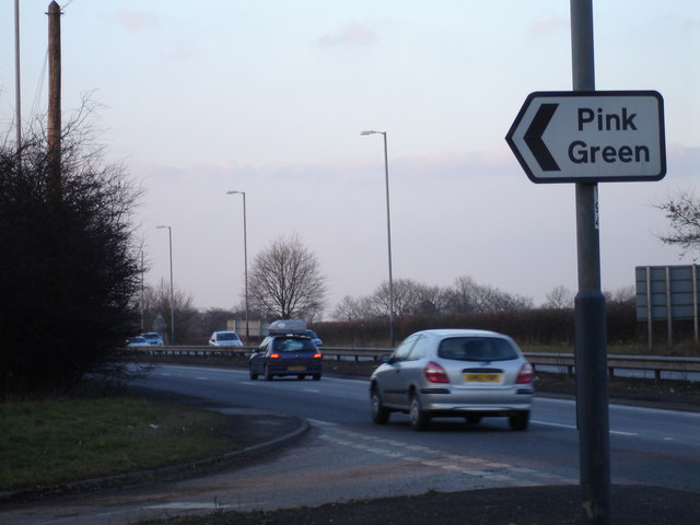
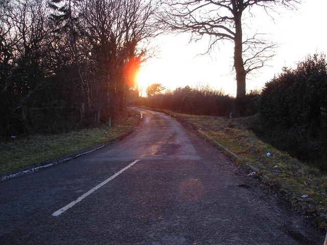
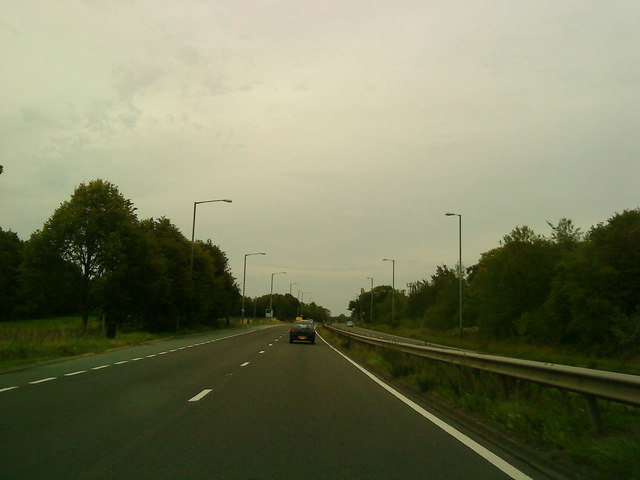
Gilbert's Green Images

Images are sourced within 2km of 52.338036/-1.851288 or Grid Reference SP1071. Thanks to Geograph Open Source API. All images are credited.

Forde Hall Lane, Trap's View
The A435, Pink Green
The A435 highway junction to Pink Green This colourfully named small hamlet is signposted directly off the A435 trunk road near Redditch
The A435 highway junction to Pink Green
This colourfully named small hamlet is signposted directly off the A435 trunk road near Redditch
Sunset on the lane leading to Pink Green A late winter's sunset over the lane leading to the quaintly named hamlet of Pink Green
Sunset on the lane leading to Pink Green
A late winter's sunset over the lane leading to the quaintly named hamlet of Pink Green
Green lane to Aspley Heath Looking north-east from near Alderhanger Farm.
Green lane to Aspley Heath
Looking north-east from near Alderhanger Farm.
Baled up and ready to go A good first silage cut from this field near Alderhanger Farm.
Baled up and ready to go
A good first silage cut from this field near Alderhanger Farm.
Pink Green is White! This snowy lane is not far from Pink Green and is just north of Alderhanger Farm just to the east of the A435.
Pink Green is White!
This snowy lane is not far from Pink Green and is just north of Alderhanger Farm just to the east of the A435.
A435 at Pink Green
A435 at Pink Green
Hill Farm Near Tanworth-in-Arden with a colourful kerbside floral display.
Hill Farm
Near Tanworth-in-Arden with a colourful kerbside floral display.
The Pit Looking across the north east corner of the square with the spire of Tanworth-in-Arden church visible in the distance. The trees surround what the map labels as a "pit (disused)".
The Pit
Looking across the north east corner of the square with the spire of Tanworth-in-Arden church visible in the distance. The trees surround what the map labels as a "pit (disused)".
The Cross and Bowling Green Inn at Bransons Cross This popular Inn is located directly off the busy A435 trunk road at Bransons Cross, close to Redditch, Beoley and Tanworth.
The Cross and Bowling Green Inn at Bransons Cross
This popular Inn is located directly off the busy A435 trunk road at Bransons Cross, close to Redditch, Beoley and Tanworth.
Earlswood Trading Estate Situated in Poolhead lane, some way from Earlswood itself.
Earlswood Trading Estate
Situated in Poolhead lane, some way from Earlswood itself.
Rushbrook The entrance to Rushbrook Farm.
Rushbrook
The entrance to Rushbrook Farm.
Spring in Rushbrook The first greenery starting to appear.
Spring in Rushbrook
The first greenery starting to appear.
Entrance to Lion Wood Nature reserve The interpretation board at the entrance to the reserve from the old Alcester Road.
Entrance to Lion Wood Nature reserve
The interpretation board at the entrance to the reserve from the old Alcester Road.
Lion Wood Nature Reserve Looking into the nature reserve at the entrance from the old Alcester Road.
Lion Wood Nature Reserve
Looking into the nature reserve at the entrance from the old Alcester Road.
White Lion Park The Showman's Site in between the old and the new Alcester Roads.
White Lion Park
The Showman's Site in between the old and the new Alcester Roads.
Beoley Garage The garage at Branson's Cross (is he?) and the 'phone box shown on the current 1:25,000 OS map.
Beoley Garage
The garage at Branson's Cross (is he?) and the 'phone box shown on the current 1:25,000 OS map.
Show me another place!

Gilbert's Green is located at Grid Ref: SP1071 (Lat: 52.338036, Lng: -1.851288)

Administrative County: Warwickshire

District: Stratford-on-Avon

Police Authority: Warwickshire

What 3 Words

///bricks.zeal.speak. Near Tidbury Green, West Midlands

Nearby Locations

Gilbert's Green Wood End

Related Wikis

Wood End, Stratford-on-Avon

Wood End is a village in Warwickshire, England. It is about 1 mile north of Tanworth-in-Arden (where the population can be found), and has a railway station...

Ladbrooke, Tanworth-in-Arden

Ladbrooke is an historic estate in the parish of Tanworth-in-Arden, Warwickshire, England. The early history until the late 14th century is sparse and...

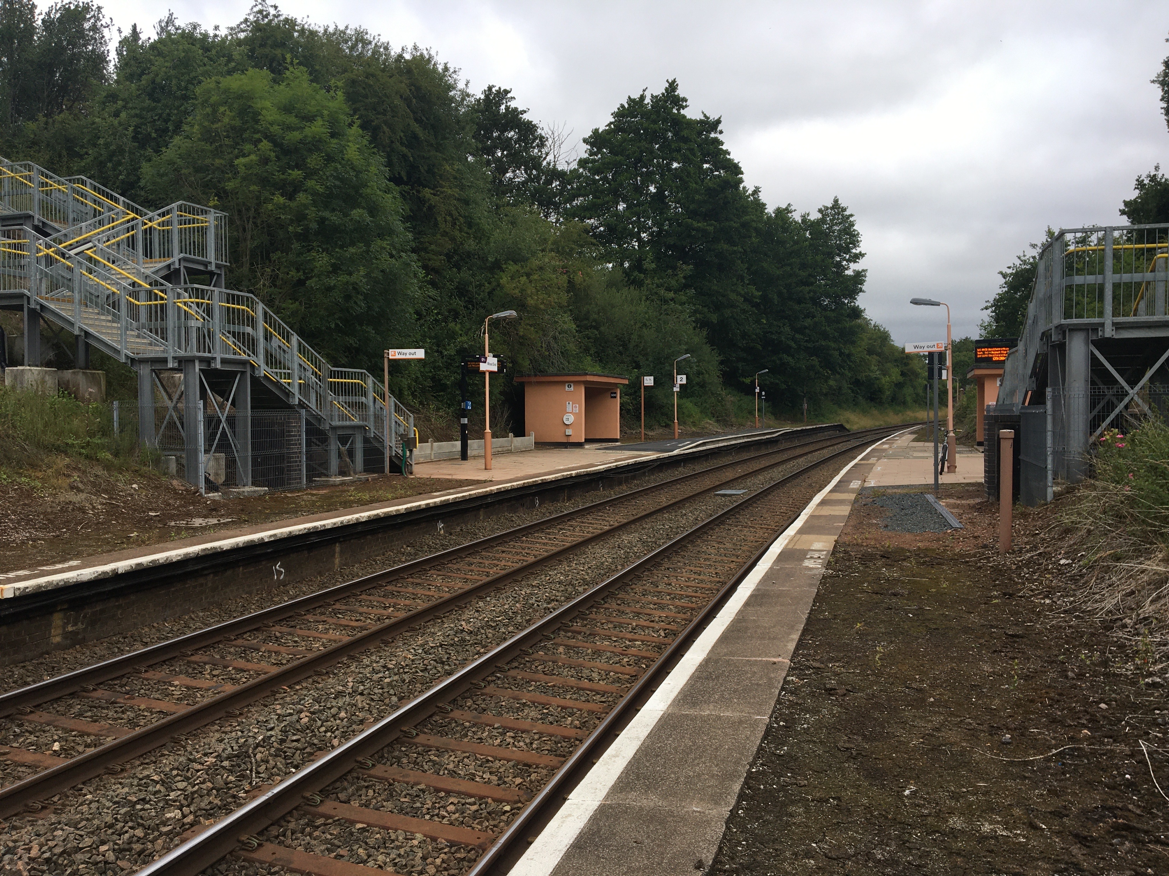
Wood End railway station

Wood End is a railway station on the North Warwickshire Line serving the village of Wood End in Warwickshire, England. Situated on the Stratford-upon-Avon...

Tanworth-in-Arden

Tanworth-in-Arden (; often abbreviated to Tanworth) is a village and civil parish in the county of Warwickshire, England. It is 12.5 miles (20 km) south...
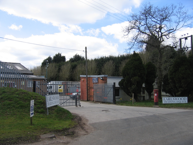
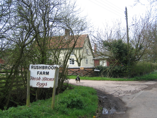
Nearby Amenities

Located within 500m of 52.338036,-1.851288
Bus Stop
Penn Lane
Bus: yes
Naptan AtcoCode: 4200F023900
Naptan Bearing: SW
Naptan CommonName: Penn Lane
Naptan Indicator: Opp
Naptan NaptanCode: wardgjtg
Naptan Street: Broad Lane
Naptan Verified: no
Public Transport: platform
Source: naptan_import
Lat/Long: 52.3394409/-1.8496503
Penn Lane
Naptan AtcoCode: 4200F023901
Naptan Bearing: NE
Naptan BusStopType: CUS
Naptan CommonName: Penn Lane
Naptan Indicator: Adj
Naptan NaptanCode: wardjtam
Naptan Street: Broad Lane
Naptan Verified: no
Source: naptan_import
Lat/Long: 52.3395206/-1.8498019
Post Box
Collection Times: Mo-Fr 09:00; Sa 07:00
Note: not the ref I was expecting to find here. Ref confirmed 16/09/20
Operator: Royal Mail
Operator Wikidata: Q638098
Post Box Type: lamp
Ref: B95 16D
Royal Cypher: EIIR
Royal Cypher Wikidata: Q33102113
Source: survey
Lat/Long: 52.3414278/-1.8559641
Generator Method: photovoltaic
Generator Output Electricity: yes
Generator Source: solar
Generator Type: solar_photovoltaic_panel
Location: roof
Power: generator
Lat/Long: 52.3405539/-1.8522705
Generator Method: photovoltaic
Generator Output Electricity: yes
Generator Source: solar
Generator Type: solar_photovoltaic_panel
Location: roof
Power: generator
Lat/Long: 52.340603/-1.8524046
Power: pole
Ref: 720999
Source: wpd_opendata
Transformer: distribution
Lat/Long: 52.3386111/-1.8446262
Power: pole
Source: bing
Lat/Long: 52.3385218/-1.8449548
Power: pole
Source: bing
Lat/Long: 52.3379941/-1.8466848
Power: pole
Source: bing
Lat/Long: 52.3374975/-1.848321
Power: pole
Source: bing
Lat/Long: 52.3371451/-1.8495092
Power: pole
Source: bing
Lat/Long: 52.3367879/-1.8507162
Power: pole
Source: bing
Lat/Long: 52.3367076/-1.8524489
Power: pole
Ref: 721070
Source: wpd_opendata
Transformer: distribution
Lat/Long: 52.3366076/-1.8540153
Power: pole
Source: bing
Lat/Long: 52.3342852/-1.8545303
Power: pole
Source: bing
Lat/Long: 52.3350178/-1.8543586
Power: pole
Source: bing
Lat/Long: 52.3357308/-1.8540823
Power: pole
Source: bing
Lat/Long: 52.3364355/-1.8538329
The data included in this document is from www.openstreetmap.org. The data is made available under ODbL.

Have you been to Gilbert's Green?

Leave your review of Gilbert's Green below (or comments, questions and feedback).