Wood End
Settlement in Warwickshire Stratford-on-Avon
England
Wood End
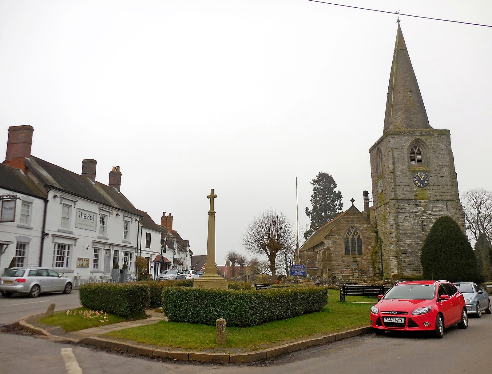
Wood End is a picturesque village located in the county of Warwickshire, England. Situated just five miles west of the historic town of Atherstone, Wood End is surrounded by stunning countryside and offers a tranquil escape from the bustling city life. It is a small village with a population of around 800 residents.
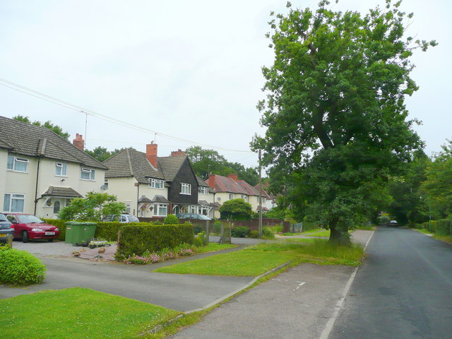
The village of Wood End is known for its charming thatched cottages, traditional architecture, and friendly community atmosphere. The village is predominantly residential, with a few local amenities including a post office, a village hall, and a primary school. The village also has a local pub, which serves as a popular meeting place for both residents and visitors.
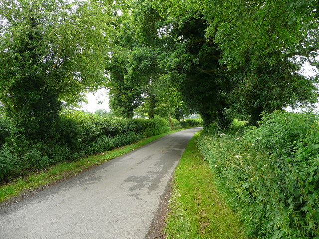
One of the highlights of Wood End is its beautiful natural surroundings. The village is surrounded by rolling hills, picturesque farmland, and woodlands, making it an ideal location for outdoor enthusiasts. There are several scenic walking trails and cycling routes in the area, allowing visitors to explore the beauty of Warwickshire's countryside.
Wood End is also conveniently located near several notable attractions. The nearby town of Atherstone offers a range of shops, restaurants, and historical landmarks. Additionally, the vibrant city of Birmingham is just a short drive away, providing residents with access to a wide range of cultural, entertainment, and shopping opportunities.
In summary, Wood End offers a peaceful and idyllic village experience in the heart of Warwickshire's stunning countryside. With its charming architecture, friendly community, and beautiful natural surroundings, it is a place that captures the essence of rural England.
If you have any feedback on the listing, please let us know in the comments section below.
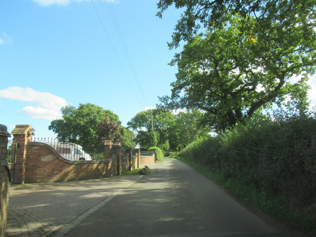
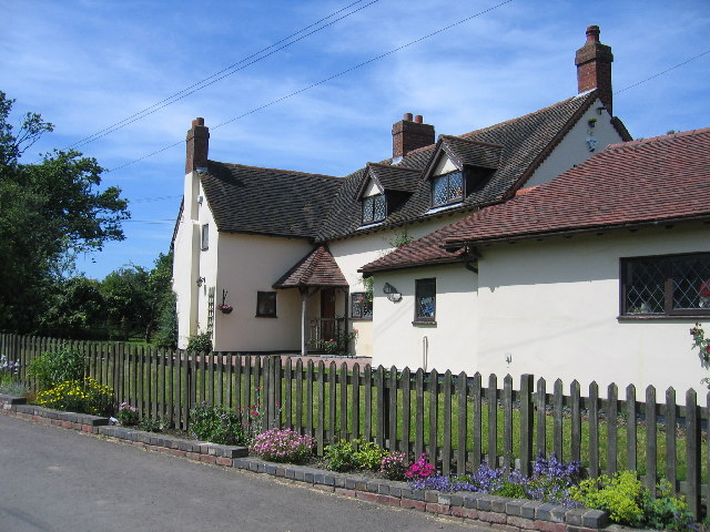
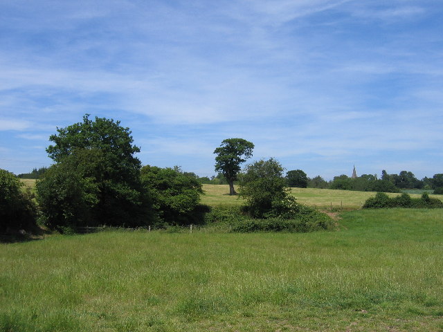
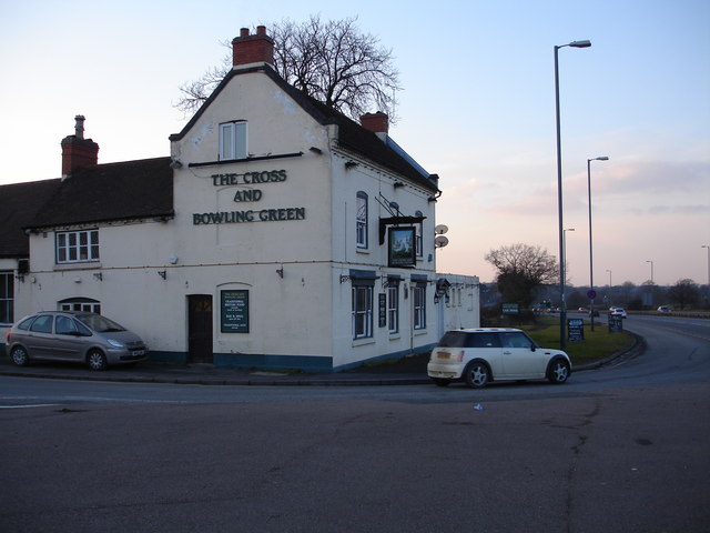
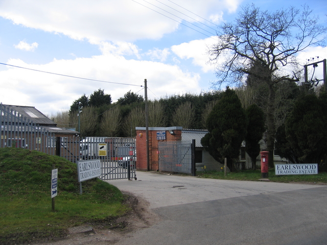
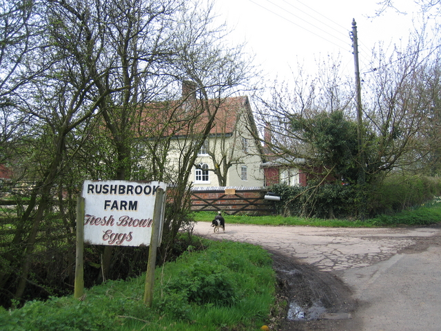
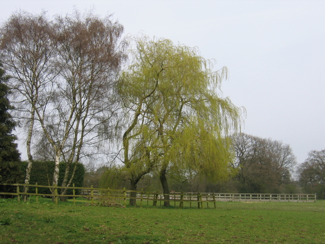
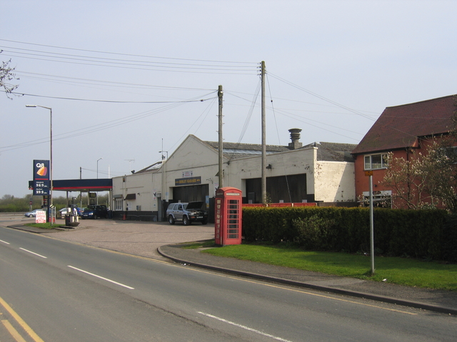
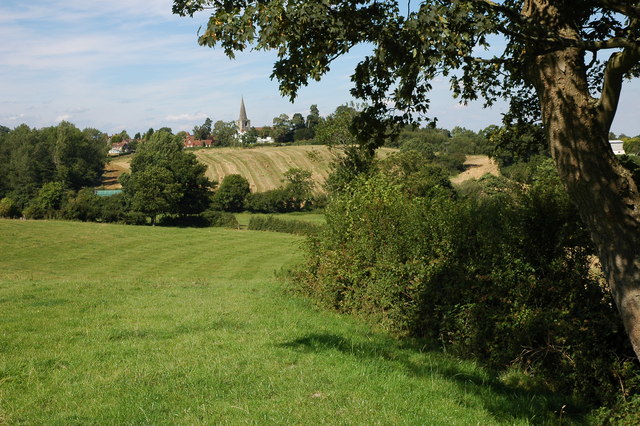
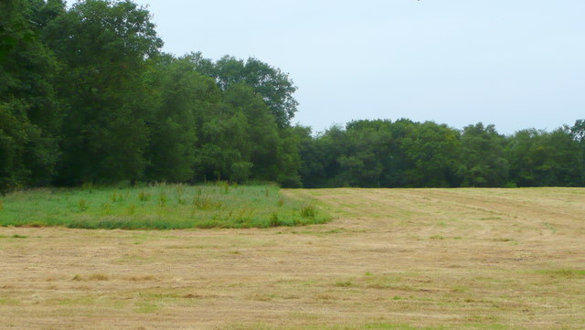
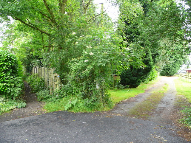
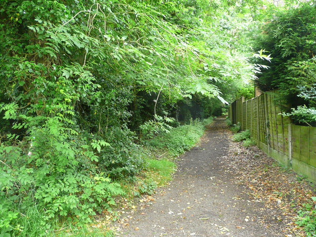
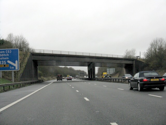
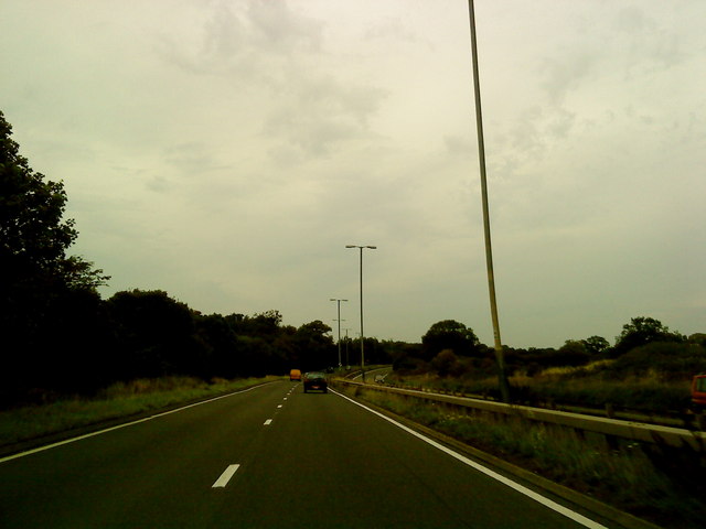
Wood End Images
Images are sourced within 2km of 52.341668/-1.8465399 or Grid Reference SP1071. Thanks to Geograph Open Source API. All images are credited.


Wood End is located at Grid Ref: SP1071 (Lat: 52.341668, Lng: -1.8465399)
Administrative County: Warwickshire
District: Stratford-on-Avon
Police Authority: Warwickshire
What 3 Words
///erase.jacket.became. Near Tidbury Green, West Midlands
Nearby Locations
Related Wikis

Wood End, Stratford-on-Avon
Wood End is a village in Warwickshire, England. It is about 1 mile north of Tanworth-in-Arden (where the population can be found), and has a railway station...
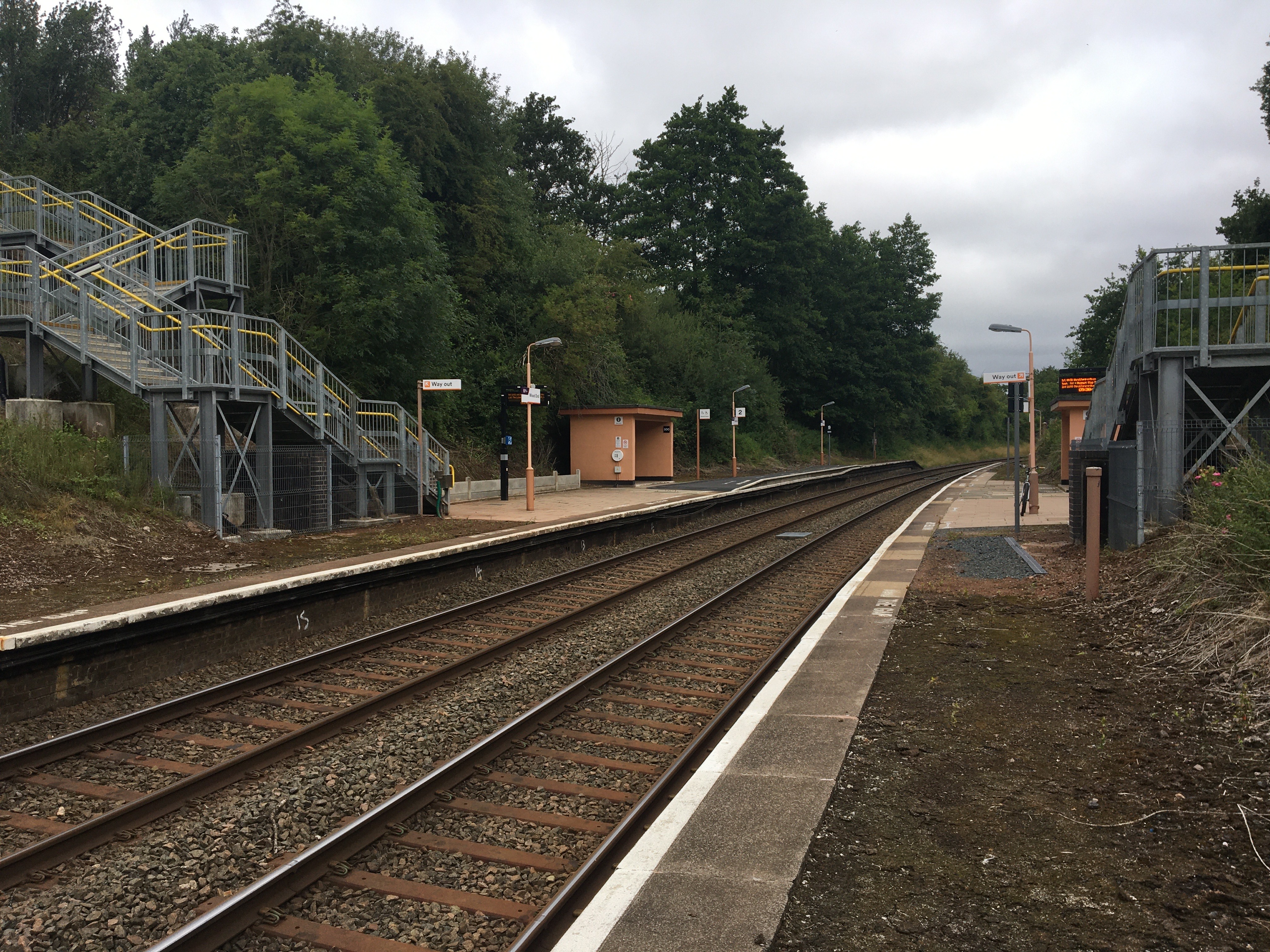
Wood End railway station
Wood End is a railway station on the North Warwickshire Line serving the village of Wood End in Warwickshire, England. Situated on the Stratford-upon-Avon...

Ladbrooke, Tanworth-in-Arden
Ladbrooke is an historic estate in the parish of Tanworth-in-Arden, Warwickshire, England. The early history until the late 14th century is sparse and...
Tanworth-in-Arden
Tanworth-in-Arden (; often abbreviated to Tanworth) is a village and civil parish in the county of Warwickshire, England. It is 12.5 miles (20 km) south...
Nearby Amenities
Located within 500m of 52.341668,-1.8465399Have you been to Wood End?
Leave your review of Wood End below (or comments, questions and feedback).