Wood End

Settlement in Warwickshire North Warwickshire

England

Wood End

Baxterley Church
Baxterley Church Credit: AJD

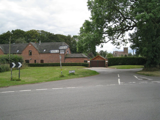
Wood End is a small village located in the county of Warwickshire, in central England. Situated about 8 miles north of the town of Coventry, Wood End is part of the Nuneaton and Bedworth district. The village is surrounded by picturesque countryside, with rolling hills and farmland. It has a population of around 1,500 residents.

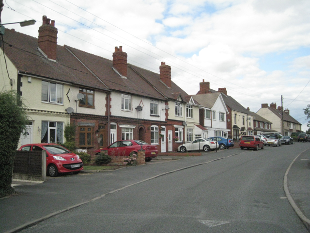
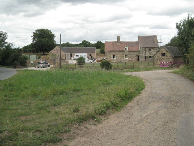
The village is primarily residential, with a mix of housing styles including detached houses, semi-detached houses, and cottages. The architecture in Wood End is predominantly traditional, with many buildings reflecting the area's rural charm. The village also has a small number of local amenities, including a primary school, a post office, and a village hall.

Wood End benefits from its close proximity to larger towns and cities, such as Coventry and Nuneaton, which provide residents with a wider range of services and amenities. The village is well-connected by road, with the A444 running just to the west, providing easy access to nearby areas.

For nature enthusiasts, Wood End offers plenty of opportunities for outdoor activities. The surrounding countryside provides scenic walking and cycling routes, making it an ideal location for those who enjoy exploring the great outdoors.

Overall, Wood End is a peaceful and charming village, offering a tight-knit community and a rural way of life, while still benefiting from its convenient location near larger towns and cities.

If you have any feedback on the listing, please let us know in the comments section below.
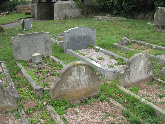
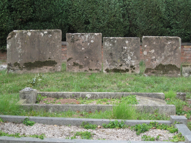
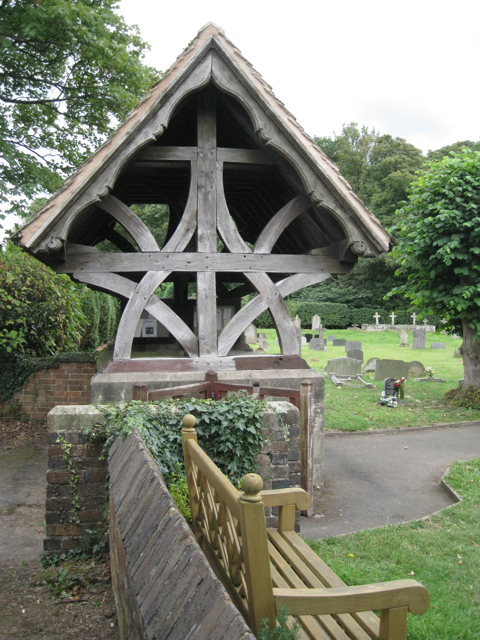
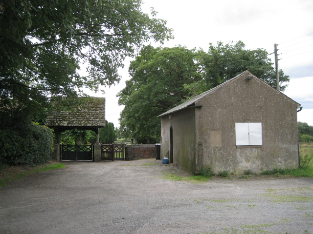
Wood End Images

Images are sourced within 2km of 52.582804/-1.6444233 or Grid Reference SP2498. Thanks to Geograph Open Source API. All images are credited.

Baxterley Church
Baxterley Church
M42 Motorway in cutting near Slateley Hall Farm
M42 Motorway - Holt Hall Farm accommodation bridge
M42 Motorway near Edge Hill
M42 Motorway - minor road overbridge near Whateley
M42 Motorway - minor road overbridge near Freasley
Home Farm, Hurley Common
Boulters Lane, Wood End CV9  This village in north Arden is rather different from its southern Arden namesake in SP1071.
Boulters Lane, Wood End CV9
This village in north Arden is rather different from its southern Arden namesake in SP1071.
Remains of a railway footbridge, Birch Coppice  The four supports of the bridge can be seen among the scrub woodland that is growing up on the trackbed of the disused Kingsbury branch line. The footbridge is on a direct route between the village of Wood End and the former Birch Coppice colliery. The disused railway is walkable although it is not a public right of way.
Remains of a railway footbridge, Birch Coppice
The four supports of the bridge can be seen among the scrub woodland that is growing up on the trackbed of the disused Kingsbury branch line. The footbridge is on a direct route between the village of Wood End and the former Birch Coppice colliery. The disused railway is walkable although it is not a public right of way.
Birmingham Intermodal Freight Terminal, Birch Coppice See <a href="https://www.geograph.org.uk/photo/603341">SP2599 : Birmingham Intermodal Freight Terminal</a> This view is from the disused railway line to the south. In the background is the landscaped hill of spoil from the former Birch Coppice colliery. <span class="nowrap"><a title="http://www.roadways.co.uk/images/gallery/Birmingham-freight-terminal.jpg" rel="nofollow ugc noopener" href="http://www.roadways.co.uk/images/gallery/Birmingham-freight-terminal.jpg">Link</a><img style="margin-left:2px;" alt="External link" title="External link - shift click to open in new window" src="https://s1.geograph.org.uk/img/external.png" width="10" height="10"/></span>
Birmingham Intermodal Freight Terminal, Birch Coppice
See SP2599 : Birmingham Intermodal Freight Terminal This view is from the disused railway line to the south. In the background is the landscaped hill of spoil from the former Birch Coppice colliery. LinkExternal link
Ornamental trees near Hipsley Farm  The old farm is a still-developing complex of self-catering holiday cottages and apartments.
Ornamental trees near Hipsley Farm
The old farm is a still-developing complex of self-catering holiday cottages and apartments.
Memorials to members of the Redhead family  In Baxterley churchyard it is noticeable how several generations of the same family are buried together.
Memorials to members of the Redhead family
In Baxterley churchyard it is noticeable how several generations of the same family are buried together.
Memorials to members of the Knowles family  In Baxterley churchyard it is noticeable how several generations of the same family are buried together.
This low-level Art Deco style of memorial seems to have appeared in the 1920s and was still being used in the 1950s.
Memorials to members of the Knowles family
In Baxterley churchyard it is noticeable how several generations of the same family are buried together. This low-level Art Deco style of memorial seems to have appeared in the 1920s and was still being used in the 1950s.
Memorials to members of the Glover family  In Baxterley churchyard it is noticeable how several generations of the same family are buried together. The third stone from the left bears the date 1643: the time of the first Civil War.
"The church has a west front and bell turret built by Hugh Glover, son of Robert, burnt as a heretic at Coventry in 1555" — from the 1979 Shell Guide to Warwickshire by Douglas Hickman.
Memorials to members of the Glover family
In Baxterley churchyard it is noticeable how several generations of the same family are buried together. The third stone from the left bears the date 1643: the time of the first Civil War. "The church has a west front and bell turret built by Hugh Glover, son of Robert, burnt as a heretic at Coventry in 1555" — from the 1979 Shell Guide to Warwickshire by Douglas Hickman.
Lychgate, Baxterley parish church
Approach to Baxterley parish church  The building on the right was a schoolroom. A tablet dated 1839 on the far gable wall is inscribed with a phrase from the gospel of St John, 'Feed my lambs'.
Approach to Baxterley parish church
The building on the right was a schoolroom. A tablet dated 1839 on the far gable wall is inscribed with a phrase from the gospel of St John, 'Feed my lambs'.
North end of Hipsley Lane  At its junction with Main Road between Baxterley and Wood End. On the left is a new house called Latimer's Place, with Baxterley parish church in the background.
North end of Hipsley Lane
At its junction with Main Road between Baxterley and Wood End. On the left is a new house called Latimer's Place, with Baxterley parish church in the background.
Green Farm  In course of refurbishment.
Green Farm
In course of refurbishment.
Show me another place!

Wood End is located at Grid Ref: SP2498 (Lat: 52.582804, Lng: -1.6444233)

Administrative County: Warwickshire

District: North Warwickshire

Police Authority: Warwickshire

What 3 Words

///perplexed.stubble.spray. Near Kingsbury, Warwickshire

Nearby Locations

Wood End

Related Wikis

Wood End, Kingsbury, Warwickshire

Wood End is a former Pit village in North Warwickshire, England. It lies to the south east of Tamworth and close to the border with Staffordshire. It grew...

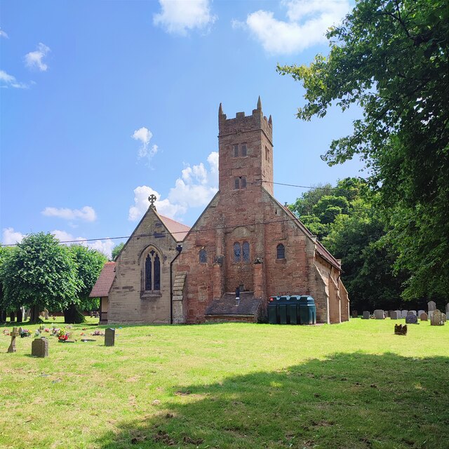
St Michael & All Angels Church, Wood End

St Michael & All Angels Church is a Church of England church in the village of Wood End, Warwickshire, England. Built in 1906, this small wooden church...

Hurley Common

Hurley Common is a village in North Warwickshire, England, between Wood End and Hurley, it consists of several houses and 2 Farms, Hurley common does not...

Piccadilly, Warwickshire

Piccadilly is a small village in the North Warwickshire district of the county of Warwickshire in England. It is located near to the larger village of...

Related Videos

The Heart Of England Way (Part 7) Kingsbury to Whitacre Heath

The seventh part of my walk along the Heart of England Way. Continuing from the village of Kingsbury where I finished in part 6, ...

The Parish Church of St. Andrew’s - Kingsbury, London

St. Andrew's is the Anglican Parish Church serving the large community of lower Kingsbury and Chalk Hill, in North West London, ...

I'm Dreaming of a White Christmas Hipsley Farm

Sponsored walk finishing at Hipsley Farm near Atherstone. Local pilot flies over in his Tiger Moth. The raffle prize was a flight in it.

Nearby Amenities

Located within 500m of 52.582804,-1.6444233
Source: Warwickshire_CC_ Aerial_Imagery_2013
Traffic Calming: bump
Lat/Long: 52.580183/-1.6389218
Source: Warwickshire_CC_ Aerial_Imagery_2013
Traffic Calming: bump
Lat/Long: 52.5840287/-1.6459721
Bus Stop
Islington Crescent
Bus: yes
Naptan AtcoCode: 4200F081001
Naptan Bearing: SE
Naptan CommonName: Islington Crescent
Naptan Indicator: Adj
Naptan NaptanCode: waradwgm
Naptan Street: Tamworth Road
Naptan Verified: no
Public Transport: platform
Source: naptan_import
Lat/Long: 52.5806943/-1.6401589
Bus Stop
Islington Crescent
Bus: yes
Naptan AtcoCode: 4200F081002
Naptan Bearing: NW
Naptan CommonName: Islington Crescent
Naptan Indicator: Opp
Naptan NaptanCode: waradwgp
Naptan Street: Tamworth Road
Naptan Verified: no
Public Transport: platform
Source: naptan_import
Lat/Long: 52.5805794/-1.6400721
Bus Stop
Post Office
Bus: yes
Naptan AtcoCode: 4200F081100
Naptan Bearing: SE
Naptan CommonName: Post Office
Naptan Indicator: Adj
Naptan Landmark: Post Office
Naptan NaptanCode: waradwgt
Naptan Street: Tamworth Road
Naptan Verified: no
Public Transport: platform
Source: naptan_import
Lat/Long: 52.5820663/-1.6430014
Bus Stop
Smith Street
Bus: yes
Naptan AtcoCode: 4200F171602
Naptan Bearing: NW
Naptan CommonName: Smith Street
Naptan Indicator: Adj
Naptan NaptanCode: waradgad
Naptan Street: Tamworth Road
Naptan Verified: no
Public Transport: platform
Source: naptan_import
Lat/Long: 52.5825424/-1.6440698
Source: Warwickshire_CC_ Aerial_Imagery_2013
Traffic Calming: bump
Lat/Long: 52.5809496/-1.6408518
Wood End
Place: village
Source: NPE;survey
Wikidata: Q8032182
Lat/Long: 52.5824436/-1.6424757
Source: Warwickshire_CC_ Aerial_Imagery_2013
Traffic Calming: bump
Lat/Long: 52.5820894/-1.6432159
Post Box
Operator: Royal Mail
Operator Wikidata: Q638098
Ref: CV9 8
Lat/Long: 52.5816235/-1.6424772
Give Way
Source: Warwickshire_CC_ Aerial_Imagery_2013
Lat/Long: 52.5808136/-1.6404308
Recycling
Recycling Cans: yes
Recycling Clothes: yes
Recycling Glass: yes
Lat/Long: 52.5817001/-1.6426868
Power: pole
Lat/Long: 52.5859048/-1.6485618
Power: pole
Lat/Long: 52.584773/-1.6380975
Power: pole
Lat/Long: 52.5837325/-1.6373153
Power: pole
Lat/Long: 52.5857051/-1.6477293
Power: pole
Lat/Long: 52.5832569/-1.6373082
Power: pole
Lat/Long: 52.5847094/-1.643478
Power: pole
Source: bing
Lat/Long: 52.5808757/-1.6509732
Power: pole
Source: bing
Lat/Long: 52.5816097/-1.6505728
Power: pole
Source: bing
Lat/Long: 52.582462/-1.6501035
Post Office
Wood End Post Office
Addr City: Atherstone
Addr Housenumber: 17
Addr Postcode: CV9 2QH
Addr Street: Tamworth Road
Addr Village: Wood End
Brand: Post Office
Brand Wikidata: Q1783168
Fixme: verify by survey
Opening Hours: Mo-Sa 09:00-17:30
Ref Pol Id: 11796
Source: pol_branch_list_2018-02
Website: https://www.postoffice.co.uk/branch-finder/2942054/wood-end
Lat/Long: 52.58334/-1.64452
Source: Warwickshire_CC_ Aerial_Imagery_2013
Traffic Calming: bump
Lat/Long: 52.5832489/-1.6451729
Source: Warwickshire_CC_ Aerial_Imagery_2013
Traffic Calming: bump
Lat/Long: 52.5827337/-1.6443015
Source: Warwickshire_CC_ Aerial_Imagery_2013
Traffic Calming: bump
Lat/Long: 52.581562/-1.642221
Barrier: kissing_gate
Lat/Long: 52.581653/-1.6471366
Generator Method: photovoltaic
Generator Output Electricity: yes
Generator Source: solar
Generator Type: solar_photovoltaic_panel
Power: generator
Lat/Long: 52.5834806/-1.6471419
Generator Method: photovoltaic
Generator Output Electricity: yes
Generator Source: solar
Generator Type: solar_photovoltaic_panel
Power: generator
Lat/Long: 52.5837918/-1.6470131
Generator Method: photovoltaic
Generator Output Electricity: yes
Generator Source: solar
Generator Type: solar_photovoltaic_panel
Power: generator
Lat/Long: 52.5805738/-1.6422656
Generator Method: photovoltaic
Generator Output Electricity: yes
Generator Source: solar
Generator Type: solar_photovoltaic_panel
Power: generator
Lat/Long: 52.5804573/-1.6387506
Barrier: kissing_gate
Lat/Long: 52.5816679/-1.6471833
Communication Mobile Phone: yes
Man Made: mast
Tower Type: communication
Lat/Long: 52.580842/-1.6482274
The data included in this document is from www.openstreetmap.org. The data is made available under ODbL.

Have you been to Wood End?

Leave your review of Wood End below (or comments, questions and feedback).