Wood End

Settlement in Warwickshire North Warwickshire

England

Wood End

Into the woods by Red Hill Farm The footpath, which is part of the Coventry Way, enters the wood through this arch of foliage. There is a small bench to the right, offering a view across a meadow. The wood appears to be of recent origin; it is not marked on OS maps as late as the 1950s.
Into the woods by Red Hill Farm Credit: A J Paxton

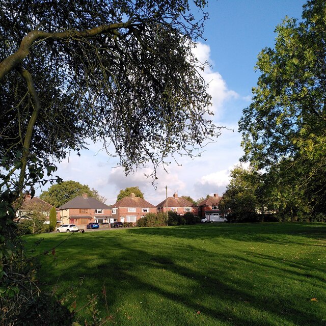
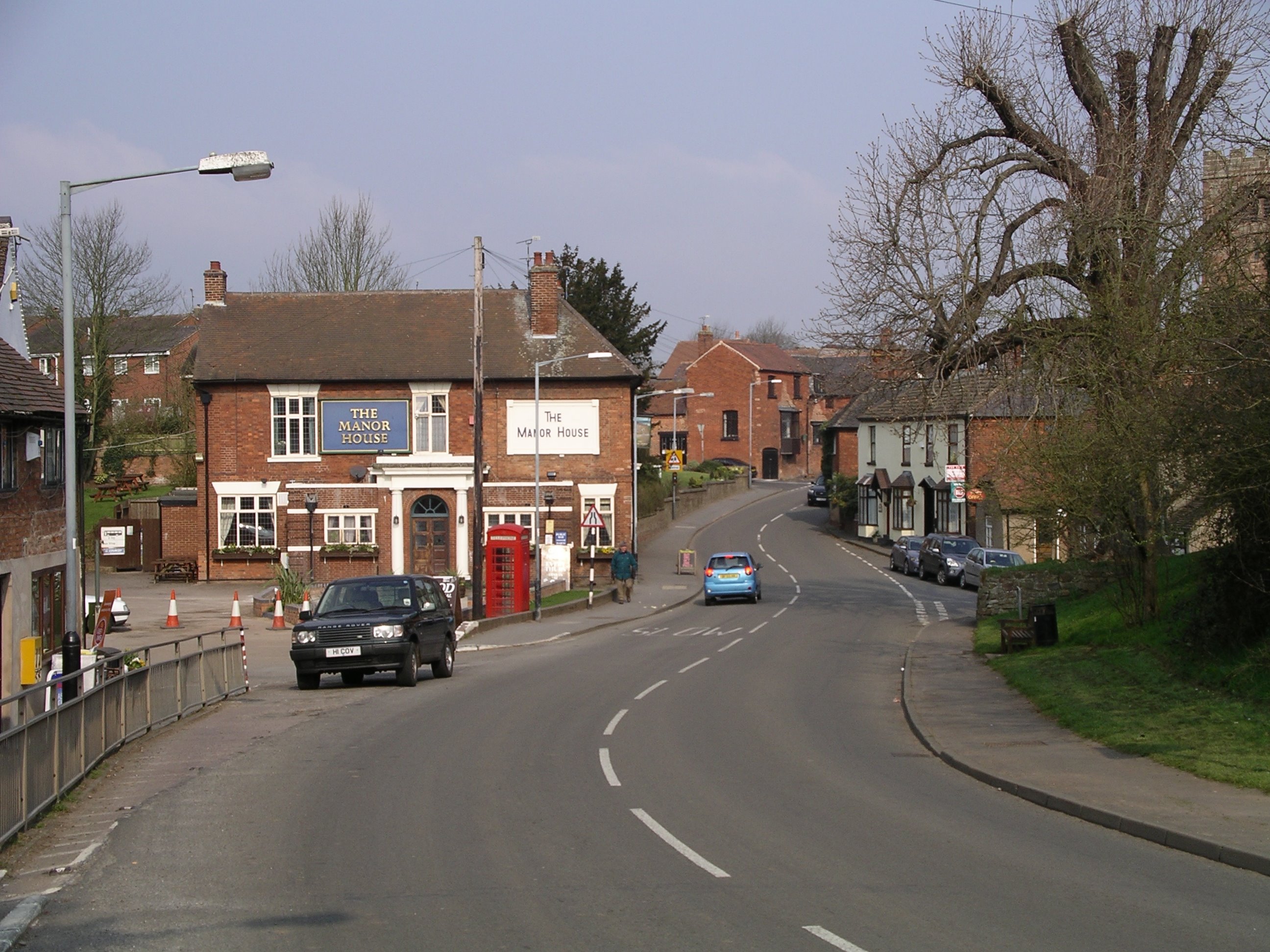
Wood End is a small village located in the county of Warwickshire, England. Situated approximately 6 miles southwest of the town of Atherstone, it is surrounded by picturesque countryside and boasts a tranquil and rural atmosphere. The village is part of the larger civil parish of Baddesley Ensor, and its name derives from the dense woodland that once covered the area.

Wood End is home to a close-knit community of around 800 residents, who benefit from the village's peaceful surroundings and friendly atmosphere. The village offers a range of amenities, including a primary school, a village hall, and a local pub. Additionally, there are several small businesses and farms that contribute to the local economy.

The village is well-connected by road, with the A5 and M42 motorway providing easy access to nearby towns and cities. It is also a popular destination for outdoor enthusiasts, thanks to its proximity to the extensive woodlands and nature reserves of Warwickshire. The surrounding countryside offers opportunities for walking, cycling, and exploring the natural beauty of the area.

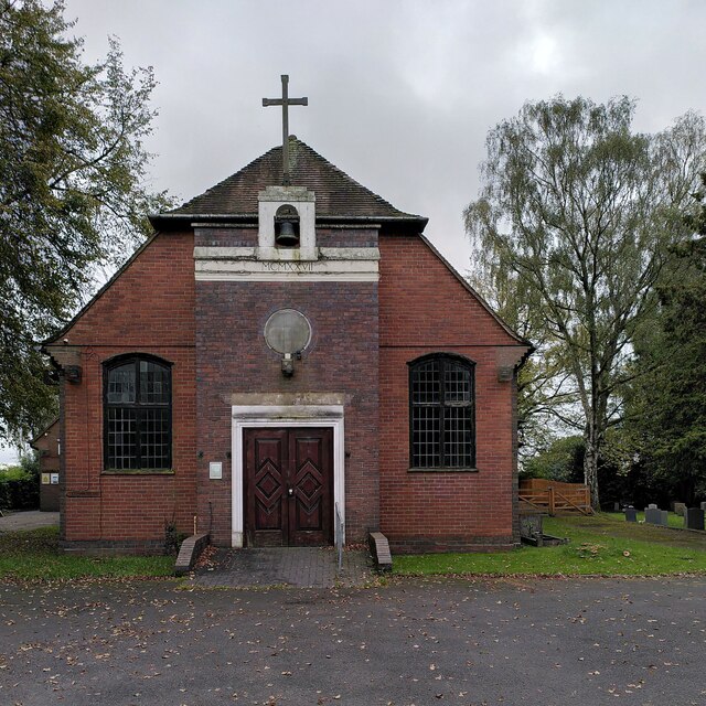
Wood End is also known for its rich history, with evidence of human settlement dating back to the Bronze Age. The village has several historical buildings, including St. Peter's Church, which dates back to the 12th century and showcases beautiful architecture.

Overall, Wood End is a charming and idyllic village that offers a peaceful and close-knit community, stunning natural surroundings, and a rich historical heritage.

If you have any feedback on the listing, please let us know in the comments section below.
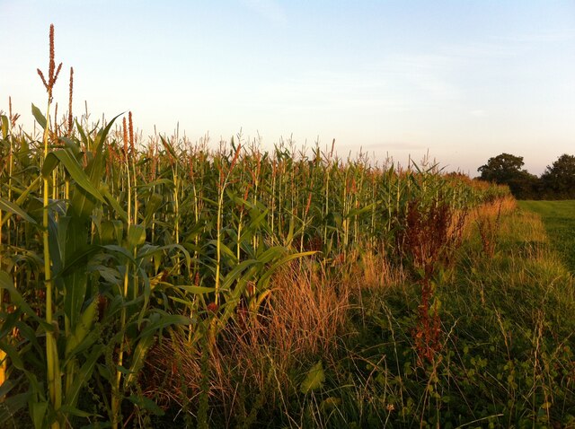
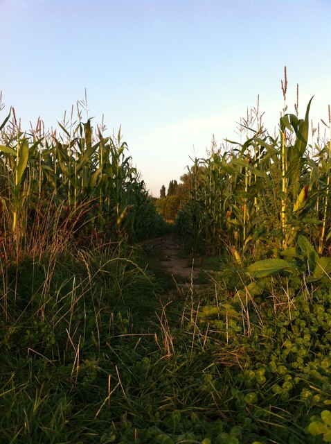
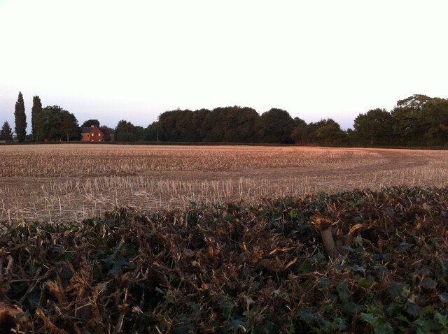
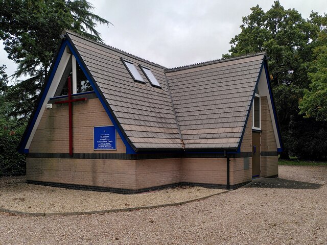
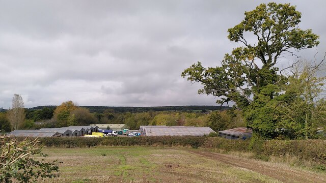
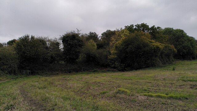
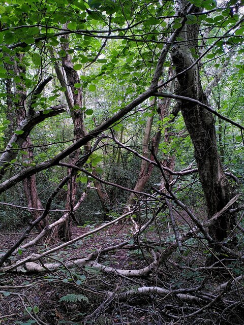
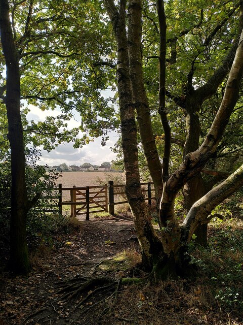
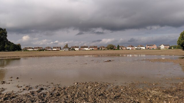
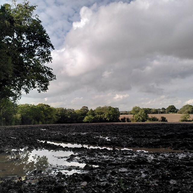
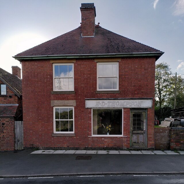
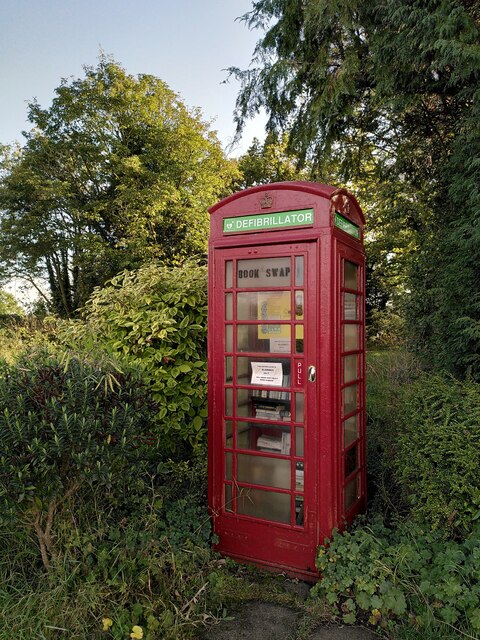
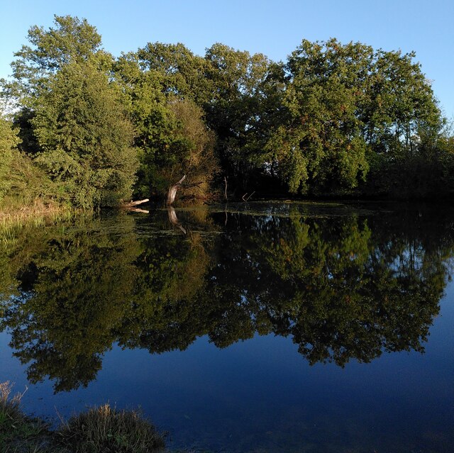
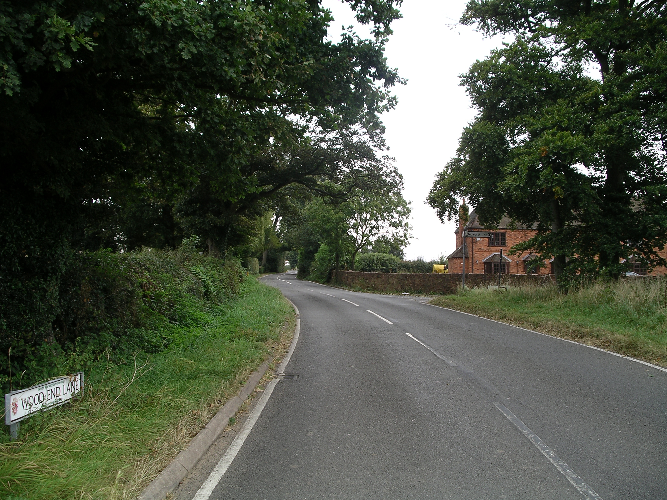
Wood End Images

Images are sourced within 2km of 52.490053/-1.5705763 or Grid Reference SP2988. Thanks to Geograph Open Source API. All images are credited.

Into the woods by Red Hill Farm The footpath, which is part of the Coventry Way, enters the wood through this arch of foliage. There is a small bench to the right, offering a view across a meadow. The wood appears to be of recent origin; it is not marked on OS maps as late as the 1950s.
Into the woods by Red Hill Farm
The footpath, which is part of the Coventry Way, enters the wood through this arch of foliage. There is a small bench to the right, offering a view across a meadow. The wood appears to be of recent origin; it is not marked on OS maps as late as the 1950s.
Border of a field of maize, Corley Ash The photo is taken from a footpath, part of the Coventry Way, that runs from Coventry Road at Red Hill to Square Lane by the fishpond. The path continues through the maize.
Border of a field of maize, Corley Ash
The photo is taken from a footpath, part of the Coventry Way, that runs from Coventry Road at Red Hill to Square Lane by the fishpond. The path continues through the maize.
Path through the maize, Corley Ash Part of the Coventry Way, this is a well-beaten path through a crop of maize.
Path through the maize, Corley Ash
Part of the Coventry Way, this is a well-beaten path through a crop of maize.
Fishpond, Square Lane, Corley Ash This rectangular fishpond with a small island in the middle is surrounded by trees. The land is marked as private, but the pond is passed on one side by a public footpath which is part of the Coventry Way. The Breach Brook flows along the other side but not through the pond itself, which seems to be of recent date, as it is not marked on OS maps as late as the 1950s-60s.
Fishpond, Square Lane, Corley Ash
This rectangular fishpond with a small island in the middle is surrounded by trees. The land is marked as private, but the pond is passed on one side by a public footpath which is part of the Coventry Way. The Breach Brook flows along the other side but not through the pond itself, which seems to be of recent date, as it is not marked on OS maps as late as the 1950s-60s.
High House Farm seen from Astley Lane, Fillongley The farm is seen here at sunset across a field of stubble and a severely-trimmed hedge mostly of holly.
High House Farm seen from Astley Lane, Fillongley
The farm is seen here at sunset across a field of stubble and a severely-trimmed hedge mostly of holly.
St Michael's Church, New Arley The Arley Colliery Company began mining coal locally in 1905. In the 1920s it built a company village of six hundred houses, called New Arley, and, in 1928, a company church to serve it, the Church of England parish church of St Michael. The style could perhaps be called colliers' baroque. See the Victoria County History of Warwickshire, Vol. 6 pp8-12, which doesn't give the name of the architect <span class="nowrap"><a title="https://www.british-history.ac.uk/vch/warks/vol6/pp8-12" rel="nofollow ugc noopener" href="https://www.british-history.ac.uk/vch/warks/vol6/pp8-12">Link</a><img style="margin-left:2px;" alt="External link" title="External link - shift click to open in new window" src="https://s1.geograph.org.uk/img/external.png" width="10" height="10"/></span> .
St Michael's Church, New Arley
The Arley Colliery Company began mining coal locally in 1905. In the 1920s it built a company village of six hundred houses, called New Arley, and, in 1928, a company church to serve it, the Church of England parish church of St Michael. The style could perhaps be called colliers' baroque. See the Victoria County History of Warwickshire, Vol. 6 pp8-12, which doesn't give the name of the architect LinkExternal link .
Catholic church of St Joseph, New Arley The church stands at the western end of the former mining village, an area known as Gun Hill or Spring Hill. It was built in 1996 to designs by John D Holmes. It replaced a nearby timber church of the 1920s. See the Taking Stock site, which describes the new church as 'flexible in character and modest in architectural aspiration.' <span class="nowrap"><a title="https://taking-stock.org.uk/building/arley-st-joseph/" rel="nofollow ugc noopener" href="https://taking-stock.org.uk/building/arley-st-joseph/">Link</a><img style="margin-left:2px;" alt="External link" title="External link - shift click to open in new window" src="https://s1.geograph.org.uk/img/external.png" width="10" height="10"/></span>
Catholic church of St Joseph, New Arley
The church stands at the western end of the former mining village, an area known as Gun Hill or Spring Hill. It was built in 1996 to designs by John D Holmes. It replaced a nearby timber church of the 1920s. See the Taking Stock site, which describes the new church as 'flexible in character and modest in architectural aspiration.' LinkExternal link
Arley industrial estate and Arley Wood The industrial units are viewed from the path from Spring Hill to Daffern's Wood; they occupy the site of Arley Colliery, which closed in 1968. Arley Wood blankets the horizon. This ancient woodland was replanted with conifers in the 1960s, apparently to provide pit props for the mine; see <a href="https://www.geograph.org.uk/photo/7630660">SP2891 : A young oak tree among the conifers, Arley Wood</a>.
Arley industrial estate and Arley Wood
The industrial units are viewed from the path from Spring Hill to Daffern's Wood; they occupy the site of Arley Colliery, which closed in 1968. Arley Wood blankets the horizon. This ancient woodland was replanted with conifers in the 1960s, apparently to provide pit props for the mine; see SP2891 : A young oak tree among the conifers, Arley Wood.
Daffern's Wood, New Arley Situated on the western edge of New Arley, Daffern's Wood is roughly triangular in shape and about three hectares in extent. According to the Warwickshire Wildlife Trust it is an ancient semi-natural wood which has been documented back to around 1600. It is a Local Nature Reserve. <span class="nowrap"><a title="https://www.warwickshirewildlifetrust.org.uk/DaffernsWood" rel="nofollow ugc noopener" href="https://www.warwickshirewildlifetrust.org.uk/DaffernsWood">Link</a><img style="margin-left:2px;" alt="External link" title="External link - shift click to open in new window" src="https://s1.geograph.org.uk/img/external.png" width="10" height="10"/></span>. A public footpath passes below the wood, which can be entered from the stile visible at the left of the picture.
Daffern's Wood, New Arley
Situated on the western edge of New Arley, Daffern's Wood is roughly triangular in shape and about three hectares in extent. According to the Warwickshire Wildlife Trust it is an ancient semi-natural wood which has been documented back to around 1600. It is a Local Nature Reserve. LinkExternal link. A public footpath passes below the wood, which can be entered from the stile visible at the left of the picture.
Birch and hazel in Daffern's Wood For more information on this Local Nature Reserve see <a href="https://www.geograph.org.uk/photo/7635597">SP2889 : Daffern's Wood, New Arley</a>.
Birch and hazel in Daffern's Wood
For more information on this Local Nature Reserve see SP2889 : Daffern's Wood, New Arley.
New Arley seen from Gorsy Spinney From the birch trees of the spinney a footpath runs southwards to Wood End, following the edges of fields and passing the eastern tip of New Arley village.
New Arley seen from Gorsy Spinney
From the birch trees of the spinney a footpath runs southwards to Wood End, following the edges of fields and passing the eastern tip of New Arley village.
New Arley reflections The path from New Arley to Wood End runs along the edge of a large field, which was very wet after heavy autumn rain.
New Arley reflections
The path from New Arley to Wood End runs along the edge of a large field, which was very wet after heavy autumn rain.
Lost in a muddy field, Wood End Well, I knew where I was on the map, but had lost the footpath. North Warwickshire has some good walking country, but signposting is often poor. The path had crossed a ditch and a field boundary without warning.
Lost in a muddy field, Wood End
Well, I knew where I was on the map, but had lost the footpath. North Warwickshire has some good walking country, but signposting is often poor. The path had crossed a ditch and a field boundary without warning.
Field path, Wood End At last, a signpost, though the sign itself was broken and faded.
Field path, Wood End
At last, a signpost, though the sign itself was broken and faded.
E D Thompson, Wood End Lane A former village store awaits a new use - probably housing, like the converted chapel nearby.
E D Thompson, Wood End Lane
A former village store awaits a new use - probably housing, like the converted chapel nearby.
A crescent of semis, Sandy Lane, Fillongley It looks odd on the map and even odder when you visit: a suburban crescent of semi-detached houses, complete with green, built on a country lane, far from any town or its suburbs. The plain style of the semis suggests they were built as council housing. The western part of the green, to the left of this photo, has been enclosed to form some rather messy gardens. Fillongley is a parish of scattered settlements, typical of the 'ancient countryside' of Arden; Sandy Lane runs between the settlement grouped around Fillongley parish church and the hamlet of Wood End, to the east.
A crescent of semis, Sandy Lane, Fillongley
It looks odd on the map and even odder when you visit: a suburban crescent of semi-detached houses, complete with green, built on a country lane, far from any town or its suburbs. The plain style of the semis suggests they were built as council housing. The western part of the green, to the left of this photo, has been enclosed to form some rather messy gardens. Fillongley is a parish of scattered settlements, typical of the 'ancient countryside' of Arden; Sandy Lane runs between the settlement grouped around Fillongley parish church and the hamlet of Wood End, to the east.
Former telephone box, Sandy Lane, Fillongley Though still marked as a rural telephone box by the Ordnance Survey, it now houses a defibrillator and a book swap.
Former telephone box, Sandy Lane, Fillongley
Though still marked as a rural telephone box by the Ordnance Survey, it now houses a defibrillator and a book swap.
Pond at Red Hill, Fillongley This is one of a pair of ponds by the Coventry Way in Fillongley parish.
Pond at Red Hill, Fillongley
This is one of a pair of ponds by the Coventry Way in Fillongley parish.
Show me another place!

Wood End is located at Grid Ref: SP2988 (Lat: 52.490053, Lng: -1.5705763)

Administrative County: Warwickshire

District: North Warwickshire

Police Authority: Warwickshire

What 3 Words

///spray.weep.shine. Near Keresley, West Midlands

Nearby Locations

Wood End

Related Wikis

Wood End, Fillongley

Wood End, is a small village in Warwickshire, England. It is situated north of Coventry. The village is part of the civil parish of Fillongley. There is...

Fillongley

Fillongley, listed as Fillungeleye in 1135, is a village and civil parish in the North Warwickshire district of Warwickshire in England. The village is...

Fillongley Castle

Fillongley Castle was a motte and bailey castle and later a fortified manor house in Fillongley in Warwickshire, England. Today, only earthworks and partial...

Arley and Fillongley railway station

Arley and Fillongley railway station was a station on the Midland Railway, which operated in the Midland county of Warwickshire, in England. == History... ==

Nearby Amenities

Located within 500m of 52.490053,-1.5705763
Weavers
Naptan AtcoCode: 4200F124570
Naptan Bearing: NE
Naptan BusStopType: CUS
Naptan CommonName: Weavers
Naptan Indicator: Opp
Naptan Landmark: Weavers
Naptan NaptanCode: warawjgw
Naptan Street: Nuneaton Road
Naptan Verified: no
Source: naptan_import
Lat/Long: 52.4878039/-1.5729511
Weavers
Naptan AtcoCode: 4200F124571
Naptan Bearing: SW
Naptan BusStopType: CUS
Naptan CommonName: Weavers
Naptan Indicator: Adj
Naptan Landmark: Weavers
Naptan NaptanCode: warawjma
Naptan Street: Nuneaton Road
Naptan Verified: no
Source: naptan_import
Lat/Long: 52.4876351/-1.5729436
Crossroads
Naptan AtcoCode: 4200F149011
Naptan Bearing: N
Naptan BusStopType: CUS
Naptan CommonName: Crossroads
Naptan Indicator: Adj
Naptan NaptanCode: wardjdmd
Naptan Street: Lamp Lane
Naptan Verified: no
Source: naptan_import
Lat/Long: 52.4903956/-1.5706045
Crossroads
Naptan AtcoCode: 4200F149012
Naptan Bearing: S
Naptan BusStopType: CUS
Naptan CommonName: Crossroads
Naptan Indicator: Adj
Naptan NaptanCode: wardjdmg
Naptan Street: Lamp Lane
Naptan Verified: no
Source: naptan_import
Lat/Long: 52.4904488/-1.5703831
Power: tower
Source: OS 1:25k
Lat/Long: 52.4895895/-1.5691789
Barrier: kissing_gate
Lat/Long: 52.4877457/-1.5723646
Barrier: kissing_gate
Lat/Long: 52.4858184/-1.5699479
Barrier: kissing_gate
Lat/Long: 52.4867147/-1.5688139
Power: tower
Lat/Long: 52.4902447/-1.5740423
Power: tower
Lat/Long: 52.4883044/-1.5658513
Wood End
Place: village
Wikidata: Q8032187
Wikipedia: en:Wood End, Fillongley
Lat/Long: 52.488822/-1.5713658
The data included in this document is from www.openstreetmap.org. The data is made available under ODbL.

Have you been to Wood End?

Leave your review of Wood End below (or comments, questions and feedback).