Gilbertstone
Settlement in Warwickshire
England
Gilbertstone
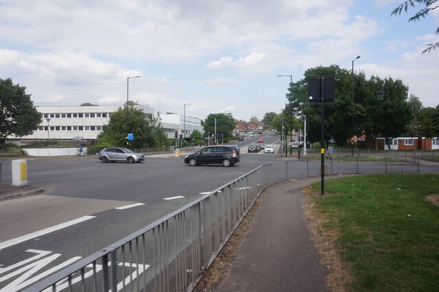
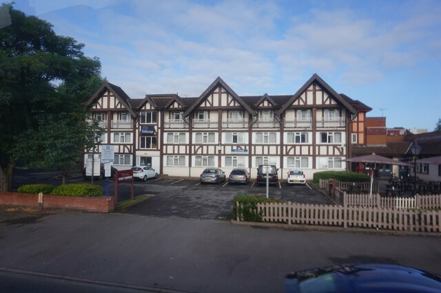
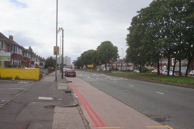
Gilbertstone is a small village located in the county of Warwickshire, England. Situated approximately 5 miles southeast of Birmingham city center, it falls within the Metropolitan Borough of Solihull. The village is bordered by the A45 Coventry Road to the north, which provides convenient access to the nearby urban areas.
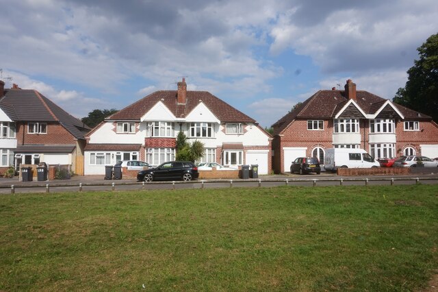
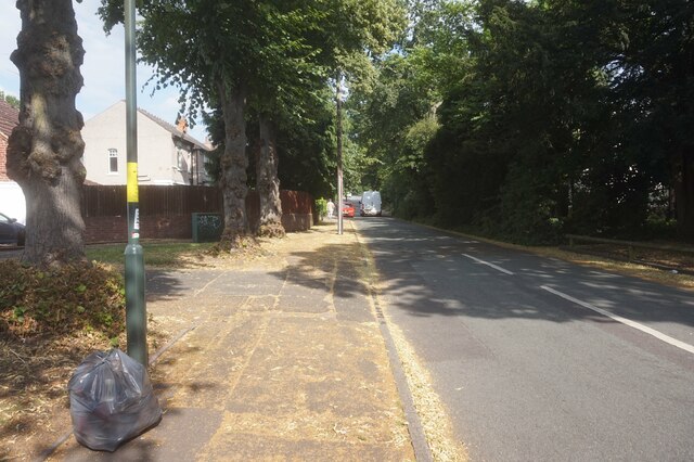
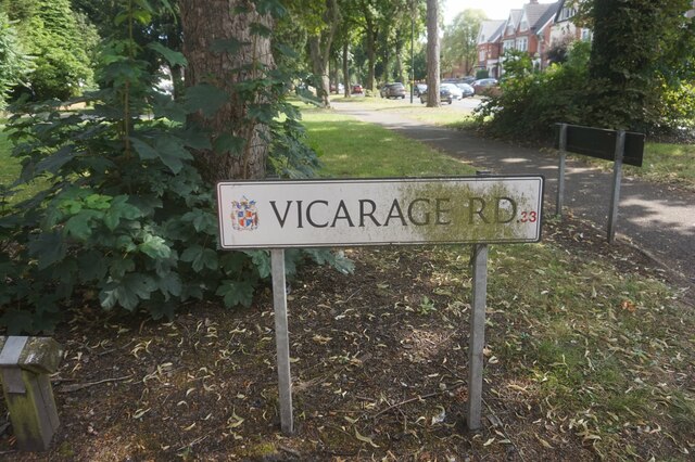
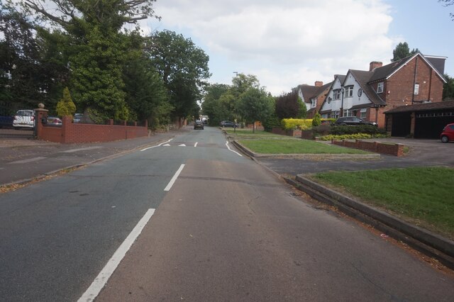
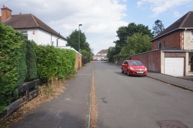
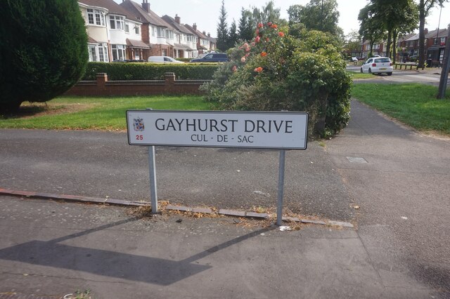
With a population of around 2,000 residents, Gilbertstone retains a close-knit community atmosphere. The village is predominantly residential, characterized by a mix of housing styles including detached and semi-detached properties. The streets are lined with well-maintained houses, many of which boast attractive gardens.
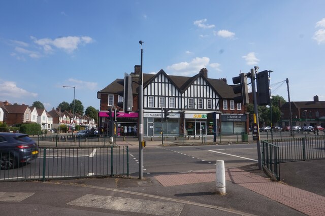
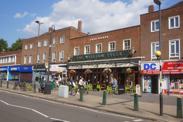
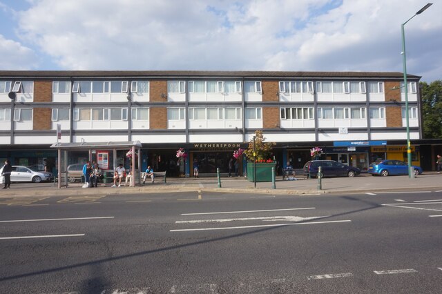
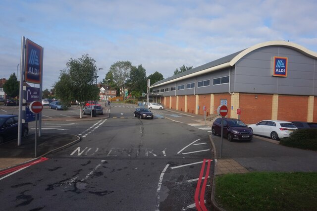
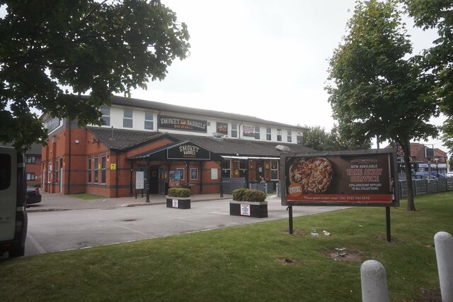
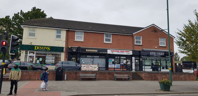
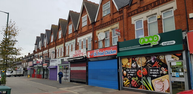
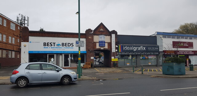
Gilbertstone benefits from its proximity to various amenities and services. The village is home to a primary school, providing education for local children, and several green spaces, including Gilbertstone Recreation Ground, which offers opportunities for outdoor activities and leisure. Additionally, there are a number of local shops, including convenience stores, and a few small businesses catering to the needs of the residents.
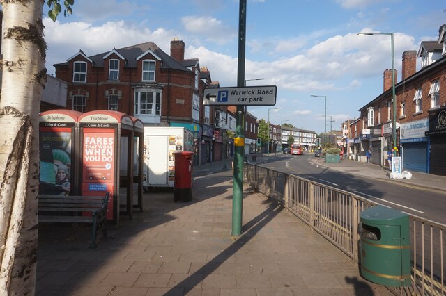
Transport links in Gilbertstone are well-developed, with regular bus services connecting the village to surrounding areas. The nearby A45 road provides easy access to Birmingham city center, as well as other major cities in the region. For those traveling by train, the nearest railway station is approximately 2 miles away in Yardley.
Overall, Gilbertstone offers a quiet and friendly environment for its residents, while still benefiting from the nearby urban amenities and transportation links.
If you have any feedback on the listing, please let us know in the comments section below.
Gilbertstone Images
Images are sourced within 2km of 52.460684/-1.803483 or Grid Reference SP1384. Thanks to Geograph Open Source API. All images are credited.
Gilbertstone is located at Grid Ref: SP1384 (Lat: 52.460684, Lng: -1.803483)
Unitary Authority: Birmingham
Police Authority: West Midlands
What 3 Words
///notion.tools.guard. Near Acocks Green, West Midlands
Nearby Locations
Related Wikis

Gilbertstone
Gilbertstone is a residential suburban area straddling the border of Yardley and South Yardley in Birmingham, West Midlands. == Etymology == It is unknown...
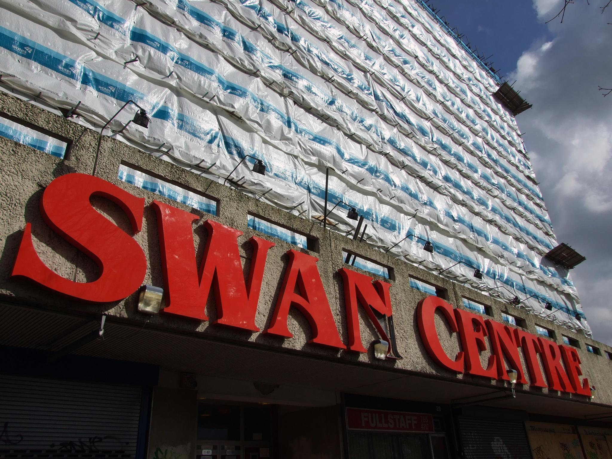
Swan Shopping Centre
The Swan Shopping Centre is an 80,000 square feet (7,400 m2) shopping centre in Yardley, Birmingham, which opened in Spring 2012.With its landmark high...
Hay Mills
Hay Mills is an area of east Birmingham, England straddling the A45 Coventry Road about 3 miles (5 km) south east of the city centre. North of the Coventry...

South Yardley
South Yardley is a largely residential area in east Birmingham, England about 3.5 miles (6 km) from the city centre, and one of the city's 69 electoral...
Nearby Amenities
Located within 500m of 52.460684,-1.803483Have you been to Gilbertstone?
Leave your review of Gilbertstone below (or comments, questions and feedback).