Gilchriston
Settlement in East Lothian
Scotland
Gilchriston
Gilchriston is a small village located in the county of East Lothian, Scotland. Situated approximately 10 miles southeast of the county town of Haddington, this rural settlement is surrounded by picturesque countryside and offers a peaceful and idyllic setting.
The village itself is characterized by a collection of traditional stone houses and cottages, giving it a charming and timeless atmosphere. The population of Gilchriston is relatively small, with a close-knit community that values its rural heritage and strong community spirit.
Gilchriston is well-positioned for those who enjoy outdoor activities. The surrounding countryside provides excellent opportunities for hiking, cycling, and horse riding, with numerous trails and paths to explore. Additionally, the nearby Lammermuir Hills offer breathtaking views and a haven for nature enthusiasts.
Although Gilchriston is a rural village, it benefits from its proximity to nearby towns and amenities. Haddington, the closest town, provides access to essential services such as shops, schools, and healthcare facilities. Edinburgh, the capital city of Scotland, is also within commuting distance, offering a wider range of amenities and employment opportunities.
Overall, Gilchriston offers a tranquil and scenic place to live, away from the hustle and bustle of city life. With its beautiful surroundings and strong sense of community, it is an ideal location for those seeking a peaceful and rural lifestyle in East Lothian.
If you have any feedback on the listing, please let us know in the comments section below.
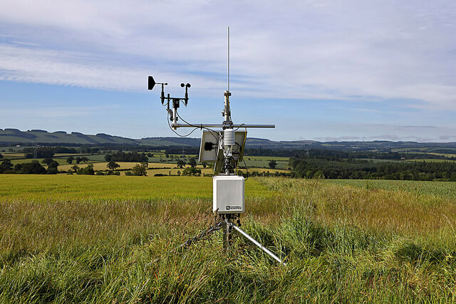
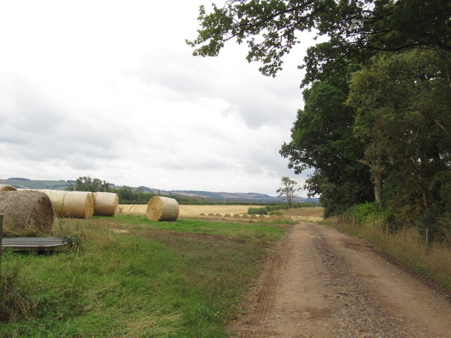
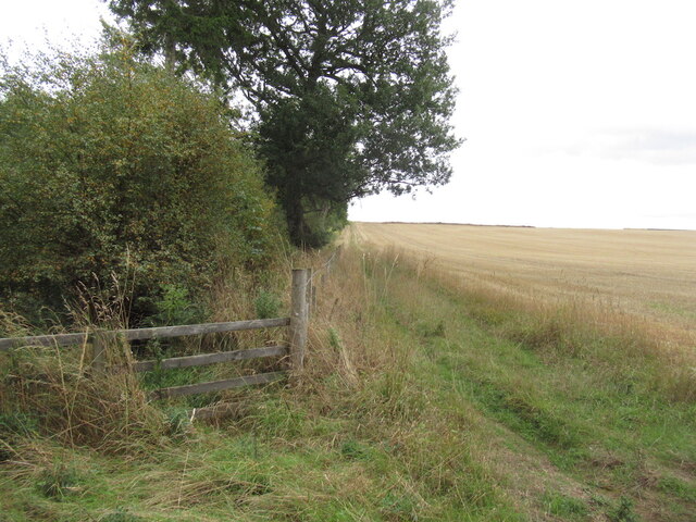
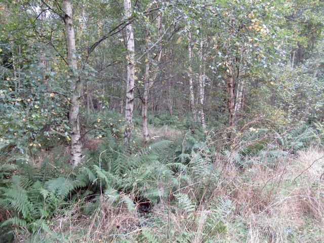
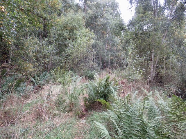
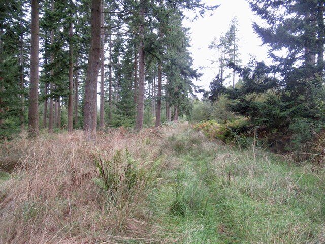
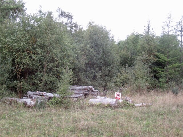
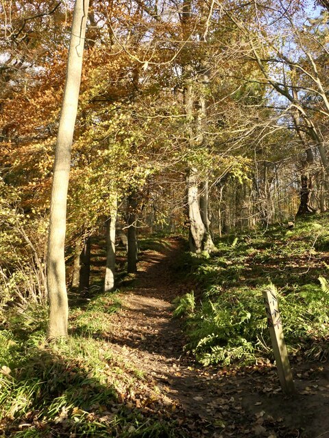
Gilchriston Images
Images are sourced within 2km of 55.875231/-2.8486297 or Grid Reference NT4765. Thanks to Geograph Open Source API. All images are credited.


Gilchriston is located at Grid Ref: NT4765 (Lat: 55.875231, Lng: -2.8486297)
Unitary Authority: East Lothian
Police Authority: The Lothians and Scottish Borders
What 3 Words
///relax.situates.drank. Near Pencaitland, East Lothian
Nearby Locations
Related Wikis

Humbie railway station
Humbie railway station served the civil parish of Humbie, East Lothian, Scotland, from 1901 to 1933 on the Macmerry Branch. == History == The station was...
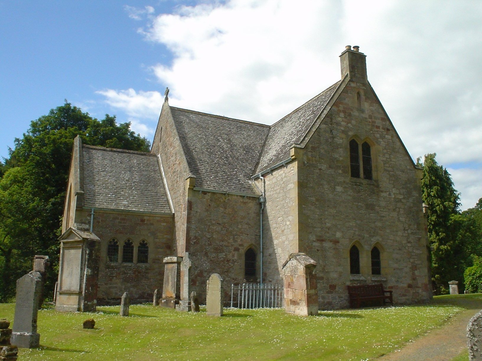
Humbie Parish Church
Humbie Parish Church is a church in the small village of Humbie, East Lothian, Scotland. It is part of the Church of Scotland, and is a linked charge which...
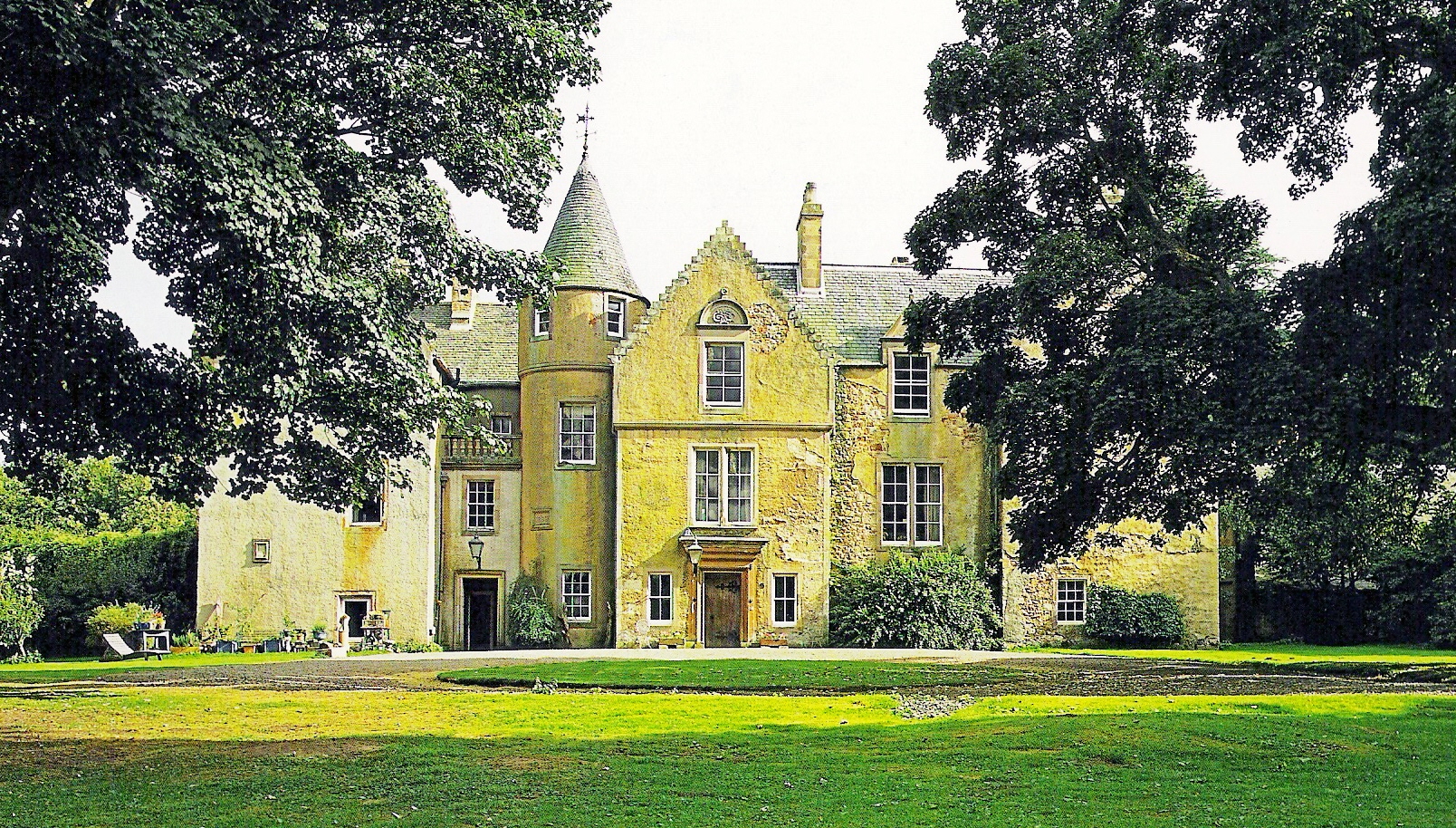
Keith Marischal
Keith Marischal is a Scottish Baronial Country house lying in the parish of Humbie, East Lothian, Scotland. The original building was an "L-shaped" Tower...

Saltoun railway station
Saltoun railway station served the villages of East Saltoun and West Saltoun in East Lothian, Scotland, from 1901 to 1933 on the Macmerry Branch. ��2...
Nearby Amenities
Located within 500m of 55.875231,-2.8486297Have you been to Gilchriston?
Leave your review of Gilchriston below (or comments, questions and feedback).