Gilbert's Coombe

Settlement in Cornwall

England

Gilbert's Coombe

Weighing Machine Redruth Station A redundant weighing machine at Redruth Station sits as it always has set into the platform.
Weighing Machine Redruth Station Credit: Tom Jolliffe

Gilbert's Coombe is a picturesque village located in Cornwall, England. Nestled in the heart of the county, it is renowned for its stunning natural beauty and rich historical significance. The village is situated near the coast, providing residents and visitors with breathtaking views of the Atlantic Ocean.

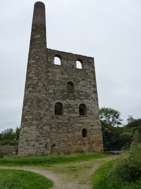
The most notable feature of Gilbert's Coombe is its charming architecture. The village is characterized by a collection of traditional cottages, many of which date back to the 18th and 19th centuries. These quaint stone houses are adorned with colorful flowers, creating a truly idyllic setting.

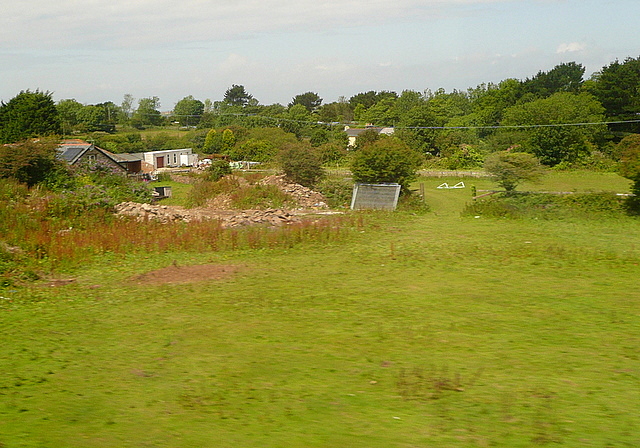
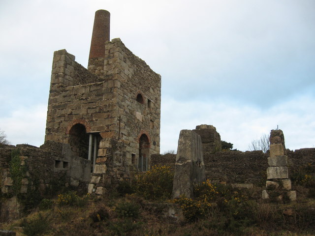
Surrounded by lush greenery, Gilbert's Coombe offers ample opportunities for outdoor exploration. The village is bordered by rolling hills and scenic countryside, making it a popular destination for hikers and nature enthusiasts. Additionally, the nearby coast provides access to beautiful sandy beaches, perfect for leisurely walks or picnics.

In terms of amenities, Gilbert's Coombe boasts a small but thriving community. The village is home to a handful of local businesses, including a cozy pub and a quaint tearoom. These establishments offer a warm and welcoming atmosphere, providing a gathering place for both residents and visitors.

Overall, Gilbert's Coombe is a charming and peaceful village that showcases the best of Cornwall's natural beauty and historical charm. With its stunning architecture, breathtaking scenery, and friendly community, it is truly a hidden gem within the county.

If you have any feedback on the listing, please let us know in the comments section below.

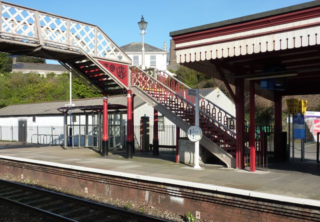
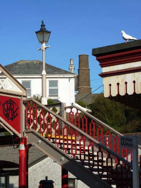
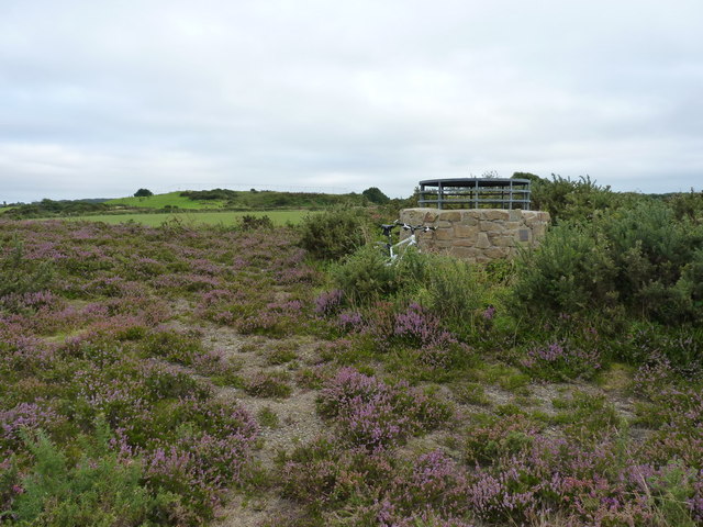
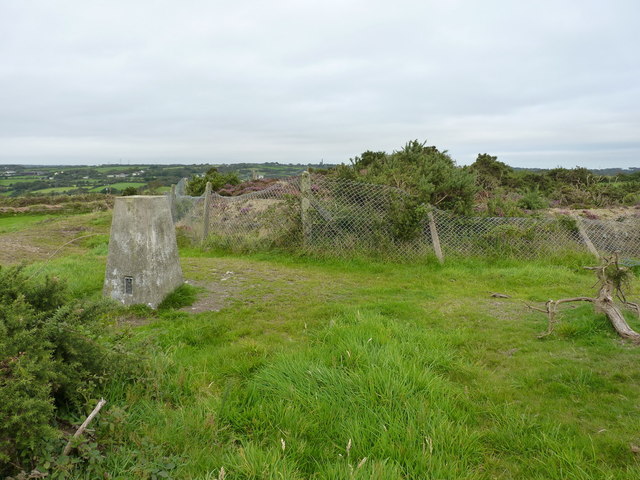
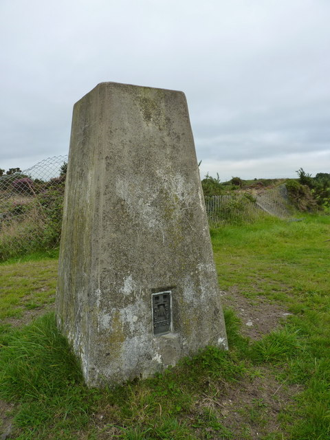
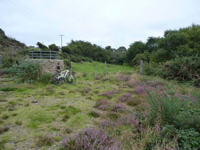
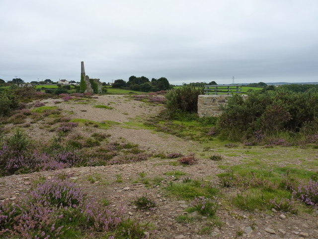
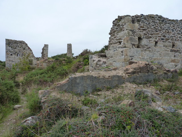
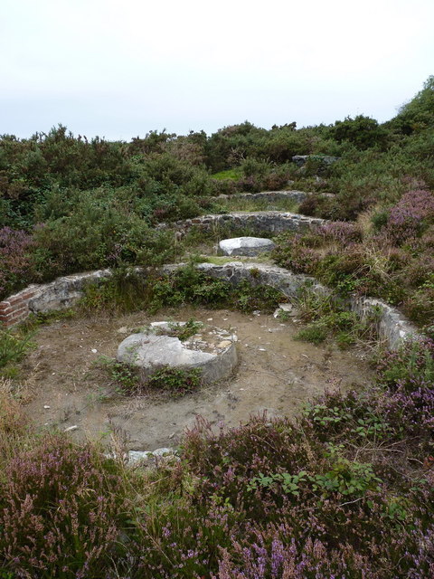
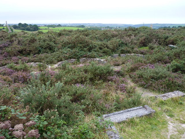
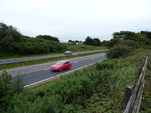
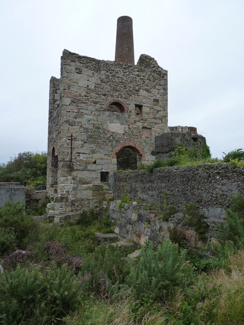
Gilbert's Coombe Images

Images are sourced within 2km of 50.247585/-5.238899 or Grid Reference SW6943. Thanks to Geograph Open Source API. All images are credited.

Weighing Machine Redruth Station A redundant weighing machine at Redruth Station sits as it always has set into the platform.
Weighing Machine Redruth Station
A redundant weighing machine at Redruth Station sits as it always has set into the platform.
Farm at Wheal Prussia On the eastern outskirts of Redruth is this smallholding near the former Wheal Prussia.
This photo was taken from the 1158 Penzance to London Paddington train, having left Redruth at 1231.
Farm at Wheal Prussia
On the eastern outskirts of Redruth is this smallholding near the former Wheal Prussia. This photo was taken from the 1158 Penzance to London Paddington train, having left Redruth at 1231.
Redruth Station and Footbridge
Stamps Engine House, Wheal Peevor
Redruth Railway Station Footbridge The footbridge at Redruth Station was significantly renovated two years ago. The work is holding up well and shows how such investment improves the environment.
Redruth Railway Station Footbridge
The footbridge at Redruth Station was significantly renovated two years ago. The work is holding up well and shows how such investment improves the environment.
Redruth Railway Station Footbridge The renovation of the footbridge two years ago greatly enhanced the appearance of the station. Were these the original colours of the Great Western Railway? Between the house in the background and the end of the canopy on the platform the Pednandrea Stack can be seen marking the industrial history of Redruth. Also see <a href="https://www.geograph.org.uk/photo/1904221">SW7041 : Basset Street and Pednandrea Stack, Redruth</a>
Redruth Railway Station Footbridge
The renovation of the footbridge two years ago greatly enhanced the appearance of the station. Were these the original colours of the Great Western Railway? Between the house in the background and the end of the canopy on the platform the Pednandrea Stack can be seen marking the industrial history of Redruth. Also see SW7041 : Basset Street and Pednandrea Stack, Redruth
Footbridge Redruth Railway Station The colours of the footbridge look a little too bright and cheerful to be true to the original railway company. The Great Western locomotives were painted green and the coaches were brown and cream. Wagons were painted red at one time. Pednandrea Stack can be seen in the background.
Footbridge Redruth Railway Station
The colours of the footbridge look a little too bright and cheerful to be true to the original railway company. The Great Western locomotives were painted green and the coaches were brown and cream. Wagons were painted red at one time. Pednandrea Stack can be seen in the background.
Capped shaft at Wheal Briggan The Western Whim shaft of the Wheal Briggan workings, capped off in 2005.
Capped shaft at Wheal Briggan
The Western Whim shaft of the Wheal Briggan workings, capped off in 2005.
The North Downs trig A trig point sporting flushbracket S7758, situated immediately adjacent to an infilled shaft south of the Wheal Plenty complex.
The North Downs trig
A trig point sporting flushbracket S7758, situated immediately adjacent to an infilled shaft south of the Wheal Plenty complex.
North Downs trig - closeup The pillar itself is in good condition, as is the flushbracket. Sadly, the 'man with the allen key' has long since helped himself to the brasswork from the top.
North Downs trig - closeup
The pillar itself is in good condition, as is the flushbracket. Sadly, the 'man with the allen key' has long since helped himself to the brasswork from the top.
Capped shaft at Wheal Peevor An unnamed adit shaft of the Wheal Peevor mine, capped by the council in 2005. By (the highly unscientific method of) dropping a stone down it, I deduced that it was too deep to want to fall down, so they did the right thing by capping it off.
Capped shaft at Wheal Peevor
An unnamed adit shaft of the Wheal Peevor mine, capped by the council in 2005. By (the highly unscientific method of) dropping a stone down it, I deduced that it was too deep to want to fall down, so they did the right thing by capping it off.
Capped shaft and chimney at Wheal Peevor
Wheal Peevor - the remains of the calciners Brunton Calciners were an important part of the tin mining and processing system, as they removed a variety of impurities (copper, arsenic, iron) from the concentrate before it was further processed and smelted. Most of this involved huge amounts of heat, and took place in these calciners.
Wheal Peevor - the remains of the calciners
Brunton Calciners were an important part of the tin mining and processing system, as they removed a variety of impurities (copper, arsenic, iron) from the concentrate before it was further processed and smelted. Most of this involved huge amounts of heat, and took place in these calciners.
Buddles at Wheal Peevor mine The remains of three tin 'buddles' in front of the Stamps Engine House; these were separated tin particles from lighter materials, with water as a part of the process.
Buddles at Wheal Peevor mine
The remains of three tin 'buddles' in front of the Stamps Engine House; these were separated tin particles from lighter materials, with water as a part of the process.
Wheal Peevor - 3 buddles from near the calciner ruins The remains of three tin 'buddles' which were used, in conjunction with water, as a mechanism for separating tin particles from rock and waste products, prior to further refining. For a closer view, see <a href="https://www.geograph.org.uk/photo/3190691">SW7044 : Buddles at Wheal Peevor mine</a>
Wheal Peevor - 3 buddles from near the calciner ruins
The remains of three tin 'buddles' which were used, in conjunction with water, as a mechanism for separating tin particles from rock and waste products, prior to further refining. For a closer view, see SW7044 : Buddles at Wheal Peevor mine
Traffic on the A30 The main A30 dual carriageway near Radnor. A fast road; no place to be cycling on a dull evening.
Traffic on the A30
The main A30 dual carriageway near Radnor. A fast road; no place to be cycling on a dull evening.
The stamps engine house The remains of the engine house that ran the tin stamps at Wheal Peevor; the stamps, as the name suggests, were essentially ore crushers, breaking relatively small lumps of ore into finer material (stamp sand) ready for processing in the nearby buddles <a href="https://www.geograph.org.uk/photo/3190691">SW7044 : Buddles at Wheal Peevor mine</a>.
It originally housed a 36" rotative beam engine, installed in 1876, but when the mine was re-activated in 1911, alterations were made; these included the installation of a gas-oil powered engine which ran more equipment, including a machine of 20 Californian stamps.
The stamps engine house
The remains of the engine house that ran the tin stamps at Wheal Peevor; the stamps, as the name suggests, were essentially ore crushers, breaking relatively small lumps of ore into finer material (stamp sand) ready for processing in the nearby buddles SW7044 : Buddles at Wheal Peevor mine. It originally housed a 36" rotative beam engine, installed in 1876, but when the mine was re-activated in 1911, alterations were made; these included the installation of a gas-oil powered engine which ran more equipment, including a machine of 20 Californian stamps.
Main engine house at Wheal Peevor From 1872, this building originally housed a 60" steam-powered pumping engine, which was replaced in 1911 by a 70" monster. It lifted water out of the main 'Sir Frederick's Shaft', a 660' hole, the capped opening of which is still visible immediately to the right of the right-hand wall.
Main engine house at Wheal Peevor
From 1872, this building originally housed a 60" steam-powered pumping engine, which was replaced in 1911 by a 70" monster. It lifted water out of the main 'Sir Frederick's Shaft', a 660' hole, the capped opening of which is still visible immediately to the right of the right-hand wall.
Show me another place!

Gilbert's Coombe is located at Grid Ref: SW6943 (Lat: 50.247585, Lng: -5.238899)

Unitary Authority: Cornwall

Police Authority: Devon and Cornwall

What 3 Words

///encroach.fish.sprains. Near Redruth, Cornwall

Related Wikis

Gilbert's Coombe

Gilbert's Coombe is a hamlet north of Redruth in west Cornwall, England. It falls within the Redruth North division on Cornwall Council. == References ==

Parc Erissey

Parc Erissey is a hamlet north of Redruth, Cornwall, England. == References ==

Tolgus Mount

Tolgus Mount (also Tolgus or Tolgoose) is a village, valley, and district in the parish of Redruth in Cornwall, England, United Kingdom. It is located...

Treleigh

Treleigh (Cornish: Trelegh) is a hamlet north of Redruth in Cornwall, England, United Kingdom.The ecclesiastical parish of Treleigh was taken out of the...

Highfields Private School

Highfields Private School was a fee paying coeducational independent day school in Redruth, England, catering for pupils aged 4 to 16 years. It closed...

Plain-an-Gwarry

Plain-an-Gwarry (Cornish: Plen an Gwari) is a hamlet in the west of Redruth, Cornwall, England, UK. The name derives from Cornish plen an gwari (meaning...

Kresen Kernow

Kresen Kernow (Cornish for Cornwall Centre) in Redruth, United Kingdom is Cornwall's archive centre, home to the world's biggest collection of archive...

Redruth School

Redruth School is a secondary school in Redruth, Cornwall, England, for pupils aged 11 to 16. It was formed in 1976 by the merger of Redruth Grammar School...

Nearby Amenities

Located within 500m of 50.247585,-5.238899
Bus Stop
Trenoweth Estate
Bench: no
Bin: no
Bus: yes
Covered: no
Description: On lamp post near lay-by used for parking with timetable board
Naptan AtcoCode: 0800COD41156
Naptan Bearing: SE
Naptan CommonName: Trenoweth Estate
Naptan NaptanCode: coramjwt
Naptan NptgLocalityCode: E0003310
Naptan PlusbusZoneRef: CBORNE
Naptan Street: Bassett Road
Passenger Information Display: no
Public Transport: platform
Shelter: no
Source: naptan_import;survey
Survey Date: 2020-10-28
Lat/Long: 50.249464/-5.2360657
Bus Stop
Trenoweth Estate
Bench: no
Bin: no
Bus: yes
Covered: no
Fixme: No signage or markings on road possiable location opposite marked stop heading SE, need to confirm location
Naptan AtcoCode: 0800COD41157
Naptan Bearing: NW
Naptan CommonName: Trenoweth Estate
Naptan NaptanCode: corampag
Naptan NptgLocalityCode: E0003310
Naptan PlusbusZoneRef: CBORNE
Naptan Street: Bassett Road
Naptan Verified: no
Passenger Information Display: no
Public Transport: platform
Shelter: no
Source: naptan_import
Lat/Long: 50.2493914/-5.2361343
Bus Stop
Top of Basset Road
Bus: yes
Fixme: No visable signage, need to confirm location, possible next to telephone pole
Naptan AtcoCode: 0800COD41158
Naptan Bearing: SE
Naptan CommonName: Top of Basset Road
Naptan NaptanCode: corampja
Naptan PlusbusZoneRef: CBORNE
Naptan Street: Bassett Road
Naptan Verified: no
Public Transport: platform
Source: naptan_import
Survey Date: 2020-10-28
Lat/Long: 50.2484173/-5.2336894
Bus Stop
Top of Basset Road
Bus: yes
Fixme: No visable signage, need to confirm location, possible next to humps road sign
Naptan AtcoCode: 0800COD41159
Naptan Bearing: NW
Naptan CommonName: Top of Basset Road
Naptan NaptanCode: corampgw
Naptan PlusbusZoneRef: CBORNE
Naptan Street: Bassett Road
Naptan Verified: no
Public Transport: platform
Source: naptan_import
Survey Date: 2020-10-28
Lat/Long: 50.2483666/-5.2337516
Bus Stop
Cornish Goldsmiths
Bench: no
Bin: no
Bus: yes
Description: No siange or markings on the ground, may use to Cornish Goldmiths car park
Fixme: Confirm location, is the lay-by and entrance used as a bus stop?
Naptan AtcoCode: 0800COD41177
Naptan Bearing: N
Naptan CommonName: Cornish Goldsmiths
Naptan NaptanCode: coramjpa
Naptan NptgLocalityCode: E0003388
Naptan PlusbusZoneRef: CBORNE
Naptan Street: New Portreath Road
Naptan Verified: no
Passenger Information Display: no
Public Transport: platform
Shelter: no
Source: naptan_import
Lat/Long: 50.2508888/-5.2409146
Bus Stop
Cornish Goldsmiths
Bench: no
Bin: no
Bus: yes
Description: No siange or markings on the ground, may use lay-by opposite Cornish Goldsmiths
Fixme: Confirm location, is the lay-by and entrance used as a bus stop?
Naptan AtcoCode: 0800COD41178
Naptan Bearing: S
Naptan CommonName: Cornish Goldsmiths
Naptan NaptanCode: coramjpd
Naptan NptgLocalityCode: E0003388
Naptan PlusbusZoneRef: CBORNE
Naptan Street: New Portreath Road
Naptan Verified: no
Passenger Information Display: no
Public Transport: platform
Shelter: no
Source: naptan_import
Lat/Long: 50.2510356/-5.2407797
Bus Stop
Corner Cottage
Bus: yes
Naptan AtcoCode: 0800COD41222
Naptan Bearing: N
Naptan CommonName: Corner Cottage
Naptan Crossing: Bassett Road
Naptan NaptanCode: corampjg
Naptan PlusbusZoneRef: CBORNE
Naptan Street: Unclassified
Naptan Verified: no
Public Transport: platform
Source: naptan_import
Lat/Long: 50.2481748/-5.233746
Bus Stop
Corner Cottage
Bus: yes
Naptan AtcoCode: 0800COD41223
Naptan Bearing: S
Naptan CommonName: Corner Cottage
Naptan Crossing: Bassett Road
Naptan Indicator: Opp
Naptan NaptanCode: corampjp
Naptan PlusbusZoneRef: CBORNE
Naptan Street: Unclassified
Naptan Verified: no
Public Transport: platform
Source: naptan_import
Lat/Long: 50.2480209/-5.2336427
Bus Stop
Trenoweth Estate
Bus: yes
Naptan AtcoCode: 0800COD41224
Naptan Bearing: SW
Naptan CommonName: Trenoweth Estate
Naptan Crossing: Bassett Road
Naptan NaptanCode: coramjwj
Naptan PlusbusZoneRef: CBORNE
Naptan Street: Unclassified
Naptan Verified: no
Public Transport: platform
Source: naptan_import
Lat/Long: 50.2501429/-5.2364048
Place Of Worship
Colin Matthews
Building: chapel
Description: Chapel of Rest
Shop: funeral_directors
Lat/Long: 50.2490271/-5.2414597
Power: tower
Source: bing
Lat/Long: 50.2476058/-5.2345931
Power: tower
Source: bing
Lat/Long: 50.2450038/-5.2393756
Power: tower
Source: bing
Lat/Long: 50.2462417/-5.2371225
Trenoweth Estate
Place: locality
Source: OS_OpenData_StreetView
Lat/Long: 50.2495585/-5.2351147
Post Box
Brand: Royal Mail
Brand Wikidata: Q638098
Collection Times: Mo-Fr 09:00; Sa 07:00; Su off
Drive Through: no
Operator: Royal Mail
Operator Wikidata: Q638098
Post Box Mounting: wall
Post Box Type: wall
Ref: TR16 51D
Royal Cypher: EIIR
Royal Cypher Wikidata: Q33102113
Source: survey;gps;streetlevel imagery;aerial imagery
Lat/Long: 50.2483954/-5.2339499
Power: pole
Source: Bing; approxomate
Lat/Long: 50.2432516/-5.2394845
Power: pole
Source: Bing; approxomate
Lat/Long: 50.2435604/-5.238948
Power: pole
Source: Bing; approxomate
Lat/Long: 50.2438657/-5.2383901
Power: pole
Source: Bing; approxomate
Lat/Long: 50.2445381/-5.2370705
Power: pole
Source: Bing; approxomate
Lat/Long: 50.2450818/-5.236585
Power: pole
Source: Bing; approxomate
Lat/Long: 50.2457528/-5.2334284
Power: pole
Source: Bing; approxomate
Lat/Long: 50.2457594/-5.2359815
Power: pole
Source: Bing; approxomate
Lat/Long: 50.2465058/-5.2354132
Power: pole
Source: Bing; approxomate
Lat/Long: 50.2468814/-5.2339581
Power: pole
Source: Bing; approxomate
Lat/Long: 50.2475237/-5.2342492
Tolgus Vean House
Addr City: Redruth
Addr Postcode: TR15 3TQ
Addr Street: Old Portreath Road
Building: house
Lat/Long: 50.2449856/-5.2433038
Tolgus Vean
Addr City: Redruth
Addr Postcode: TR15 3TQ
Addr Street: Old Portreath Road
Building: house
Lat/Long: 50.244911/-5.2425799
Jasmine Cottage
Addr City: Redruth
Addr Postcode: TR15 3TQ
Addr Street: Old Portreath Road
Building: house
Lat/Long: 50.2445133/-5.2430199
North Country Filling Station
Building: yes
Landuse: commercial
Shop: convenience
Shop 1: newsagent
Lat/Long: 50.2464215/-5.2341659
Northcountry Garage
Shop: car_repair
Lat/Long: 50.2465878/-5.2341766
The Old Work Houses
Building: yes
Lat/Long: 50.2463769/-5.2331412
Barrier: entrance
Lat/Long: 50.2518495/-5.2369729
Barrier: entrance
Lat/Long: 50.2517448/-5.2379733
Barrier: entrance
Lat/Long: 50.2506691/-5.237978
Barrier: entrance
Lat/Long: 50.2498866/-5.2397932
Generator Method: photovoltaic
Generator Output Electricity: small_installation
Generator Source: solar
Generator Type: solar_photovoltaic_panel
Location: roof
Power: generator
Source: bing
Lat/Long: 50.2458199/-5.2401151
Generator Method: photovoltaic
Generator Output Electricity: small_installation
Generator Source: solar
Generator Type: solar_photovoltaic_panel
Location: roof
Power: generator
Source: bing
Lat/Long: 50.2456809/-5.2396967
Generator Method: photovoltaic
Generator Output Electricity: small_installation
Generator Source: solar
Generator Type: solar_photovoltaic_panel
Location: roof
Power: generator
Source: bing
Lat/Long: 50.2473456/-5.2402559
Generator Method: photovoltaic
Generator Output Electricity: small_installation
Generator Source: solar
Generator Type: solar_photovoltaic_panel
Location: roof
Power: generator
Source: bing
Lat/Long: 50.249824/-5.2329254
Information: board
Tourism: information
Lat/Long: 50.2492545/-5.2354105
Waste Basket
Source: survey;dashcam
Survey Date: 2020-10-28
Lat/Long: 50.2491353/-5.2352563
Waste Basket
Source: survey;dashcam
Survey Date: 2020-10-28
Lat/Long: 50.2485269/-5.2341612
Power: pole
Lat/Long: 50.2473018/-5.2327672
Power: pole
Lat/Long: 50.2472538/-5.2327833
Power: pole
Lat/Long: 50.2433044/-5.2395974
The data included in this document is from www.openstreetmap.org. The data is made available under ODbL.

Have you been to Gilbert's Coombe?

Leave your review of Gilbert's Coombe below (or comments, questions and feedback).