Gilbert Street
Settlement in Hampshire East Hampshire
England
Gilbert Street

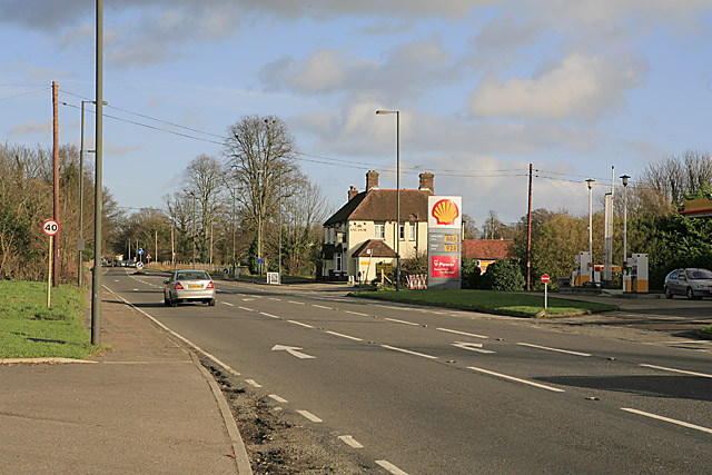
Gilbert Street is a quaint and charming residential street located in Hampshire, a county in southern England. Situated in a peaceful and picturesque neighborhood, the street exudes a sense of tranquility and community.
Lined with well-maintained houses, Gilbert Street offers a variety of architectural styles, ranging from traditional English cottages to modern townhouses. The properties are typically adorned with colorful gardens and neatly trimmed hedges, adding to the overall visual appeal of the street.
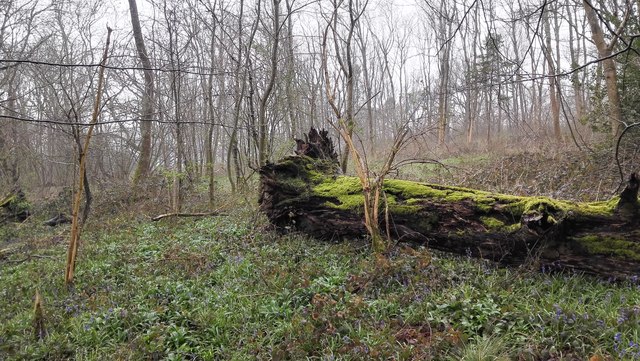
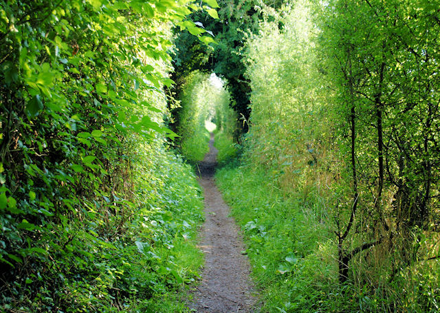
The area surrounding Gilbert Street is known for its lush green spaces, making it an ideal location for nature enthusiasts. Residents can easily access nearby parks and recreational areas, providing ample opportunities for outdoor activities such as jogging, cycling, or leisurely strolls.
Convenience is another key aspect of Gilbert Street. Within a short distance, residents have access to a range of amenities including schools, shops, and healthcare facilities. The street is located in close proximity to a bustling town center, offering a vibrant shopping district with a wide selection of stores, restaurants, and entertainment options.
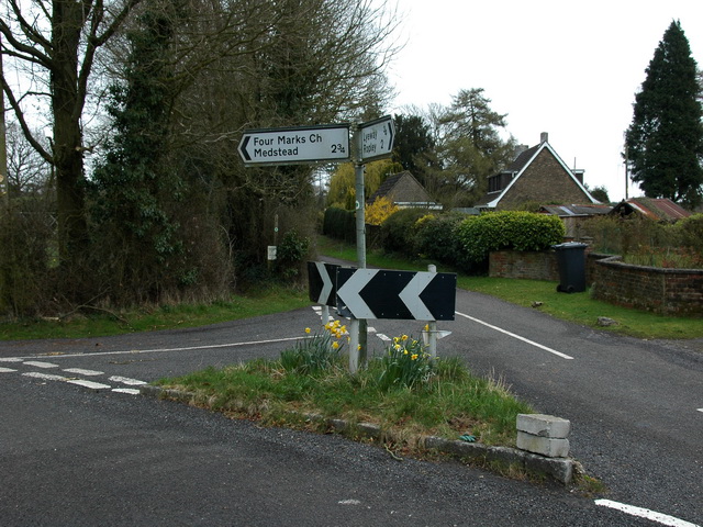
Transportation links are also excellent in this area. Gilbert Street benefits from good road connections, making it easily accessible by car. Additionally, there are reliable public transportation services, such as buses and trains, available nearby, ensuring convenient access to surrounding towns and cities.
Overall, Gilbert Street in Hampshire offers a peaceful and picturesque living environment, with a strong sense of community and convenient access to essential amenities and natural beauty.
If you have any feedback on the listing, please let us know in the comments section below.
Gilbert Street Images
Images are sourced within 2km of 51.088226/-1.069024 or Grid Reference SU6532. Thanks to Geograph Open Source API. All images are credited.


Gilbert Street is located at Grid Ref: SU6532 (Lat: 51.088226, Lng: -1.069024)
Administrative County: Hampshire
District: East Hampshire
Police Authority: Hampshire
What 3 Words
///huddled.paddle.branched. Near Four Marks, Hampshire
Nearby Locations
Related Wikis

Ropley
Ropley is a village and large civil parish in the East Hampshire district of Hampshire, England. It has an acreage of 4,684 acres (1,896 ha), situated...

North Street, Hampshire
North Street is a hamlet in the parish of Ropley in Hampshire, England. The hamlet lies on the A31 road from Alton to Winchester. == Etymology == North...
St Swithun's Way
St Swithun's Way is a 34-mile (55 km) long-distance footpath in England from Winchester Cathedral, Hampshire to Farnham, Surrey. It is named after Swithun...
Kitwood
Kitwood is a hamlet in the parish of Four Marks, Hampshire, England. It is in the south east of the Parish and has been part of Four Marks since its creation...

Monkwood
Monkwood is a Hamlet in the south of Ropley parish. Although currently it is spread between Petersfield Road and Hill Farm Road, historically it referred...
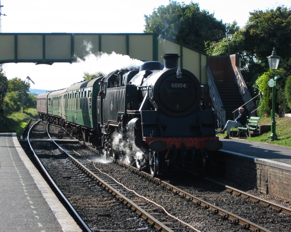
Ropley railway station
Ropley railway station is a railway station in Ropley, Hampshire, England, which opened in 1865 and reopened in 1977 after four years' closure, to be served...
Ropley Dean
Ropley Dean is a village in the East Hampshire district of Hampshire, England. It is 7.3 miles (11.7 km) southwest of Alton. The village has its own restored...
Charlwood, Hampshire
Charlwood is a small hamlet in the East Hampshire district of Hampshire, England. It is in the large civil parish of Ropley and partially in East Tisted...
Nearby Amenities
Located within 500m of 51.088226,-1.069024Have you been to Gilbert Street?
Leave your review of Gilbert Street below (or comments, questions and feedback).