Loch Àird

Lake, Pool, Pond, Freshwater Marsh in Ross-shire

Scotland

Loch Àird

Postbox at Crulivig HS2 91. Royal Mail list this box as 'Crulivig'.
Postbox at Crulivig Credit: David Bremner

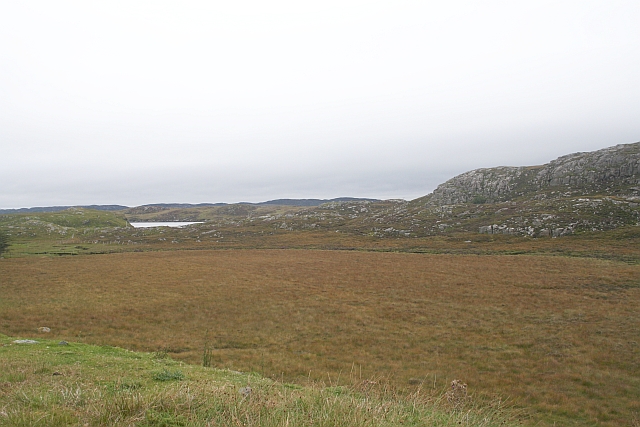
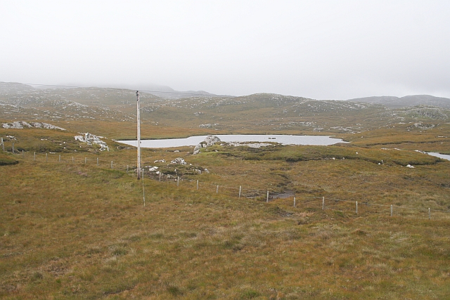
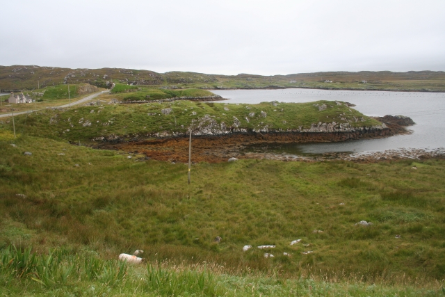
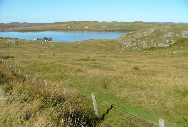
Loch Àird is a picturesque freshwater loch located in Ross-shire, Scotland. Nestled amidst the breathtaking Scottish Highlands, this enchanting water body covers an area of approximately 50 acres. Surrounded by lush greenery and rolling hills, Loch Àird offers a serene and tranquil environment for visitors to enjoy.

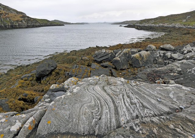
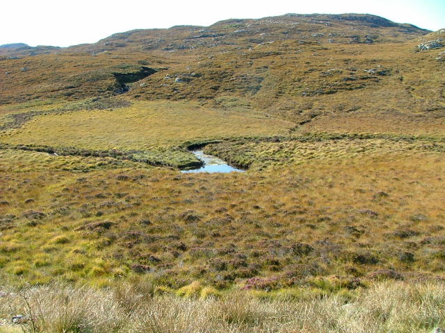
The loch is fed by several small streams that flow from the surrounding hills, resulting in crystal clear waters. Its depth varies, with some areas reaching up to 20 feet. The shoreline is lined with dense vegetation, including reeds, rushes, and various aquatic plants, creating a haven for a diverse array of wildlife.

The surrounding area is a haven for birdwatchers, as Loch Àird provides a vital habitat for numerous bird species. Common sightings include herons, ducks, geese, and various songbirds. The loch’s marshy areas also attract a variety of waterfowl, such as swans and grebes.

The loch is a popular spot for fishing enthusiasts, with a healthy population of brown trout. Anglers can be seen casting their lines from the shoreline or from small boats, hoping to catch a prized trout.

Loch Àird is also a popular destination for outdoor enthusiasts, offering opportunities for hiking, picnicking, and photography. The surrounding landscape provides stunning panoramic views, making it an ideal spot for nature lovers and photography enthusiasts alike.

Overall, Loch Àird is a hidden gem in the Scottish Highlands, offering visitors a chance to immerse themselves in the natural beauty and tranquility of the region.

If you have any feedback on the listing, please let us know in the comments section below.
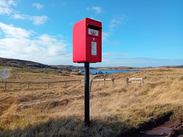
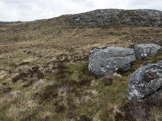
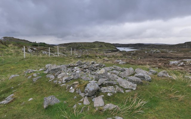
Loch Àird Images

Images are sourced within 2km of 58.190519/-6.8003785 or Grid Reference NB1832. Thanks to Geograph Open Source API. All images are credited.

Postbox at Crulivig HS2 91. Royal Mail list this box as 'Crulivig'.
Postbox at Crulivig
HS2 91. Royal Mail list this box as 'Crulivig'.
Telephone Box at Crulabhig Probably it's only the sheep that get calls here?
Telephone Box at Crulabhig
Probably it's only the sheep that get calls here?
Crulivig: the telephone box Pictured during heavy rain, this phone box has Hebridean doors, to keep the wind at bay.
Crulivig: the telephone box
Pictured during heavy rain, this phone box has Hebridean doors, to keep the wind at bay.
Crulivig: postbox № HS2 91 This postbox stands on the opposite side of the road to <a href="https://www.geograph.org.uk/photo/3286743">NB1733 : Crulivig: the telephone box</a>. It is emptied each morning except Sunday at a quarter to nine.
Crulivig: postbox № HS2 91
This postbox stands on the opposite side of the road to NB1733 : Crulivig: the telephone box. It is emptied each morning except Sunday at a quarter to nine.
Boggy and rocky Often in this type of country, getting up onto a bit of high ground reveals a lochan or just a little pool to add a bit of interest. Not here. The high ground is on the lower slopes of Beinn Sgarastaigh, but with a summit height of 98 m, and difficult navigation through peat hags, no one is likely to get excited about it.
Boggy and rocky
Often in this type of country, getting up onto a bit of high ground reveals a lochan or just a little pool to add a bit of interest. Not here. The high ground is on the lower slopes of Beinn Sgarastaigh, but with a summit height of 98 m, and difficult navigation through peat hags, no one is likely to get excited about it.
Abandoned croft house near Lundal
Low cloud over Great Bernera A thin bank of cloud over the sea. Looking northeast from the B8059 near Lundale.
Low cloud over Great Bernera
A thin bank of cloud over the sea. Looking northeast from the B8059 near Lundale.
Rough pasture near Lundale Looking east towards Callanish, across Loch Ròg.
Rough pasture near Lundale
Looking east towards Callanish, across Loch Ròg.
Beinn Scarastaigh from near Lundale A large rocky hill about 1km to the southeast,
Beinn Scarastaigh from near Lundale
A large rocky hill about 1km to the southeast,
Tòb Lundale, Isle of Lewis Tòb Lundale is an inlet on Loch Ròg.  Tòb is a Gaelic word for bay or cove.
Tòb Lundale, Isle of Lewis
Tòb Lundale is an inlet on Loch Ròg. Tòb is a Gaelic word for bay or cove.
Building remains, Lundal, Isle of Lewis Looking towards the head of Tòb Lundale, an inlet on Loch Ròg.
Building remains, Lundal, Isle of Lewis
Looking towards the head of Tòb Lundale, an inlet on Loch Ròg.
Phonebox on the road to Great Bernera
End of the road at Tobhtaral Two houses at the end of the road in the SE corner of Great Bernera island.
End of the road at Tobhtaral
Two houses at the end of the road in the SE corner of Great Bernera island.
Druim a Chruidh The flat peat bog hides the small Lundale river and several tributaries which flow into Tob Lundale.
Druim a Chruidh
The flat peat bog hides the small Lundale river and several tributaries which flow into Tob Lundale.
Loch Aird A small inland loch that drains into Loch na Faing.
Loch Aird
A small inland loch that drains into Loch na Faing.
Coast at Iarsiadar With Loch Barraglom and the island of Great Bernera beyond
Coast at Iarsiadar
With Loch Barraglom and the island of Great Bernera beyond
Lundale River Beneath Cleite na Cloich Ard.
Lundale River
Beneath Cleite na Cloich Ard.
Grazing Land by the Road to Bearnaraigh (Great Bernera) Looking towards Loch Barraglom and Bearnaraigh.
Grazing Land by the Road to Bearnaraigh (Great Bernera)
Looking towards Loch Barraglom and Bearnaraigh.
Show me another place!

Loch Àird is located at Grid Ref: NB1832 (Lat: 58.190519, Lng: -6.8003785)

Unitary Authority: Na h-Eileanan an Iar

Police Authority: Highlands and Islands

What 3 Words

///simulates.remedy.tablets. Near Carloway, Na h-Eileanan Siar

Related Wikis

Eilean Chearstaidh

Eilean Kearstay (Scottish Gaelic: Eilean Chearstaigh) is an uninhabited island in Loch Roag in the Outer Hebrides of Scotland. It lies south east of Great...

Callanish VIII

The Callanish VIII stone setting is one of many megalithic structures around the better-known (and larger) Calanais I on the west coast of the Isle of...

Ceabhaigh

Ceabhaigh is a small island in an arm of Loch Ròg on the west coast of Lewis in the Outer Hebrides of Scotland. It is about 25 hectares (62 acres) in extent...

Callanish Stones

The Callanish Stones (or "Callanish I": Scottish Gaelic: Clachan Chalanais or Tursachan Chalanais) are an arrangement of standing stones placed in a cruciform...

Nearby Amenities

Located within 500m of 58.190519,-6.8003785
Passing Place
Lat/Long: 58.1907069/-6.7920725
Passing Place
Lat/Long: 58.191848/-6.7924771
Power: pole
Lat/Long: 58.1910347/-6.7925544
Power: pole
Lat/Long: 58.1913161/-6.7947063
Power: pole
Lat/Long: 58.1914416/-6.7958036
Power: pole
Lat/Long: 58.1914781/-6.7964845
Power: pole
Lat/Long: 58.191516/-6.7979719
Power: pole
Lat/Long: 58.1915995/-6.7984956
Power: pole
Lat/Long: 58.191942/-6.8001051
Power: pole
Lat/Long: 58.1921863/-6.8012664
Power: pole
Lat/Long: 58.1924915/-6.8020281
Power: pole
Lat/Long: 58.1930069/-6.8031624
Power: pole
Lat/Long: 58.1935295/-6.8044654
Power: pole
Lat/Long: 58.1938229/-6.8051981
Power: pole
Lat/Long: 58.1934122/-6.7938612
Power: pole
Lat/Long: 58.1926858/-6.7941526
Power: pole
Lat/Long: 58.1919434/-6.7944908
Man Made: mast
Lat/Long: 58.1932936/-6.8020057
Barrier: cattle_grid
Lat/Long: 58.1906755/-6.7921707
Power: pole
Lat/Long: 58.1911734/-6.7935988
The data included in this document is from www.openstreetmap.org. The data is made available under ODbL.

Have you been to Loch Àird?

Leave your review of Loch Àird below (or comments, questions and feedback).