Lundal

Settlement in Ross-shire

Scotland

Lundal

Telephone Box at Crulabhig Probably it's only the sheep that get calls here?
Telephone Box at Crulabhig Credit: Jo and Steve Turner

Lundal is a small village located in Ross-shire, a county in the Highlands of Scotland. Situated amidst picturesque landscapes, Lundal is positioned on the eastern banks of the River Glass, which adds to the natural beauty of the area. The village is surrounded by rolling hills, lush green meadows, and dense forests, making it an ideal destination for nature enthusiasts.

Lundal is home to a close-knit community of approximately 200 residents. The village exudes a warm and welcoming atmosphere, with friendly locals who take pride in their heritage and traditions. The village is characterized by traditional Scottish architecture, with charming stone cottages and well-maintained gardens.

Despite its small size, Lundal offers a range of amenities to cater to the needs of its residents. The village boasts a well-equipped primary school, a community center, and a local shop providing essential goods. Additionally, Lundal has a quaint village hall, which serves as a hub for social gatherings and events throughout the year.

For those seeking outdoor activities, Lundal provides ample opportunities for exploration. The surrounding area is renowned for its scenic walking trails and hiking routes, allowing visitors to immerse themselves in the stunning Scottish countryside. The River Glass is also a popular spot for fishing enthusiasts, with the abundance of salmon and trout attracting anglers from near and far.

Overall, Lundal offers a peaceful and idyllic setting, making it an appealing destination for those looking to experience the tranquility of rural Scotland.

If you have any feedback on the listing, please let us know in the comments section below.
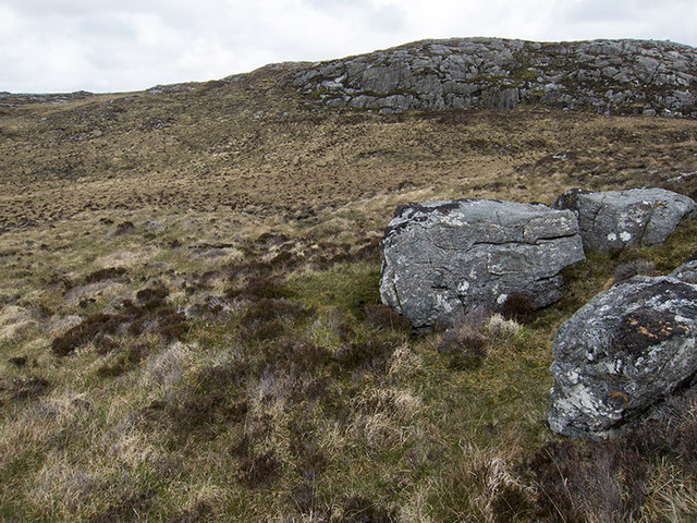
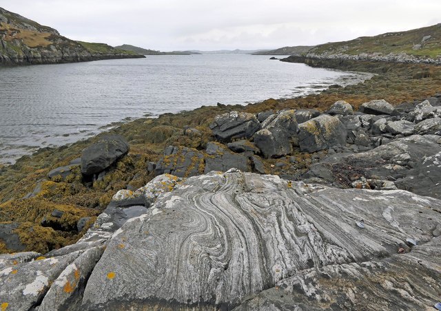
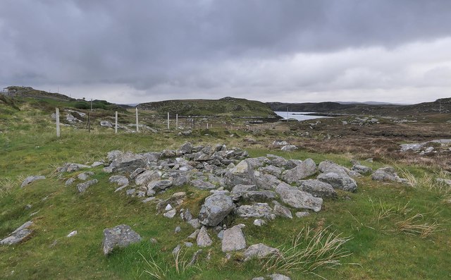
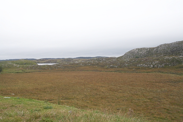
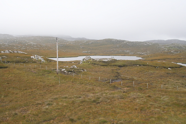
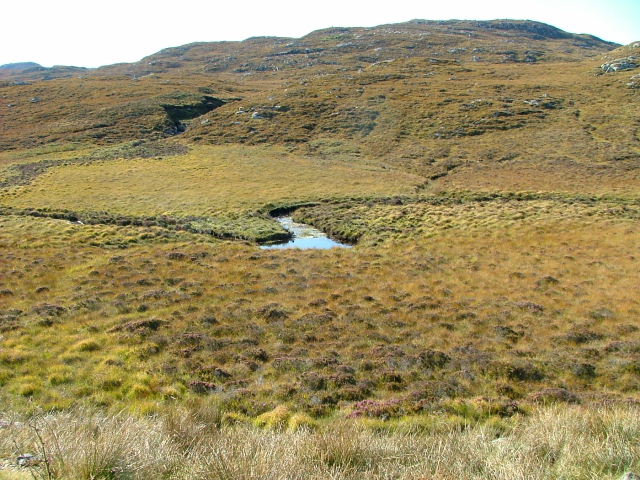
Lundal Images

Images are sourced within 2km of 58.192597/-6.7934364 or Grid Reference NB1832. Thanks to Geograph Open Source API. All images are credited.

Telephone Box at Crulabhig Probably it's only the sheep that get calls here?
Telephone Box at Crulabhig
Probably it's only the sheep that get calls here?
Crulivig: the telephone box Pictured during heavy rain, this phone box has Hebridean doors, to keep the wind at bay.
Crulivig: the telephone box
Pictured during heavy rain, this phone box has Hebridean doors, to keep the wind at bay.
Crulivig: postbox № HS2 91 This postbox stands on the opposite side of the road to <a href="https://www.geograph.org.uk/photo/3286743">NB1733 : Crulivig: the telephone box</a>. It is emptied each morning except Sunday at a quarter to nine.
Crulivig: postbox № HS2 91
This postbox stands on the opposite side of the road to NB1733 : Crulivig: the telephone box. It is emptied each morning except Sunday at a quarter to nine.
Boggy and rocky Often in this type of country, getting up onto a bit of high ground reveals a lochan or just a little pool to add a bit of interest. Not here. The high ground is on the lower slopes of Beinn Sgarastaigh, but with a summit height of 98 m, and difficult navigation through peat hags, no one is likely to get excited about it.
Boggy and rocky
Often in this type of country, getting up onto a bit of high ground reveals a lochan or just a little pool to add a bit of interest. Not here. The high ground is on the lower slopes of Beinn Sgarastaigh, but with a summit height of 98 m, and difficult navigation through peat hags, no one is likely to get excited about it.
Abandoned croft house near Lundal
Low cloud over Great Bernera A thin bank of cloud over the sea. Looking northeast from the B8059 near Lundale.
Low cloud over Great Bernera
A thin bank of cloud over the sea. Looking northeast from the B8059 near Lundale.
Rough pasture near Lundale Looking east towards Callanish, across Loch Ròg.
Rough pasture near Lundale
Looking east towards Callanish, across Loch Ròg.
Beinn Scarastaigh from near Lundale A large rocky hill about 1km to the southeast,
Beinn Scarastaigh from near Lundale
A large rocky hill about 1km to the southeast,
Possible fallen standing stone, Circebost, Great Bernera/Beàrnaraigh This stone lies approximately 80m ESE of <a href="https://www.geograph.org.uk/photo/5293759">NB1734 : Calanais/Callanish XV, Circebost, Great Bernera/Beàrnaraigh</a>.  The croft owner, who is the grandson of Norman MacDonald who originally brought Callanish XV to archaeologists' attention, believes it to be fallen standing stone.
Possible fallen standing stone, Circebost, Great Bernera/Beàrnaraigh
This stone lies approximately 80m ESE of NB1734 : Calanais/Callanish XV, Circebost, Great Bernera/Beàrnaraigh. The croft owner, who is the grandson of Norman MacDonald who originally brought Callanish XV to archaeologists' attention, believes it to be fallen standing stone.
Looking down at Circebost Circebost or Kirkibost is a tiny settlement on Great Bernera. This island is now connected to Lewis by a short pre-stressed concrete bridge. In 1953 when it was built it was and remains the first bridge of such material in Europe.  

The settlemenr is also important as it is the first planned crofting township in the Outer Hebrides, though I think town is a lofty description for such a small group of houses.
Looking down at Circebost
Circebost or Kirkibost is a tiny settlement on Great Bernera. This island is now connected to Lewis by a short pre-stressed concrete bridge. In 1953 when it was built it was and remains the first bridge of such material in Europe. The settlemenr is also important as it is the first planned crofting township in the Outer Hebrides, though I think town is a lofty description for such a small group of houses.
Tòb Lundale, Isle of Lewis Tòb Lundale is an inlet on Loch Ròg.  Tòb is a Gaelic word for bay or cove.
Tòb Lundale, Isle of Lewis
Tòb Lundale is an inlet on Loch Ròg. Tòb is a Gaelic word for bay or cove.
Building remains, Lundal, Isle of Lewis Looking towards the head of Tòb Lundale, an inlet on Loch Ròg.
Building remains, Lundal, Isle of Lewis
Looking towards the head of Tòb Lundale, an inlet on Loch Ròg.
Phonebox on the road to Great Bernera
End of the road at Tobhtaral Two houses at the end of the road in the SE corner of Great Bernera island.
End of the road at Tobhtaral
Two houses at the end of the road in the SE corner of Great Bernera island.
Am Port Mor A shallow bay on the south east coast of Great Bernera.
Am Port Mor
A shallow bay on the south east coast of Great Bernera.
Druim a Chruidh The flat peat bog hides the small Lundale river and several tributaries which flow into Tob Lundale.
Druim a Chruidh
The flat peat bog hides the small Lundale river and several tributaries which flow into Tob Lundale.
Loch Aird A small inland loch that drains into Loch na Faing.
Loch Aird
A small inland loch that drains into Loch na Faing.
Lundale River Beneath Cleite na Cloich Ard.
Lundale River
Beneath Cleite na Cloich Ard.
Show me another place!

Lundal is located at Grid Ref: NB1832 (Lat: 58.192597, Lng: -6.7934364)

Unitary Authority: Na h-Eileanan an Iar

Police Authority: Highlands and Islands

Also known as: Lundale

What 3 Words

///rummage.blatantly.chopper. Near Carloway, Na h-Eileanan Siar

Related Wikis

Eilean Chearstaidh

Eilean Kearstay (Scottish Gaelic: Eilean Chearstaigh) is an uninhabited island in Loch Roag in the Outer Hebrides of Scotland. It lies south east of Great...

Callanish VIII

The Callanish VIII stone setting is one of many megalithic structures around the better-known (and larger) Calanais I on the west coast of the Isle of...

Ceabhaigh

Ceabhaigh is a small island in an arm of Loch Ròg on the west coast of Lewis in the Outer Hebrides of Scotland. It is about 25 hectares (62 acres) in extent...

Callanish Stones

The Callanish Stones (or "Callanish I": Scottish Gaelic: Clachan Chalanais or Tursachan Chalanais) are an arrangement of standing stones placed in a cruciform...

Nearby Amenities

Located within 500m of 58.192597,-6.7934364
Bus Stop
Lundale
Naptan AtcoCode: 6010731740
Naptan Bearing: S
Naptan CommonName: Lundale
Naptan Indicator: Village
Naptan Landmark: Village
Naptan NaptanCode: 94723826
Naptan Street: Village
Naptan Verified: no
Source: naptan_import
Lat/Long: 58.1894332/-6.7908529
Passing Place
Lat/Long: 58.1907069/-6.7920725
Passing Place
Lat/Long: 58.191848/-6.7924771
Lundal
Name En: Lundale
Name Gd: Lundal
Place: hamlet
Lat/Long: 58.1908796/-6.7913799
Power: pole
Lat/Long: 58.1895696/-6.7874014
Power: pole
Lat/Long: 58.1897187/-6.7887356
Power: pole
Lat/Long: 58.189813/-6.7896577
Power: pole
Lat/Long: 58.1899006/-6.7904563
Power: pole
Lat/Long: 58.1905679/-6.7916454
Power: pole
Lat/Long: 58.1910347/-6.7925544
Power: pole
Lat/Long: 58.1913161/-6.7947063
Power: pole
Lat/Long: 58.1914416/-6.7958036
Power: pole
Lat/Long: 58.1914781/-6.7964845
Power: pole
Lat/Long: 58.191516/-6.7979719
Power: pole
Lat/Long: 58.1915995/-6.7984956
Power: pole
Lat/Long: 58.191942/-6.8001051
Power: pole
Lat/Long: 58.1921863/-6.8012664
Power: pole
Lat/Long: 58.1889727/-6.7888752
Power: pole
Lat/Long: 58.189401/-6.788812
Power: pole
Lat/Long: 58.1899574/-6.7881841
Power: pole
Lat/Long: 58.1901982/-6.7875732
Power: pole
Lat/Long: 58.1905208/-6.7867755
Power: pole
Lat/Long: 58.1907443/-6.7862212
Power: pole
Lat/Long: 58.1909881/-6.7856082
Power: pole
Lat/Long: 58.1917475/-6.7861432
Power: pole
Lat/Long: 58.1921436/-6.7864214
Power: pole
Lat/Long: 58.1925013/-6.786661
Power: pole
Lat/Long: 58.1957857/-6.7945517
Power: pole
Lat/Long: 58.195254/-6.7942831
Power: pole
Lat/Long: 58.194557/-6.7939446
Power: pole
Lat/Long: 58.1939979/-6.7936602
Power: pole
Lat/Long: 58.1934122/-6.7938612
Power: pole
Lat/Long: 58.1926858/-6.7941526
Power: pole
Lat/Long: 58.1919434/-6.7944908
Barrier: cattle_grid
Lat/Long: 58.1893988/-6.7905747
Passing Place
Lat/Long: 58.1888668/-6.790608
Passing Place
Lat/Long: 58.1898098/-6.7911958
Barrier: cattle_grid
Lat/Long: 58.1906755/-6.7921707
Power: pole
Lat/Long: 58.1911734/-6.7935988
Power: pole
Lat/Long: 58.1914184/-6.7859008
Passing Place
Lat/Long: 58.1904588/-6.7879435
Passing Place
Lat/Long: 58.1899509/-6.7894179
The data included in this document is from www.openstreetmap.org. The data is made available under ODbL.

Have you been to Lundal?

Leave your review of Lundal below (or comments, questions and feedback).